Lahn canoeing – 1
Canoeing beside the Camino de Santiago
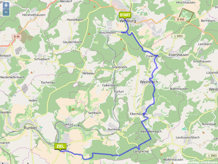
Wetzlar to Limburg (Click here for Limburg to Lahnstein)
The Lahn valley was once an important wine growing region. In the 17 century vineyards extended as far upstream as Marburg. Today, only two commercial ones remain, Obernhofer Goetheberg and Weinährer Giebelhöll, although abandoned ones are still visible at Dausenau and Nassau, and enthusiasts have recently been replanting at Runkel.
The distance boards on the bank measure from the historic border between Prussia and Nassau, a few km downstream of Giessen, but the river is canoeable from Marburg, 37 km above that point.
Click here for another account of the same trip.
WARNING – We made this trip in May 2015, and although I composed this blog the following winter, for some reason I never posted it. Perhaps I wanted to check the mileages or some other detail. Now I’ve forgotten. Please forgive errors.
9.5 km – Camping Wetzlar (click here). Car park and easy launch spot.

10.5 km – Railway and Wolfgang-Kuhle-Strasse bridges adjacent to each other.


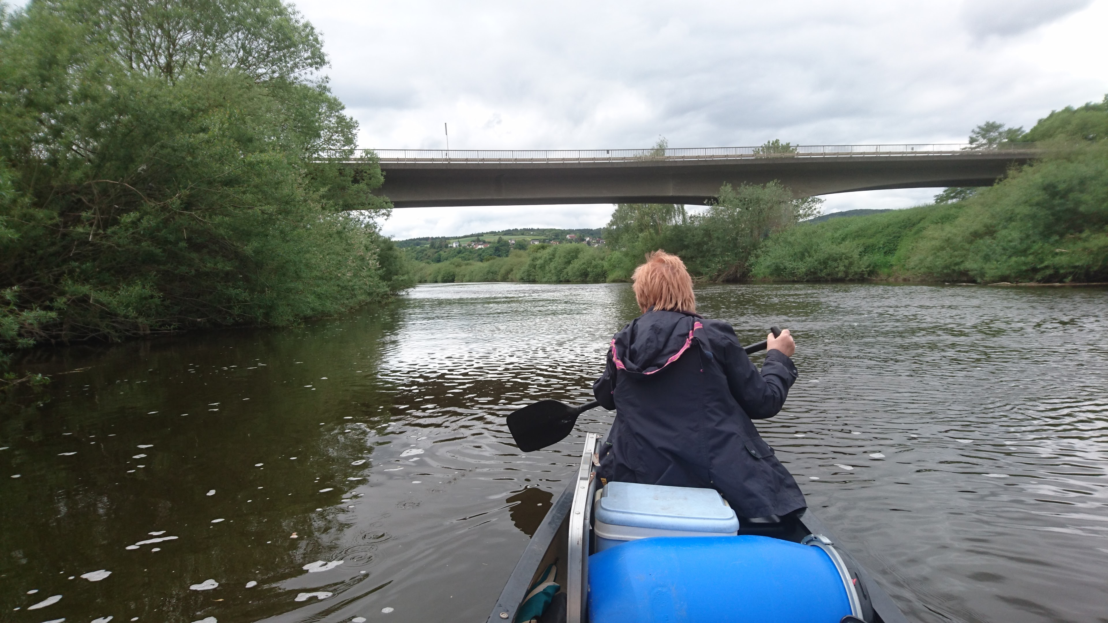
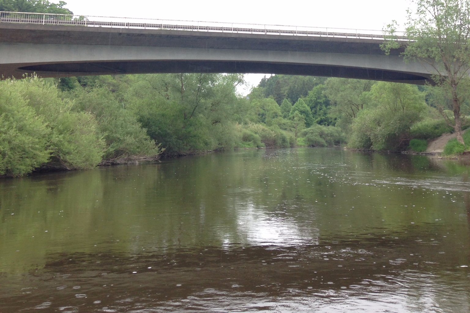
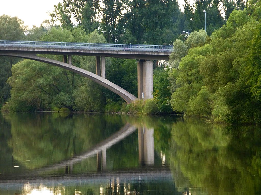
11 km – The beautifully curved E44 bridge.
11.4 km – Brukenstrasse bridge. Weir below. Canoe shoot right. Gentle slope. Easy.
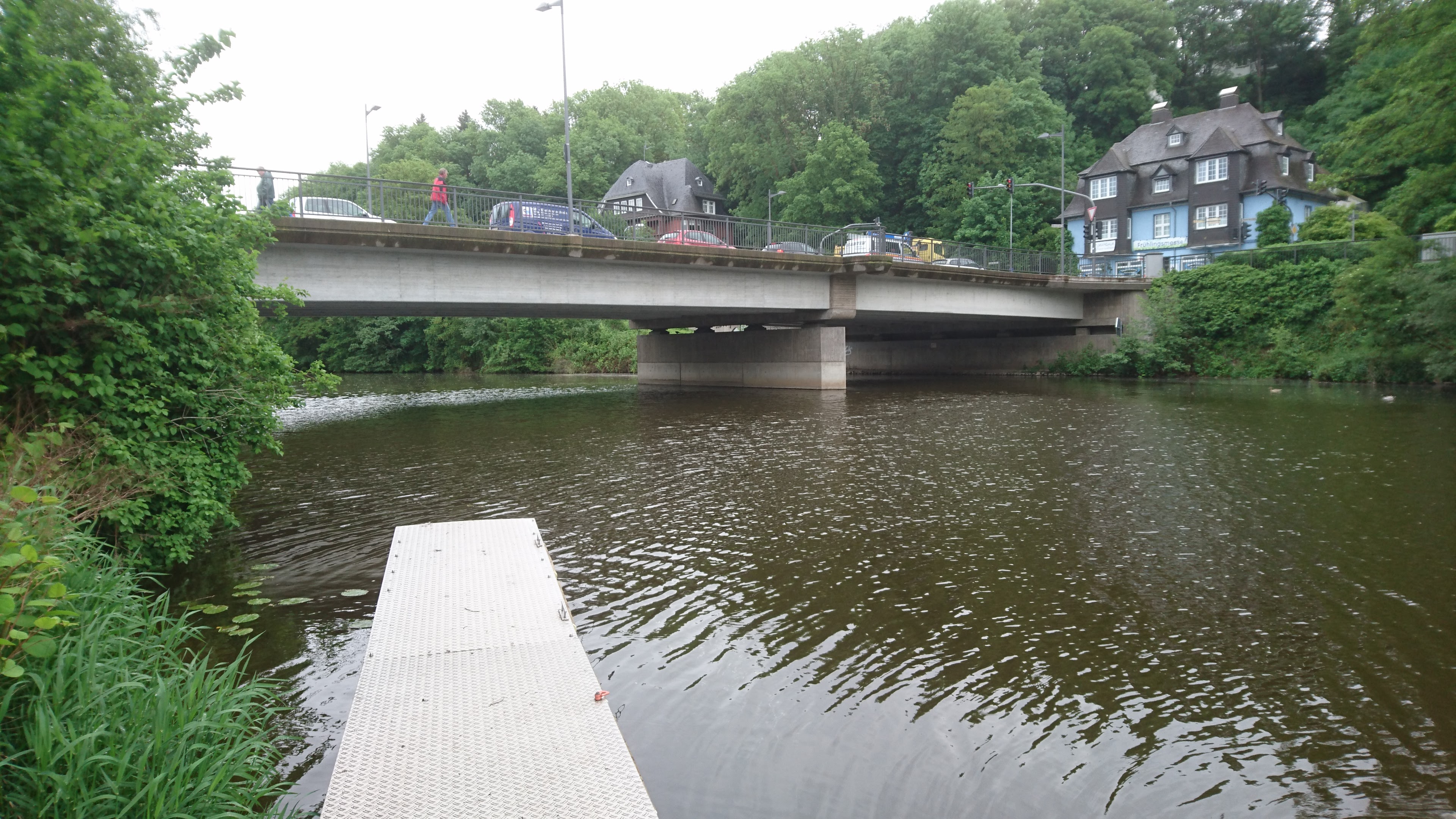
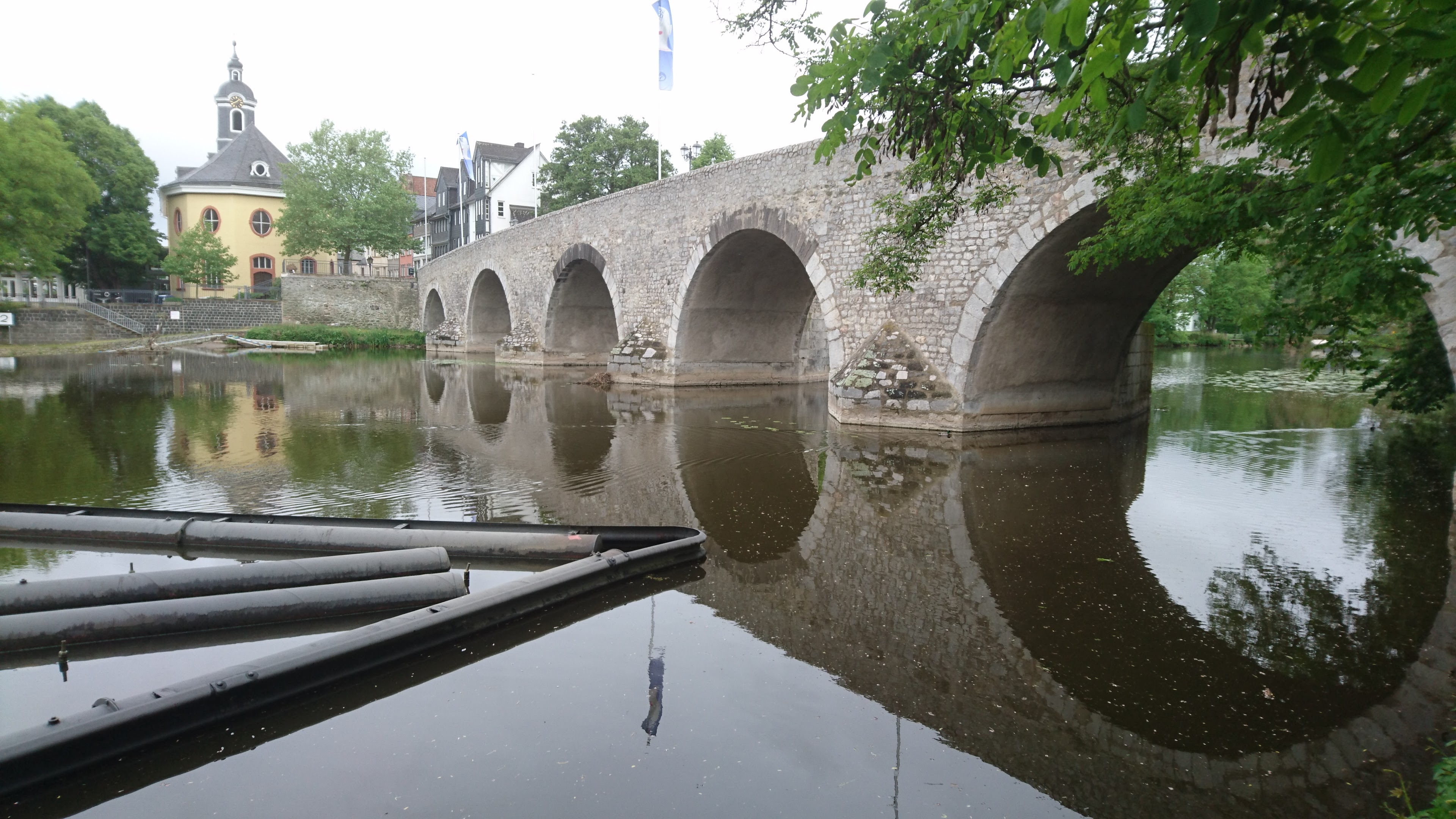
11.8 km – Arno Riedl pontoon footbridge (1985). Sculpture park, Old Town and Cathedral (Dom) left.


The Cathedral of our Lady, at the start of the Lahn Camino de Santiago, has a statue of St James on the left of the door of the south tower. The first stage of the camino heads south away from the river before turning west at Kirschenwaldschen to pass through Nauborn, Laufdorf, and Solms-Oberndorf-Braunfels before rejoining the river at Weilburg. Generally the bank of the river was boggy and difficult going so pilgrims kept to higher ground.

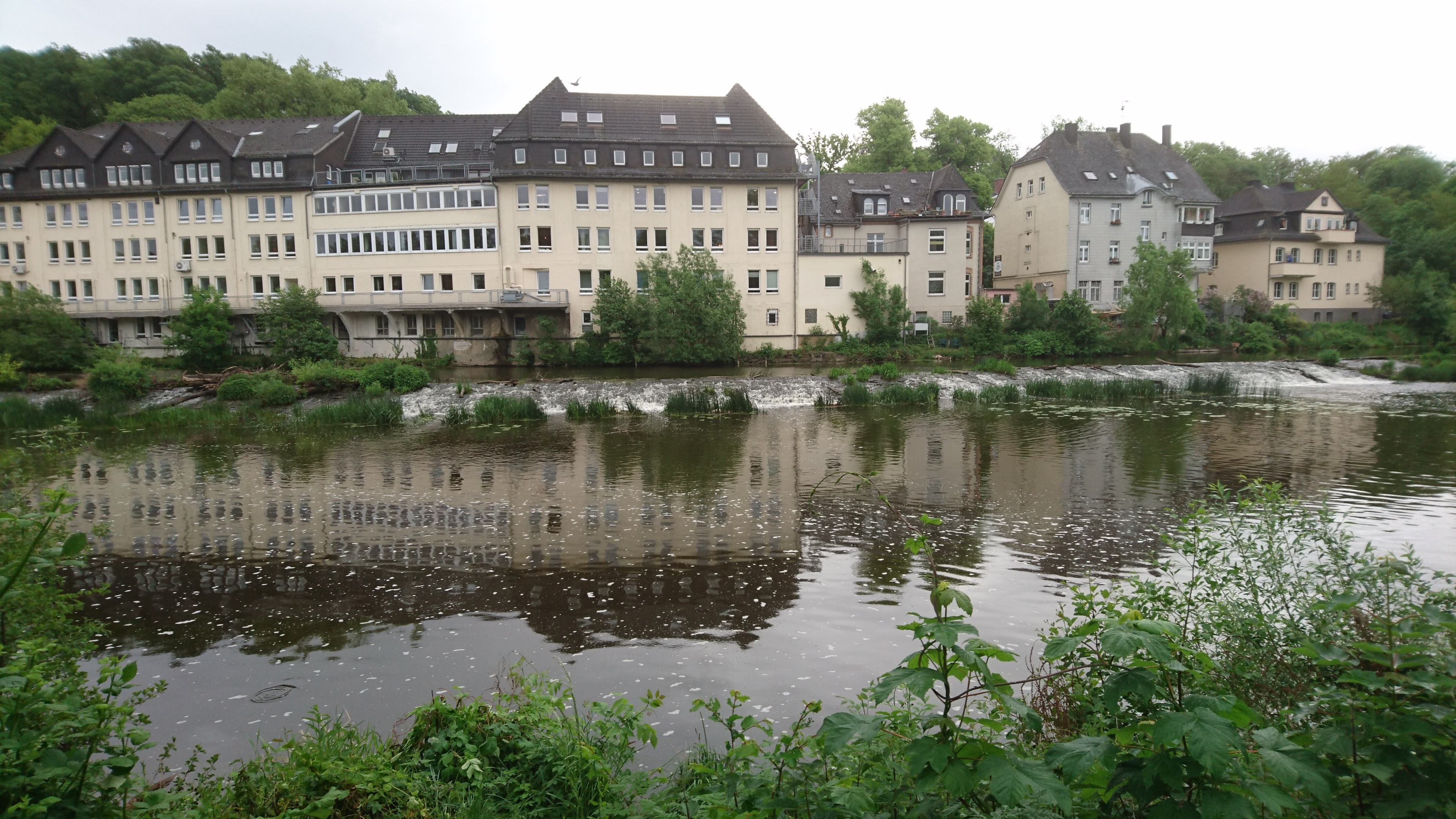
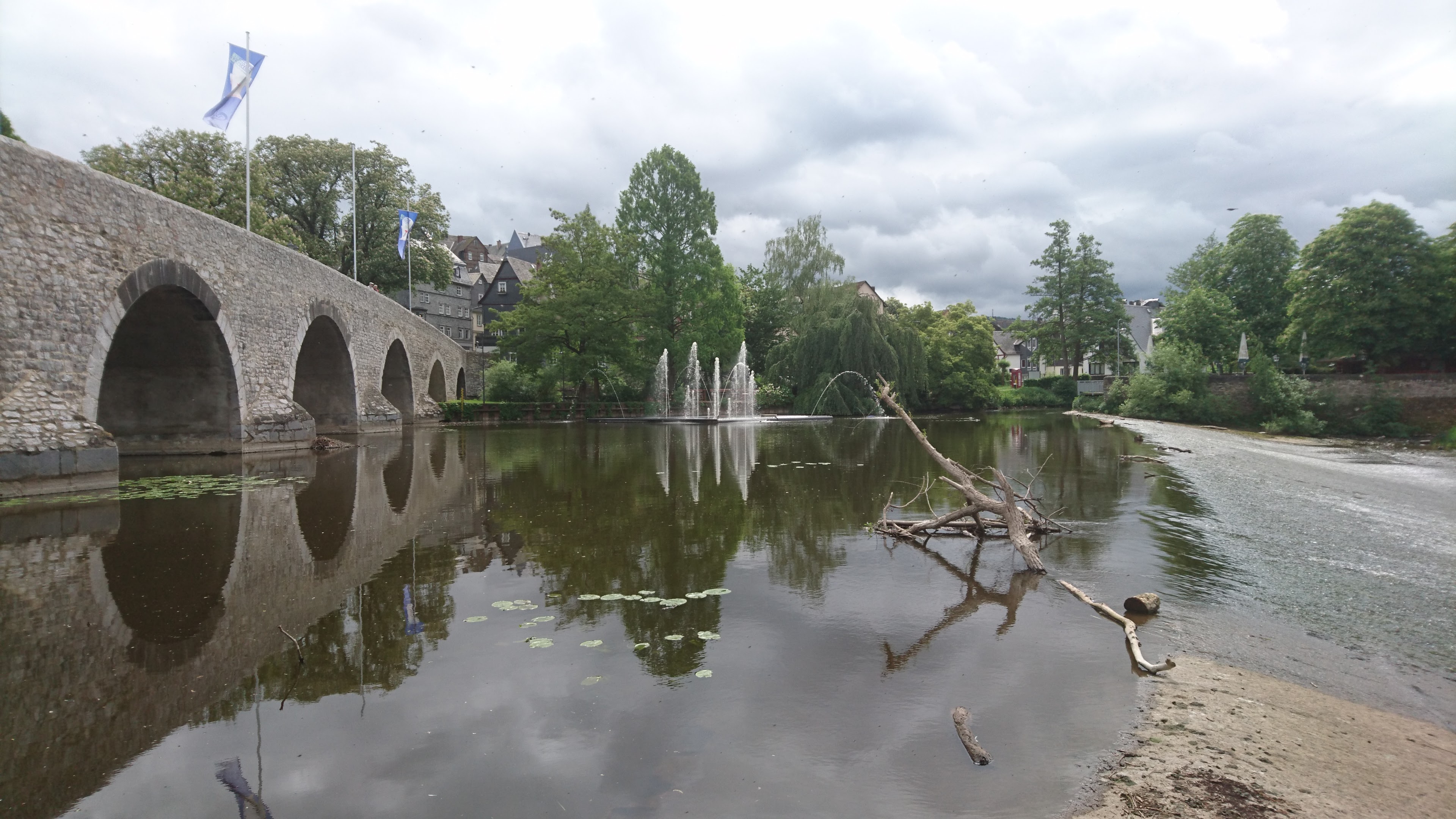
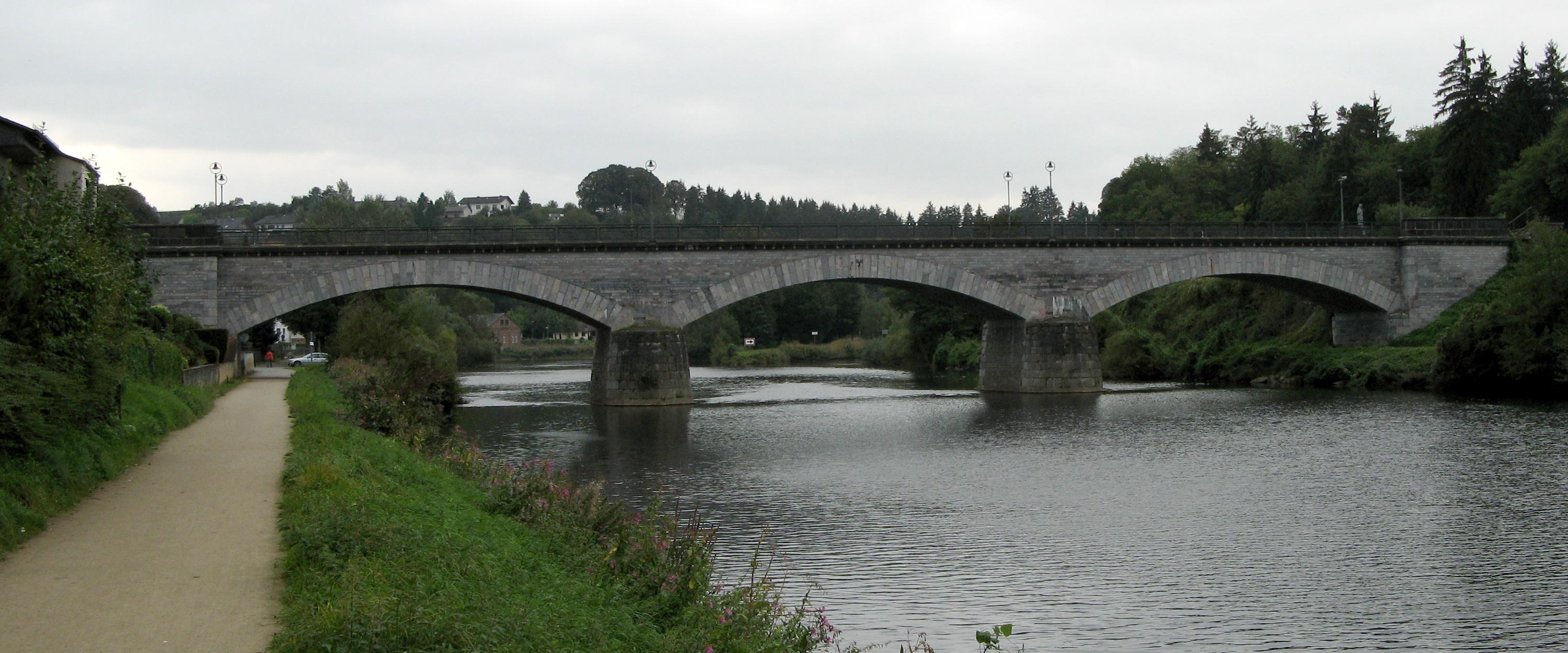
12 km – Old bridge with weir immediately after. Portage on rollers right. Medieval bridge believed to have been built late 13th century. Defaced by fountains just below and a garish blue puppy dog statue on the bridge. Don’t miss Restaurante al Camino (click here)


12.1 km -Road bridge
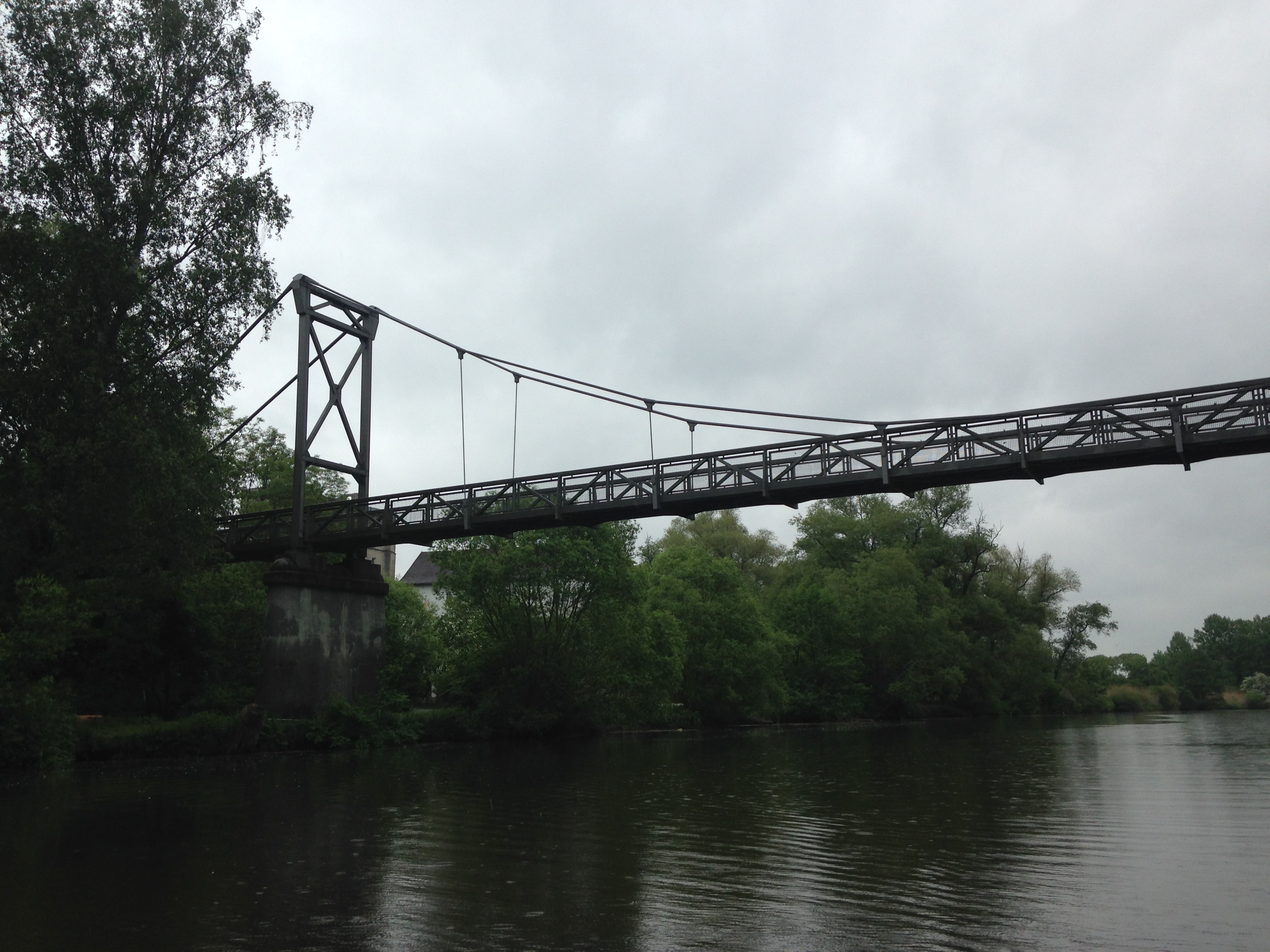
12.6 km – Suspension footbridge Muhlegraben

12.9 km – River Dill enters right

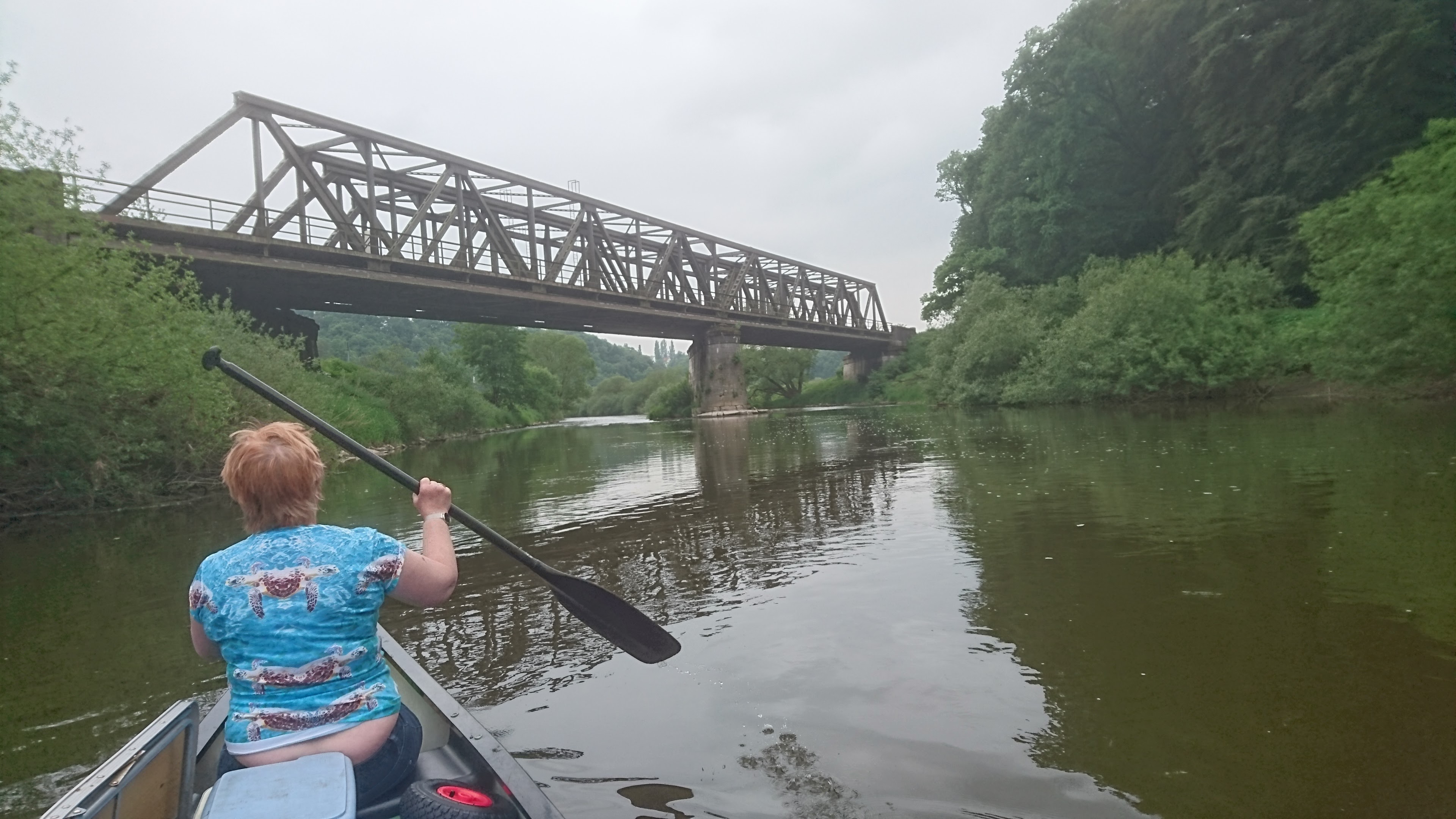
13.8 km – Railway bridge
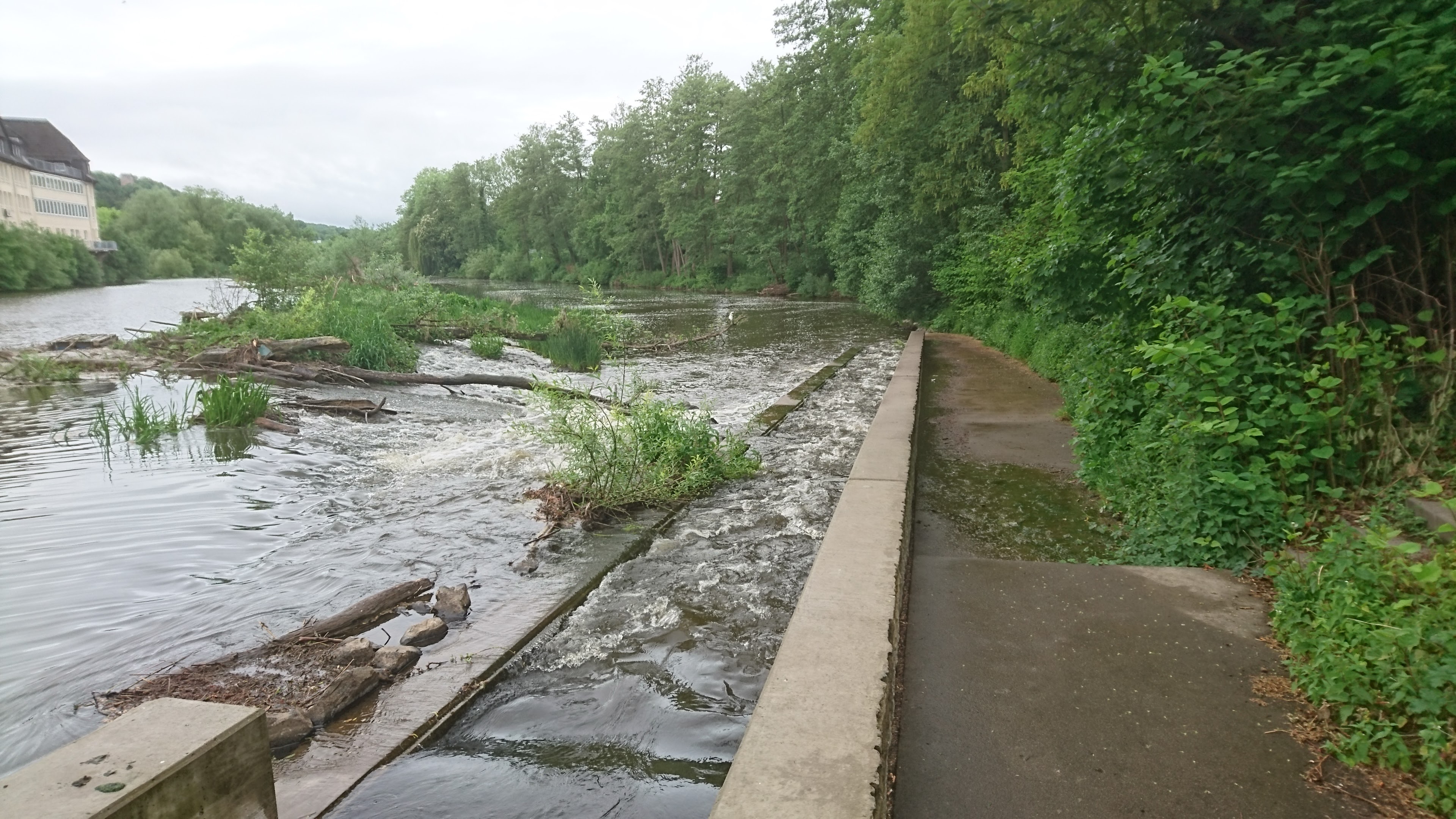
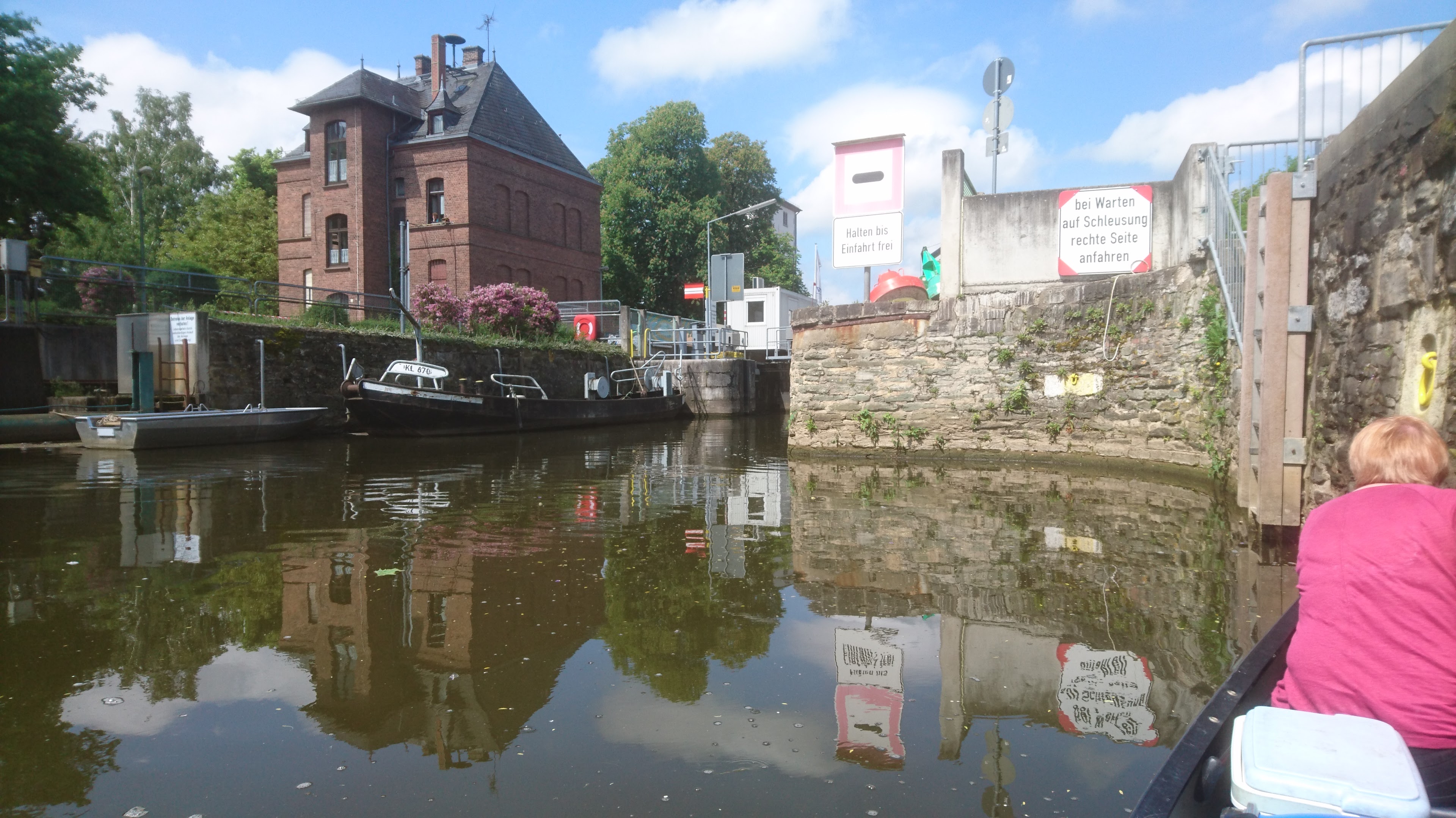
16 km – Weir left. Lock Altenburg right channel.


18.7 km – Albshausen left, Oberbiel right. River splits into three channels. Right to weir. Middle to hydro electric power station. Left to lock channel.
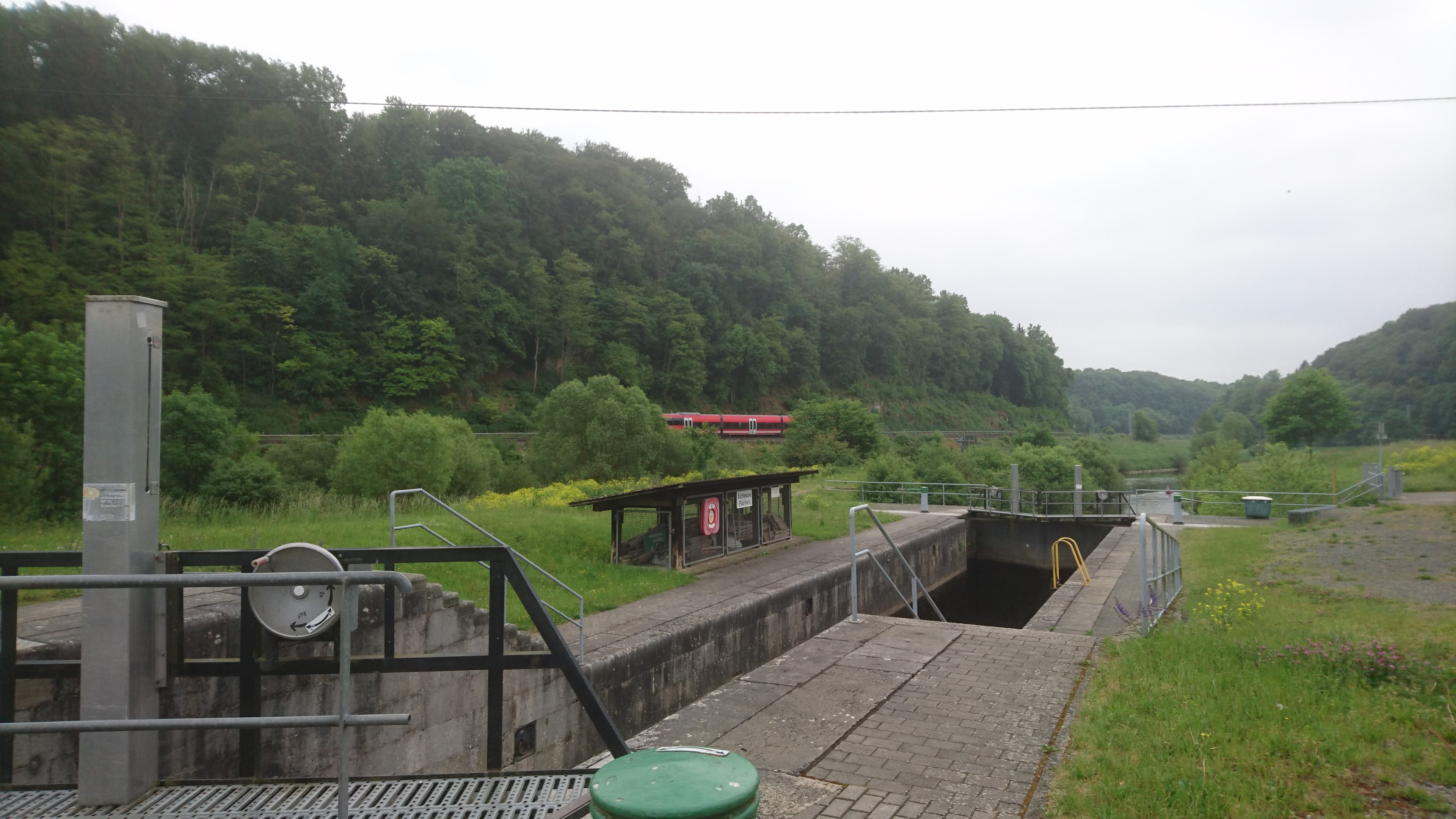
19 km – Oberbiel lock
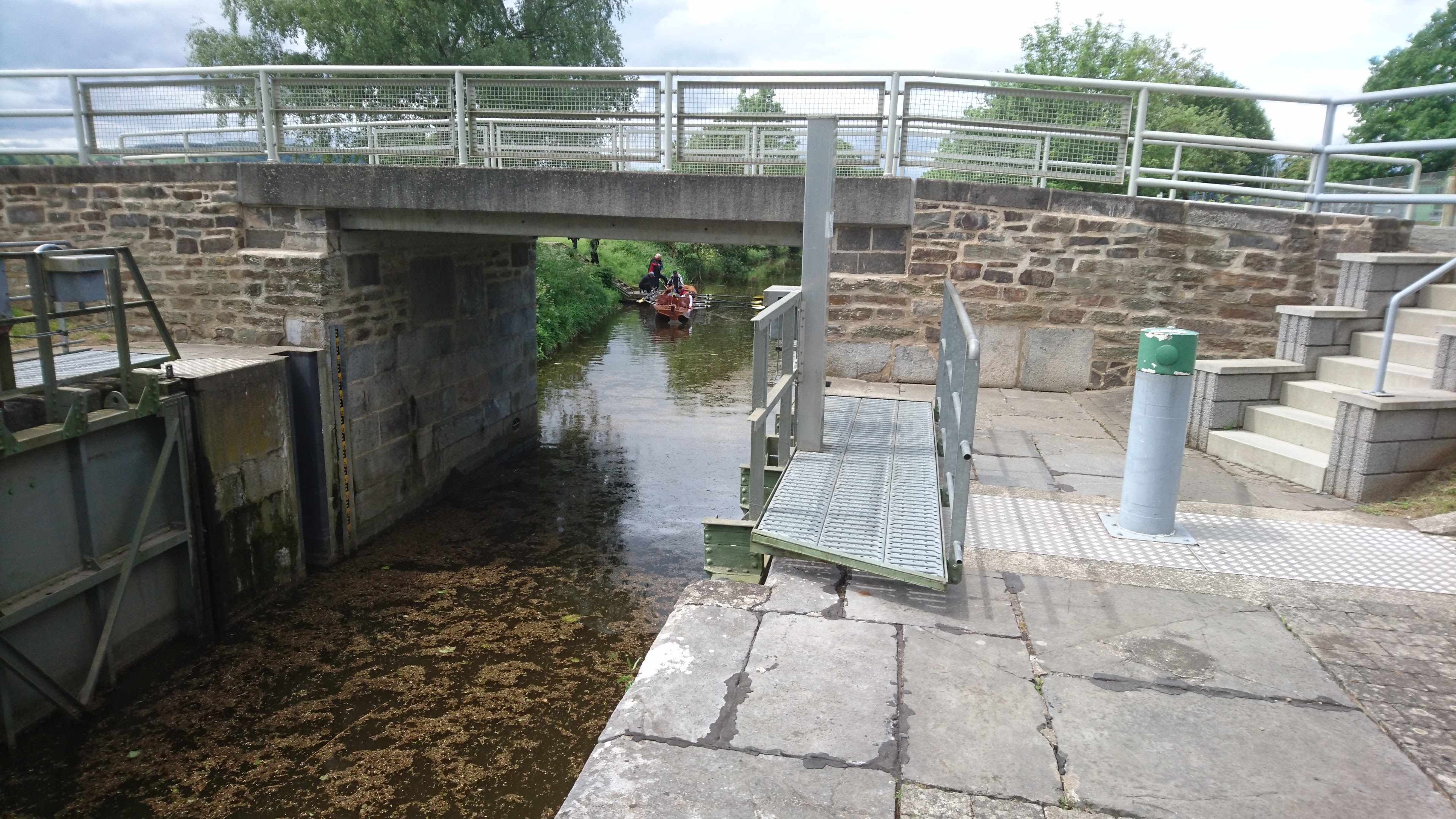
20 km Niederbiel lock.
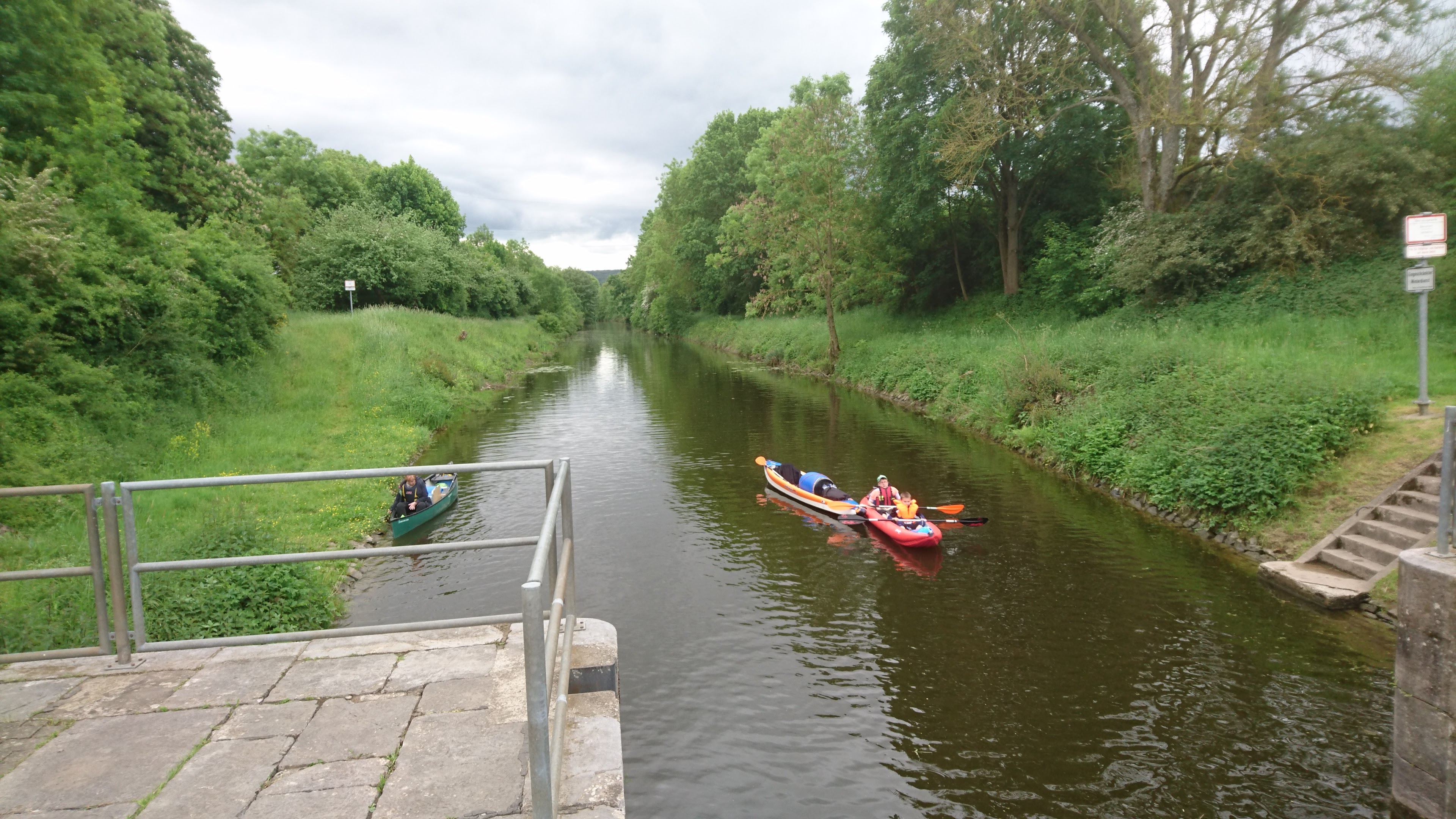
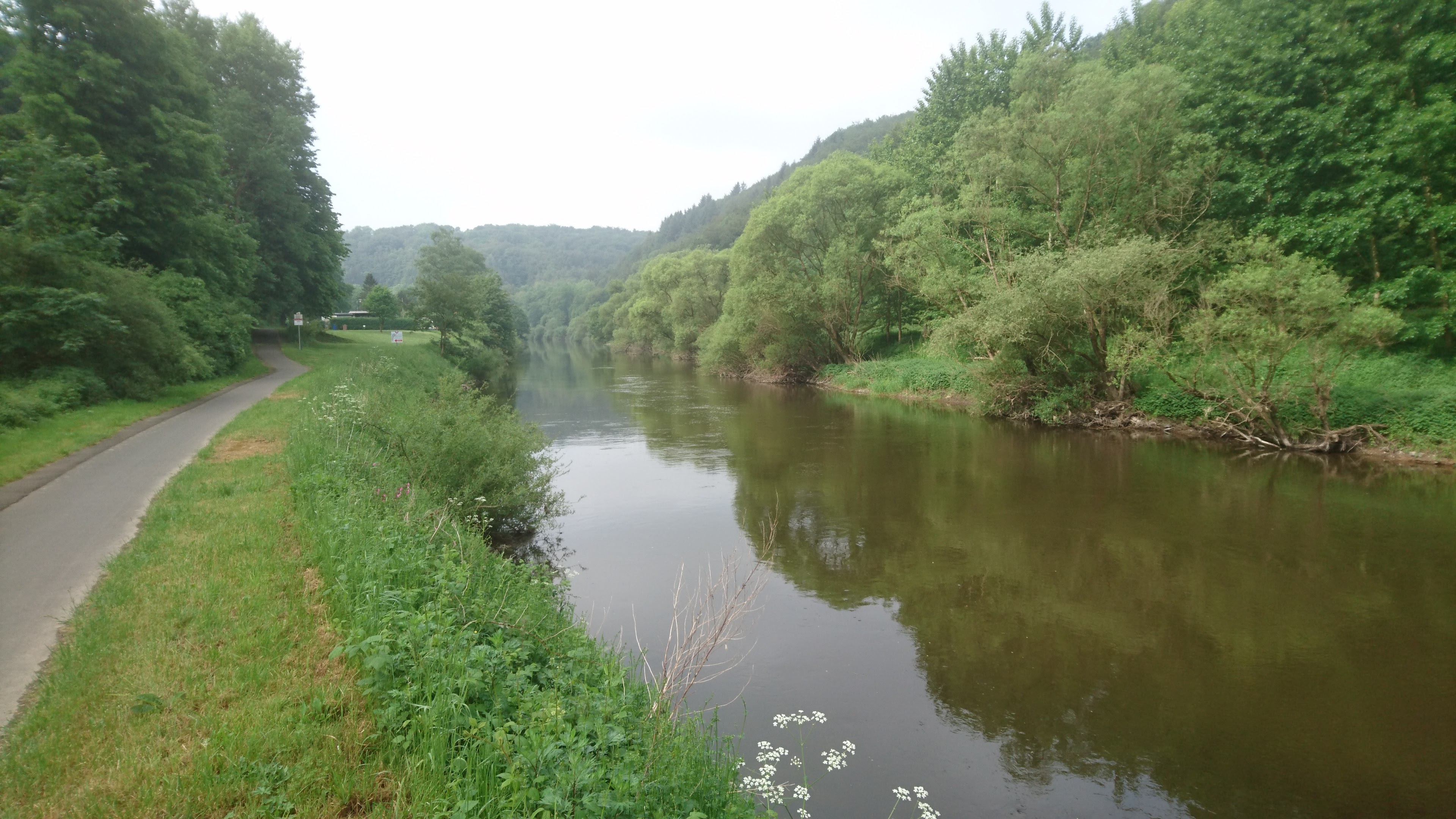
Between here and Selters the river flows well with numerous tiny rapids and riffles.
20.5 km – L3283 bridge
23.5 km – Lahntours camping right (click here).
24 km – Footbridge and 12.8 km – E44 bridge

25 km – Brukenstrasse bridge. Leun right. Some little rapids below.


The river leaves the Hessian mountains enters the Rhenish slate massif through which it will pass for the rest of its course.
26 km – Camp right after Leun http://www.stell-und-zeltplatz-lahnwiese-leun.de/ Bivouac German style; toilet, shower and someone comes round to collect the fees about 6pm.

28 km -Railway bridge

29 km – E44 bridge
30 km – Biskirchen right. Look out for turtles

34 (check) km -Sewage pipe bridge

35 km Selters left followed by

35.9 km – Lohnberg footbridge
36 km – Lohnburg weir and mill right. Lock left


38 km -Ahausen bridge

39.5 km -Railway bridge. Weilburg right


From Weilburg the camino follows the south bank for a mile or so before leaving to run over higher ground to the southwest until rejoining at Vilmar.

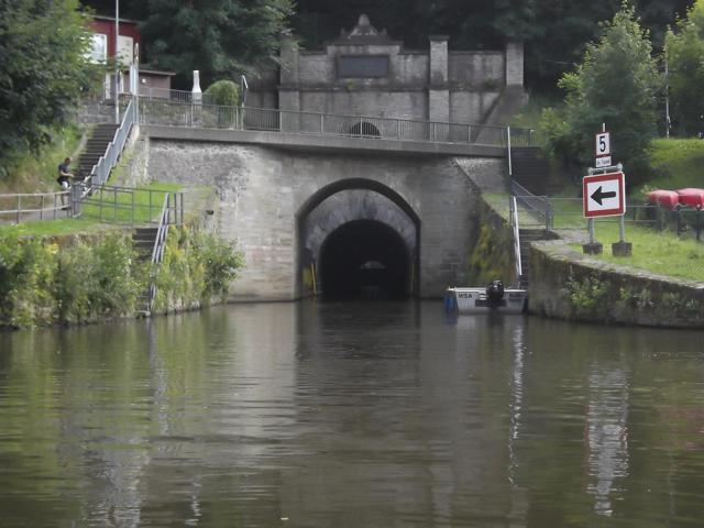
39.7 km – Weilburg tunnel left. The distance markers on the bank follow the main river course. So you save about 2km paddling distance by going through the tunnel. The tunnel is large and airy and about 200 metres long. The far end is visible as soon as you enter, albeit partially obscured by the lock gate at the exit. There is no landing stage above the lock so you have to climb directly up a metal ladder to work the gates. Fine for two in an open canoe but would be tricky for a single person in a kayak.


Ignore main channel under 456 road bridge to weir, castle, old Lahn bridge. Beyond that steel footbridge


41.5 km – Emerge from Weiburg lock at downstream end of the tunnel
Bivouac campsite right bank opposite the tunnel. There’s said to a plaque on the left bank marking the site of the crash of Zepellin Z II on 24 April 1910 (more here). I couldn’t see it from the river.


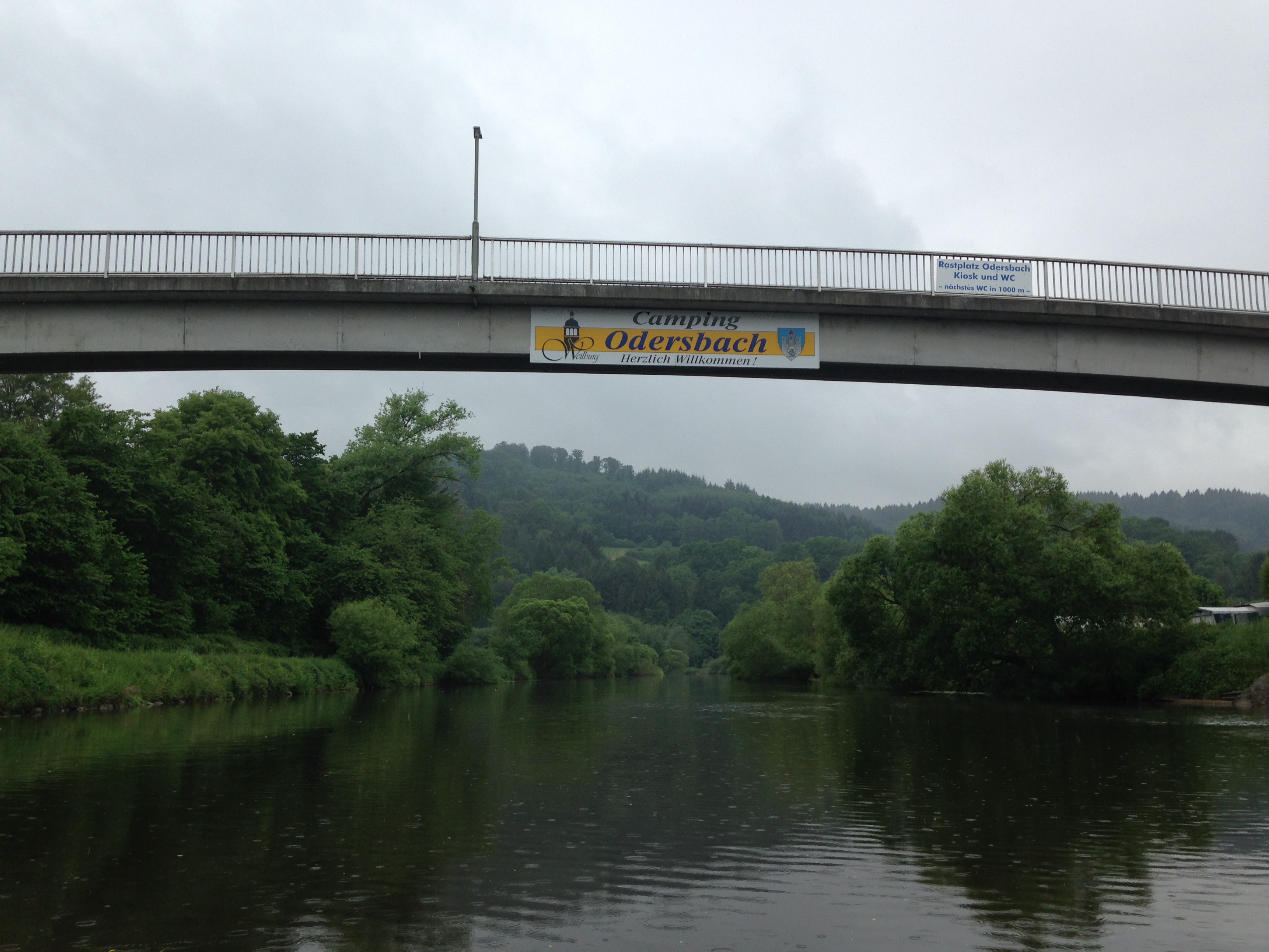
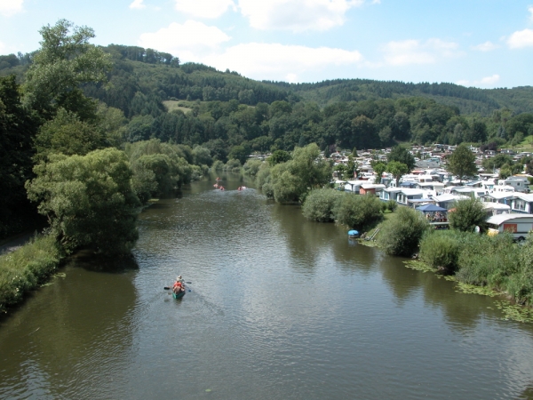
44 km – Footbridge (Odersbach right, Kirschofen left) followed by Camping Odersbach right (click here)

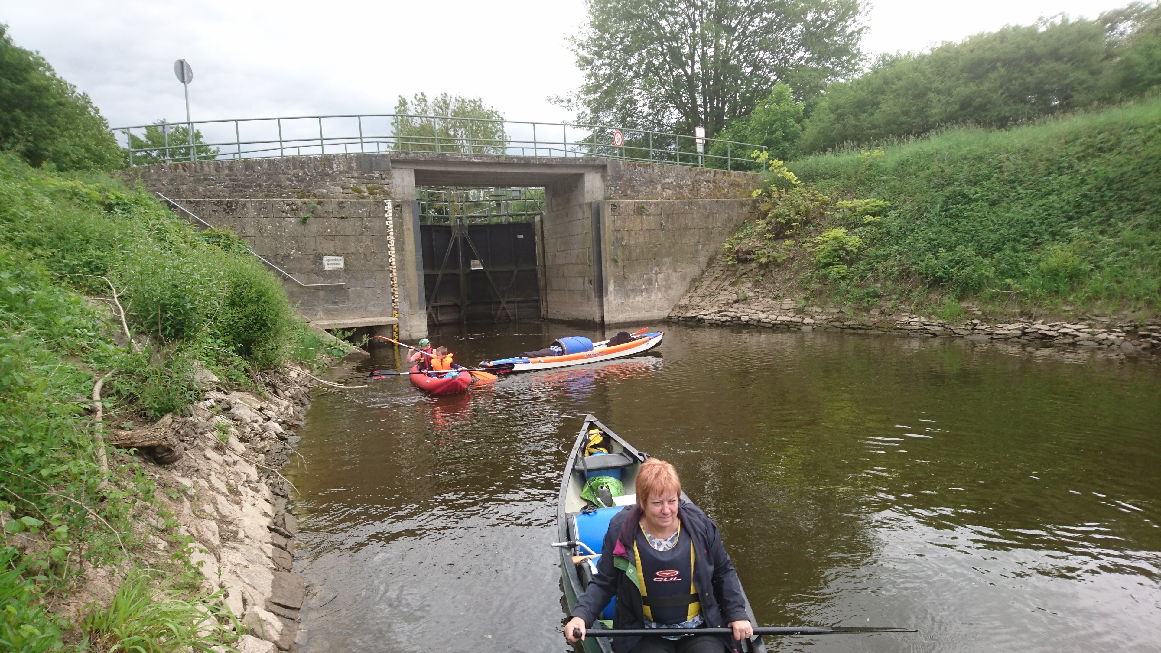
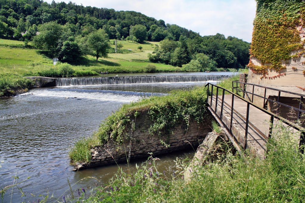
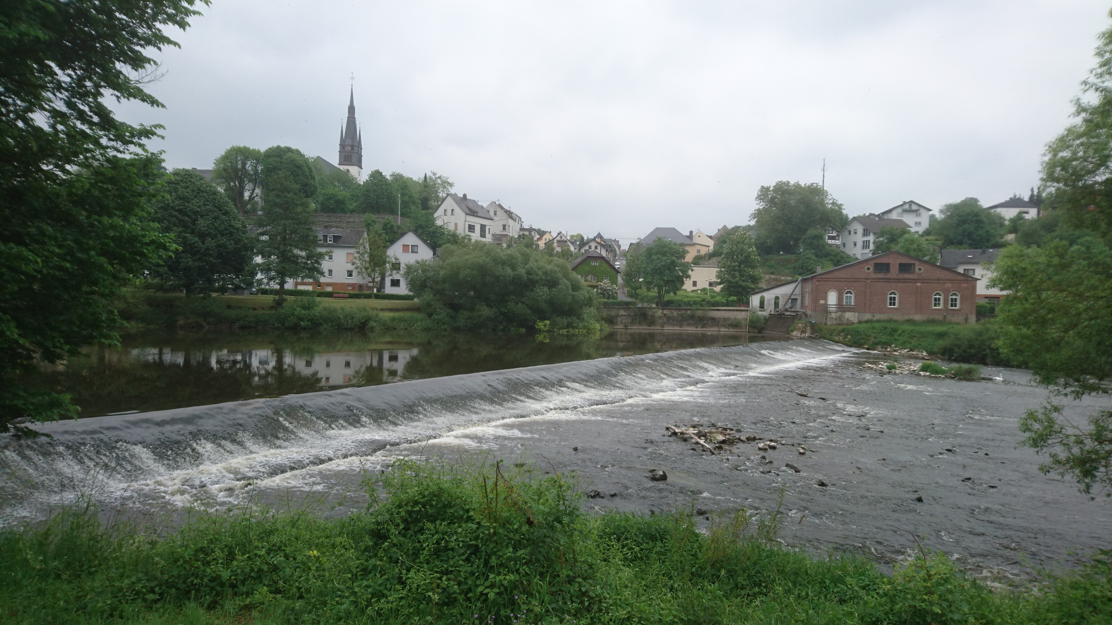
45.5 km – Kirschofen weirs left (an unusual pair of weirs in series). Keep right for Kirschofen lock

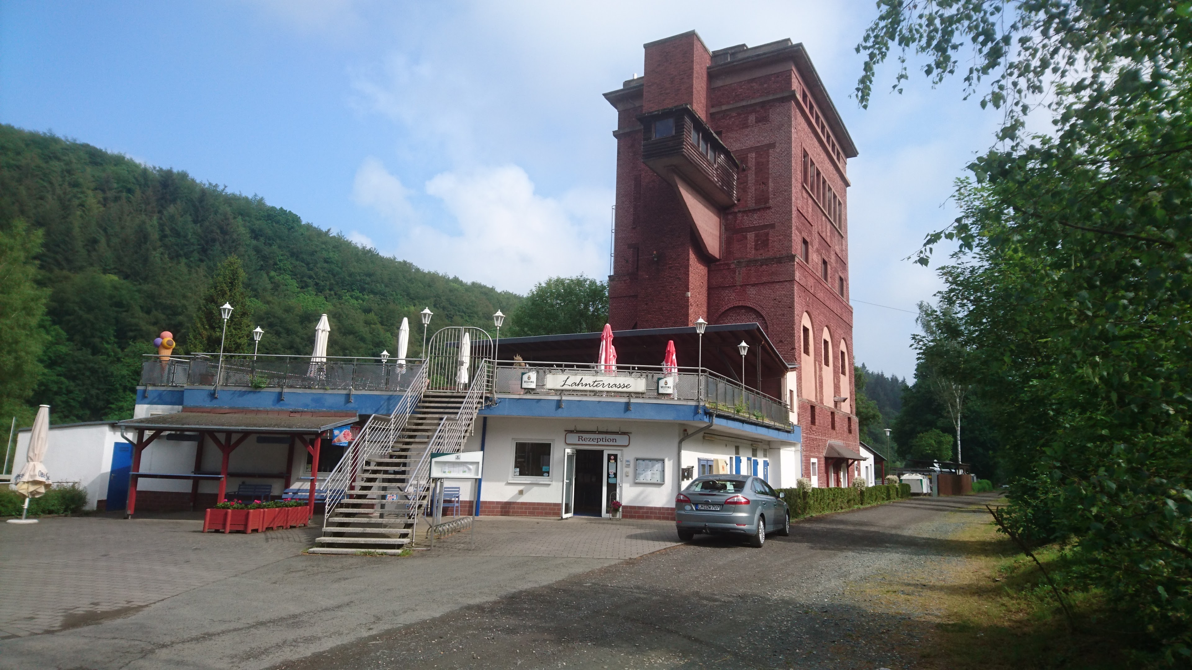
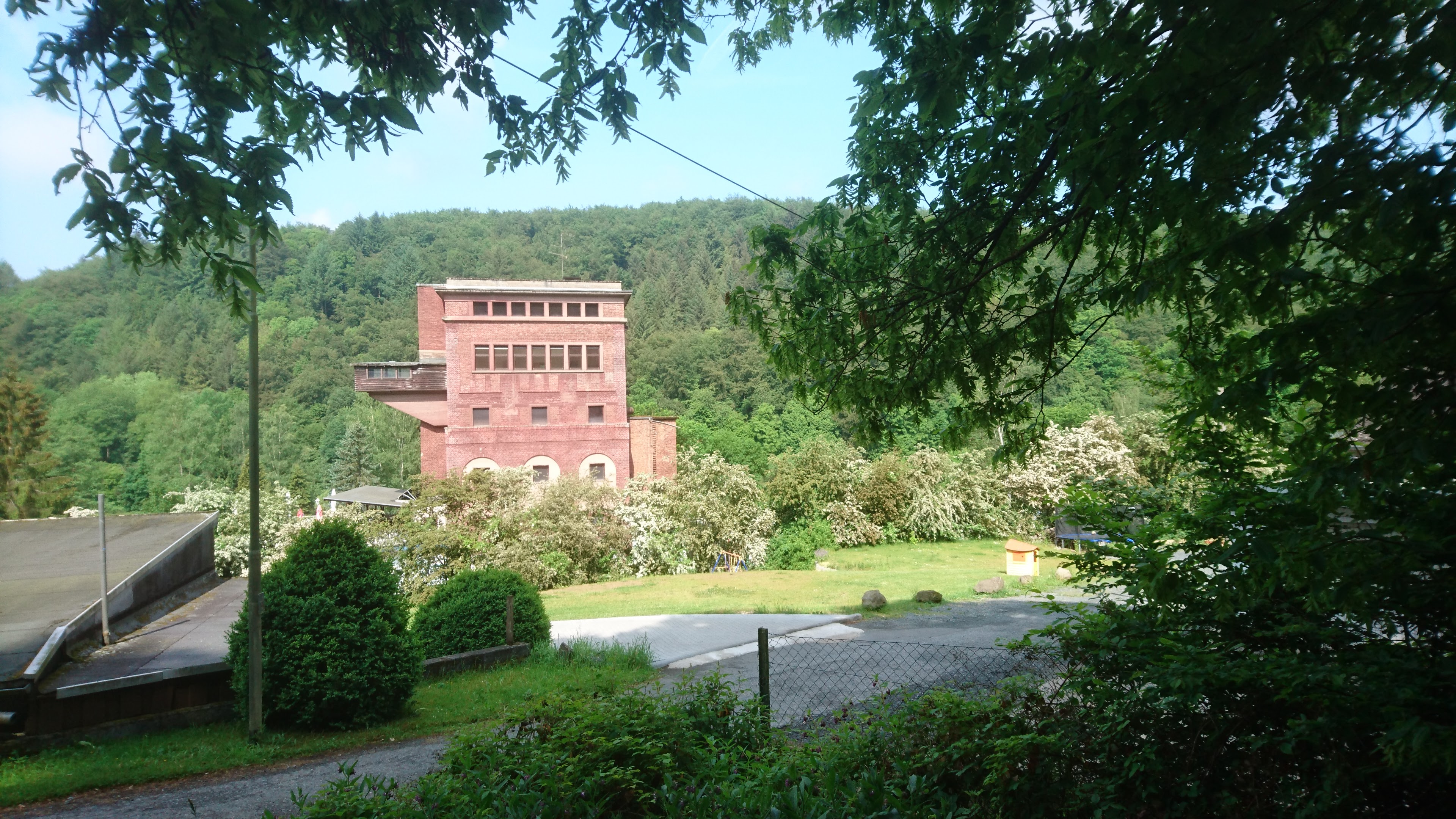
48 km – Camping Graveneck left http://www.camping-graeveneck.de/ Lovely site adjacent to old railway tower and sidings.


48.5 km – L3452 bridge

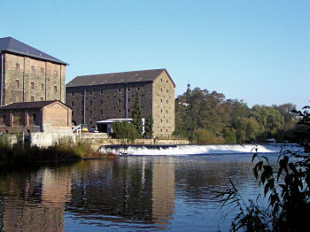
50.5 km – Furfurt town left. Followed by Furfurt weirs, another double set, left. Furfurt lock right.


Small rapids below Furfurt

42.7 km -Bridge. Aumenau right. Access right.


44.6 km – Railway bridge

47 km – Arfurt right

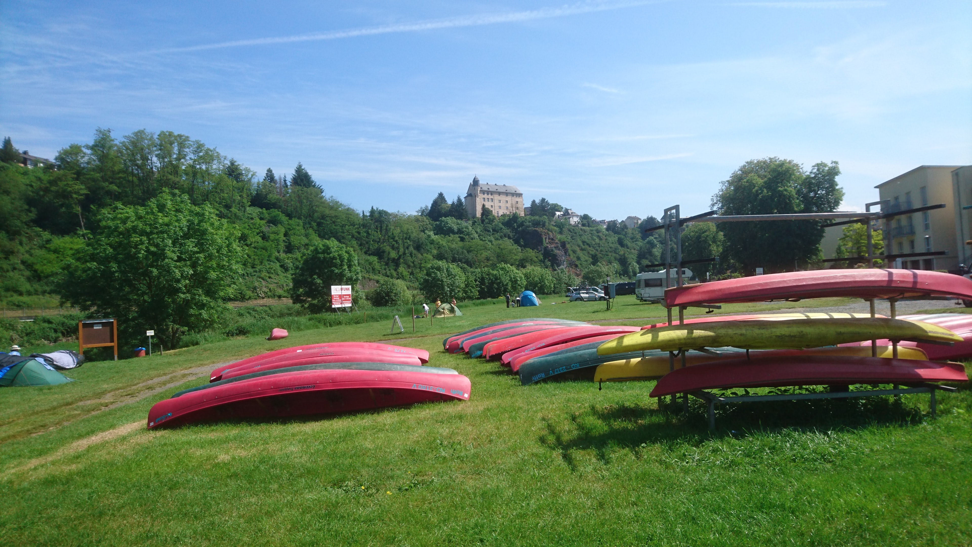
48.2 km – Camping Runkel right a bivouac site. Don’t confuse with the much larger Campingplatz Runkel near the mouth of the river at Lahnstein.
62.5 km – Unica quarry right, Marble bridge. Followed by Vilmar left. Marble from the abandoned Unica quarry, now a museum (click here) was once a popular ornamental stone. It was used in the Hermitage in St Petersburg, the Kremlin and the lobby of the Empire State building

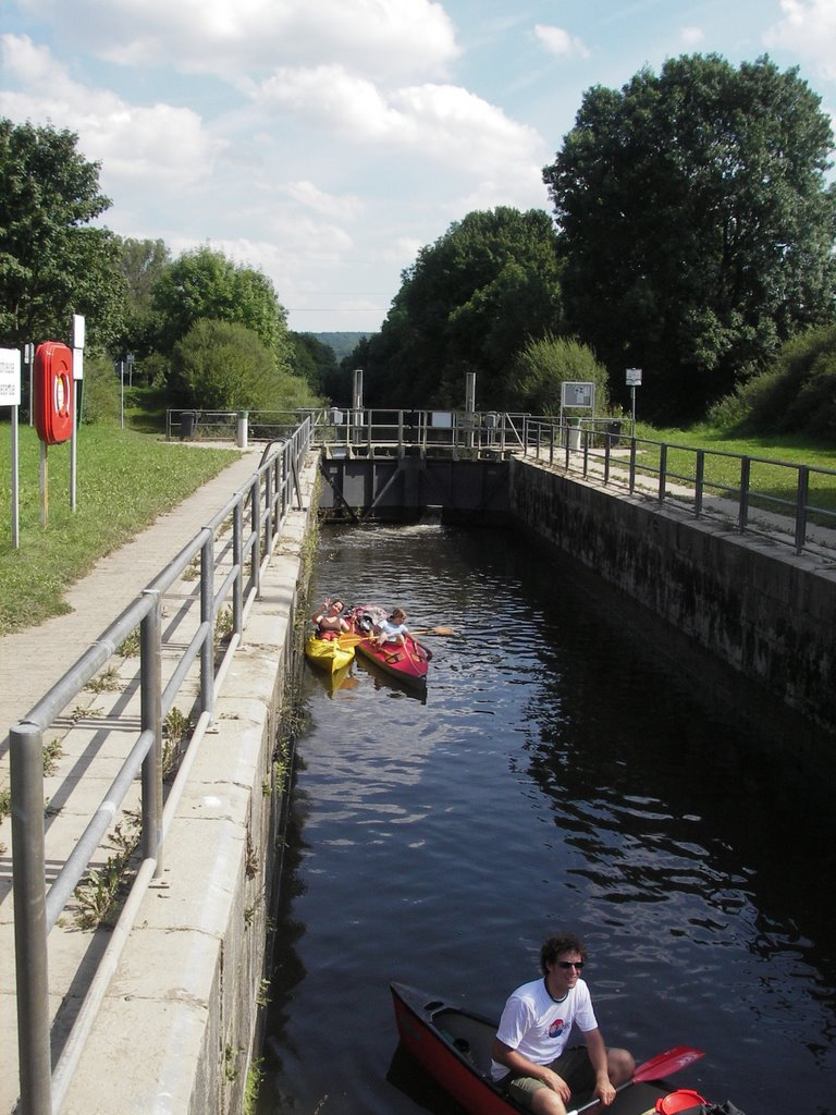
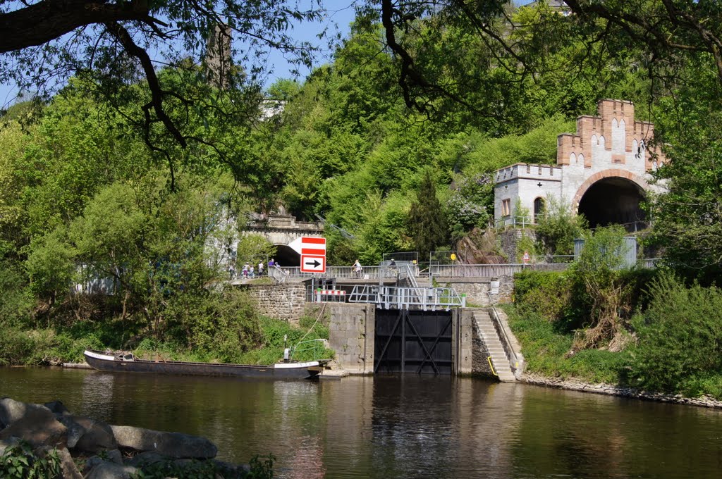
62.8 km – Weir. Power station left. Lock right.

The camino joins the river at Vilmar, and apart from a couple of short cuts follows the bank more closely now.

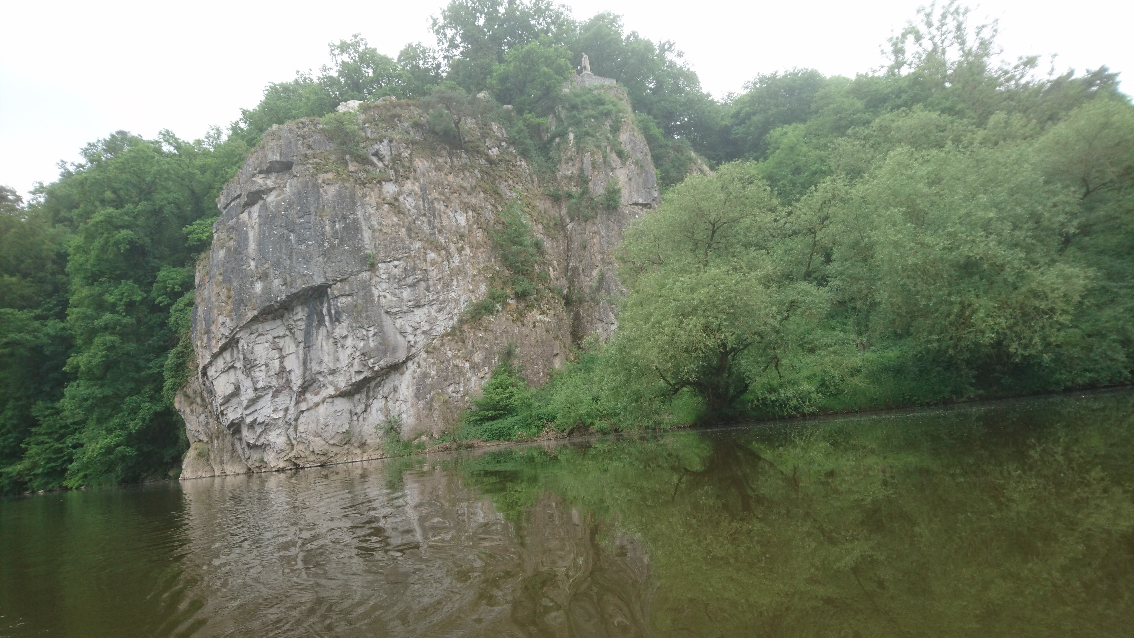
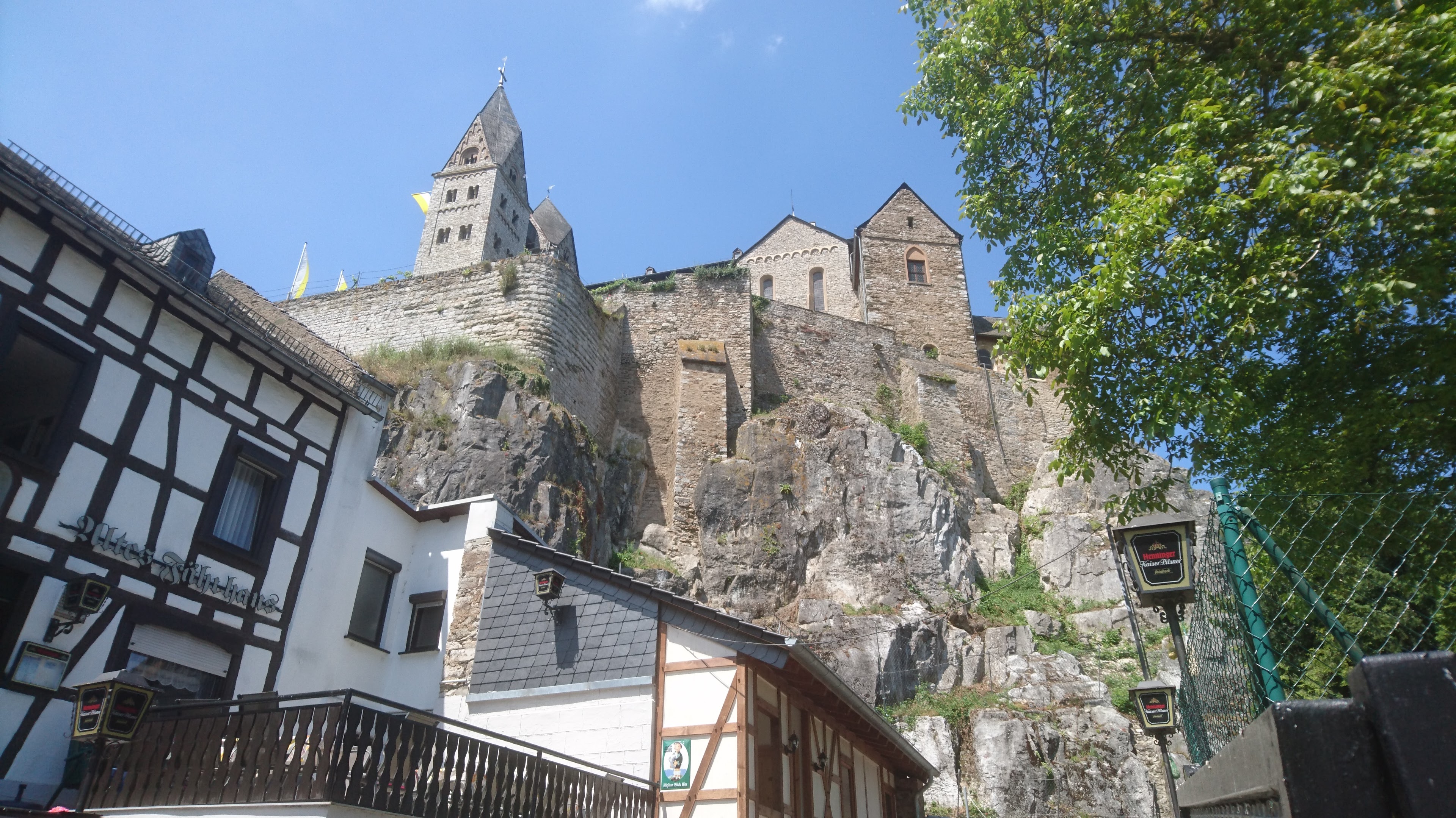
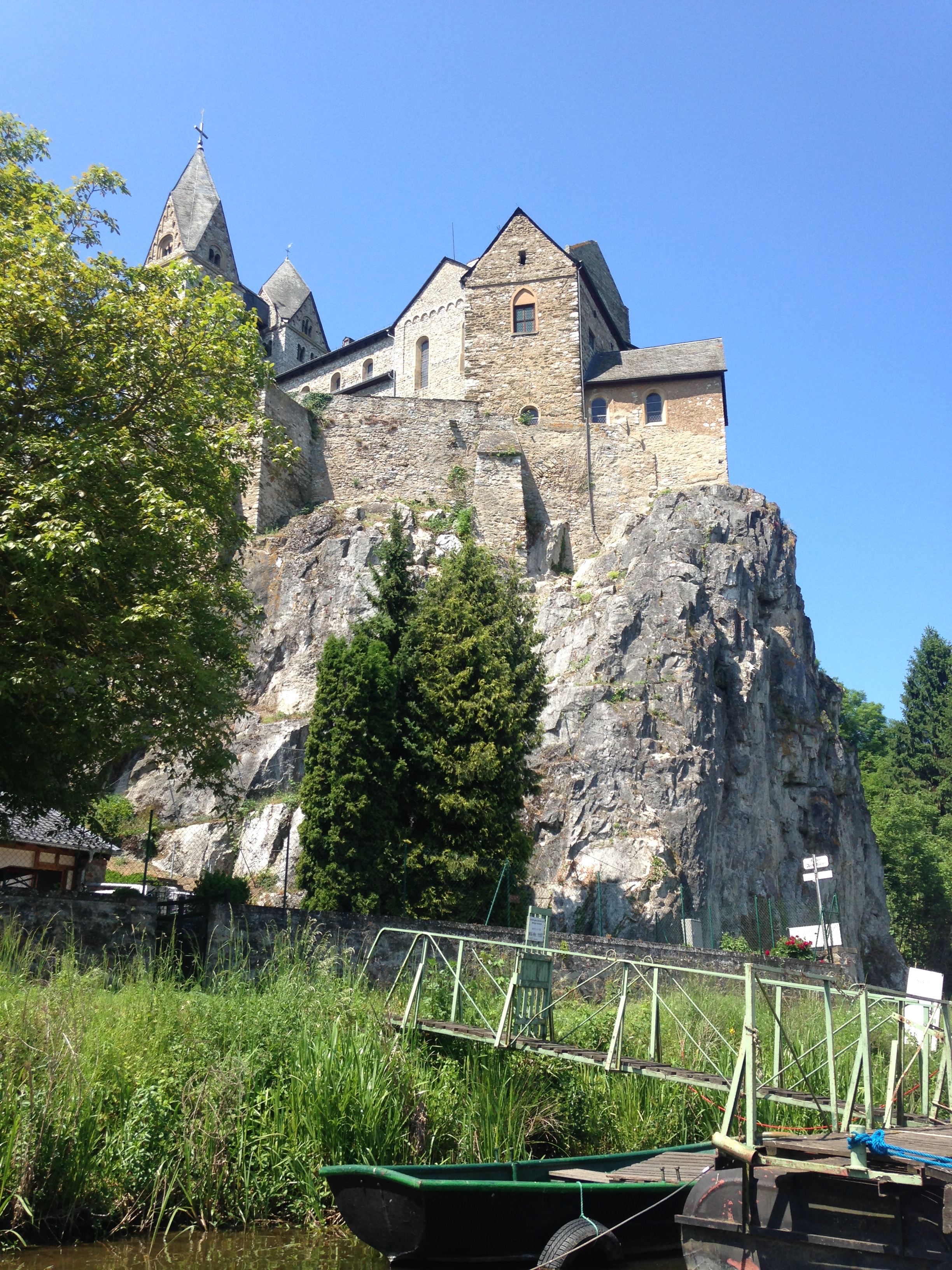
61.2 km – The precipitous limestone cliff left is topped by a stature of King Konrad 1st

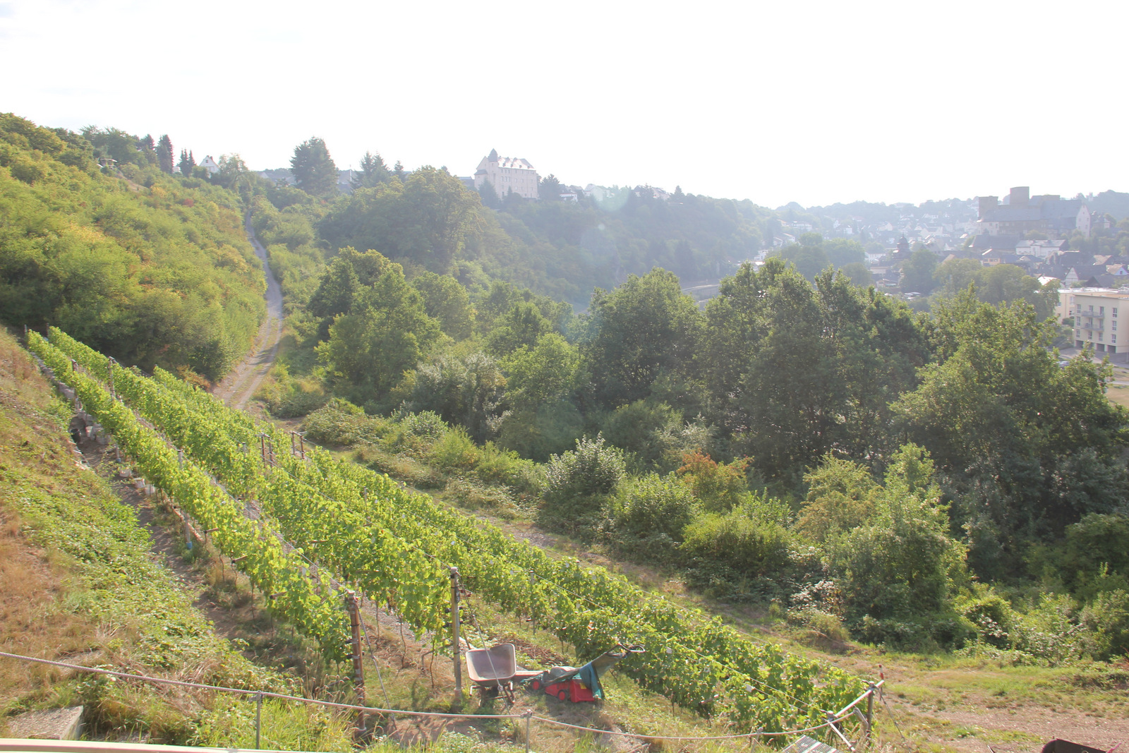
65 km – Runkel. Slipway right. Wine making in Runkel, which had gone on for many hundreds of years, ended in about 1930. Over the last few years a group of enthusiasts have attempted to revive it. They’ve planted a vineyard on the slopes directly opposite the campsite, and have produced a few vintages of Runkeler Roten or “Runkel Red”. More here. To be honest I couldn’t see the vineyard at all in 2016.

65.2 km – lock right. Weir left under Runkel bridge. The camino passes through Runkel


53.5 km – Camping left after the bridge (click here). A popular canoe hire start and finish point.


53.8 km – Steedener bridge

55 km – Railway bridge

59.2 km – L3448 bridge. Dehrn right. Marina right


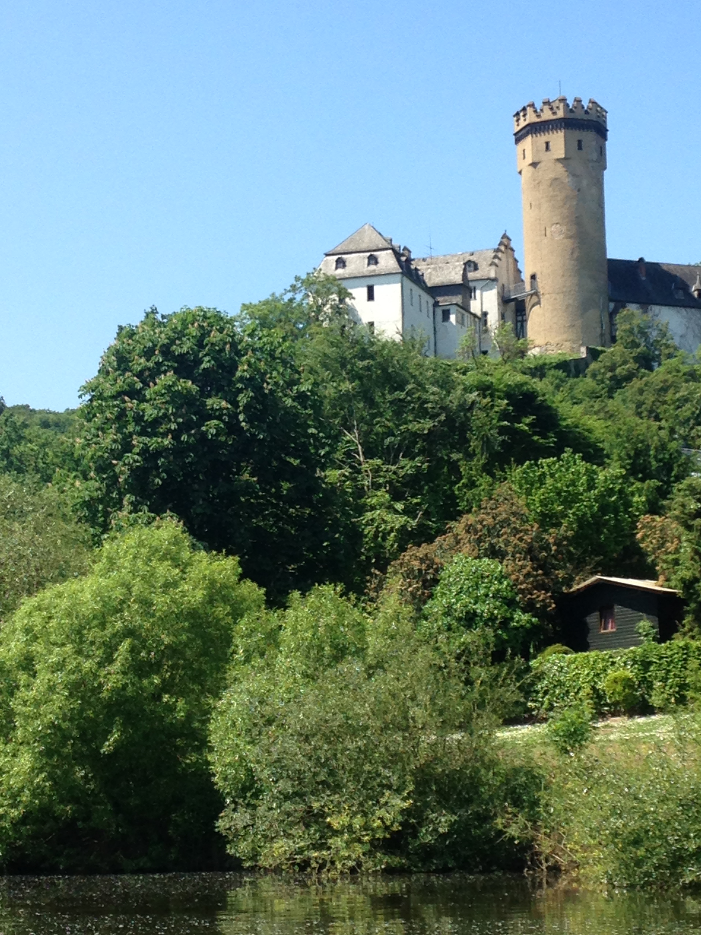
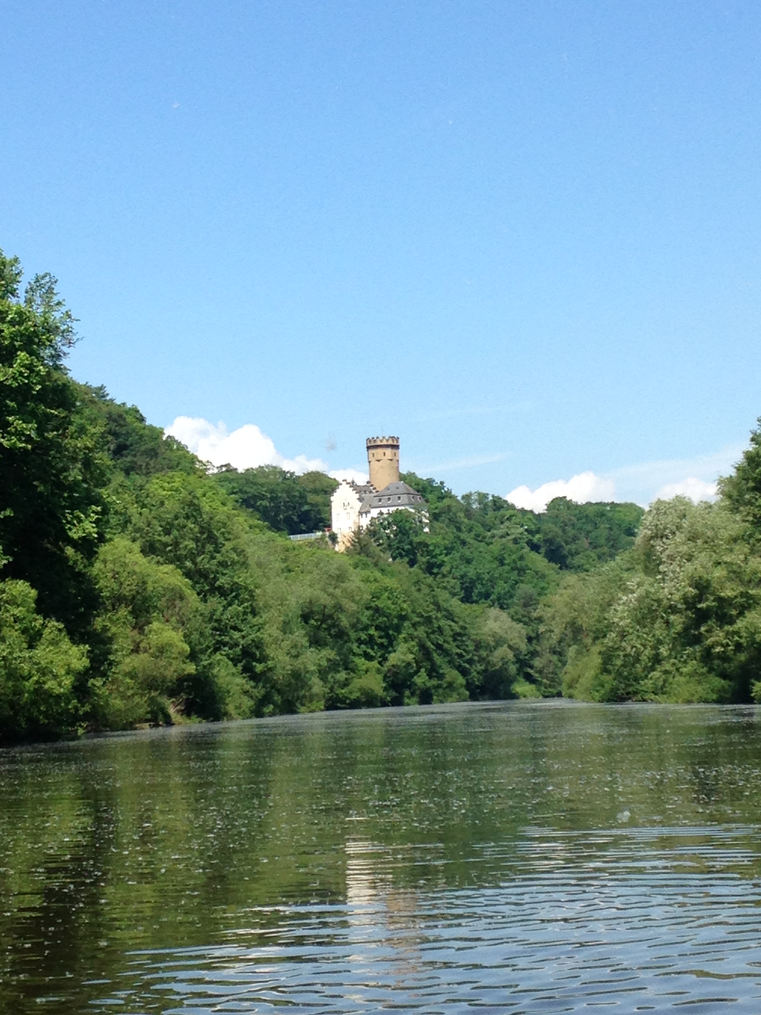
72 km – Burg Dehrn right
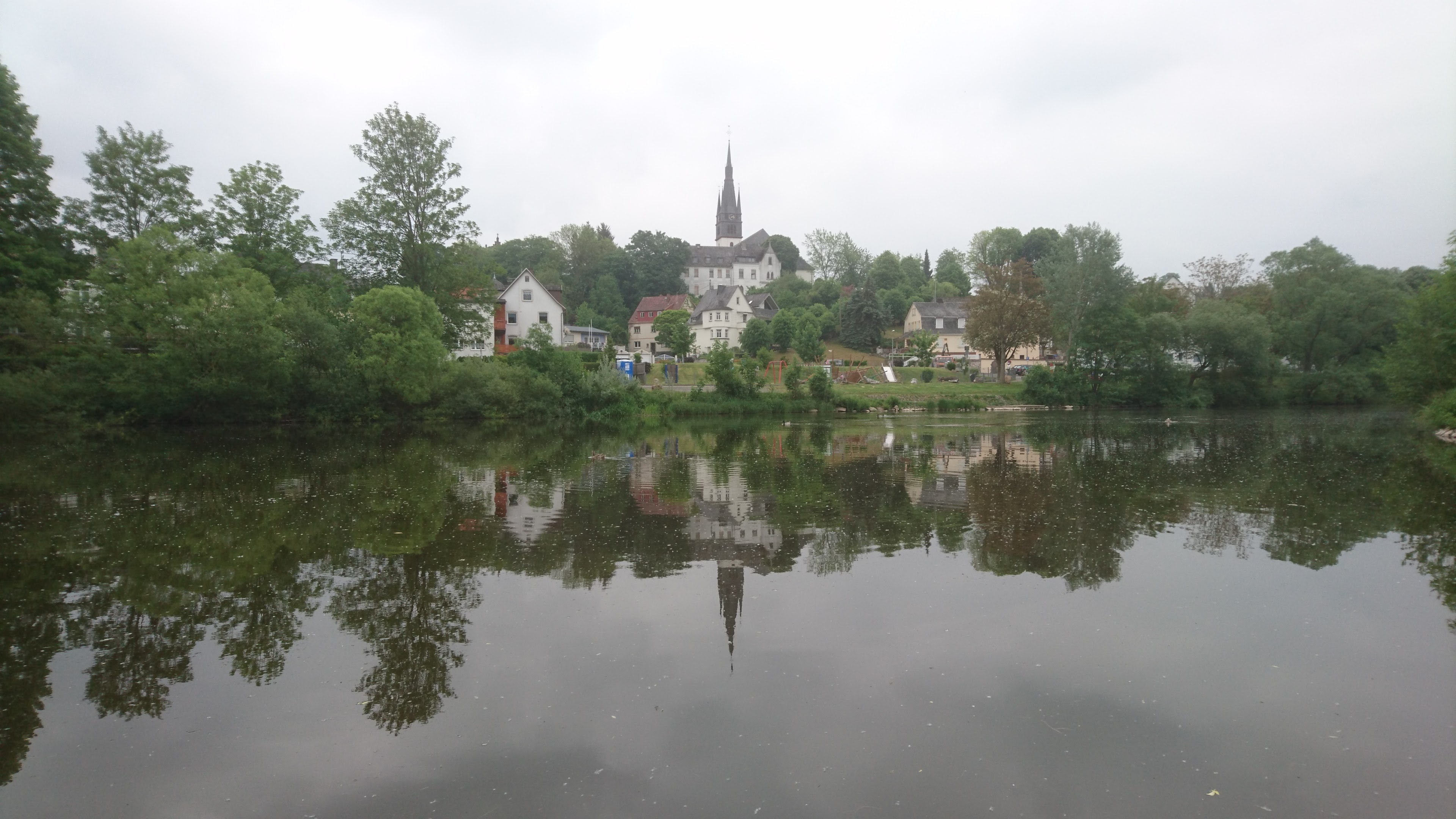
60.9 km – Kurt-van-der-Burg footbridge 1989. Dietkirchen, dominated by St Lubentius Basilica on the limestone cliff right. Site of a ferry since 11th century. The small vineyard on the southern slopes below the Basilica, planted in 1998 makes Dietkircher-Lubentius-Ley, a sacramental red wine.


61 km – Emsbach stream joins left. The site of an ancient ford.
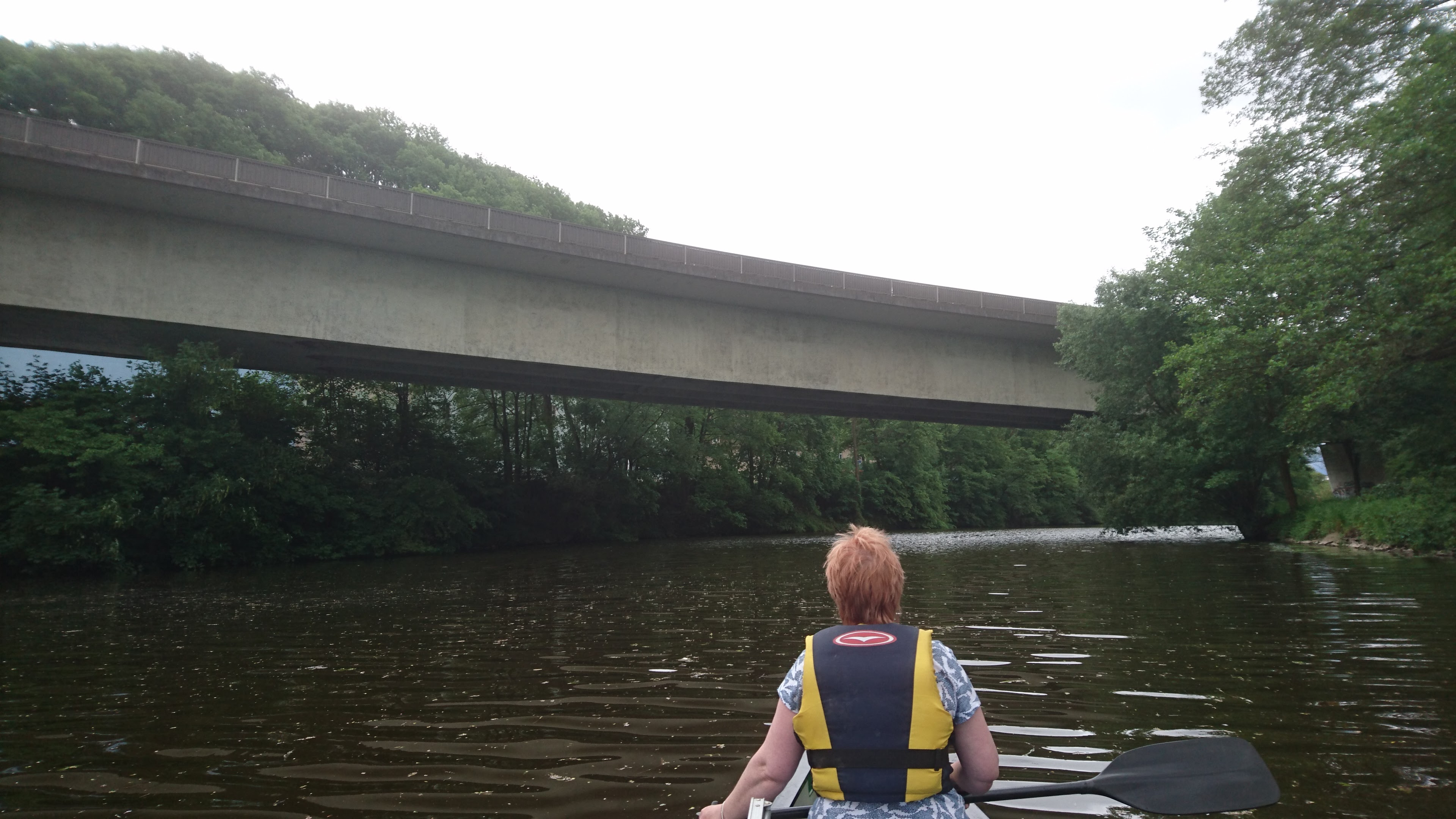
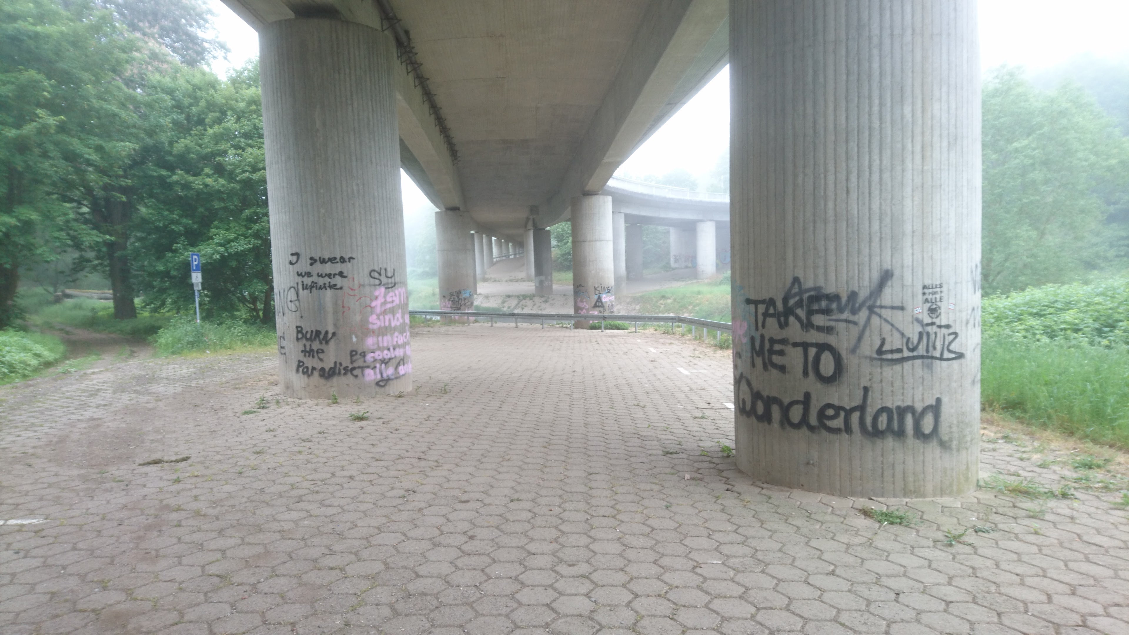
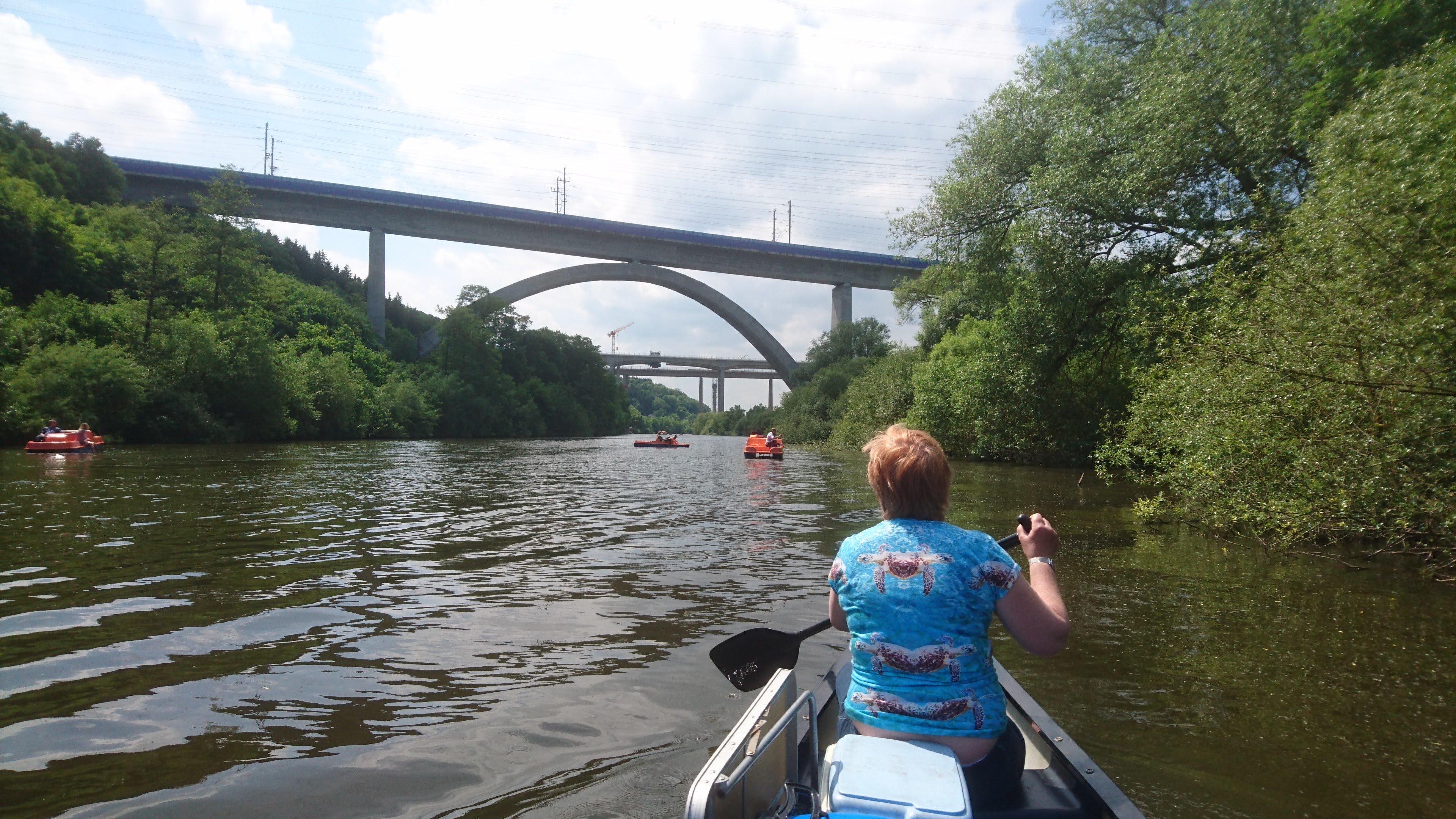
62.6 km – Intercity railway bridge followed by N3 motorway bridge, currently being widened.

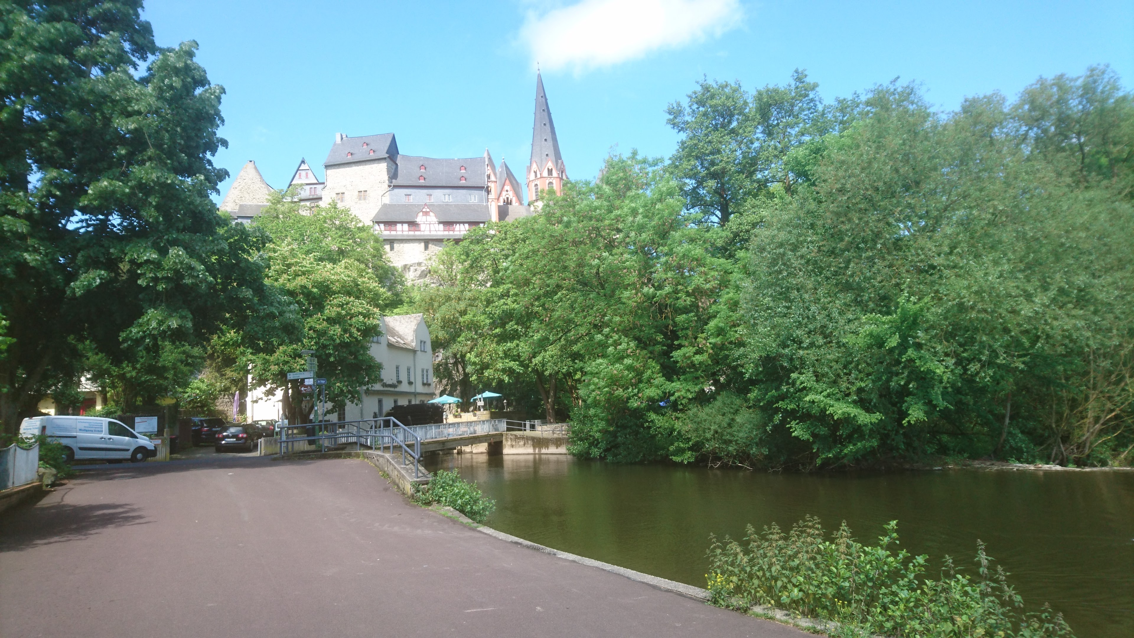
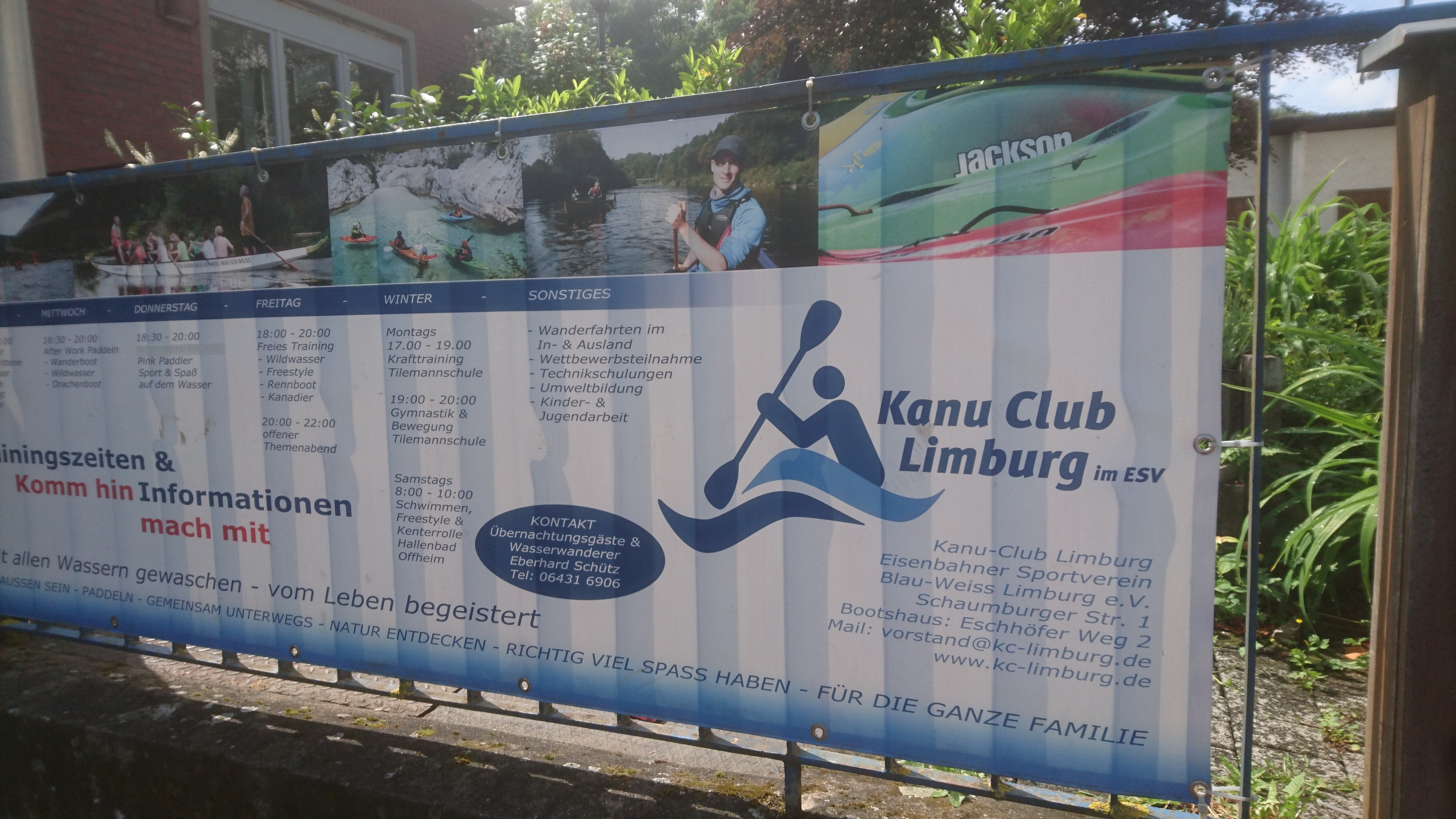
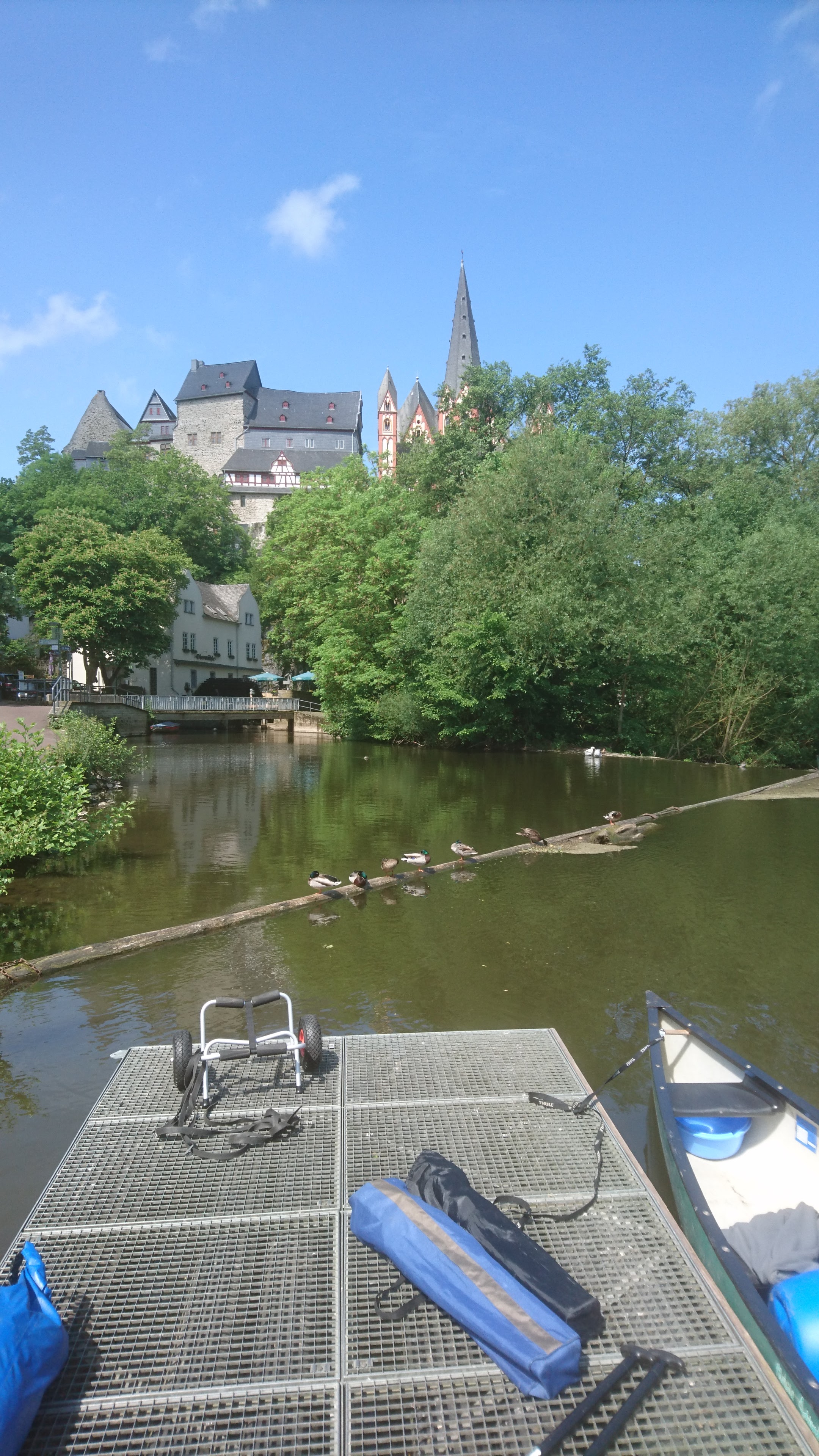
64.6 km – Limburg. Cathedral left. Camping right (click here). Alternatively keep left and by the no entry sign, left bank just above the weir, Limburg canoe club allow camping. Small site, best to ring ahead.
The camino which has been following the river on high ground to the south descends the hill in a zig zag and then goes straight up to the cathedral.
Keep right for lock channel. Left another set of two weirs in series. Followed by Limburg bridge


65 km – Limburg.
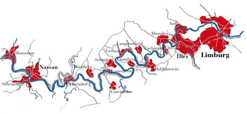
For Limburg to Lahnstein click here.
