River Main; from Bamberg to the Rhine
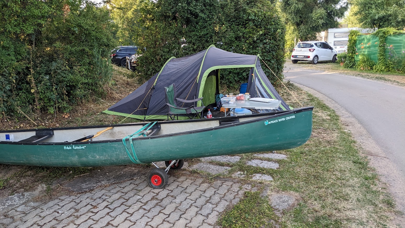
Flowing east to west for nearly 400 km, I’ve divided the Bamberg to Rhine section into four; Bamberg to Schweinfurt (brewery section), the triangle (Maindreieck), the rectangle (Mainviereck) and finally Frankfurt and the Rheingau. All distances in km from the Rhine junction (click here). There are plenty of official campsites, and although wild camping is verboten in Germany, many tempting spots. One local told me that the authorities turn a blind eye to a single night, but sometimes get forced to act by “busybody Bavarians” – his words! Another that the law defines “camping” as having a groundsheet under you. I was lucky with the weather, pulled up late and laid my bag directly on the ground. No-one complained.

1. Bamberg to Schweinfurt – the brewery section
The Main-Donau canal is not recommended. Although Bamberg is the obvious start, and camping Insel (click here) a lovely site on the Regnitz, about 5 km upstream of the junction, there’s no easy route through Bamberg. The Regnitz right fork, leading to the Main-Donau canal, with little flow in summer, is blocked by a barrage, albeit a possible portage.
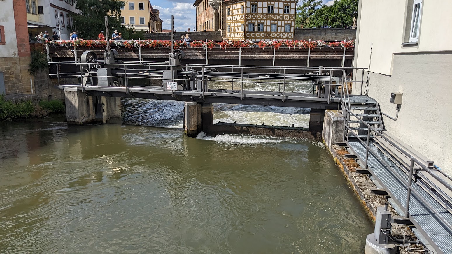
The left fork through the hydroelectric power plant in the centre of the Old Town is scenic, but… .

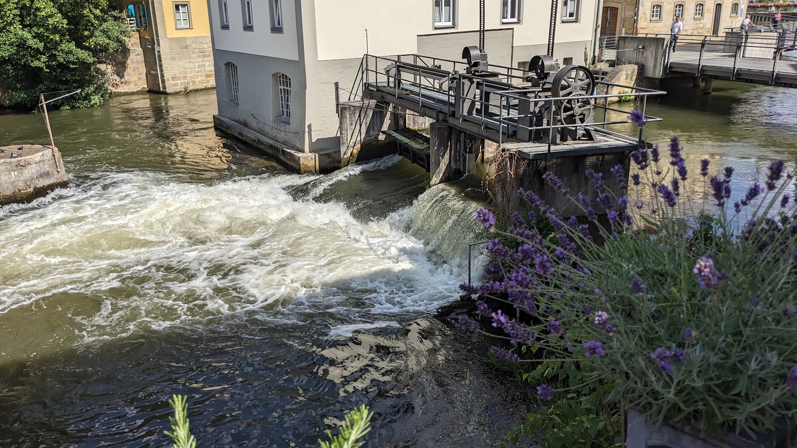
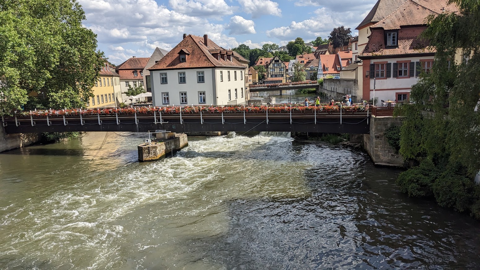


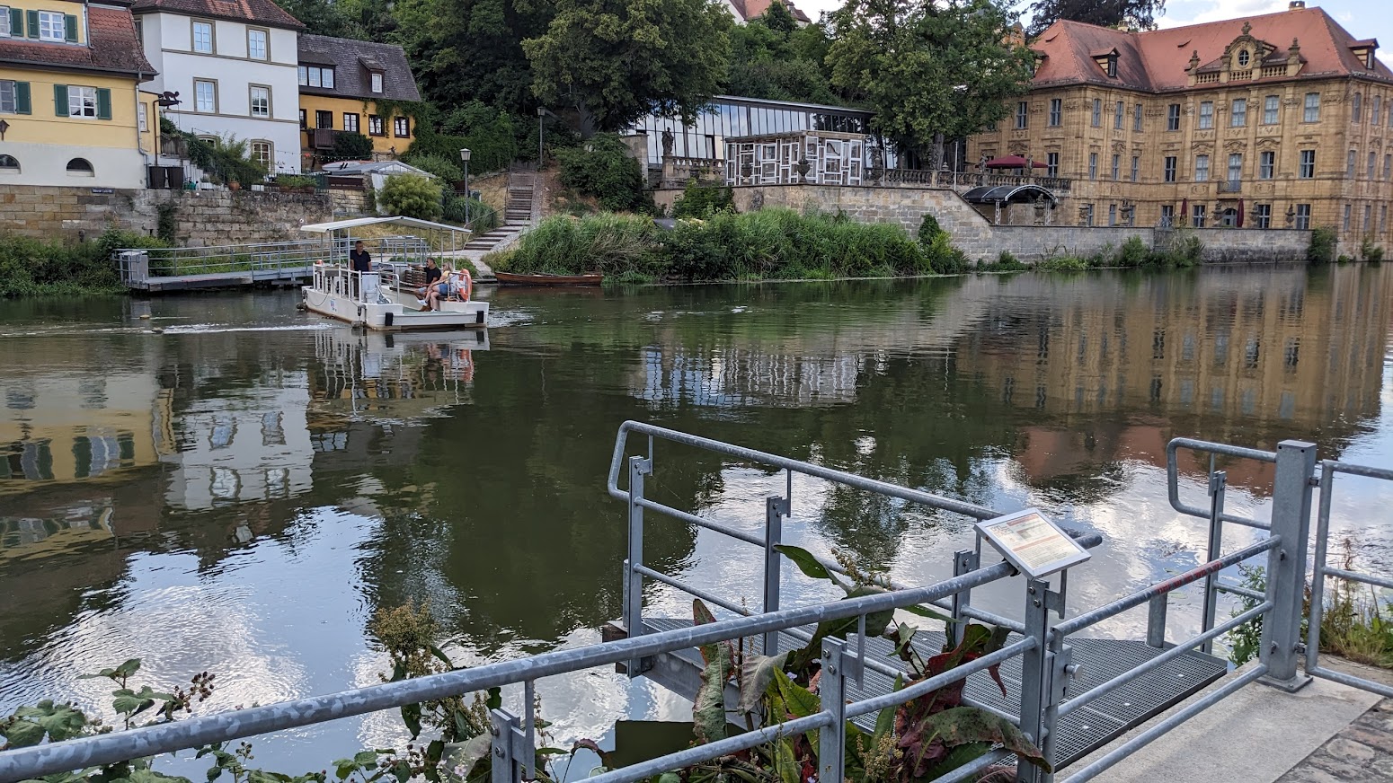
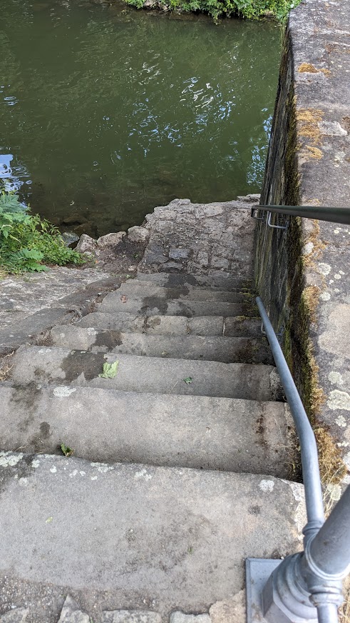
Bamberg old lock is not functioning, but could be portaged via the ferry landing,

The real problem is 6km downstream at Viereth. No sport boat lock and no access. The least bad option would be to land right above the motorboat club and portage nearly a kilometre round the old river loop. Not for me.

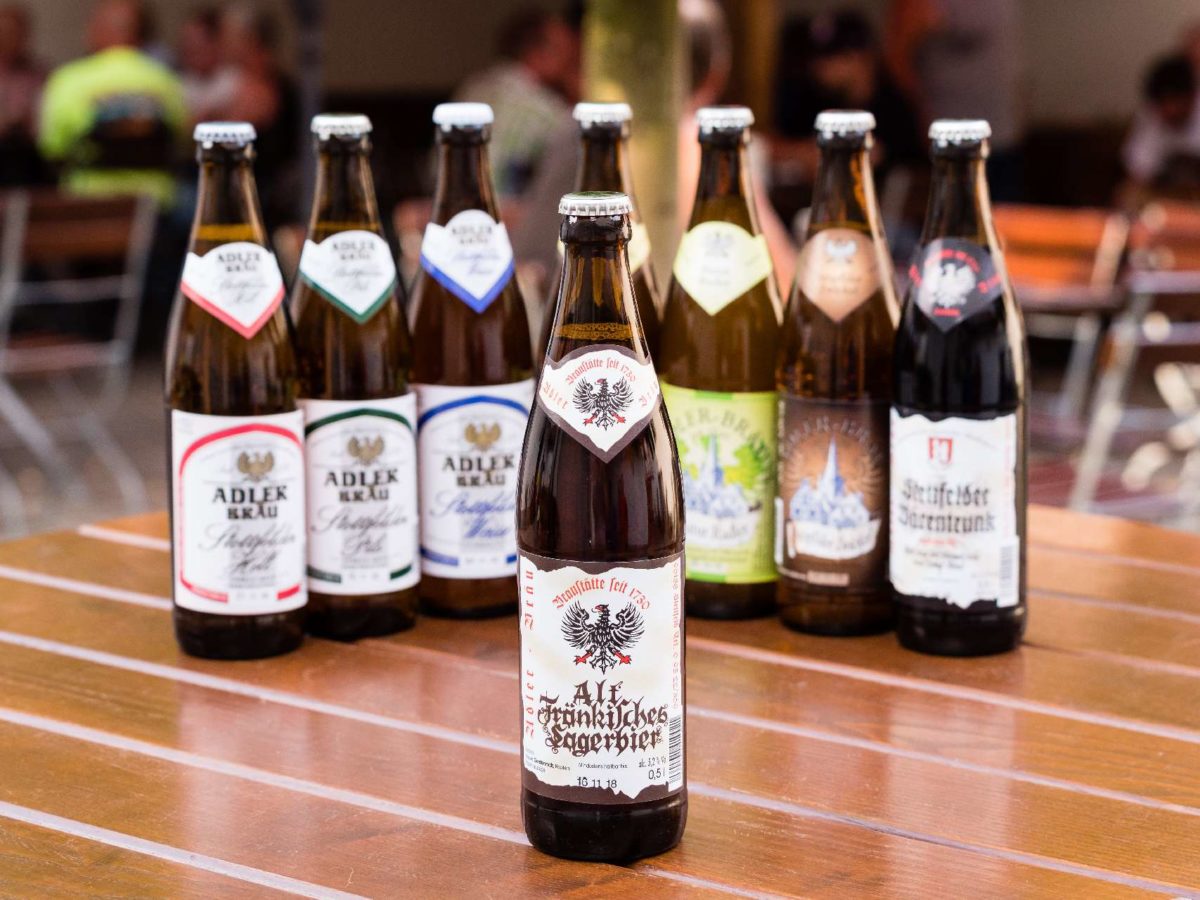
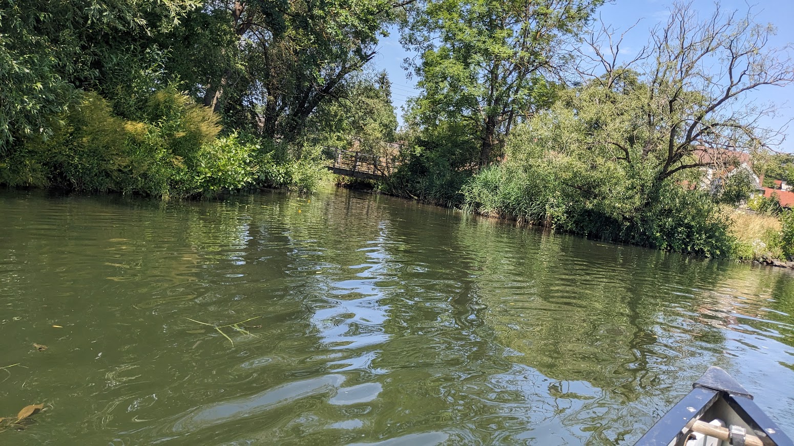
Fortunately all other weirs have a sport boat lock, or an easy portage, or both, so I started below Viereth. This upper section is famous for its beer brewing. There are allegedly five breweries in Bamburg alone (click here), and even the smallest town downstream usually has its own.
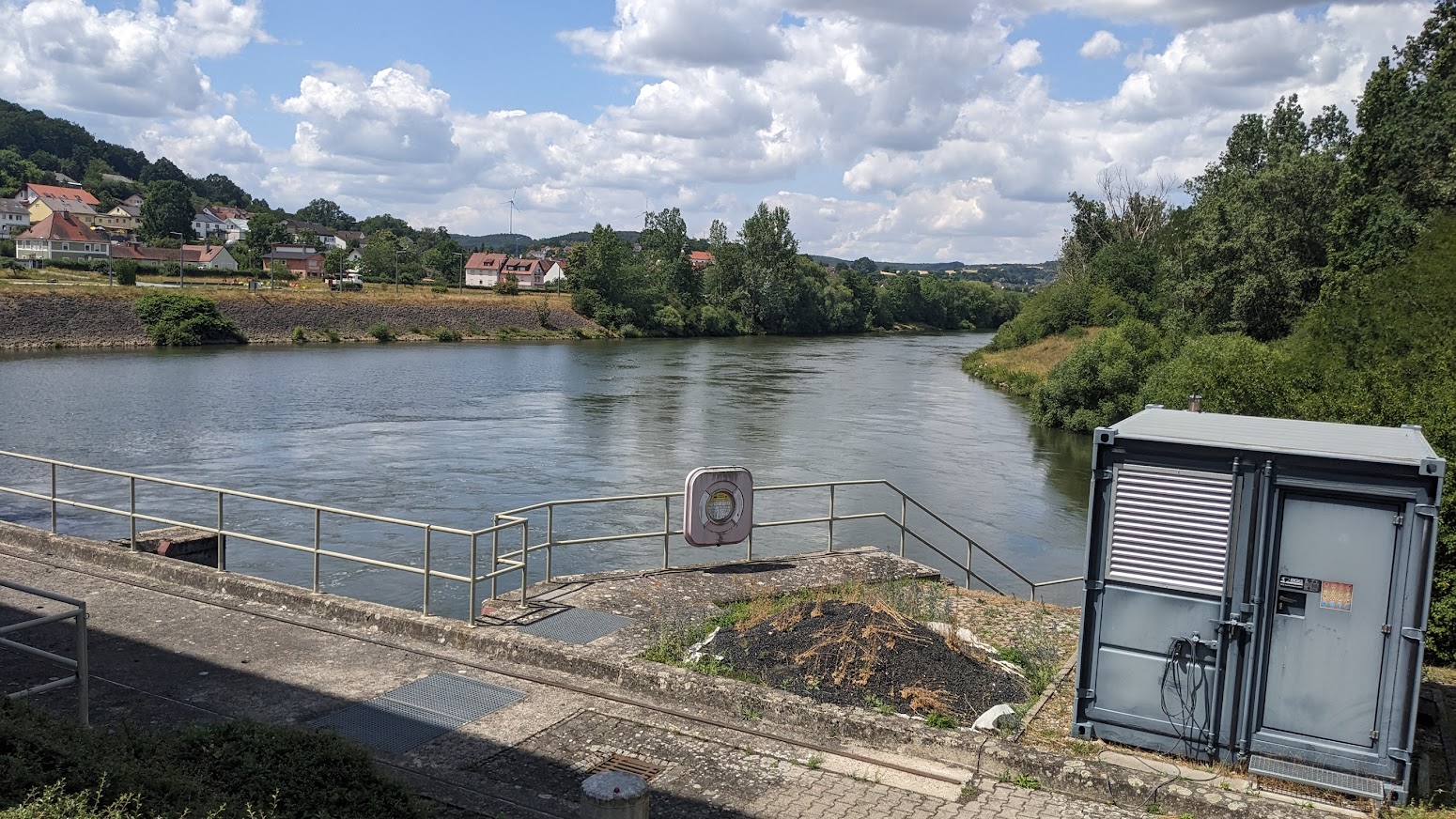
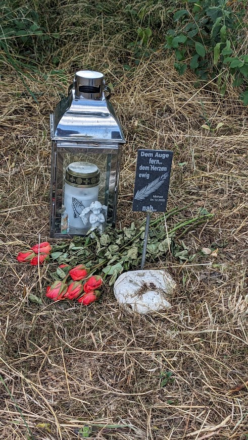
380.5 km -Viereth lock. Depth 6m. Hydroelectric power station right. 6MW. Launch right bank upstream of the S12262 bridge. Viereth left. Memorial to Michael translates roughly as “Far from the eye… Forever in the heart.”


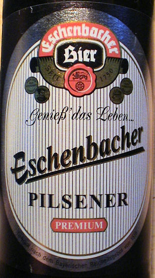
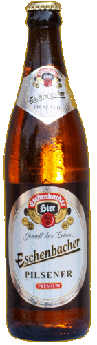
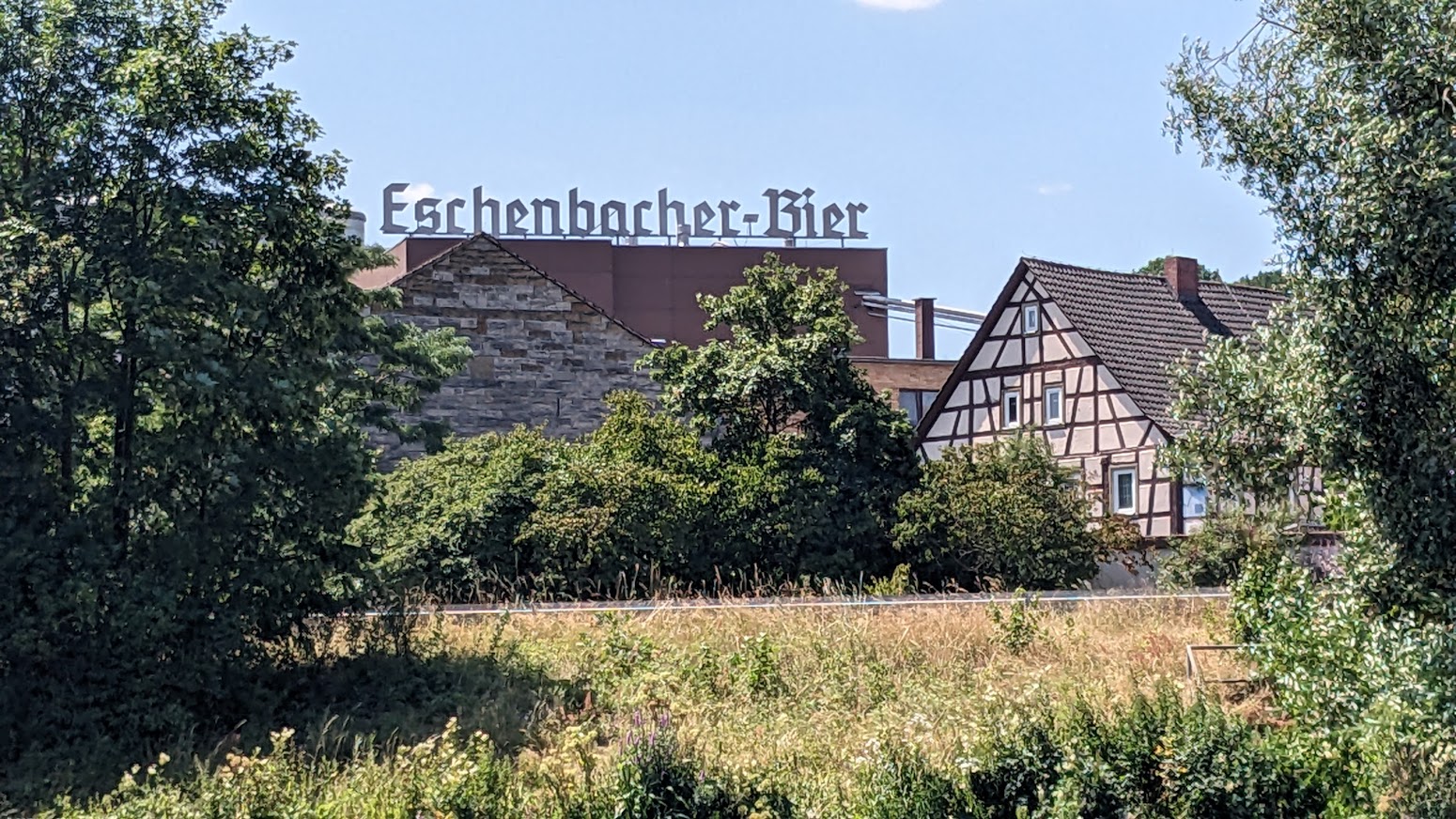
371 km – Eschenbach left. Home to the Eschenbach brewery (click here).
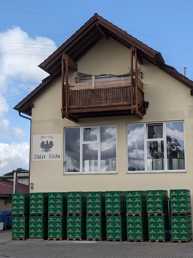
Stettfeld, on the opposite bank, albeit not easily accessible behind gravel pits and the E48 motorway, has the tiny Adler-Brau brewery and bar (click here).
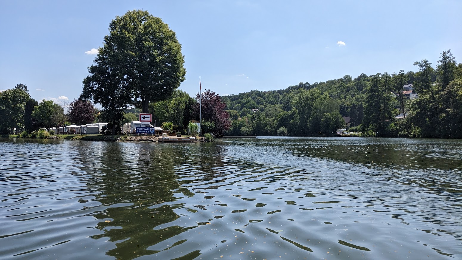
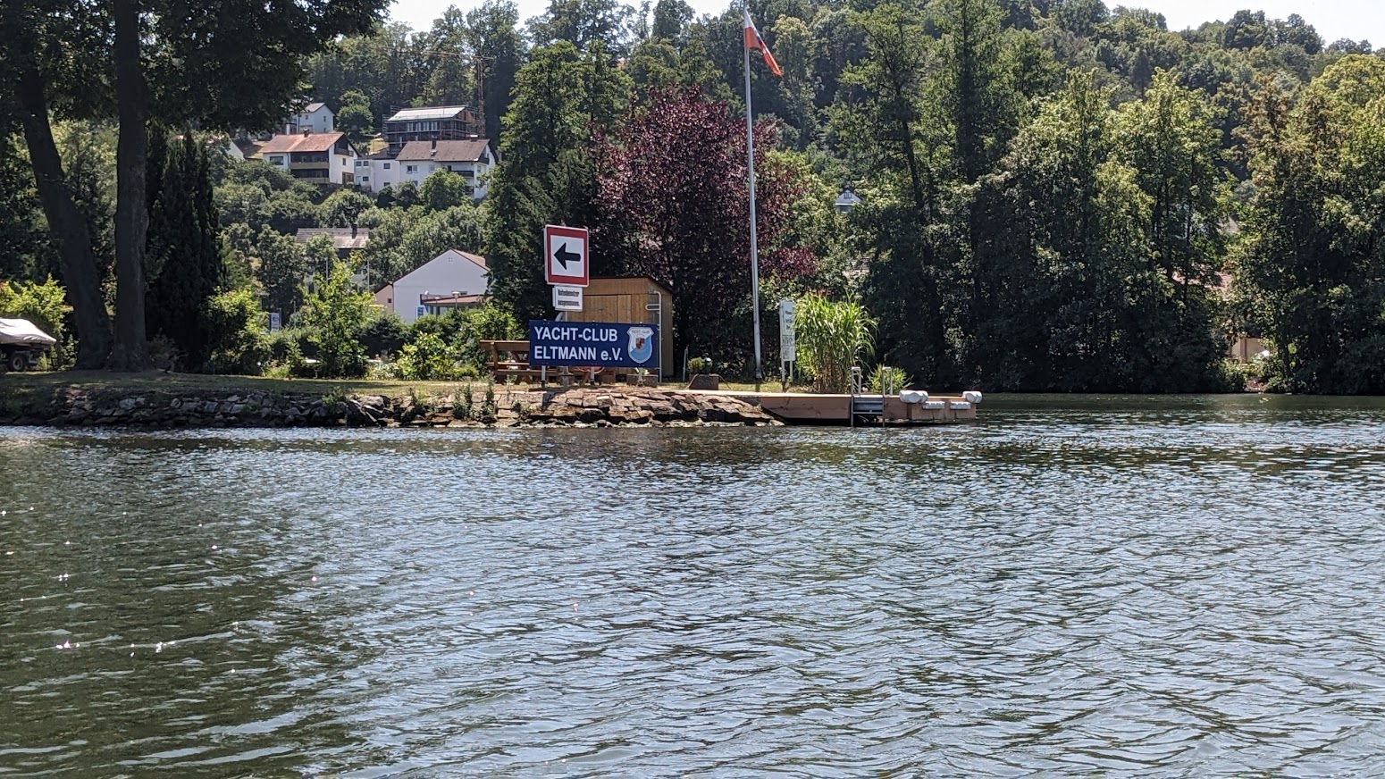
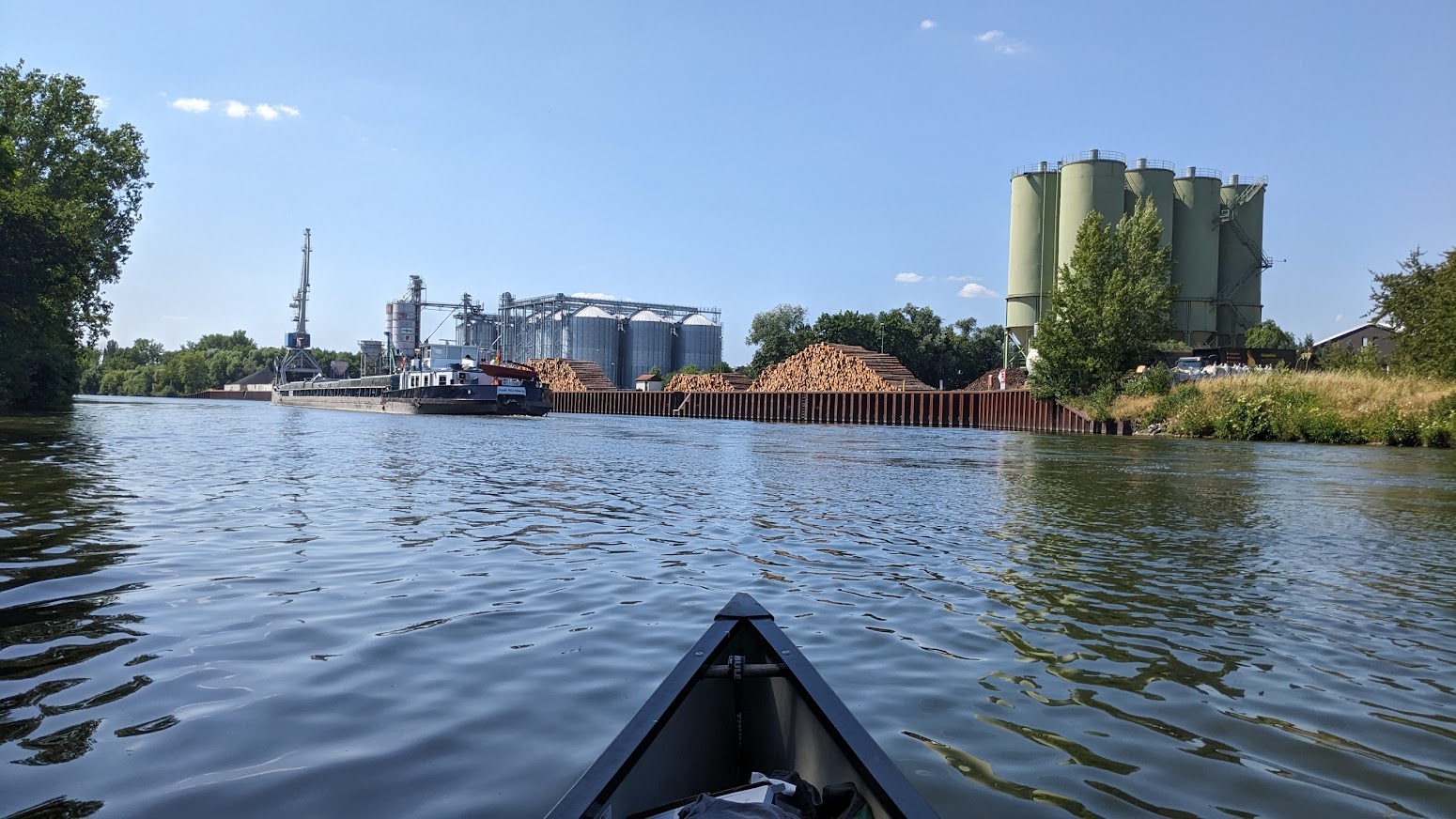
369 km – B26 bridge. Motor boat club, marina, and campsite left 100m before the bridge. Eltmann left. Ebelsbach right. Eltmann’s brewery is Franz Engel. No website but they host a beer festival in July. The Laurenz Krug brewery in Ebelsbach ceased operations in 1991; even Germany has experienced some consolidation. Looks like there was a ferry once.

367.5 km – A70 bridge Followed by 367 km – Limbach lock. Limbach left. Volland brewery closed in 1971. The sport boat lock to the right of the island opens into the original river meander.

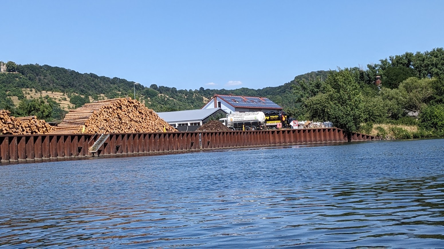
363.5 km – Sanderstrasse bridge. Sand left. Zeil, followed by Zeil wharf, right.
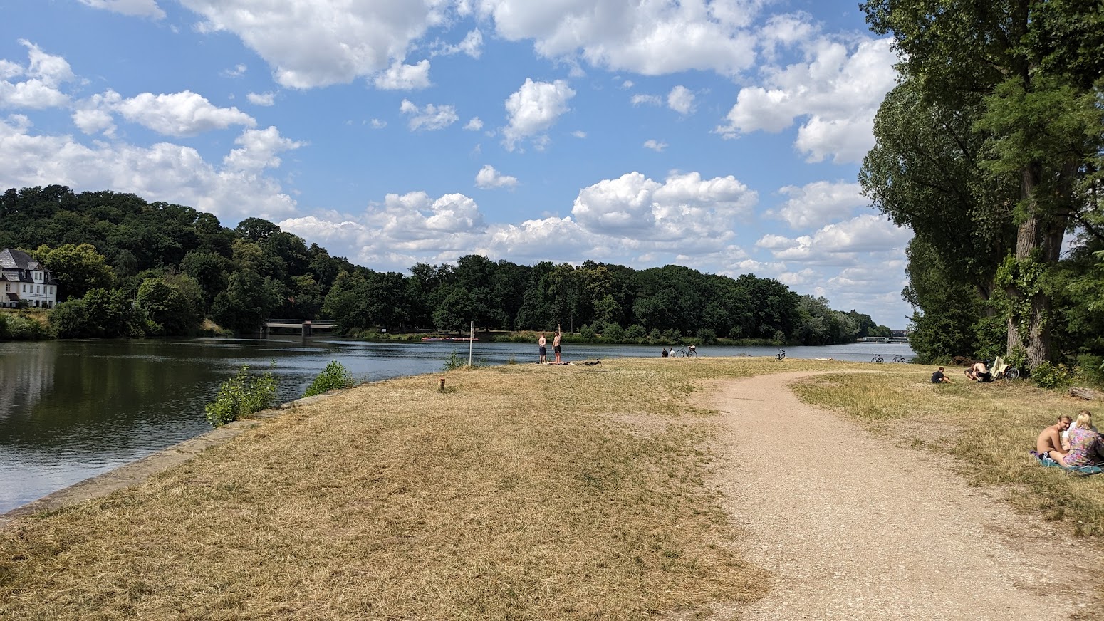
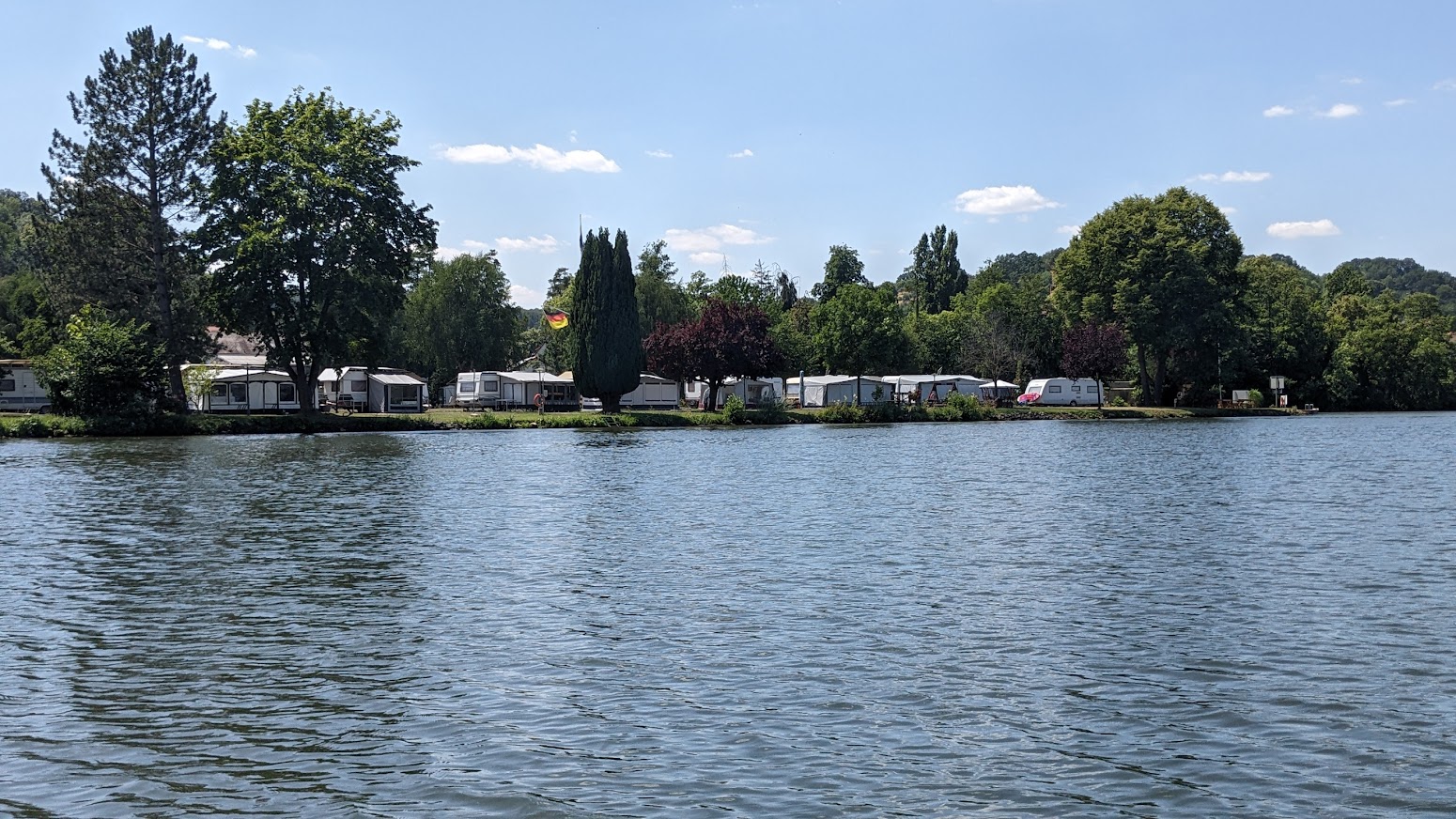
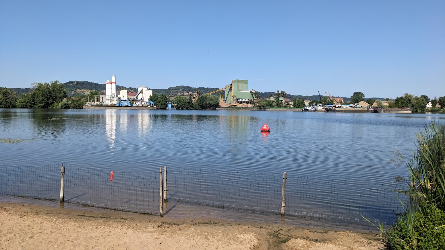
0.5 km after the bridge enter the lake via a gap in left bank. The arrow on the sign is ambiguous, but this is the route to Camping am See (click here) at the far end of the lake. Lakeside pitches are reserved for long stay visitors. Overnighters camp near the reception office, 120 metres up the road. There also appear to be plenty of wild camping spots nearer the river.


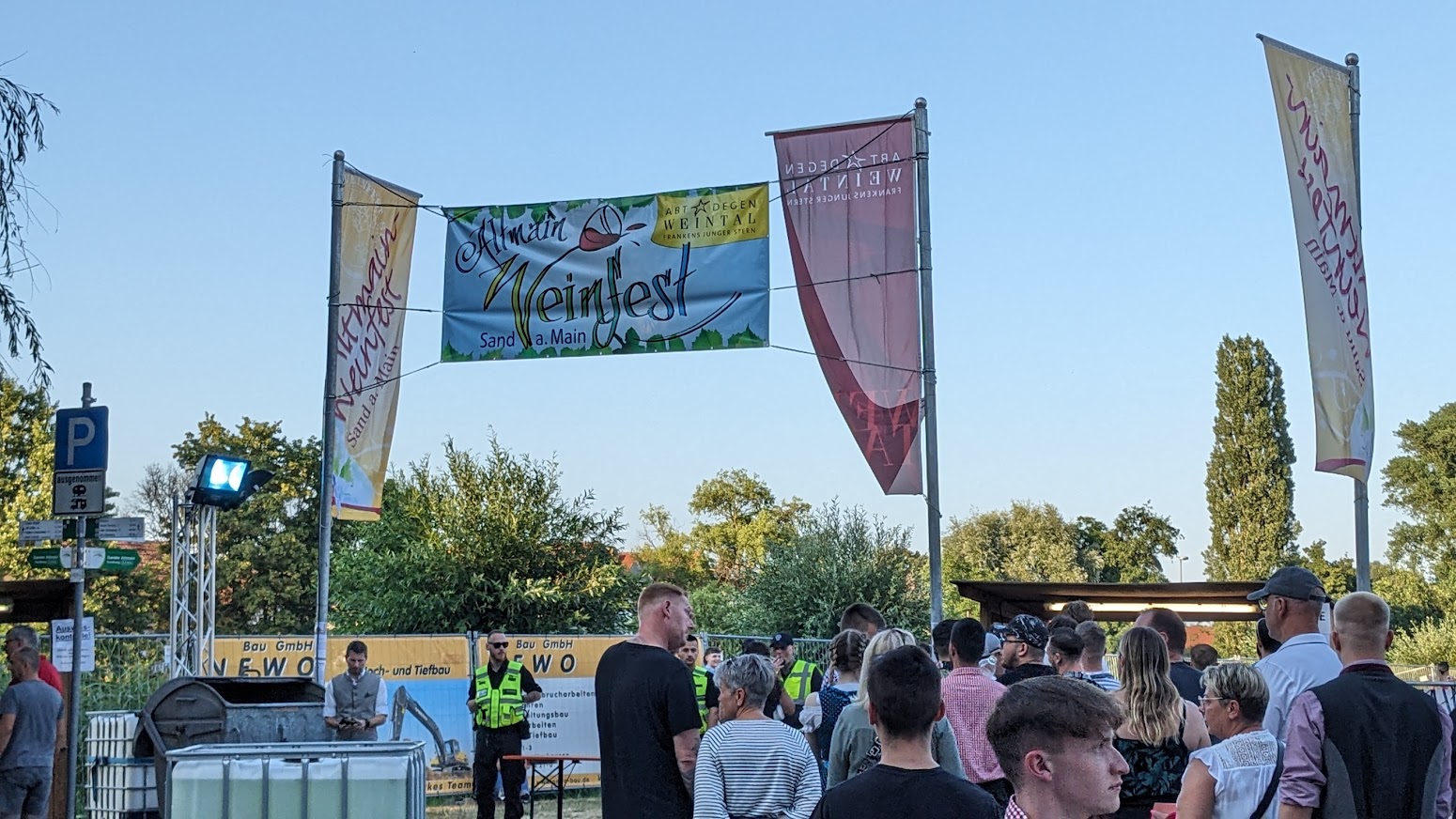
We are now at the absolute limits of the Franken wine region. The Sander Kronberg vineyard lies in woodland south of the town, well away from the river. Grapes have been grown in Zeil for a thousand years and today there are still a few small vineyards on the south facing “Ziegelander” slopes behind the town. There are also three wineries in Zeil, Martins Klause (click here), Nusslein (click here) and Dr Heigel (click here). Three or four in Sand, Bernhard Rippstein (click here), Thomas Schutz (click here). The day I visited there was a Weinfest, although it looked more like a music festival with crowds, queues and bands.
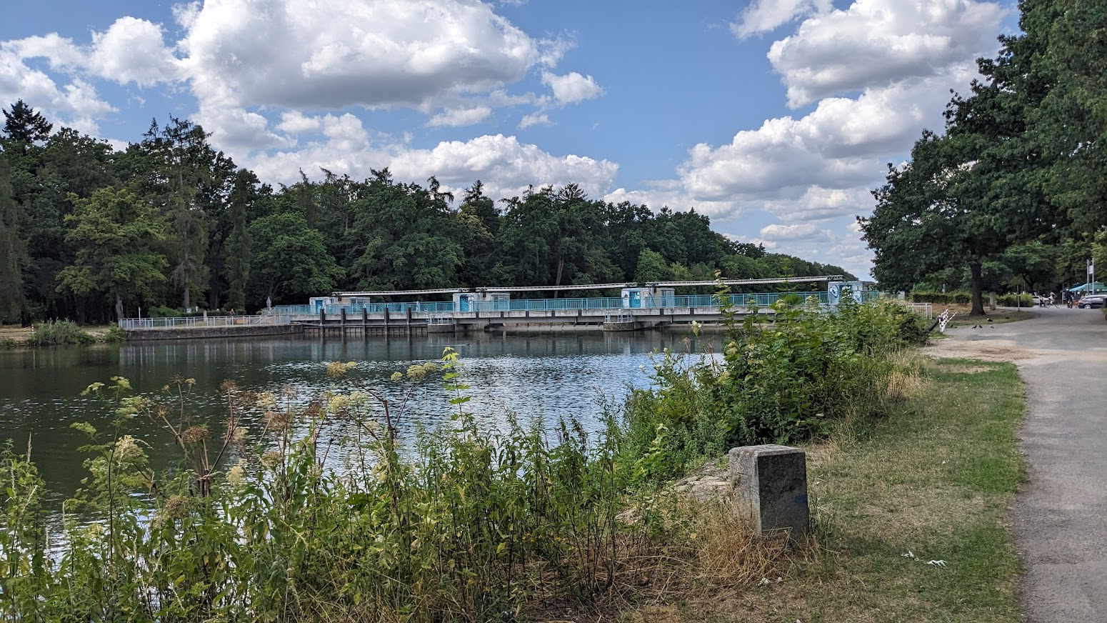
361.5 km – ST2427 bridge, followed by 360 km – Knetzgau lock right. 4.24 M deep. Hydroelectric power station left 2.9MW.
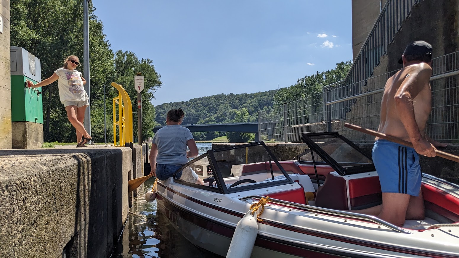
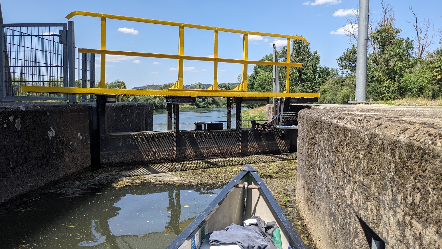
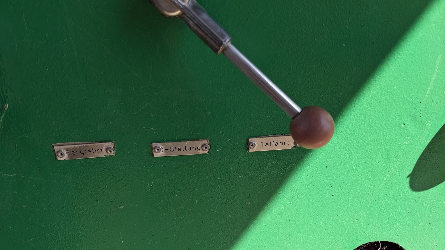
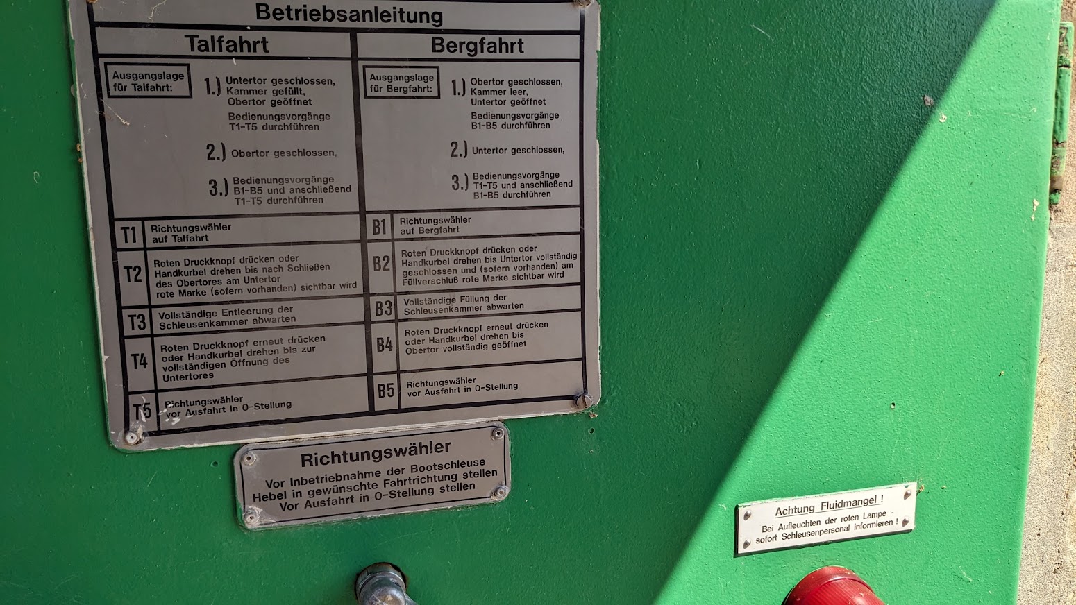
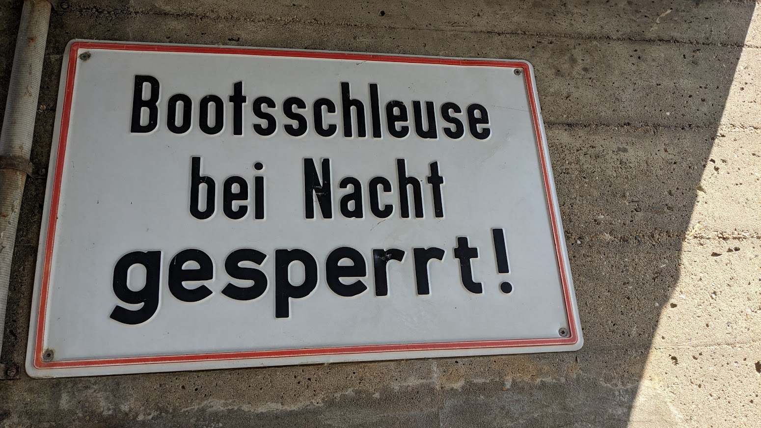
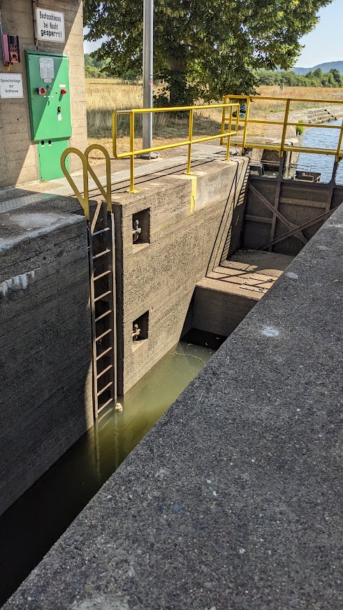
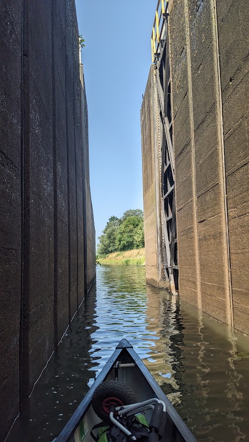
Lock operation is easy. Talfarht means downstream and Bergfarht upstream. Push the handle to the direction you want the lock to work and press the big button. For safety the big button has to be held down to work the gates. And unnervingly, for those like me who are unsure that they’ve got everything right, there is often a substantial delay before the gate starts moving. If you’re working the lock singlehanded, you’ll need to sit in the canoe while the lock empties, tie it up, climb up the ladder to open the lower gate, and finally climb back down to paddle off. Scary the first time.
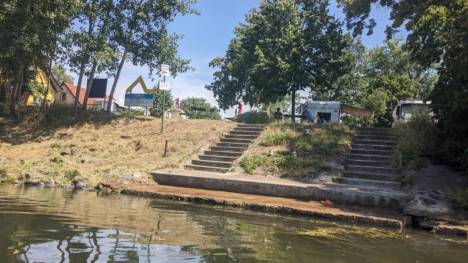
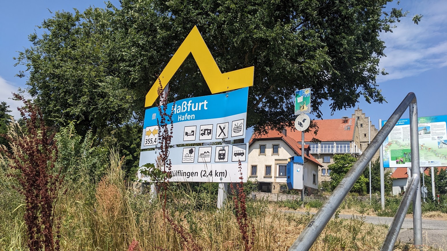
356 km – Camping right bank at Hassfurt (click here). Or land at Hassfurth harbour, followed by 355 km – Hassfurt bridge. The Hassfurt Henneberg vineyard is in the village of Prappach a couple of km to the north east. See Weingut Eller (click here).
354 km – Nassach stream joins right.
349 km – Obertheres motor boat club right. Overnight camping (click here) on the cycle path. Excellent spot. Obertheres right. Followed by 348 km – St2426 bridge
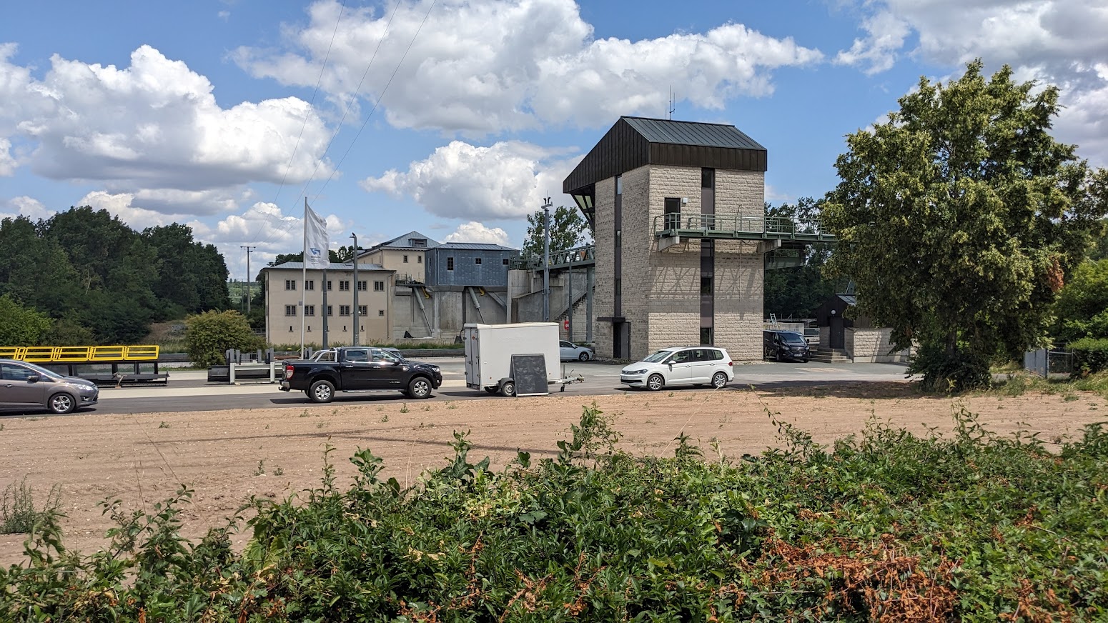
345 km 345 km – Ottendorf lock right. 7.6M deep. Hydroelectic power station left 6.5 MW


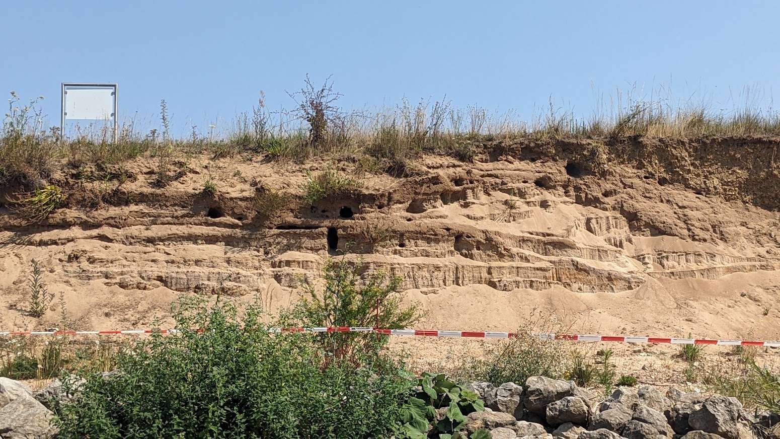
344 km – footbridge. Untereuerheim left. Gadheim right. Swallows nesting in the sandbanks


342 km – B303 bridge
338 km – Ferry site, or ford, or Nato ramp. Lidl right. 337 km – Schonungen right. Steinach stream enters right.
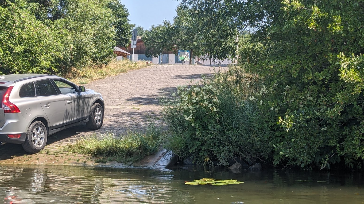
335 km Google maps mark Kanu Anlegestelle Mainberg in front of Schloss Mainberg. A good launch spot, but too busy for a wild camp.

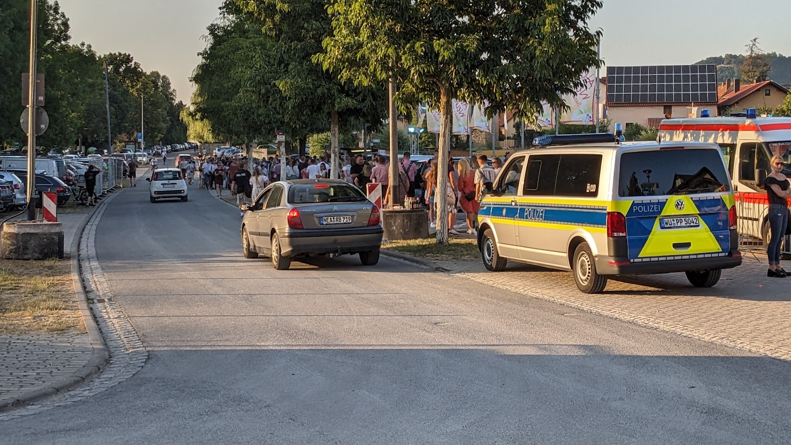
No campsite in Schweinfurt. I bivouacked by one of the distance markers, a few hundred metres before the town.
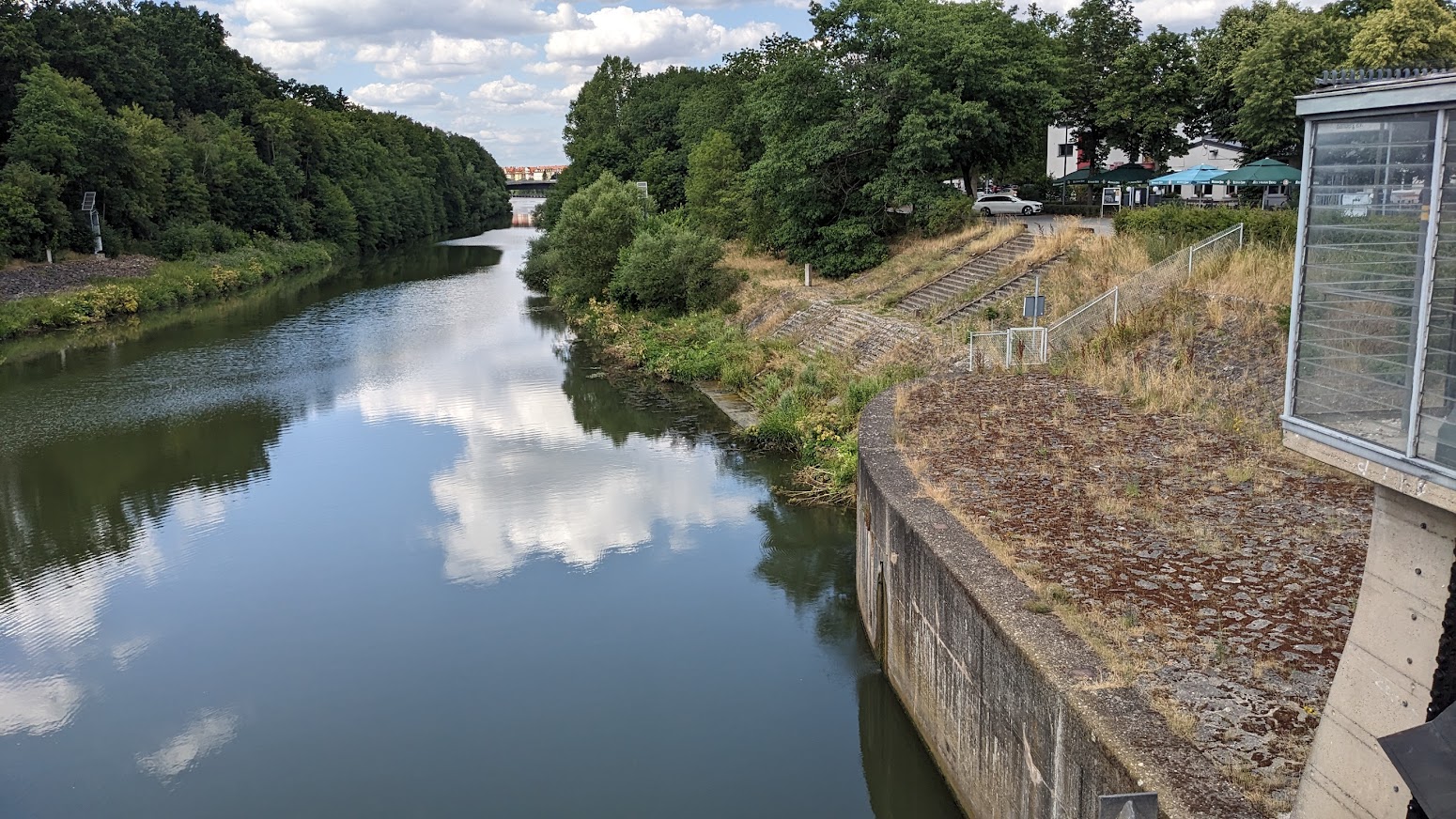
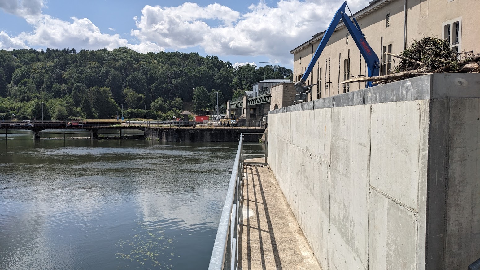
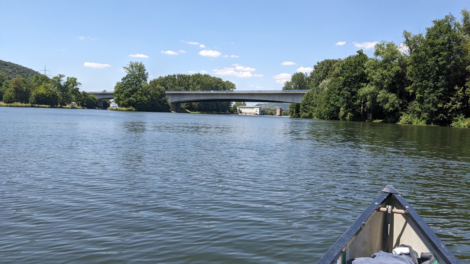
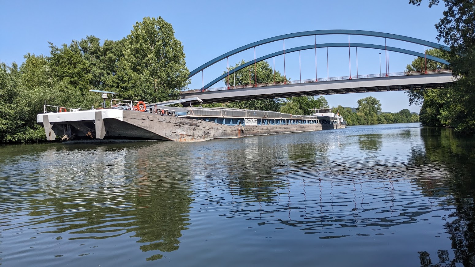
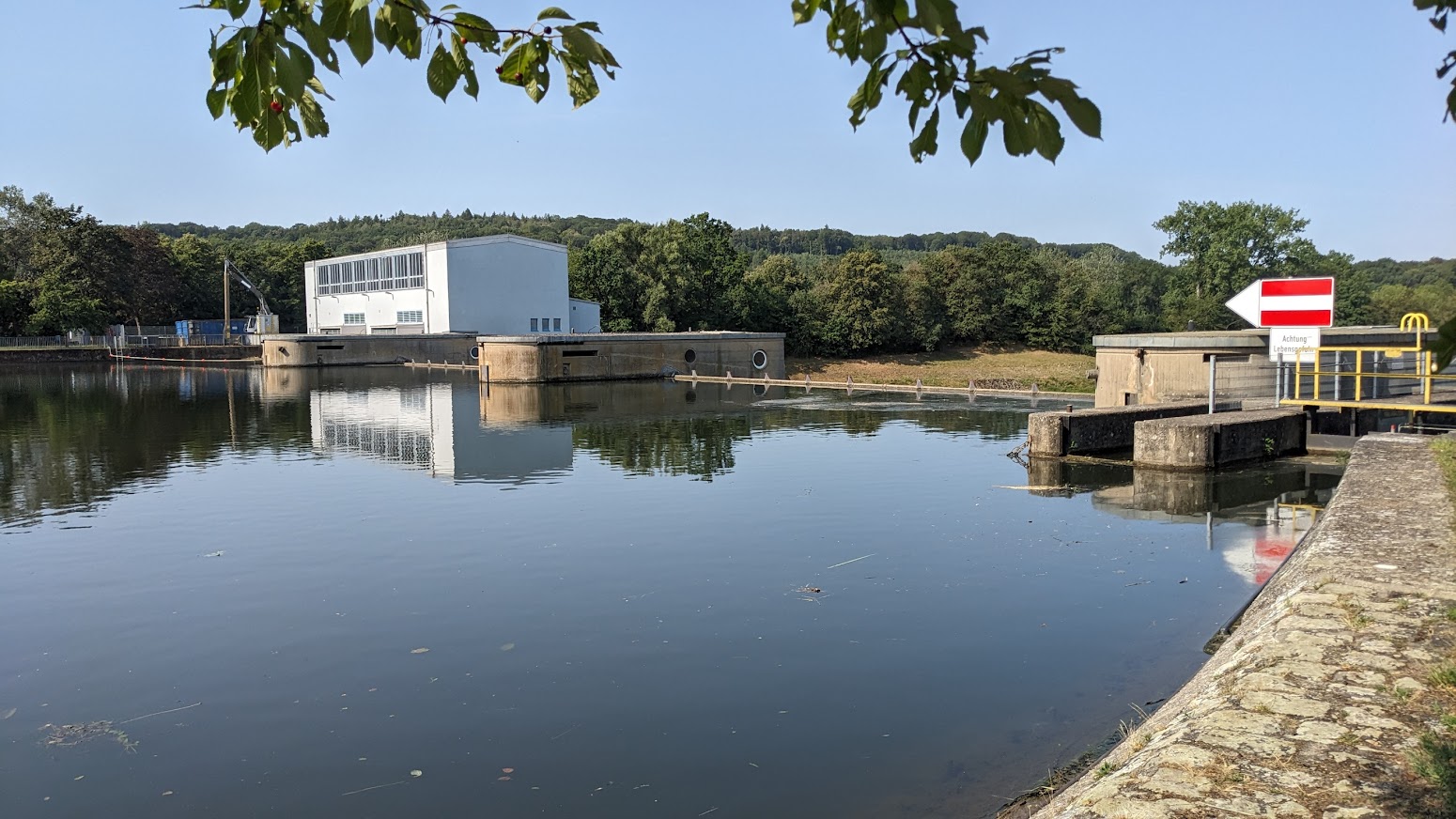
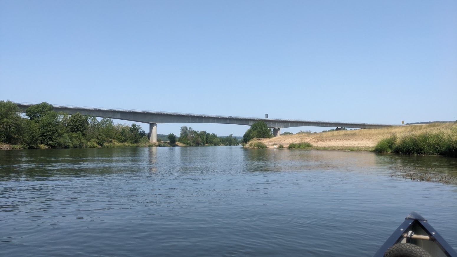
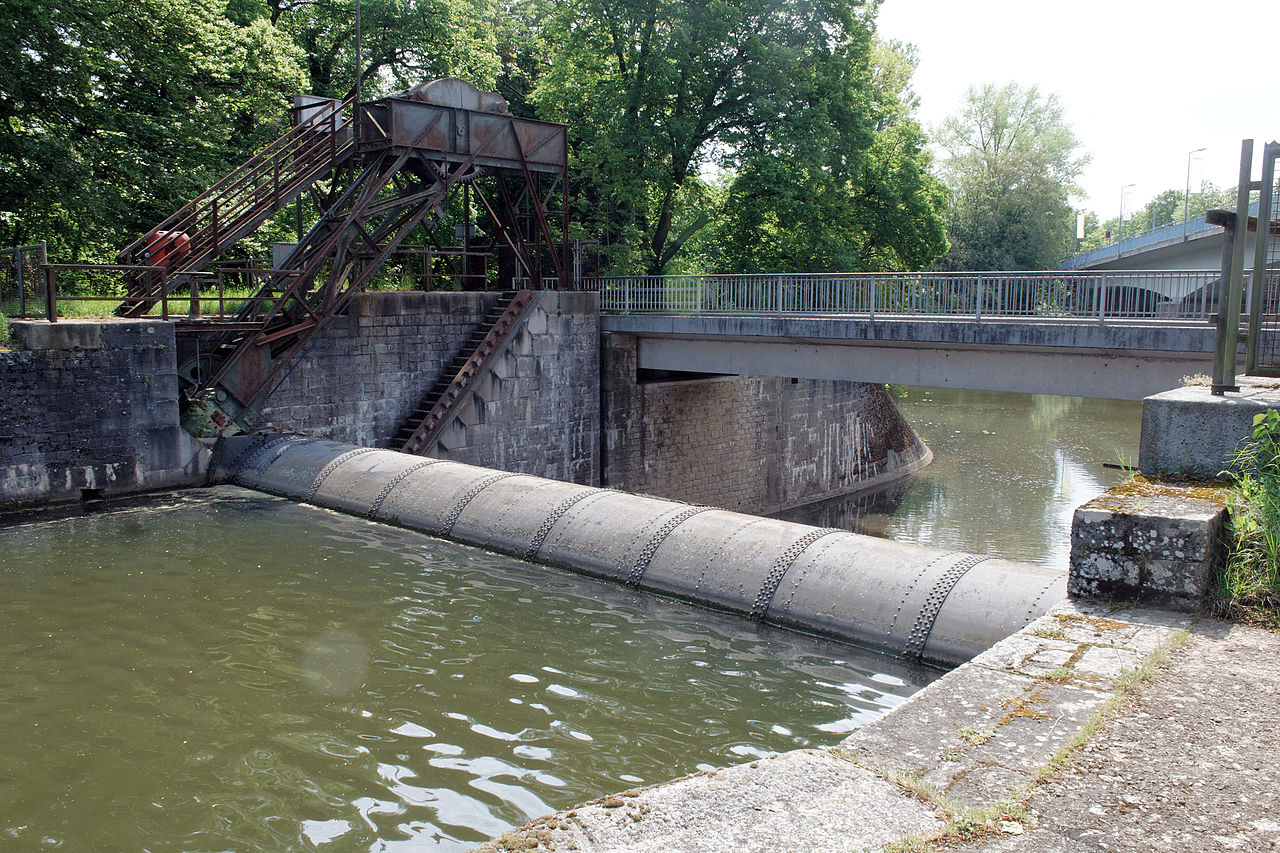
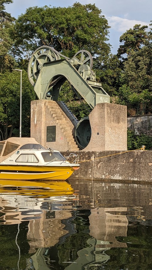
332.5 km – Max Bridge. Schweinfurt right. 332 km – Schweinfurt big lock left, Island, Hydroelectric power station 3.8MW, weir, Small boat lock right. 4.7M deep. The industrial sculpture on right bank commemorates the world’s first roller dam, installed in the channel at the left end of Max bridge in 1902. I think all the modern dams on the Main are also roller dams.

Turning south at Schweinfurt the river leaves beer country, and enters the Maindreieck or triangle. (Click here for River Main – 2).
