Canoeing the Weser
The third German river
Unlike the Rhine and Elbe, the Weser can be canoed from its origin. It starts not as a tiny stream, high in the hills, but fully formed at the junction of the rivers Werra and Fulda at Hann. Munden. The sea at Bremerhaven is 450km away, but the lower sections, below the junction with the Mittleland canal at Minden, have much heavy shipping – scary.
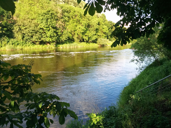
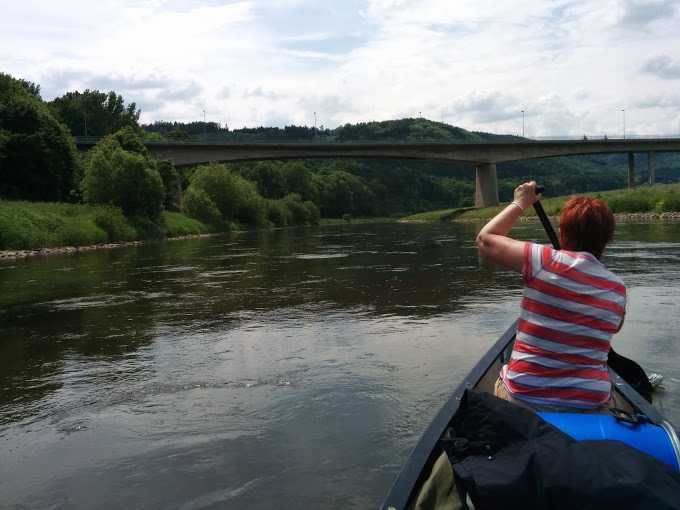
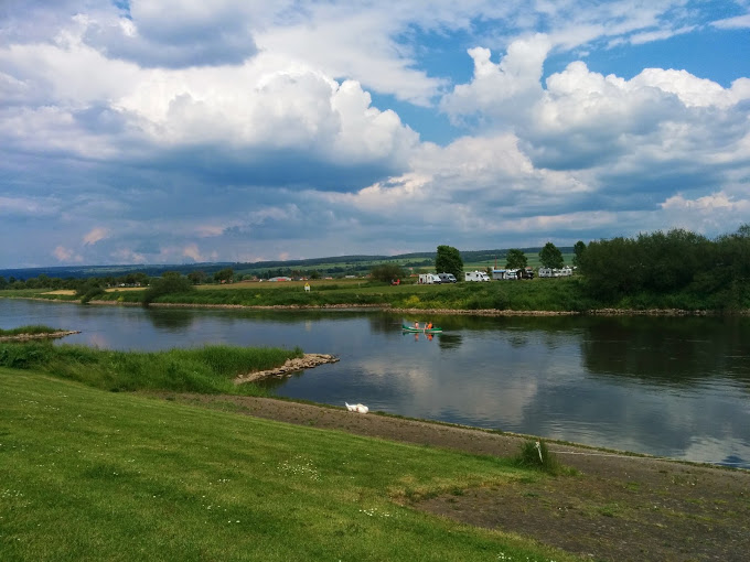
The section from Hann. Munden to Hameln, the home of the Pied Piper, has no locks, plenty of campsites and perhaps two barges and a few tourist boats a day. It is fast flowing – five easy days paddle – and about a days driving from Dover. I used the Hann. Munden – Cuxhaven Radwander-karte (click here) .
0 km – Launch from the car park on the island at the junction of the Werra and Fulda at Hann. Munden, or from the campsite on the Fulda island 100 yards upstream. http://www.fahrrad-kanu-touren-weser.de/
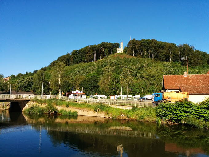
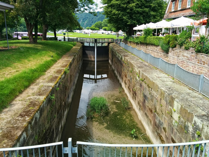
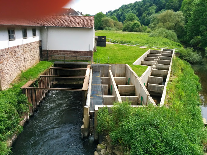
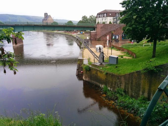
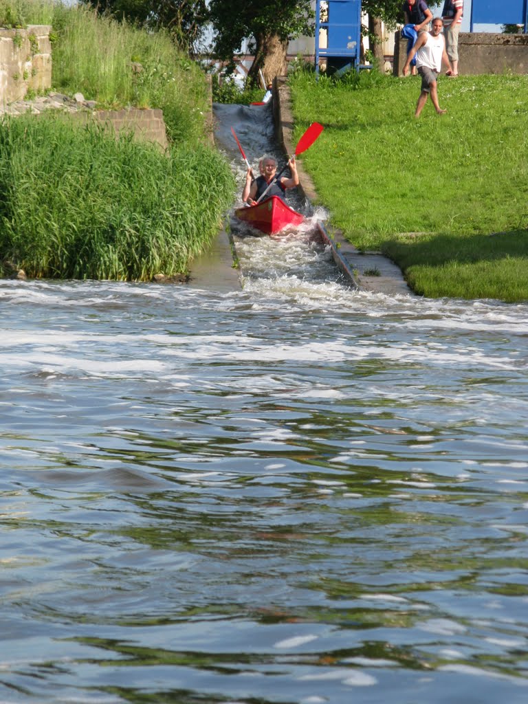
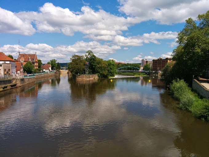
Or launch into the Fulda above the lock and paddle to the right of the island. The weir, with its hydro-electric power station right, has a canoe shoot left.
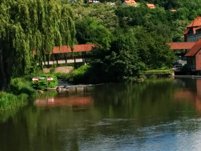
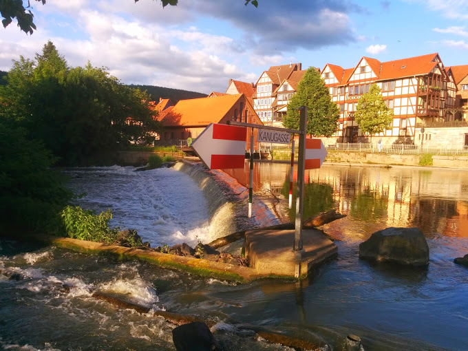

Good landing stage/launch spot just below the last Fulda lock by the campsite.
0.5 km – road bridge B3/B80
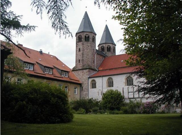
5 km – Hilwartshausen Abbey left
5.5 km – gravel pits right
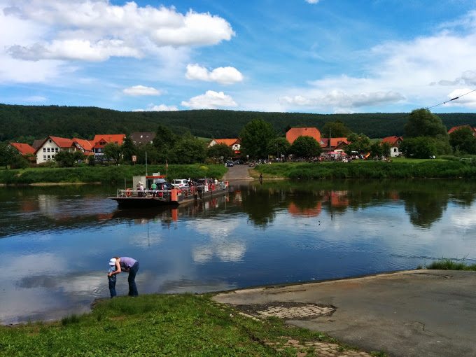
11 km – ferry. Reinhards-hagen left. The small village of Hemeln right is not the home of the Pied Piper. That’s at 133 km.
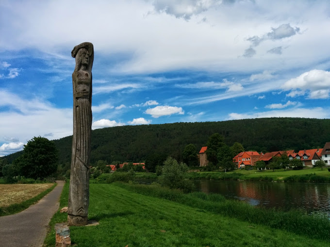
Statue of the legendary giantess Brama on the left bank downstream of the town.
Wesercamping Hemeln http://www.wesercamping.de/ The main site is set back from the river but they allow camping on the bank.
17 Km – Glashutte. Youth campsite right
19 Km – River Nieme joins right. Bursfelde Abbey right
22 km – Weisse-hutte camping left
25 Km – Ferry. Oedelsheim right.


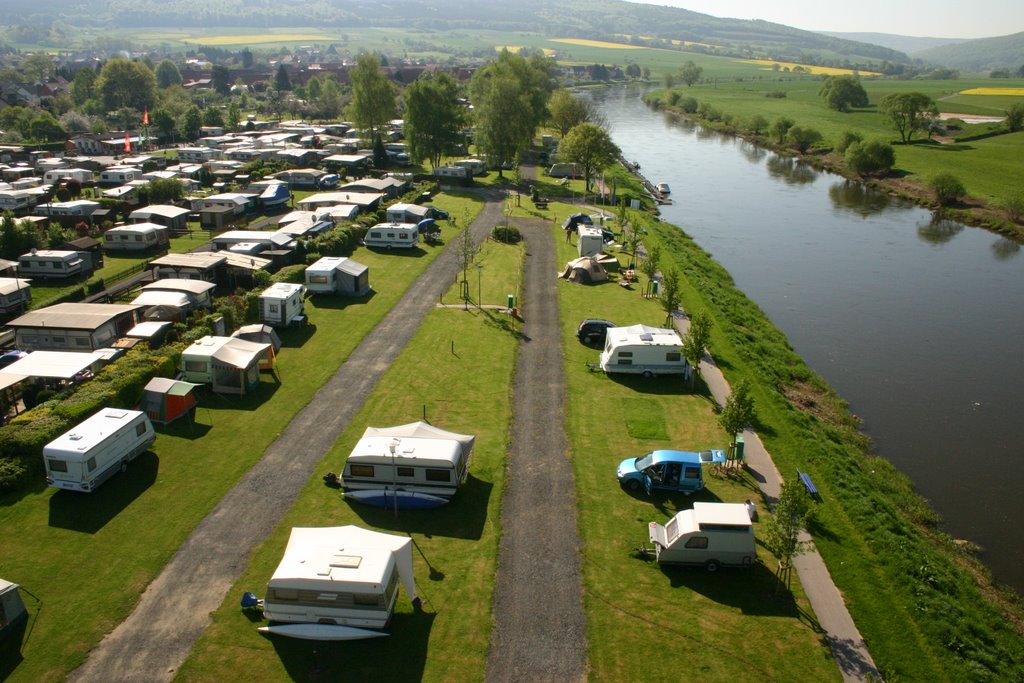
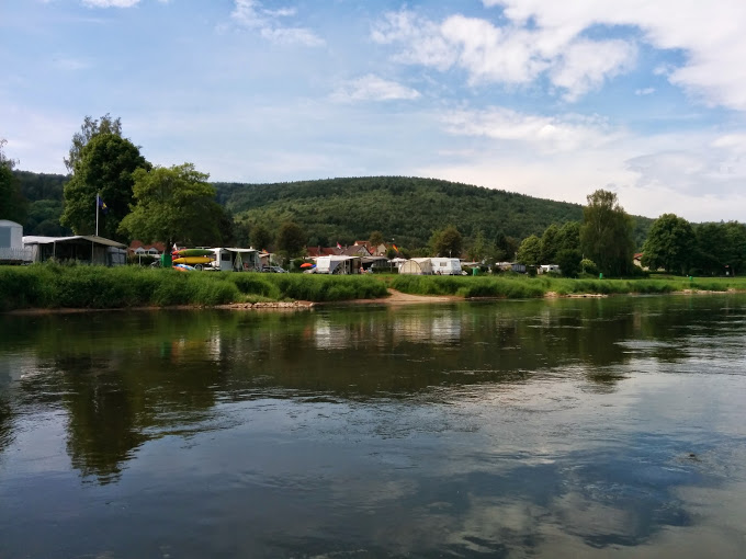
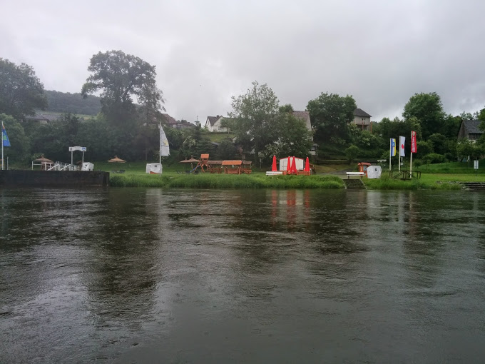
25.5 km – Camping right. http://www.campen-am-fluss.de/ Lovely site. Kanu Shumacher trips launch from here.
28 km – Camping left
29 km- Bridge. Gieselwerder left
33 Km – Ferry. Lippoldsberg right

34 km – Bodenfelde right.
35 km – Wahmbeck ferry

Look out for this structure on the left, just before Bad Karlshafen bridge .
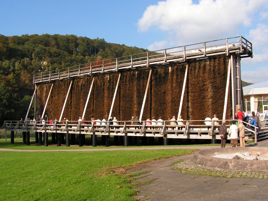
It filters the local mineral water through a network of twigs, creating a briny vapour which is supposed to have health giving properties. Probably does as much good as most alternative therapy. At least if you’re sitting next to it, no-one’s operating on you, or filling you with harmful drugs.
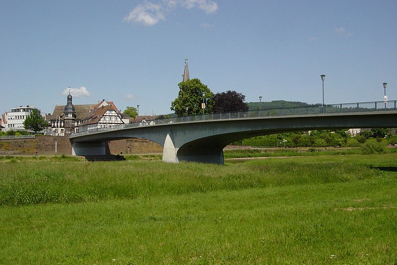
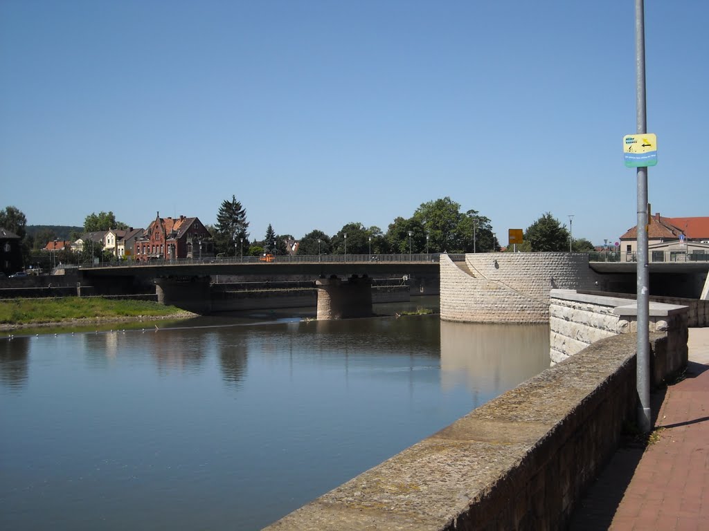
43 km – bridge. Bad Karlshafen left.
Camping below bridge on right. http://www.campingplatz-bad-karlshafen.de/
The harbour and locks connecting the Diemel navigation to the Weser are now disused.

44 km – Diemel river joins left
46 km – ferry. Herstelle left. Wurgassen right

48 km – road bridge. L763
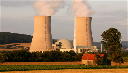
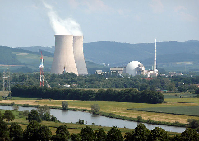
50 km – Wurgassen nuclear power plant right
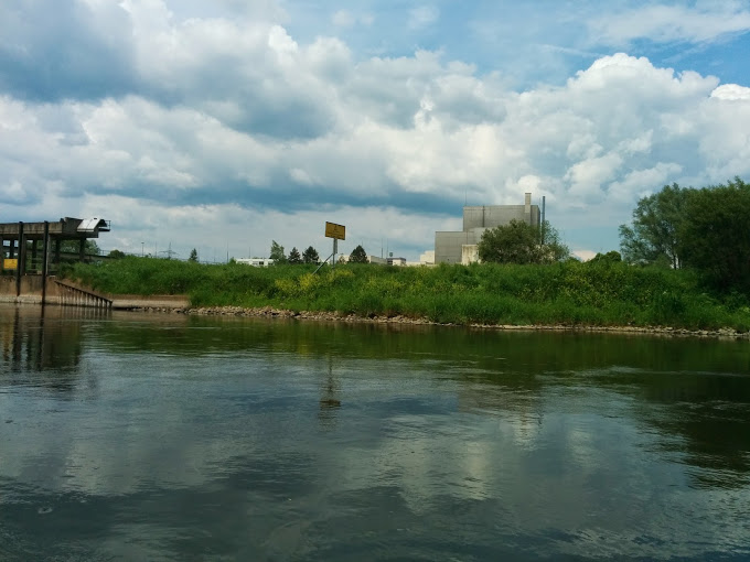
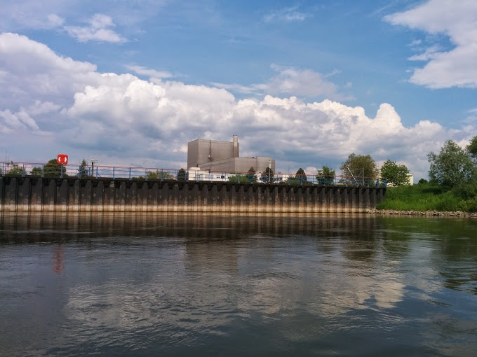
Built in 1968, with an output of 640MW, Wurgassen was one of Germany’s first commercial nuclear power stations. It was shut down in 1995 because cracks had been detected in the steel reactor container. Precautionary, there had been no leak. It is currently being dismantled.
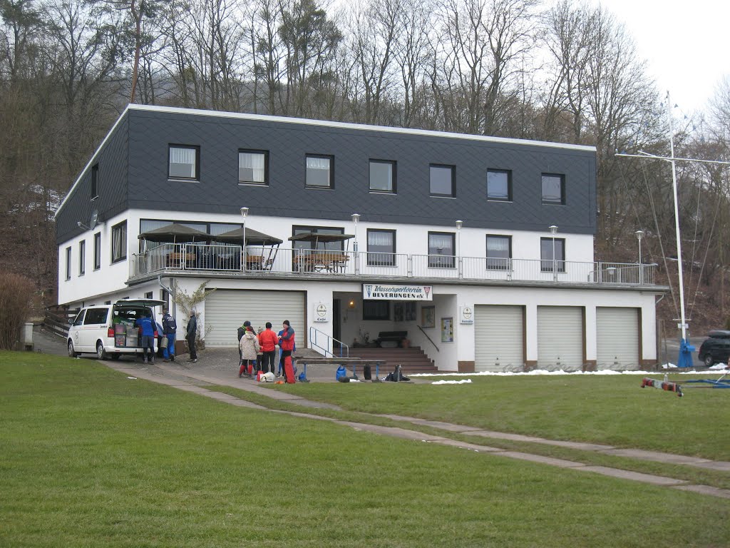
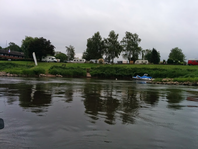
52 km – Beverungen boat club left allows camping. Excellent facilities.
There is also a campsite on the right bank opposite, albeit set back from the river bank
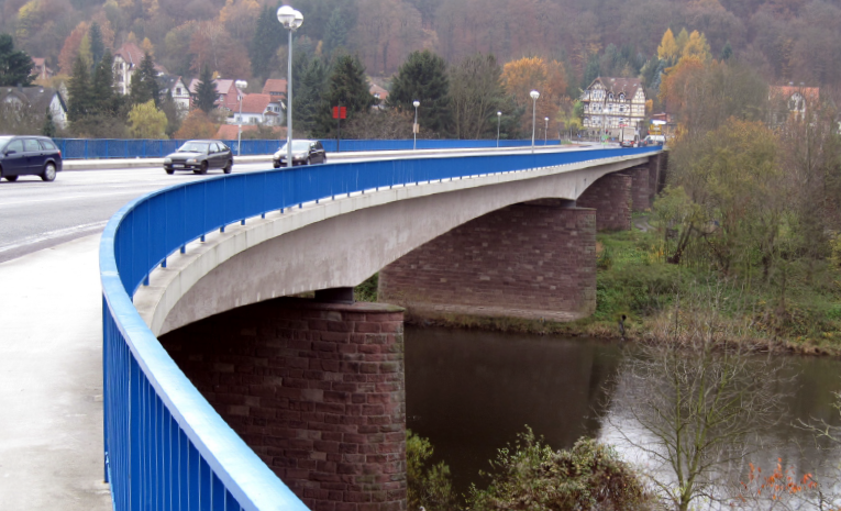
53 km – road bridge. Beverungen left

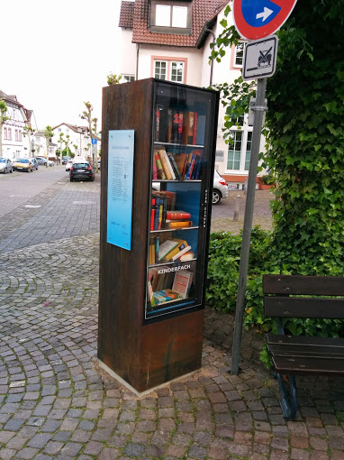
Honesty book exchange in centre of town. Take one leave one.
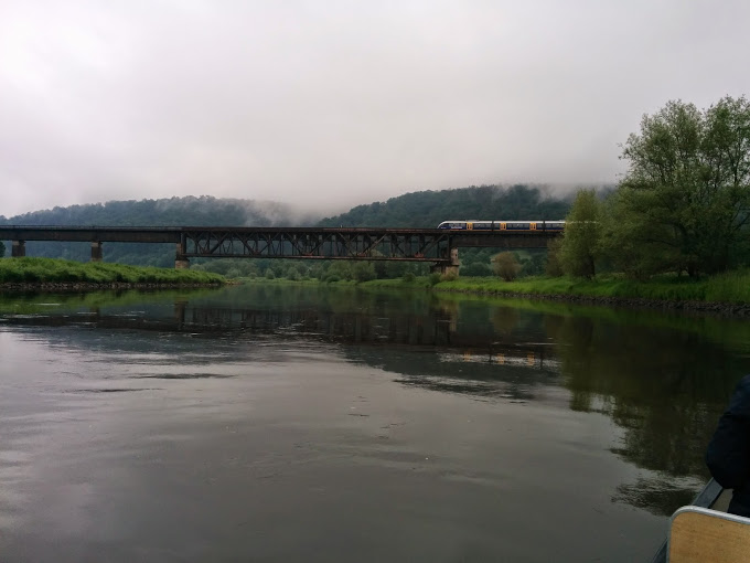
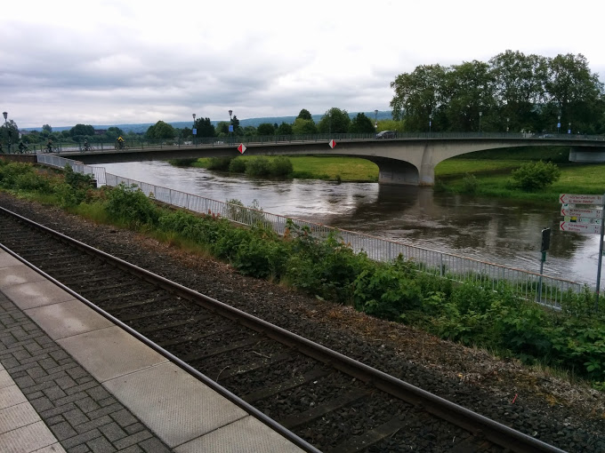
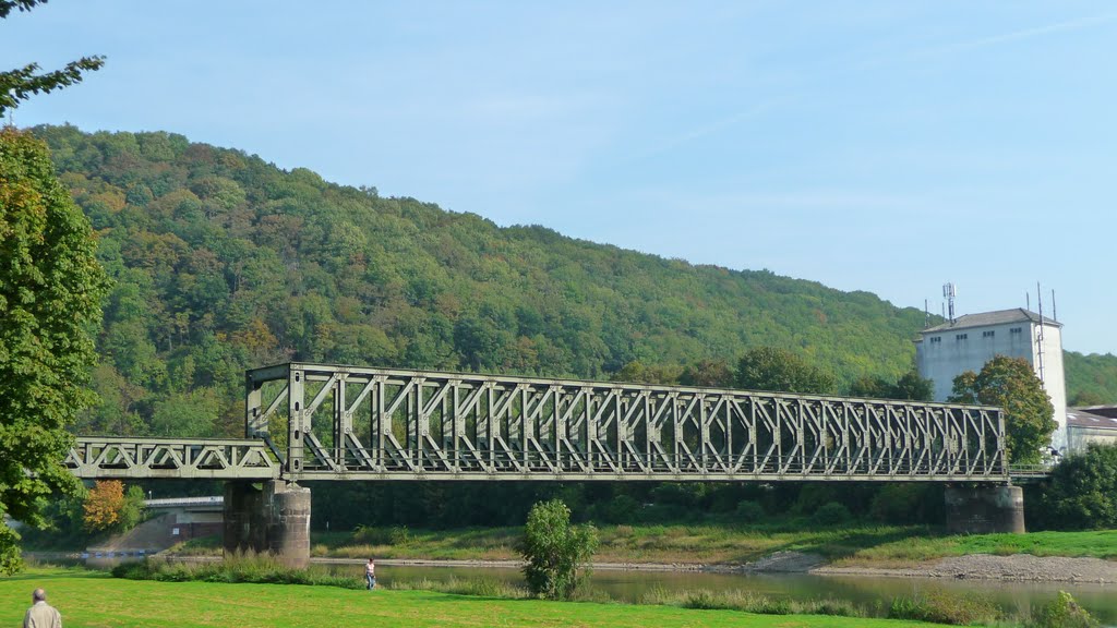
57 km – railway bridge
25 miles – ferry. Wehreden left
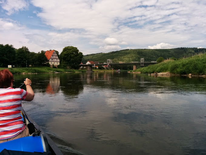
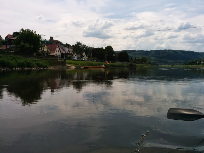
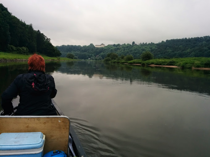
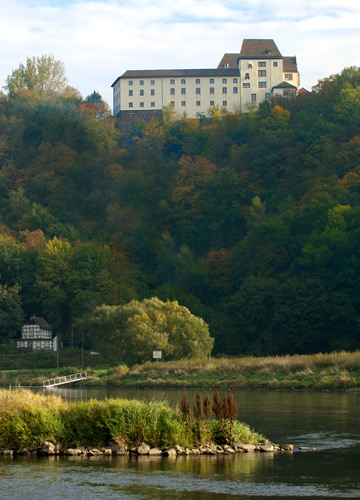
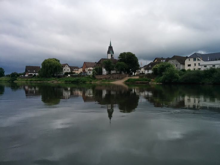
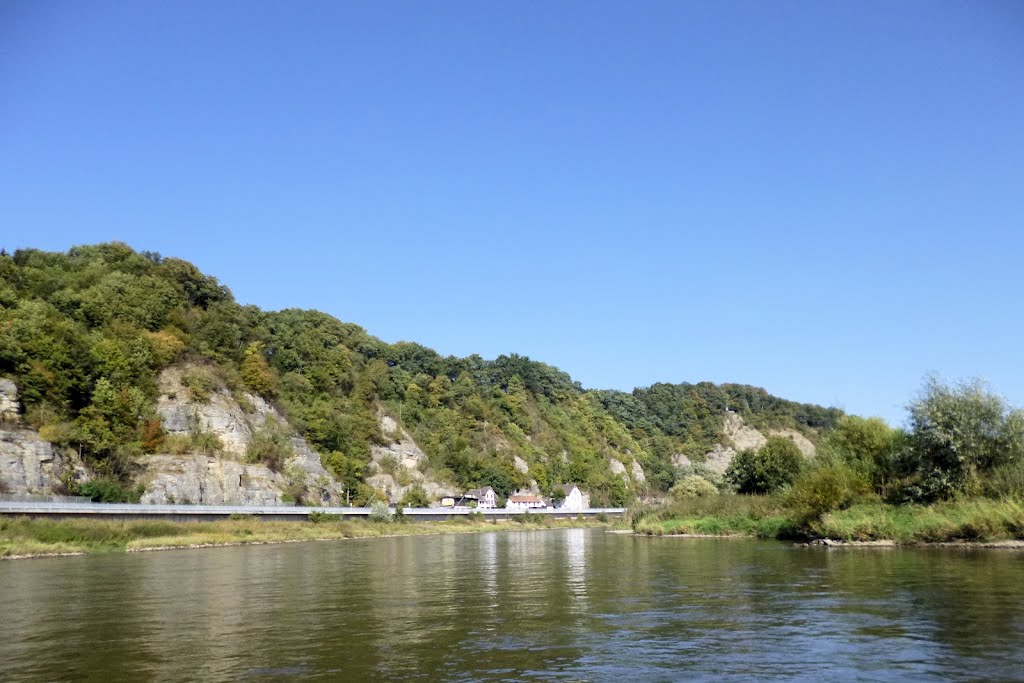
Schloss Furstenberg right bank at the end of a straight reach. Famous for porcelain. Look how the cliffs have wooded over in the last 100 years.

63 Km – railway bridge. River Nethe enters left just downstream

Camping right Wesercamping Hoxter
27.5 miles – bridge. Hoxter left
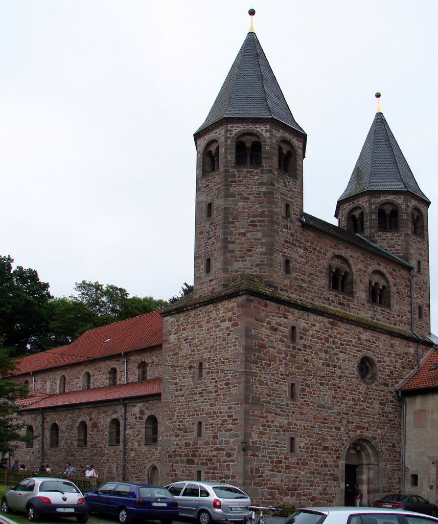
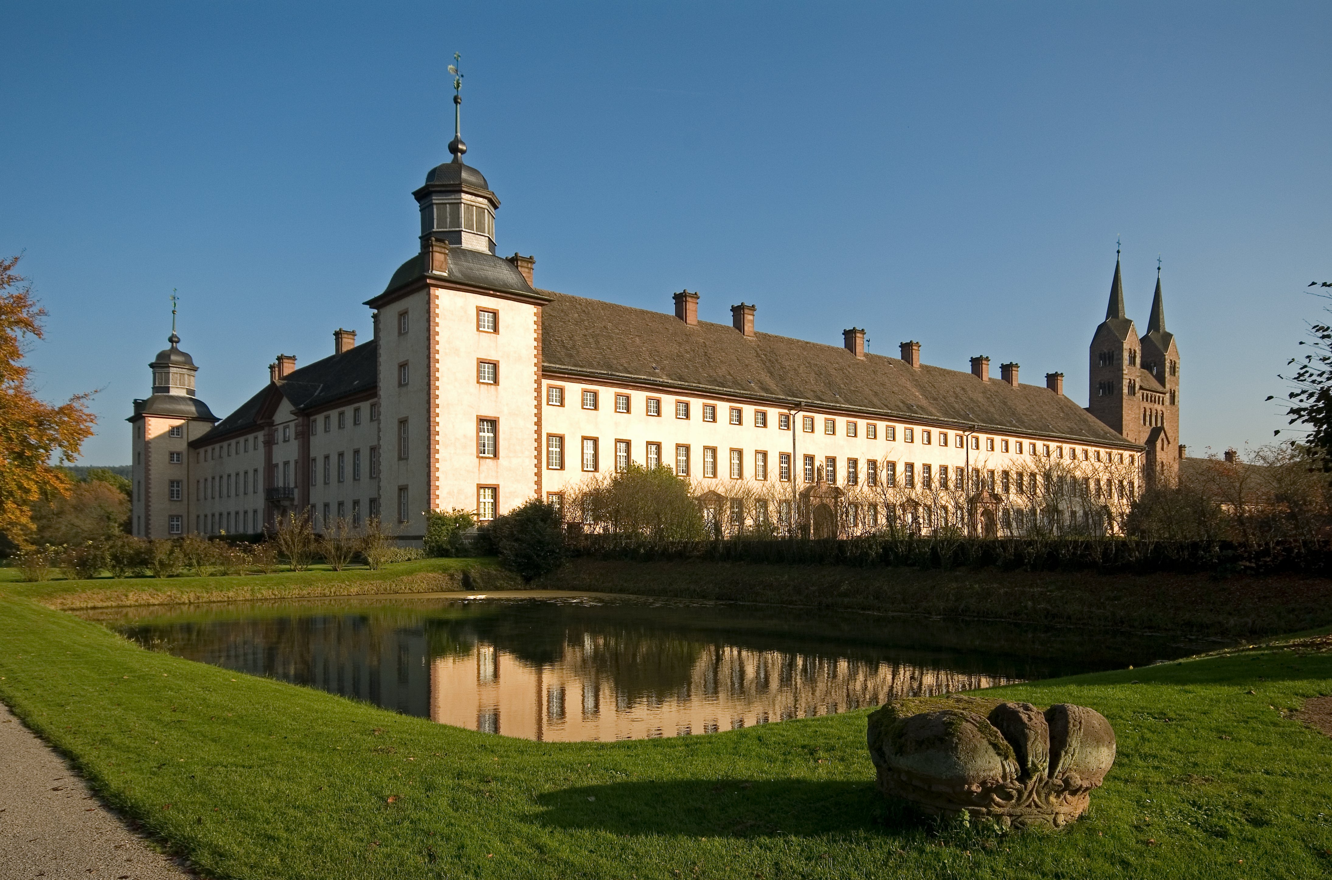
28.5 miles railway bridge. Schloss Corvey left immediately after the bridge, previously a Bendictine monastery, and now a UNESCO world heritage site, is hardly visible from the river. Camping left in the castle grounds (click here)

73 Km – bridge. Luchtringen right

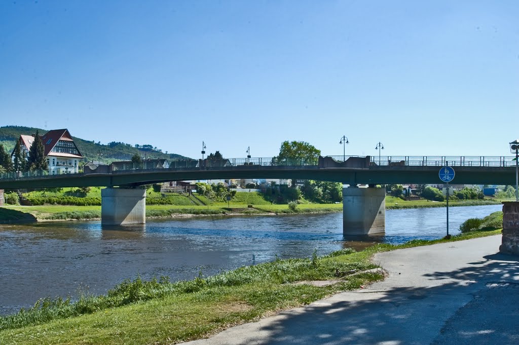
80 km – Holzminden bridge. Camping left before bridge. Holzminden right

The old harbour right just before the bridge. Landing spot. Youth hostel adjacent.


81 km – Holzminden by pass bridge

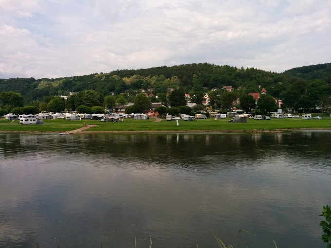
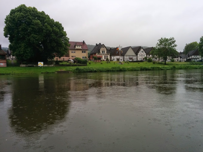
91 km – Weserbergland camping left http://www.weserbergland-camping.de/ Heisen left. A very scenic village.


93 km – Eversteiner castle left. Allegedly the home of Cinderella’s prince. Hmm? Ferry. Polle left. Campingplatz Weserterrassen left http://www.weserterras

94 Km – Brevorde left

97 km – Solar Ferry. Grave left.
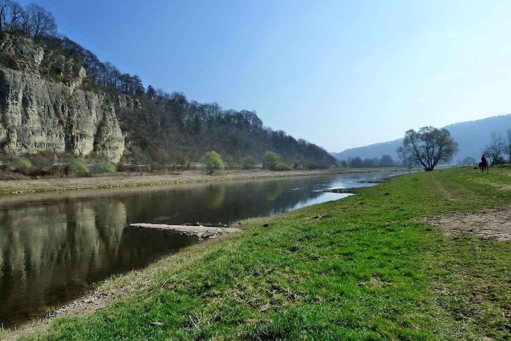
99 km – Dolme right. Steinmuhle cliffs left
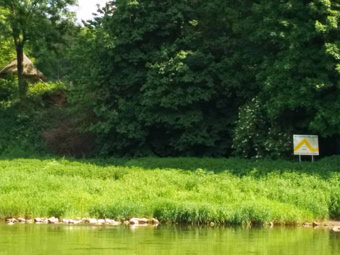
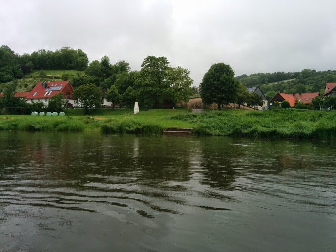
102 km – Pegestorf left. The harbour is long disused, and the campsite marked on the map on the left bank just downstream didn’t exist in May 2014. But no worries – two lovely sites on the right bank soon after Rühle.
103 km – Ruhle right Click here for the cemetery
104 km – Campingplatz Rühler Schweiz right. http://www.brader-ruehler-schweiz.de/campingplatz-ferienwohnung-bodenwerder.htm


106 km – Campingplatz Himmelspforte right. http://www.camping-weserbergland.de/
109 km – Bridge. Bodenwerder left.

109.5 km – Bodenwerder railway bridge
110 km – Bodenwerder bypass bridge
114 km – bridge. Daspe right. Hehlen left.
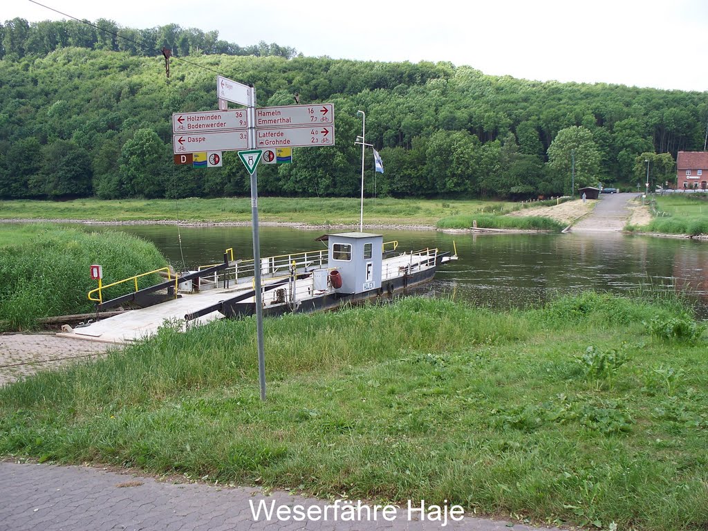
118 km – Ferry. Hajen right
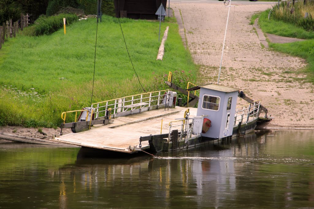
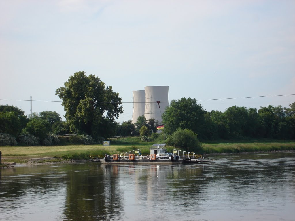
120 – Ferry. Grohnde left


122 km – Latferde right.
123 km – Grohnde nuclear power plant left.
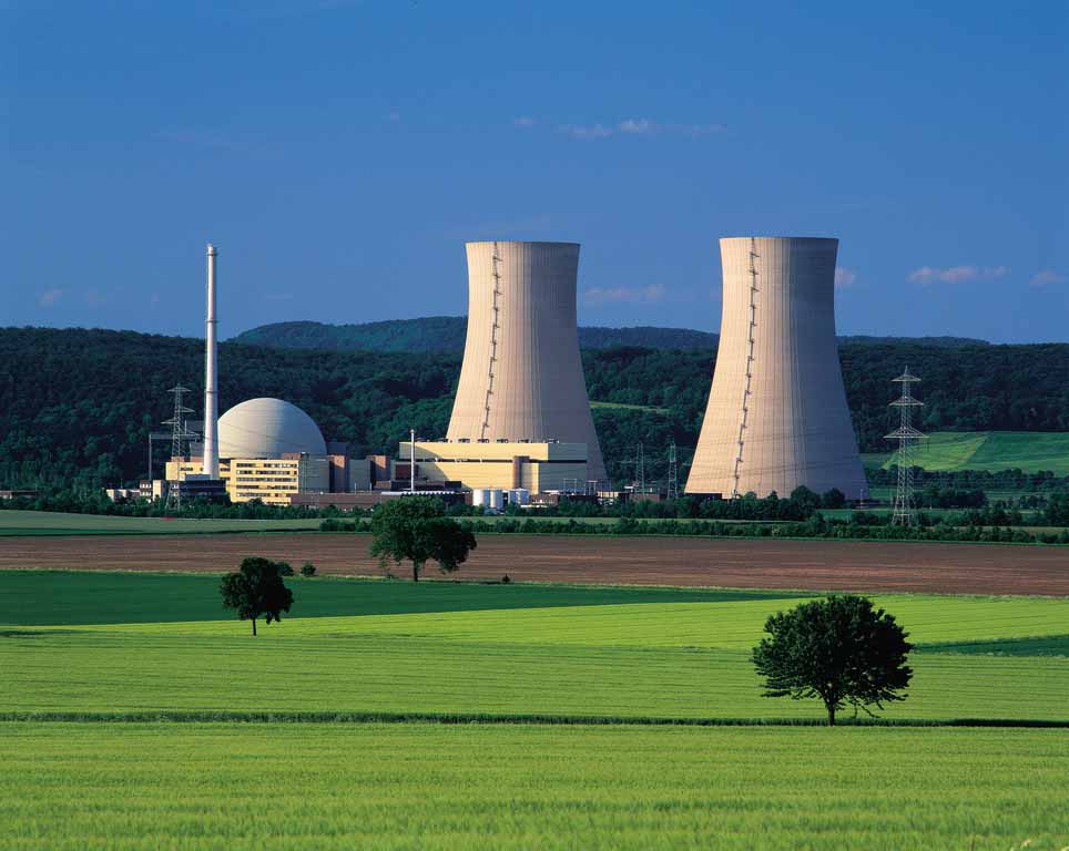
This beautiful 1430MW pressurised water reactor, built in 1984, and operated by EoN, runs on both normal uranium and reprocessed MOX fuel from Britain and France, making it one of the most efficient in the world; eight times it has produced more electricity in a year than any other nuclear power station.
In a panic after the Fukushima nuclear leak in 2011 the Germans decided to phase out all nuclear power by 2022, and unless someone sees sense, Grohnde will go.
124.5 km – bridge. Emmerthal left. Hagenohsen right
125 – railway bridge
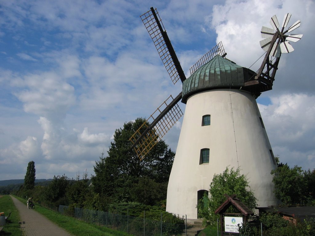
126 km – Tundern windmill set back from the river right
127 km – Ferry. Ohr left
132 km – camping right
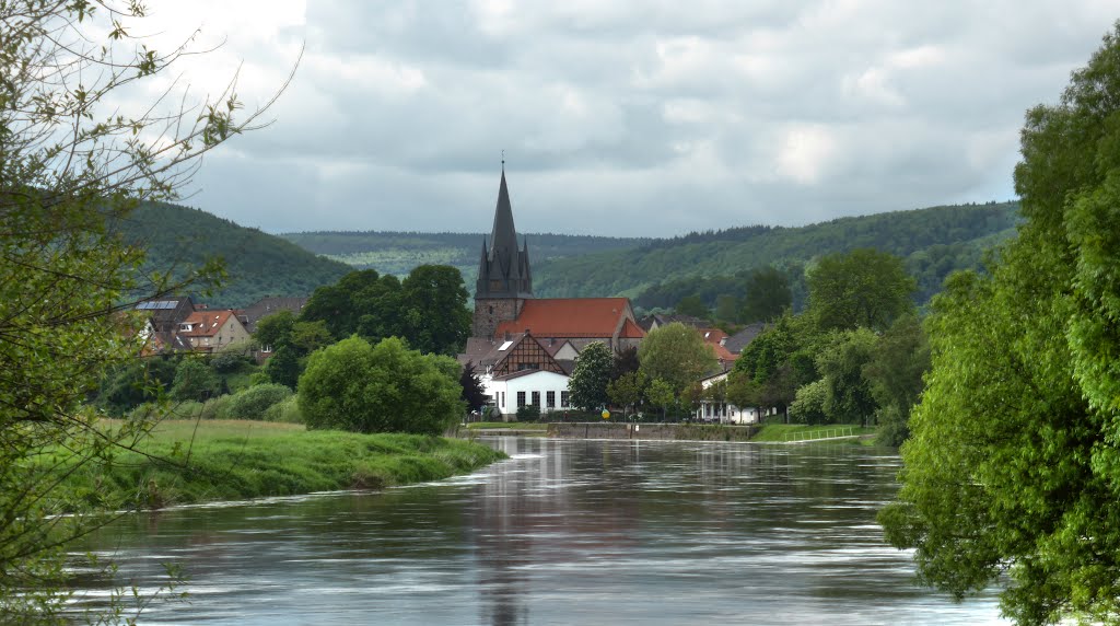
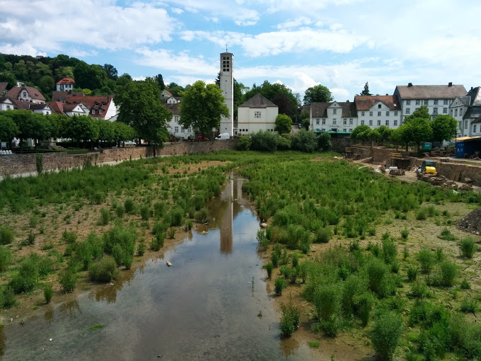
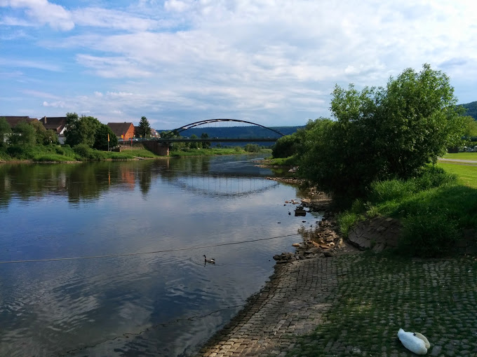
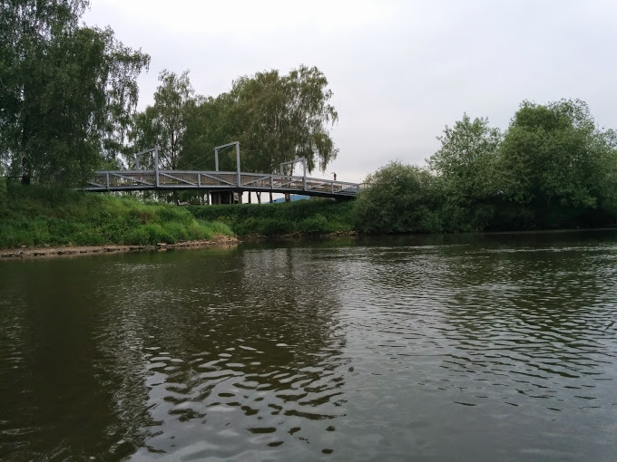
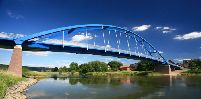
133 km – bridge Hameln right. Home of the pied piper


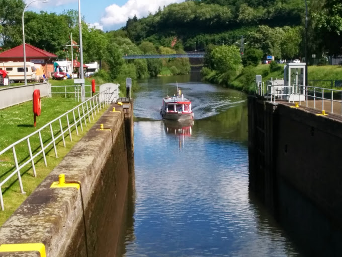
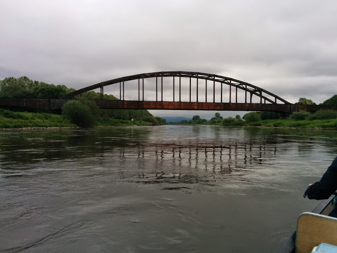
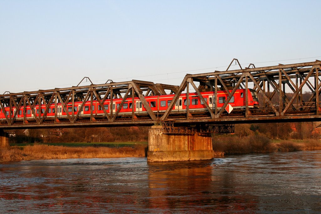
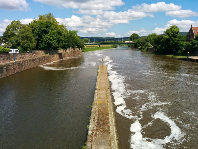
134 km – weir. Lock left. Island. Canoe shoot. Weir. Bridge. Island. Lock. Weir. Hydroelectric power station.
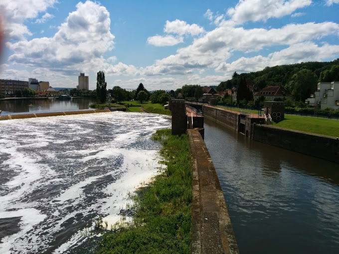
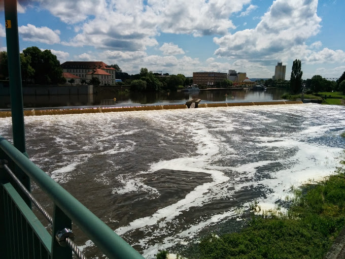
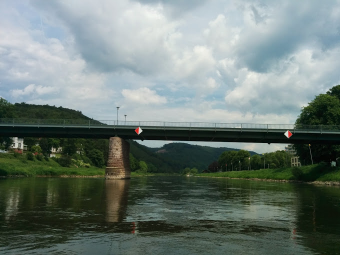
The main road bridge in Hameln crosses the weir
Jim Thornton
