River Welland
Market Deeping to Spalding
The Welland can be canoed above Stamford (click here) but it’s not easy, and even below there are many weirs and other obstructions. We started below Deeping St James High Lock, leaving only one portage before Spalding. Camping at Crowland breaks up the open fenland section.
0 miles – Deeping St James High Lock. The locals recommend parking on the roadside away from the river, but who wants to get run over? We faced them down.

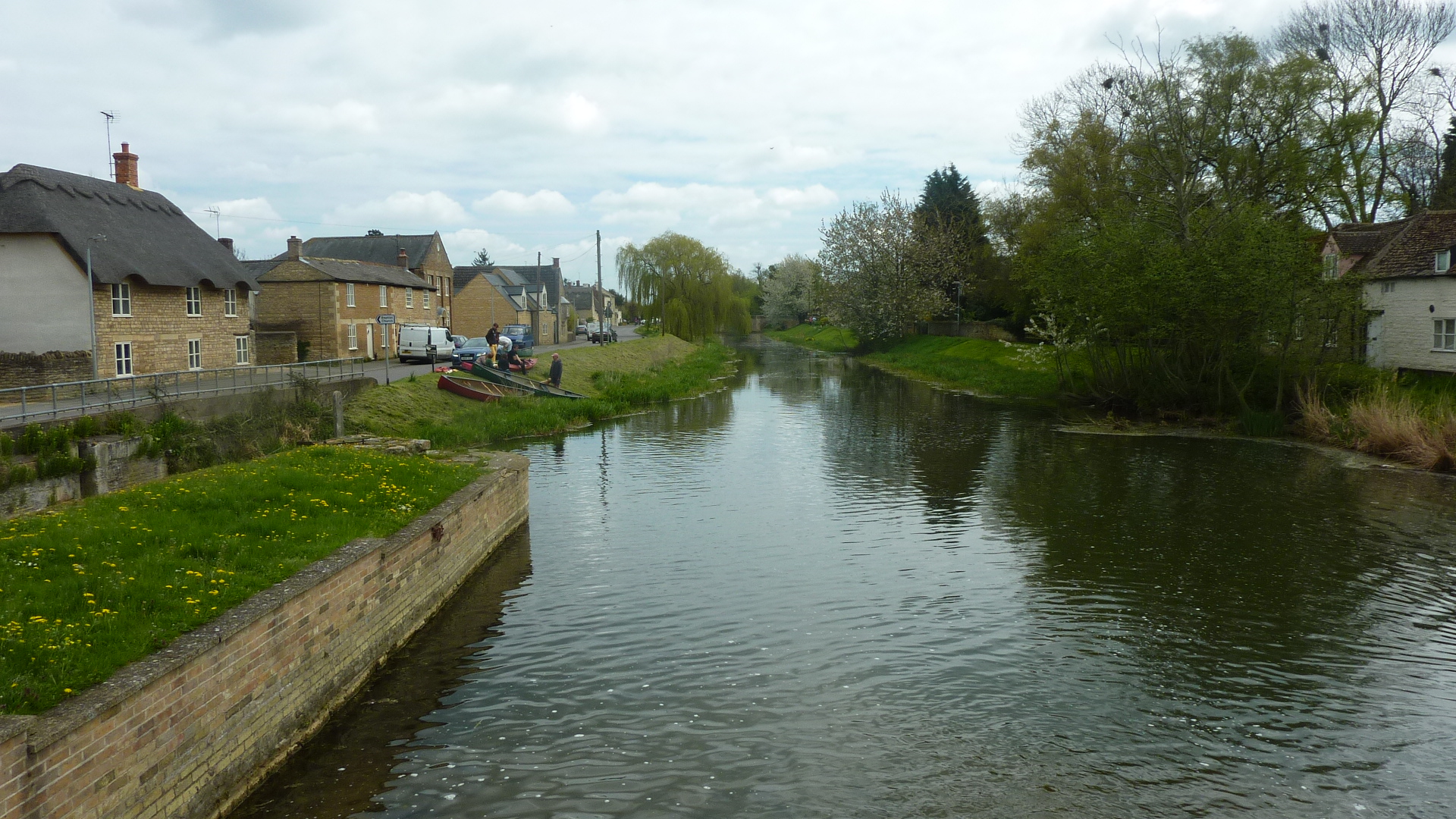
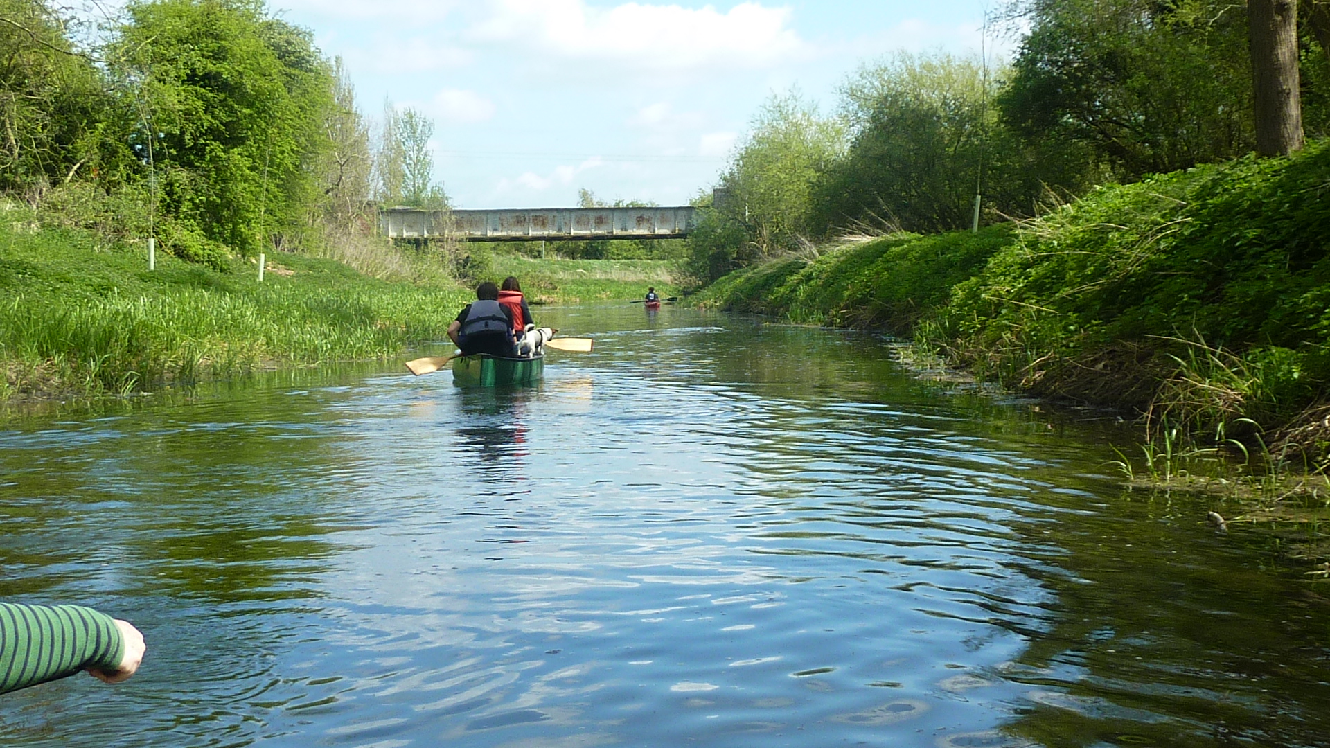
0.25 miles – B 1162 bridge, followed by footbridge. The dog, first trip in a canoe, is just about to learn you can’t walk on water.

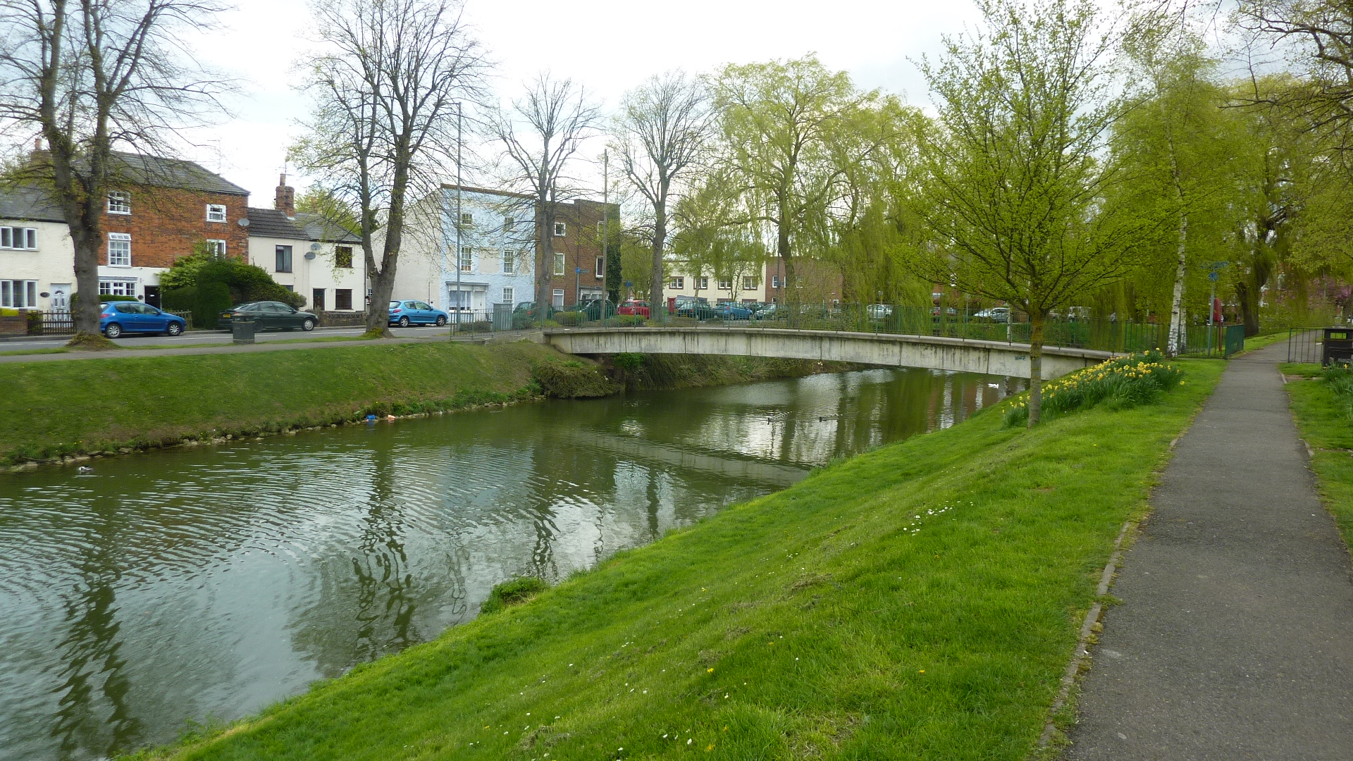
0.5 miles – Deeping St James Priory Church left


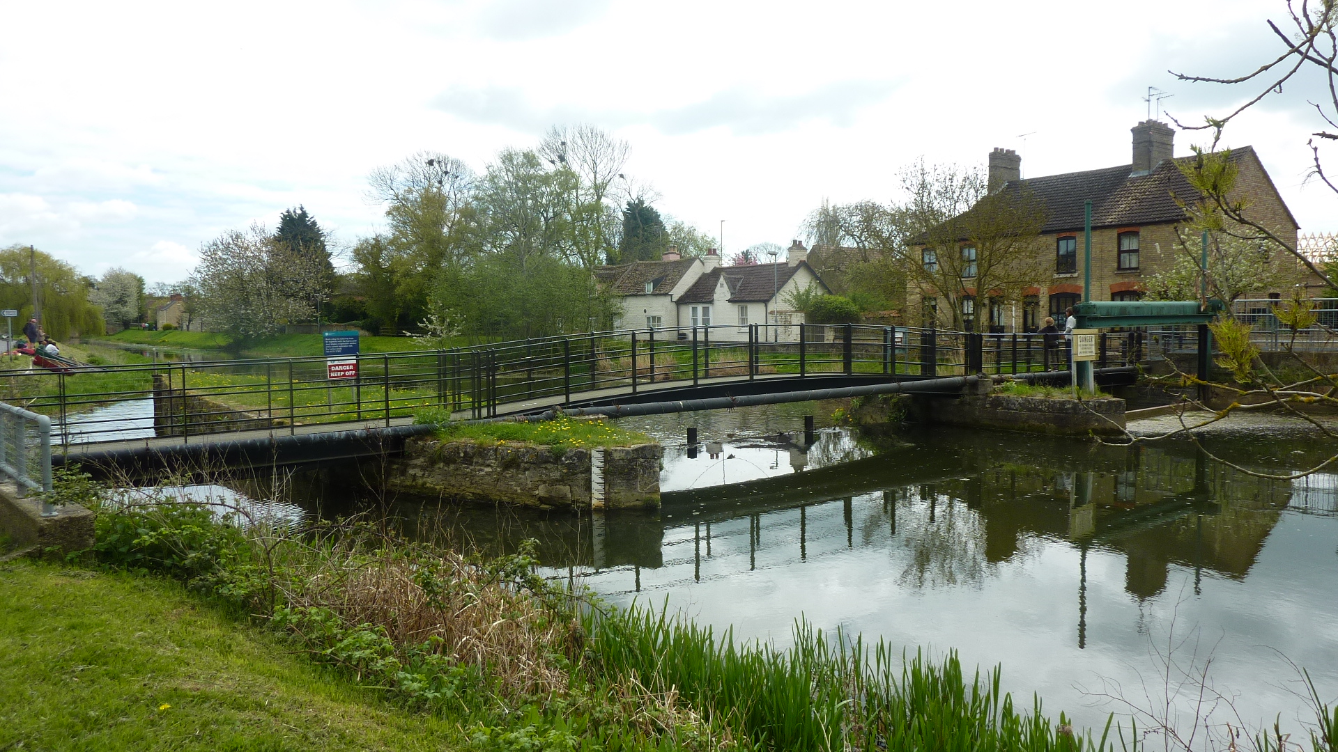
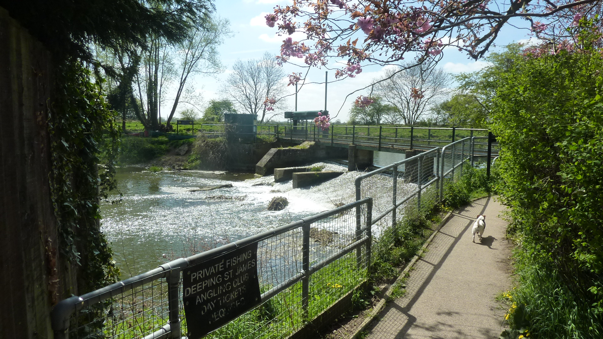
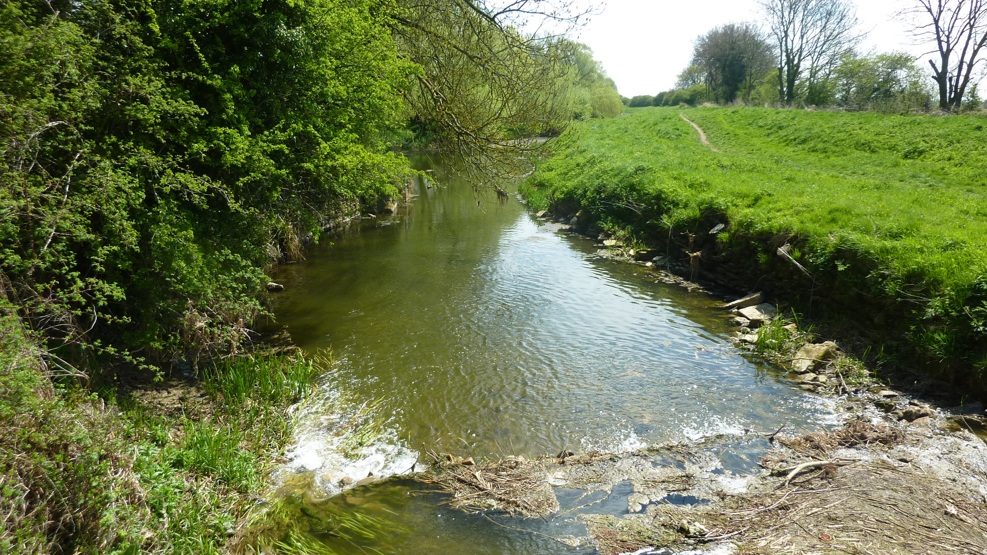
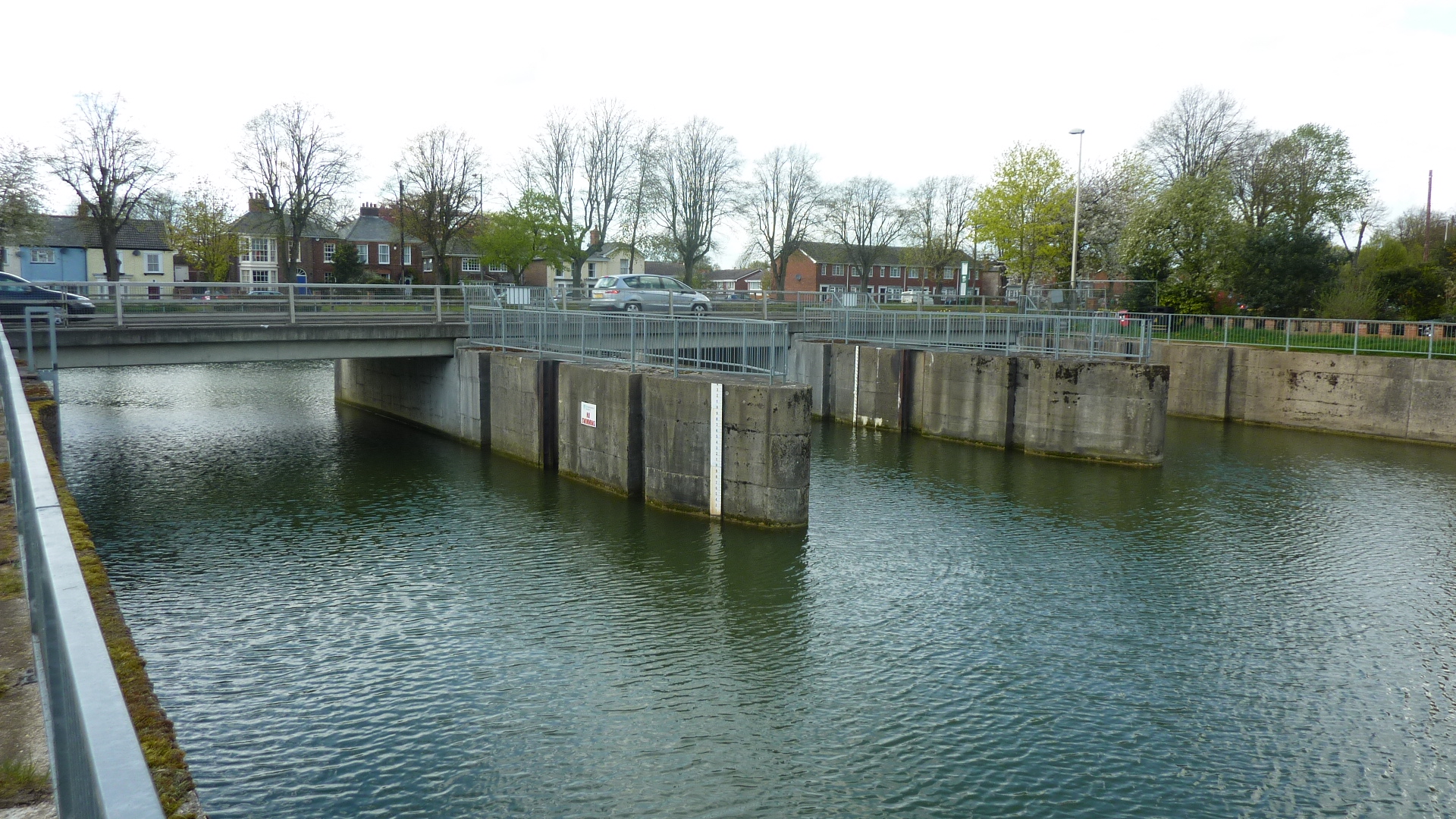
1 mile – Deeping St James. Low lock and weir. Portage over the island.


Old lock chamber still visible in R channel


1.6 miles – railway bridge. Looks a bit rusty, but carries the Spalding to Peterborough line.
1.8 miles – Maxey cut joins right, followed by Car Dyke.


The river changes character. From here to Spalding it’s wide, straight and deep, with high banks – no fun in a headwind.
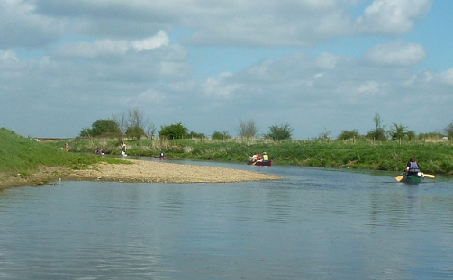
2 miles – Gravel bank left. Access to the bird sanctuary.
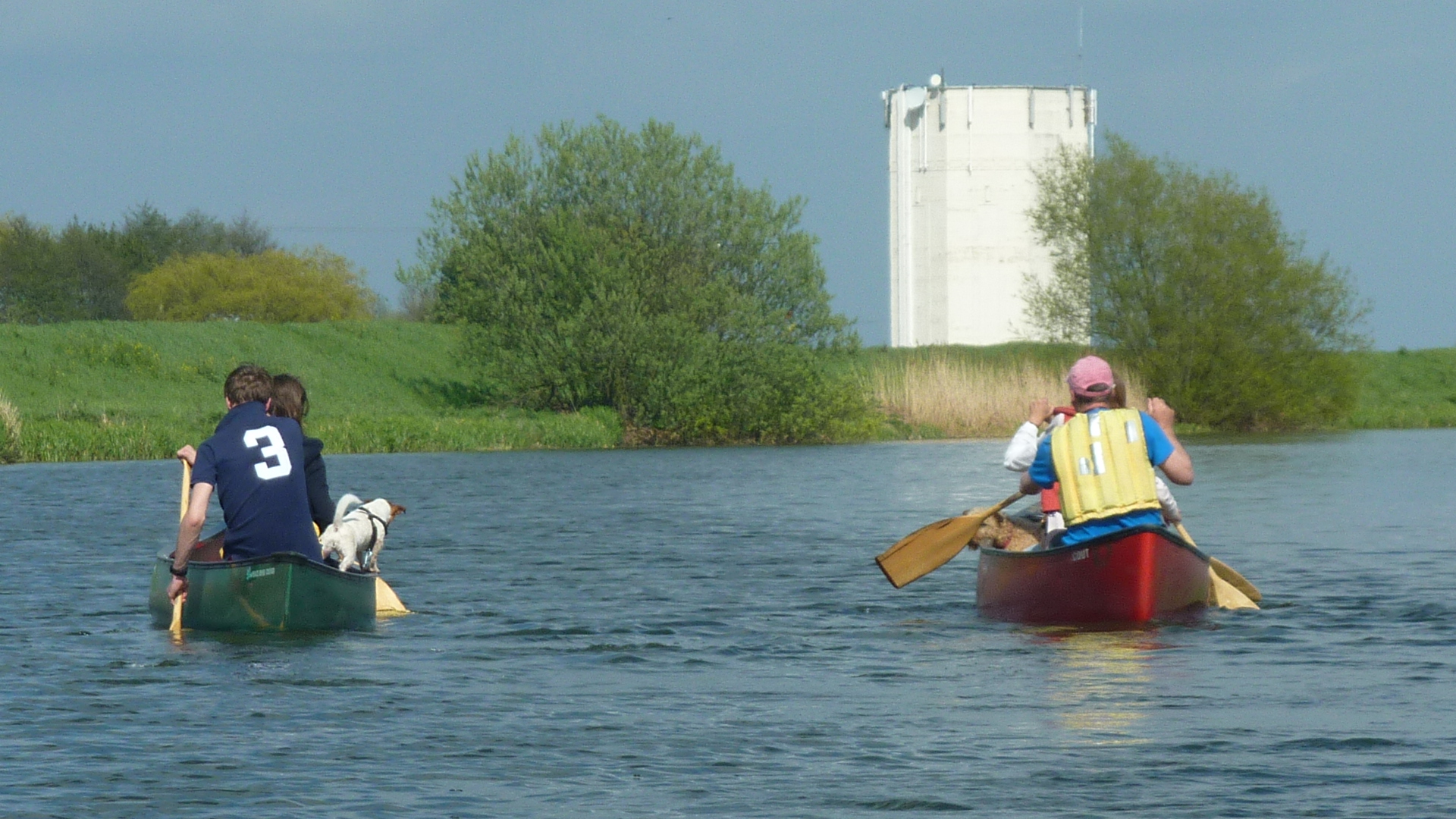
River bend at 4 miles. Soon Crowland water tower comes into view.


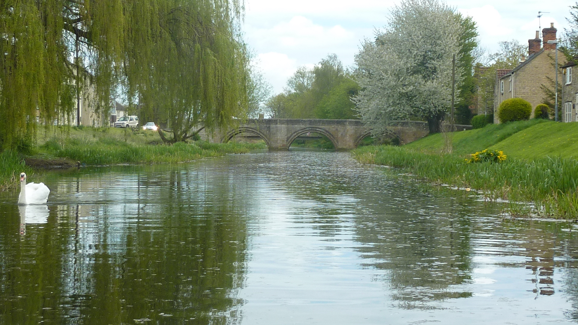
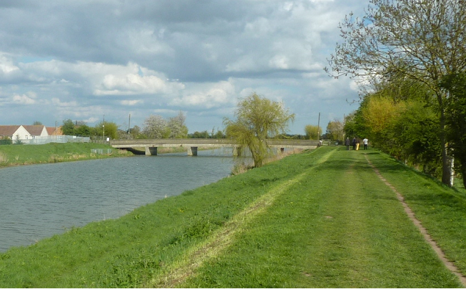
5 miles – B1166 bridge. Crowland 1/2 mile right.
Access left, camping (click here) and Ye Olde Bridge Inn. The day we visited, May 2013, the manager had just run off with the takings and the pub was closed. The campsite had trouble with the loos, so we had to use the ones in a static caravan. But the sun shone and everyone was friendly. A great spot.


The Abbey is visible from the river. So are Crowland Cranes. This may be rural, but it’s not tourist country. Unlike the Lake District or Pennines, where they live off cream teas and EU subsidy, Lincolnshire farmers are the real deal, filling containers with produce for our supermarkets. Unused corners get crane companies on them! Crowland recently entered into partnership with Zoomlion Heavy Industry, one of the world’s largest manufacturers. The Chinese are coming.

7 miles – Four Mile Bar footbridge

8.5 miles – A16 bridge
9.5 miles – New river joins right
9.6 miles B1172 bridge
9.8 miles – disused railway bridge

Coronation Channel leaves right.

The Coronation channel was built to stop Spalding flooding, and by all accounts is doing a good job. It’s not a navigation. The Spalding river taxi is the only powered boat allowed to use it.

But it’s canoeable up to the sluice gates where it rejoins the tidal river. A circular tour requires a portage.
Main river10 miles – footbridge
10.2 miles – footbridge
10.3 miles footbridge 10.5 miles footbridge. Road bridge B1172
10.7 miles footbridge 10.9 miles – two footbridges 11.2 miles – A151 bridges
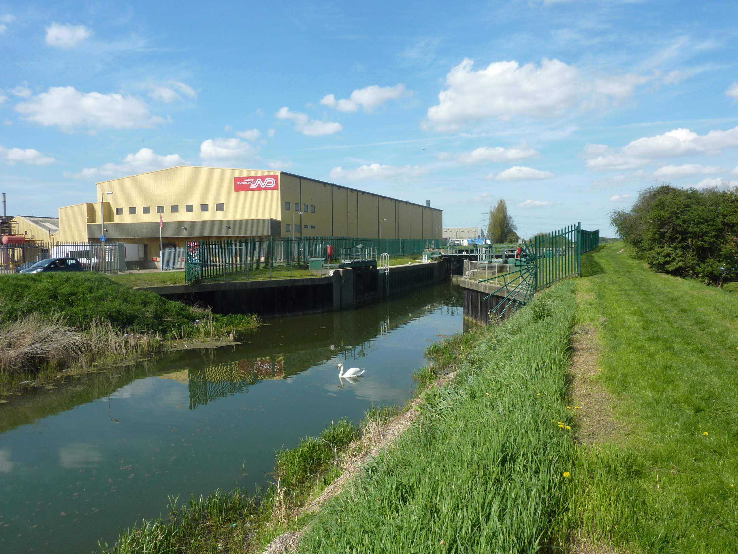
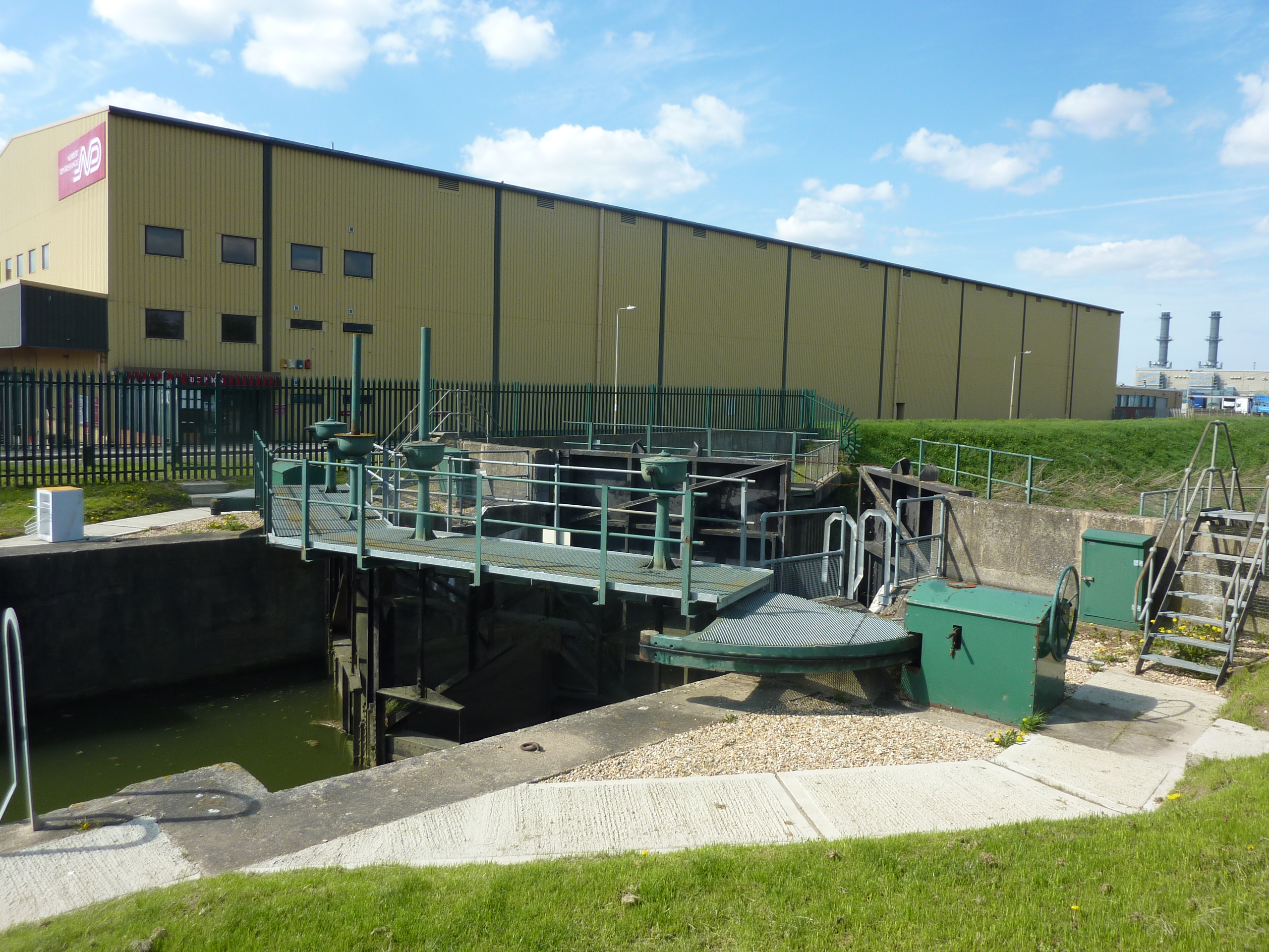
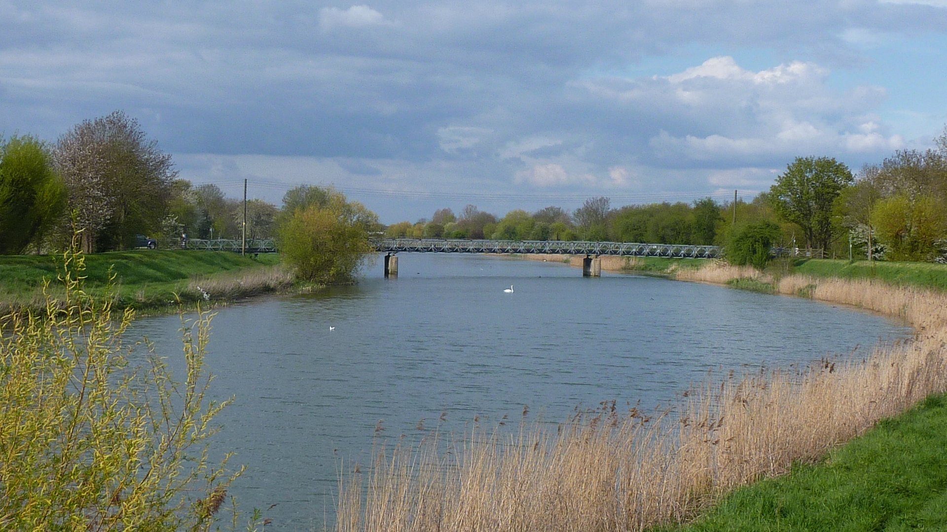
11.4 miles – Lock
The third reverse gate facing downstream holds back high tides.
|
Coronation channel10 miles – Leaves river right under road bridge
10.5 miles – bridge
10.75 miles – bridge
11 miles – bridge
11 .25 bmiles – bridge disused
11.5 miles – railway bridge disused
Road bridge A151 bridge Bridge and sluice gates
Land left just above the barrier buoys for portage back to the Welland
|


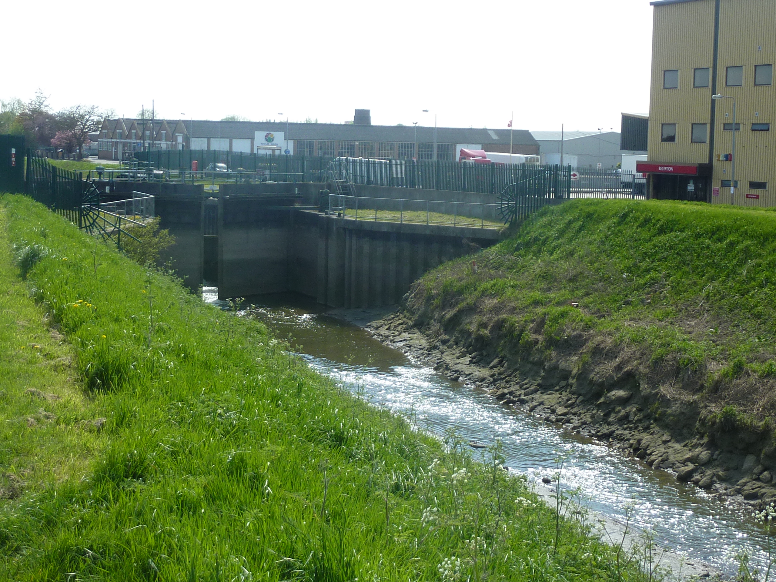


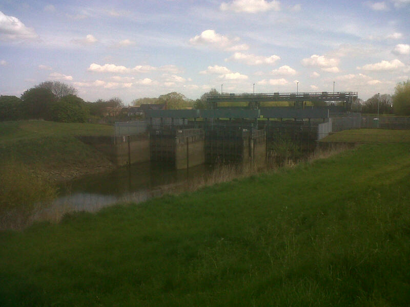
11.6 miles – Coronation channel rejoins the now tidal river right.

The tidal river does not look attractive canoeing.
Jim Thornton
