Canoeing the Orne
Pont D’Ouilly to Thury Harcourt
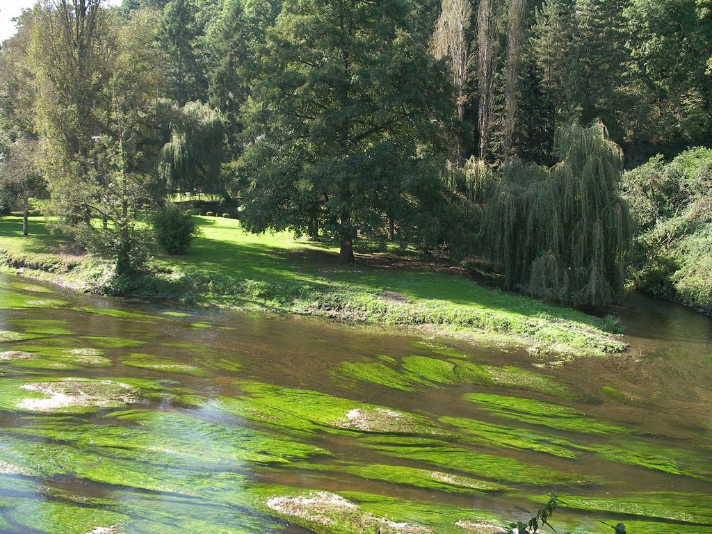
This is a fine stretch of touring river, although some of the weirs are tricky. Hire customers in plastic self-drainers enjoy falling out, but traditional open canoeists need to take care.
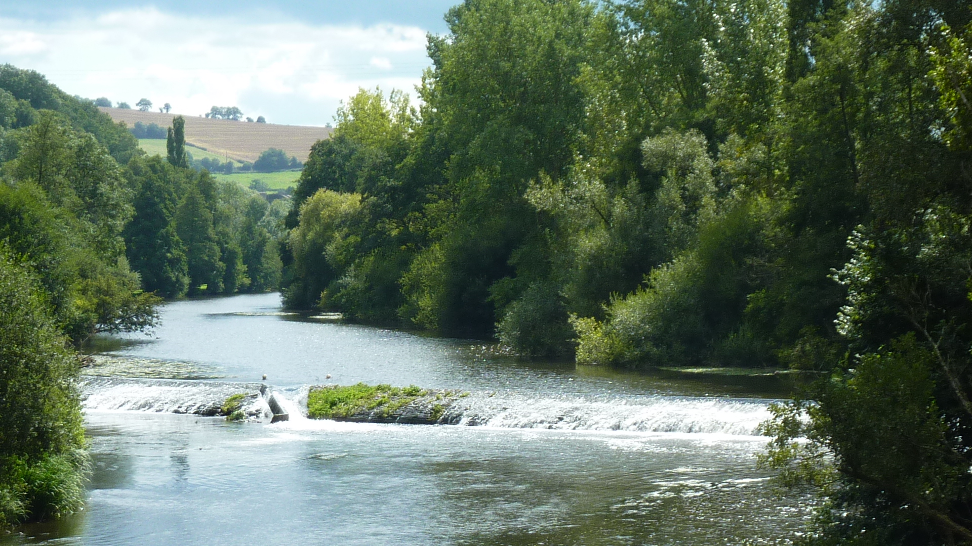
0 km – Pont D’Ouilly. Weir and canoe club upstream of bridge. Glissade right.

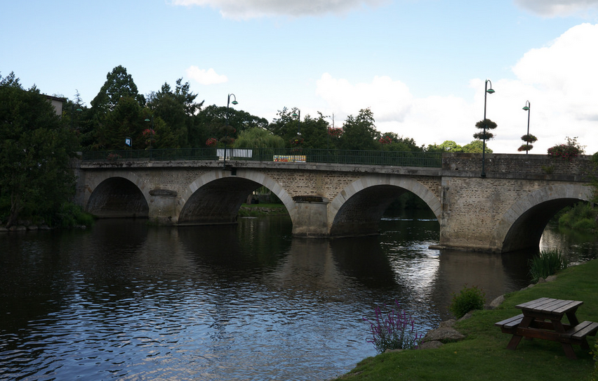
Launch right below the bridge. Alternatively launch in river Noireau, by the station road bridge, and shoot the weir pictured above.
0.75 km – Weir. Le Moulin Neuf. The shootable gap left runs into the bank, covered in rubber sheeting by the hire companies, but a too early break out has a high risk of capsize.
2 km – St Christophe bridge. Disused factory right. The line of the weir is marked on the map, and on the river by small buoys, but the weir itself has been flooded by the barrage downstream.
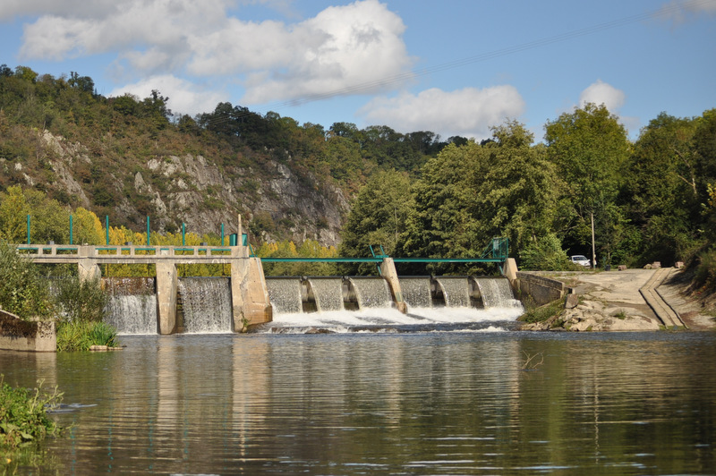
3km – Le Moulin barrage. Power station right. Not shootable. A log slide eases the portage left.
5 km – Broken weir. Minimal drop. Shootable. The footbridge shown on both the map and Google Earth a few hundred yards downstream, had disappeared in August 2014.
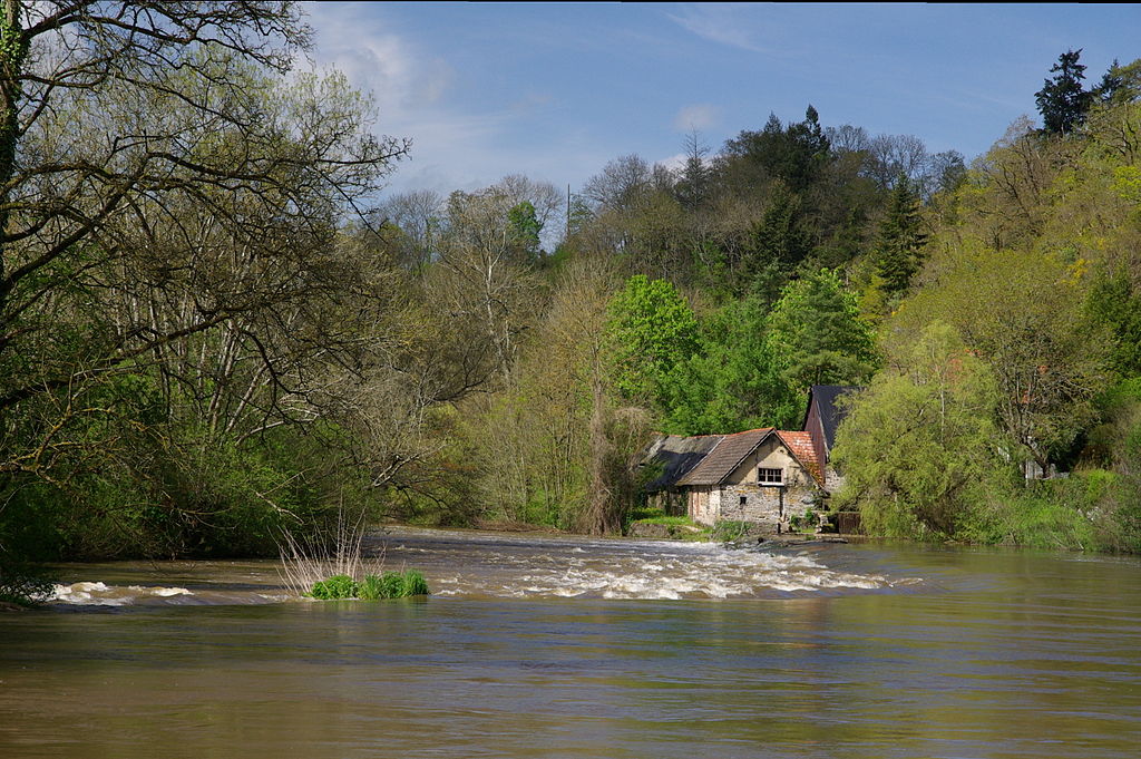
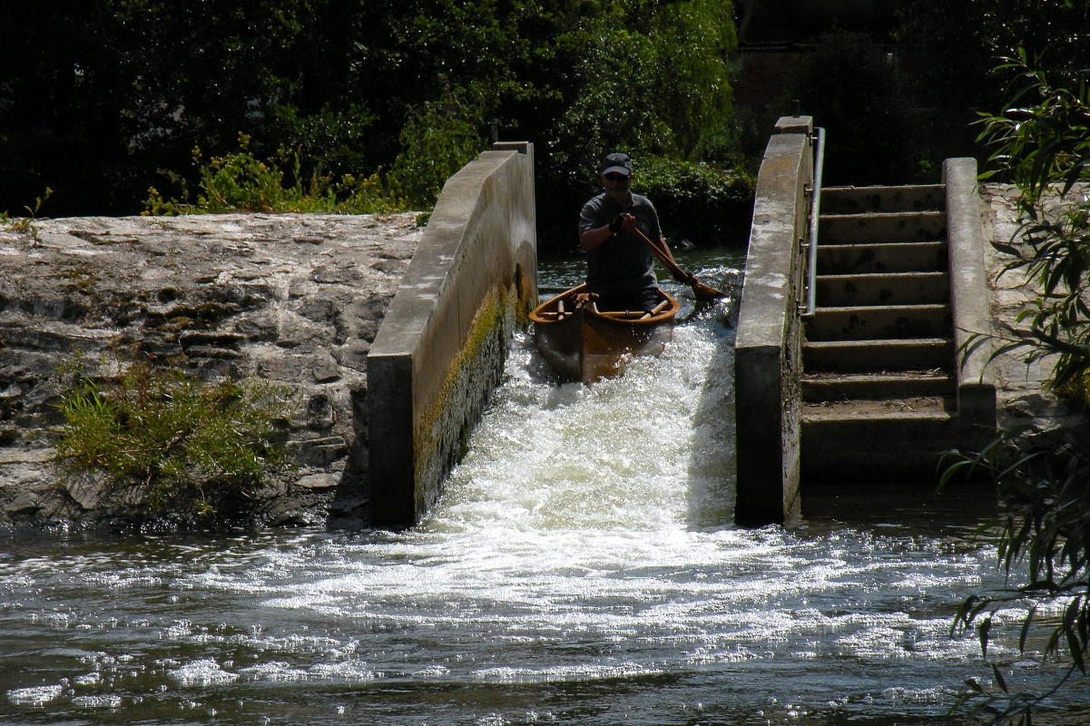
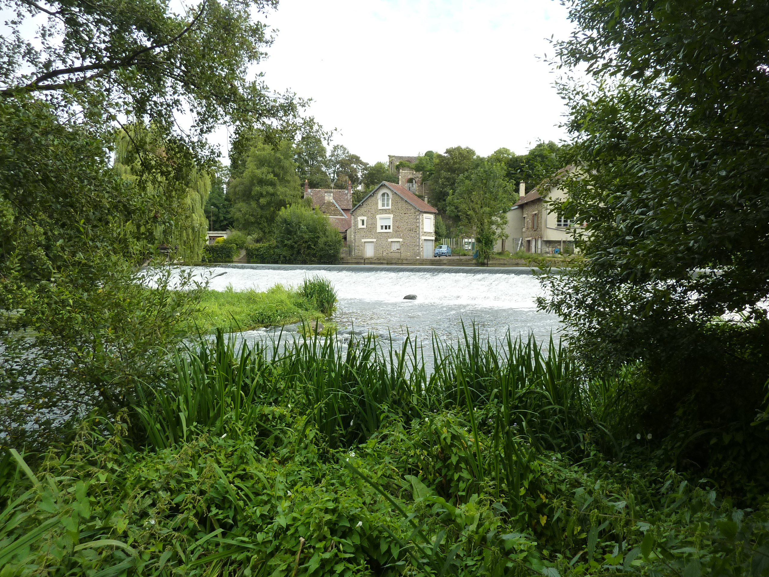
6 km – Le Moulin à papier right. Weir. Glissage left marked by buoys. The drop is about a metre and steep. Lots of hire canoe capsizes. We got swamped. The portage left is easy. The picture below is at moderately high water levels.

7.5 km – Barrage Le Bo. Despite an alarming sign on the right bank this is now just a broken weir with minimal drop.
8.5 km – Weir. La Bataille. The large gap left carries all the water at normal levels. Minimal drop. No problems. Shallows below.
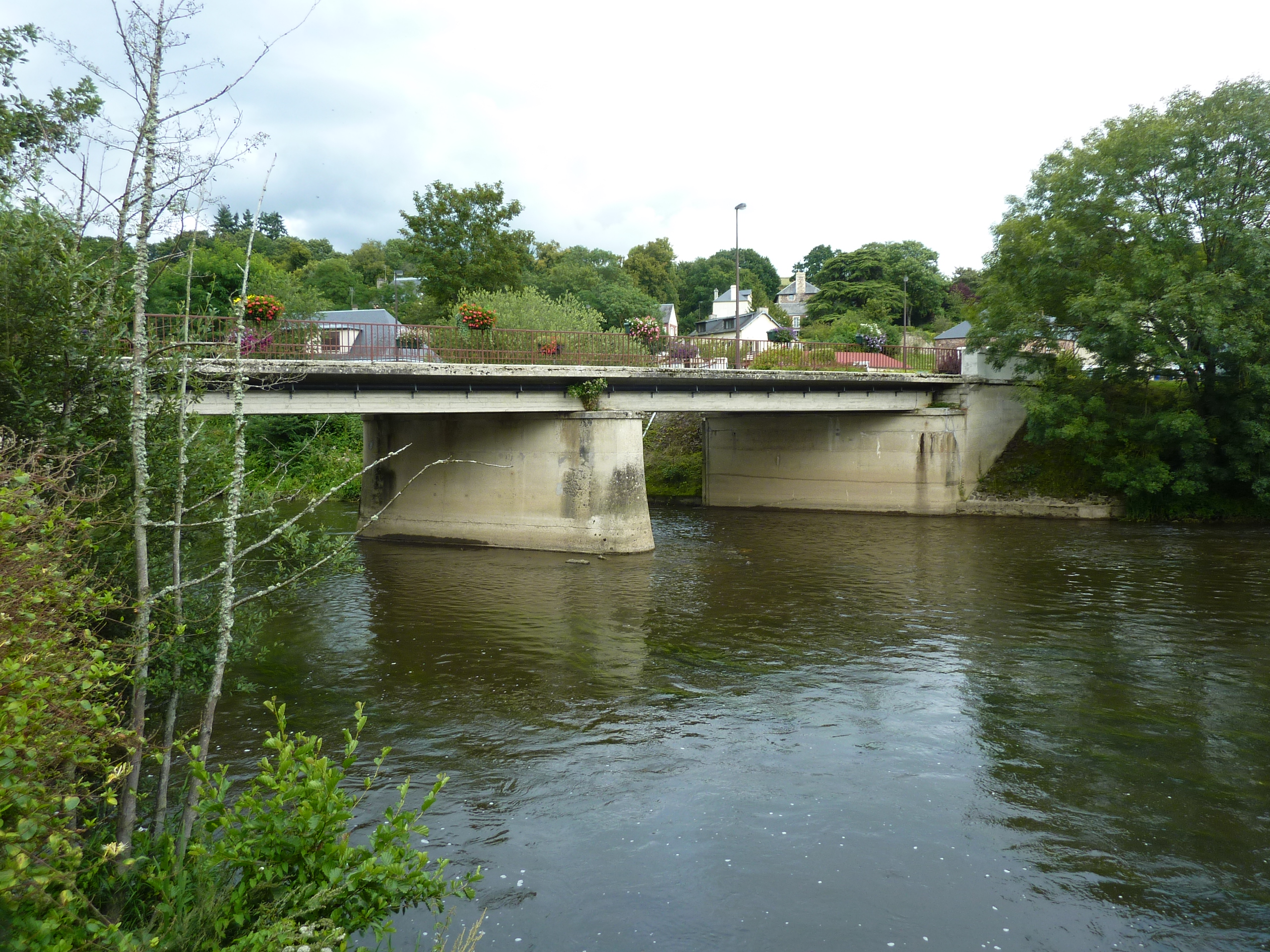
9 km – Pont La Sauvegarde
10.5 km – Weir. Two large gaps left. Minimal drop. Shallows below. Access left between weir and viaduct.
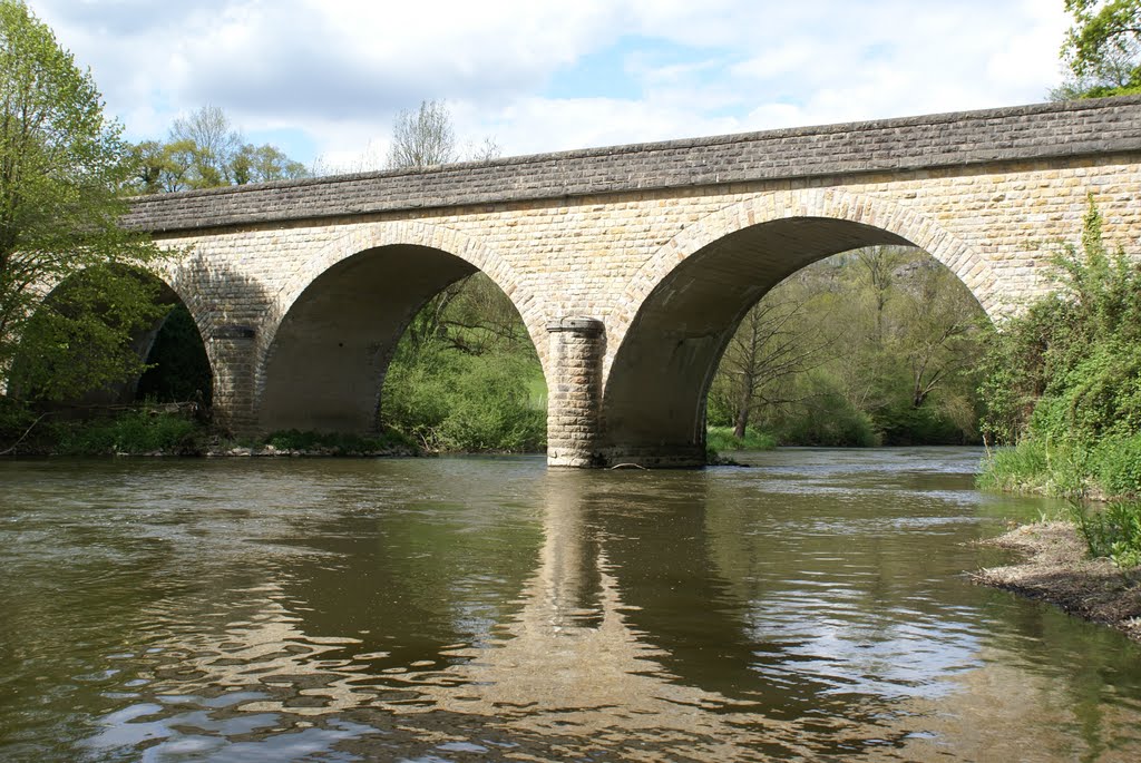
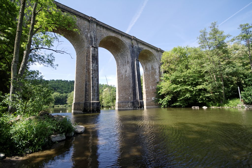
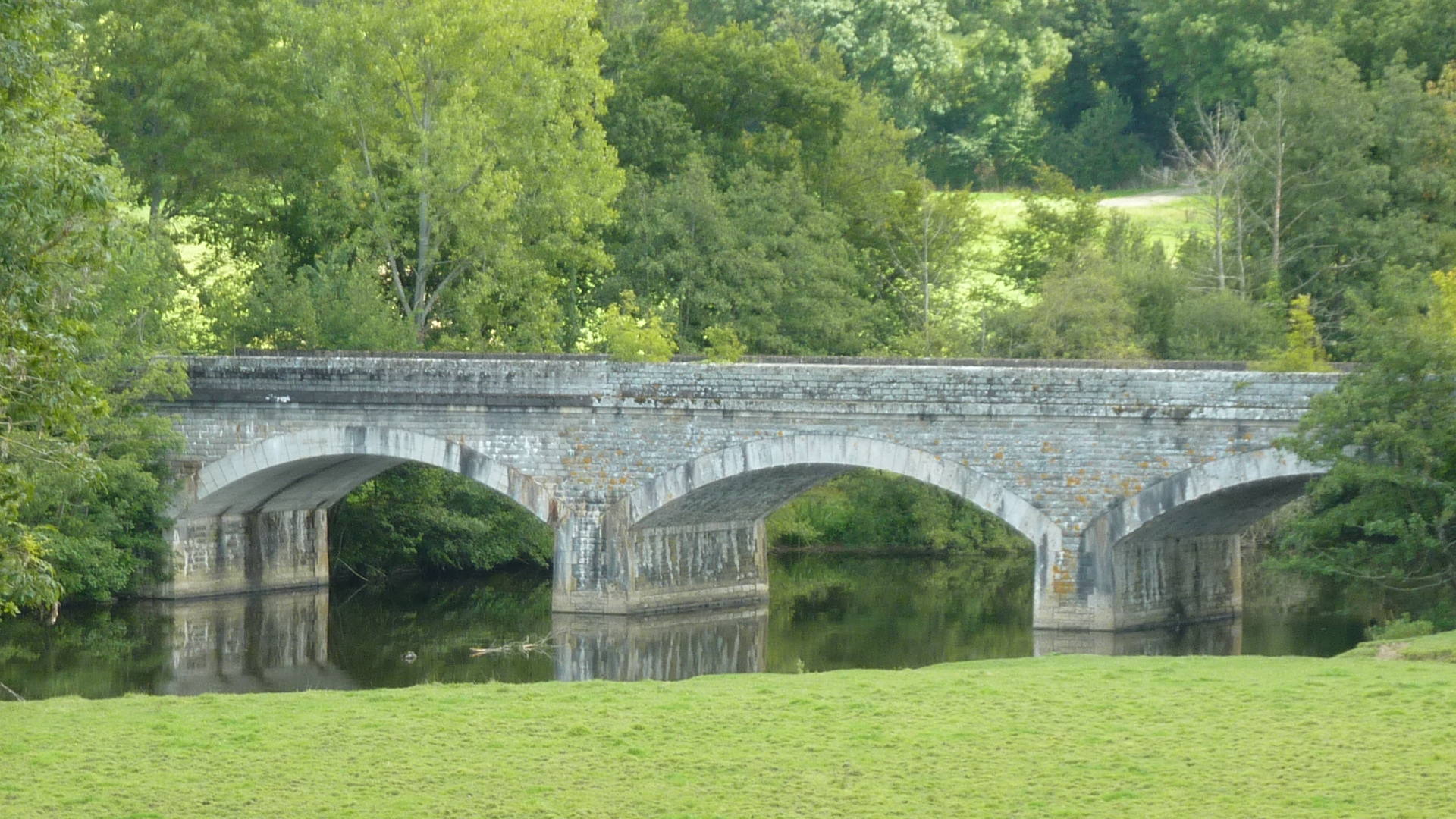
Clecy railway viaduct.
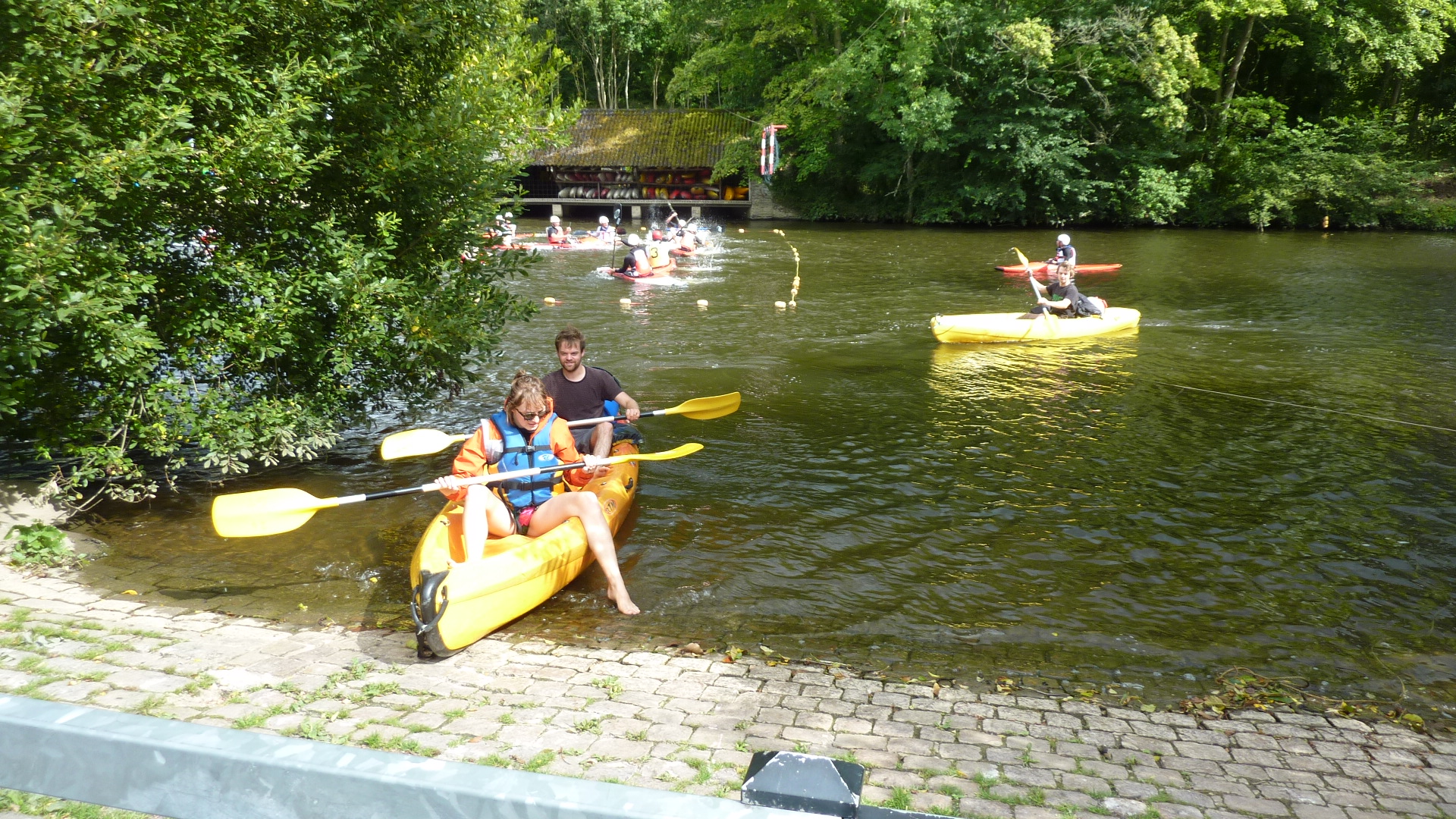
11 km – Clecy left. Tour companies, rock climbing, abseiling, coffee and ice cream, bars and restaurants. Camping right.
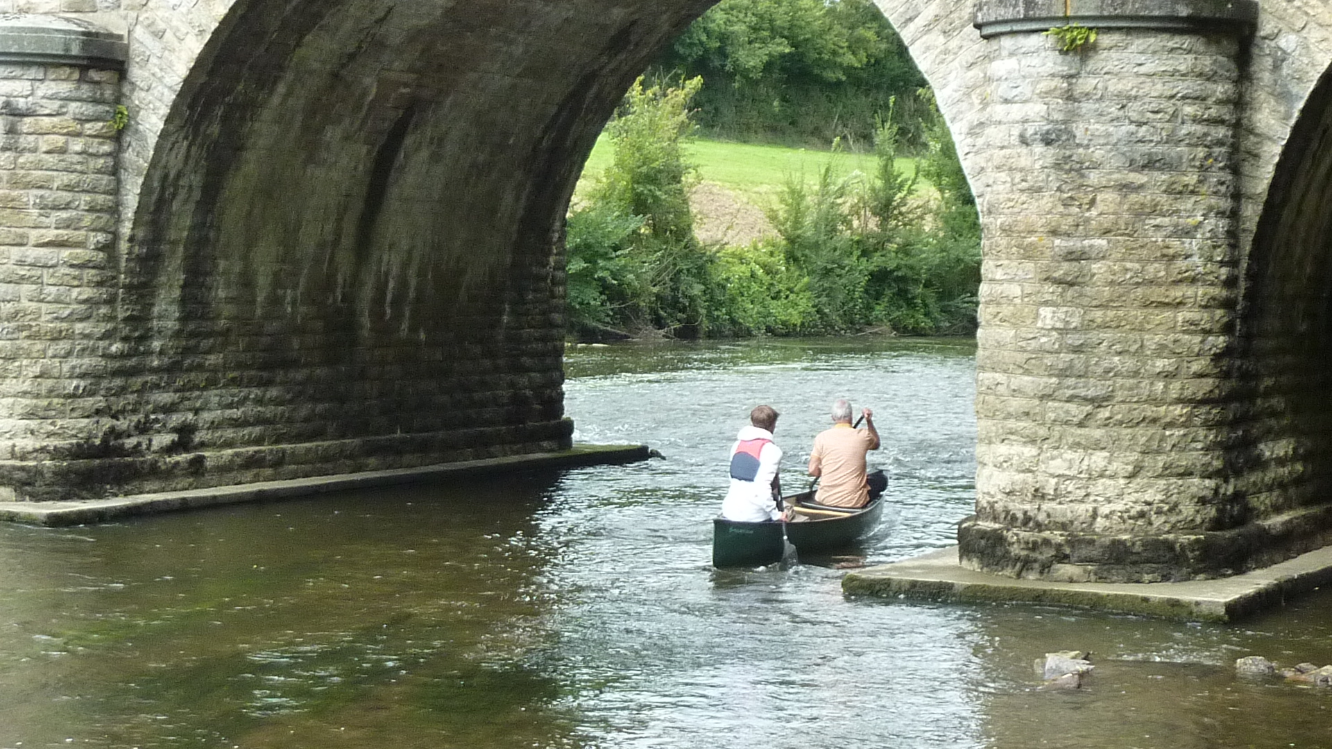
Weir. Tour boats shoot between the white buoys, but it’s a steep drop. I didn’t fancy it in my Canadian. Portage left.
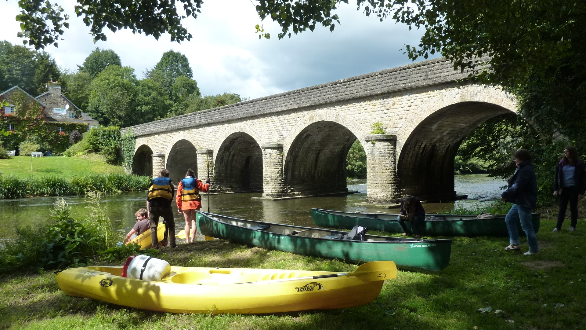
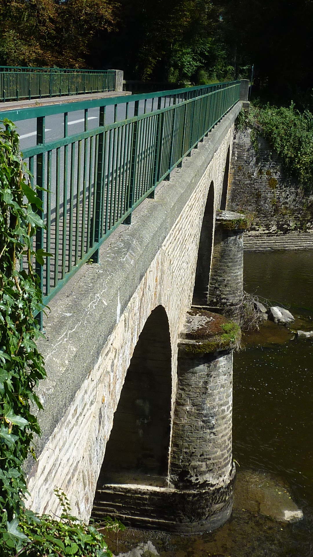
11.5 km – Clecy road bridge. Toll house left. Excellent access just above the bridge on the right.

12.5 km – island. Shallows.
13 km – Cantepie bridge. Shallows and small rapids above

14.5 km – Les Maison Rouges left. Broken weir. Easy shoot left
15.5 km – D562 bridge
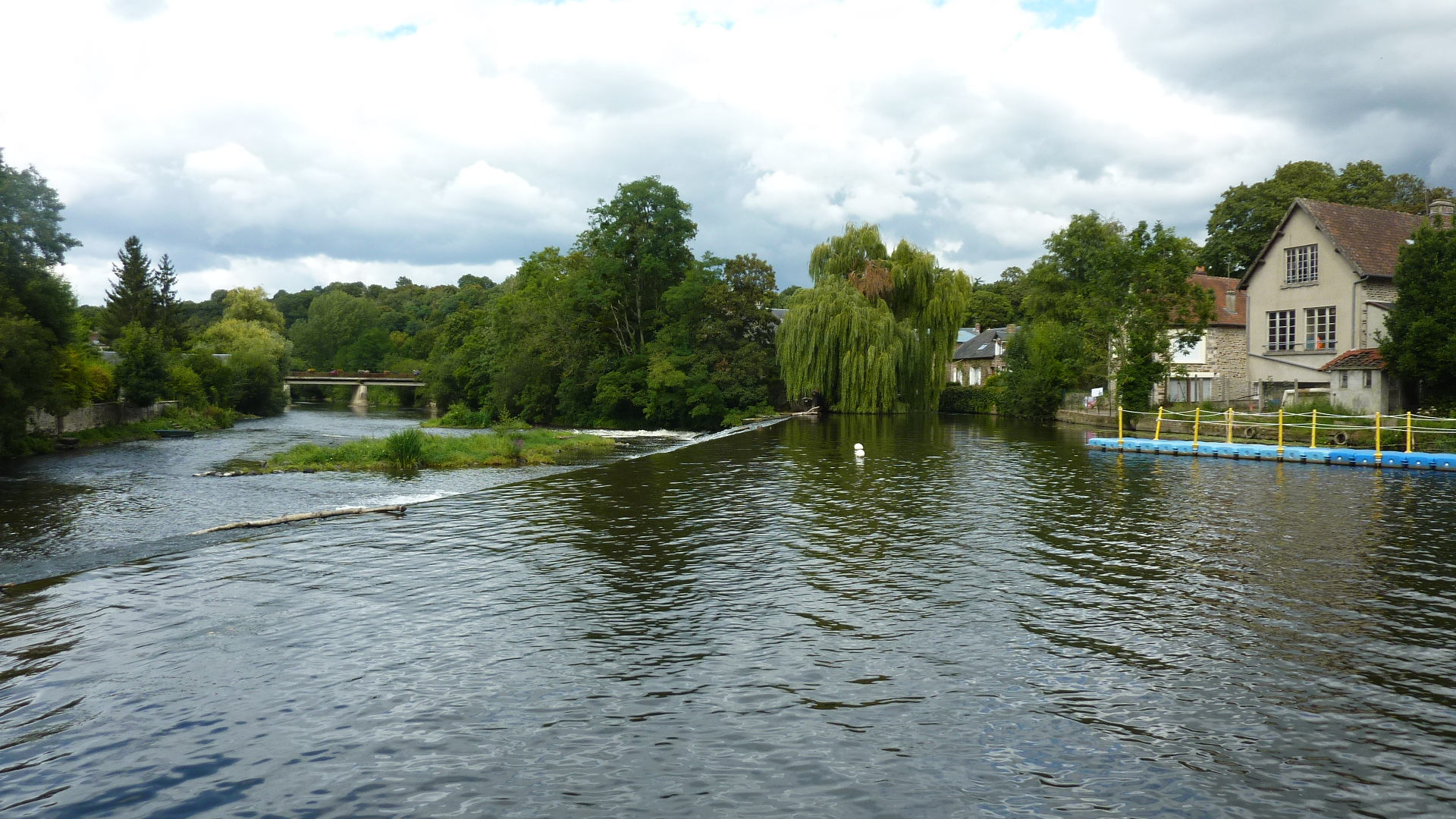
16 km – Island. Minor rapids. Pass left. Factory right. Until recently there was a large dam here. Click here for the story of its removal (in French).
18.5 km – Weir. Le Moulin du Pont left. Quite a big drop, but the slope on the angled glissade is shallow. Shootable for open canoes. The mill left is now a private residence; no chance of a portage through that garden.
19 km – Pont de la Mousse
19.5 km – Railway bridge. Shallows below.
21 km – Barrage Les Rivieres. Decent drop but the high-sided concrete shoot in the middle is gently sloping. OK for open canoes.
22 km – Broken weir. Minimal drop. Easy shoot left or right.
23 km – Railway bridge
24 km – Camping left. Thury Harcourt canoe club right. Land left or right above the weir. We stopped here. The weir looked to be too steep to shoot safely in an open canoe.
24.5 km – Thury Harcourt bridge
Jim Thornton. August 2014
