Canoeing the Oxford Circuit with Iris Murdoch
River Thames & Oxford Canal
Iris Murdoch lived in or near Oxford for over 50 years, and almost all her novels involve some sort of ordeal by water, albeit none in the upper reaches of the Thames. She knew the river and canal well.
On November 3rd 1952, at the height of their brief love affair – he died 16 days later – she walked in Port Meadow with the anthropologist Franz Steiner (more about him here). In June 1953 she moved to a basement flat at 24 Southmoor road, the house owned by the controversial radiation and cancer epidemiologist Alice Stewart (more about her here), and acquired a canoe; she surely paddled this route. Later still she and her husband John Bayley skinny dipped near the A34 bypass bridge.
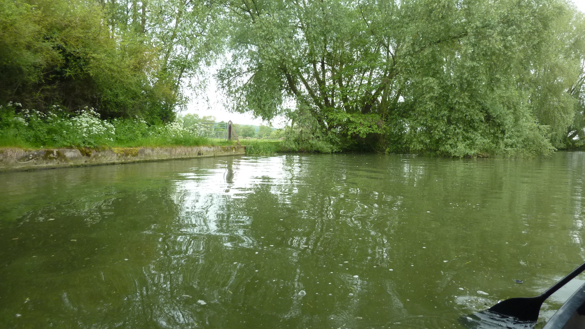
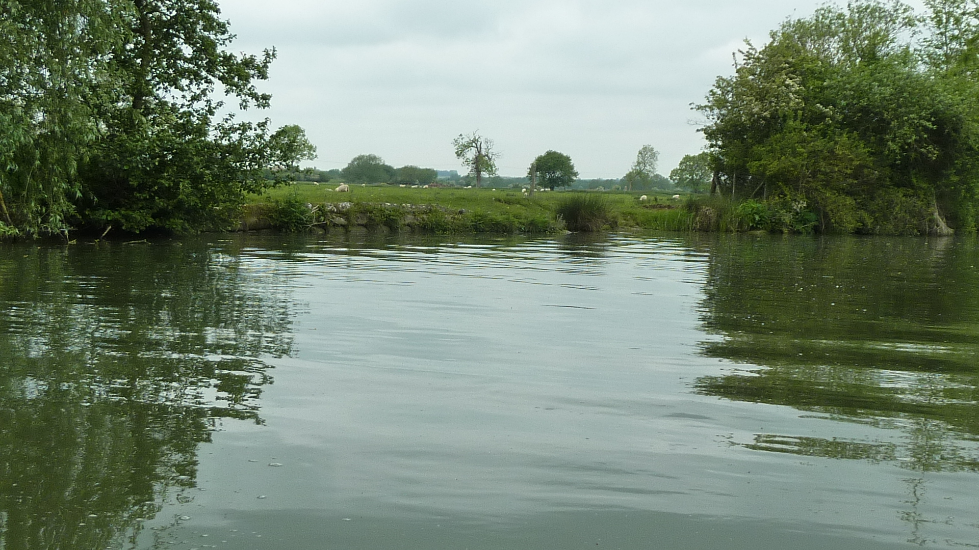
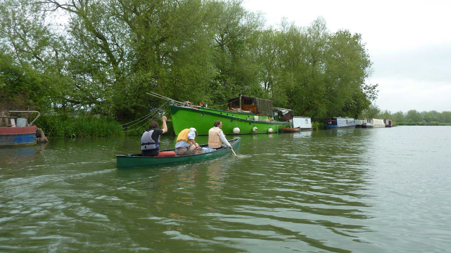
The free car park, between Wolvercote village and Godstow has access to the eastern channel below the weirs. Paddle past the Trout Inn channel to turn up the main stream and enter Godstow lock.
0 miles – Port Meadow car park
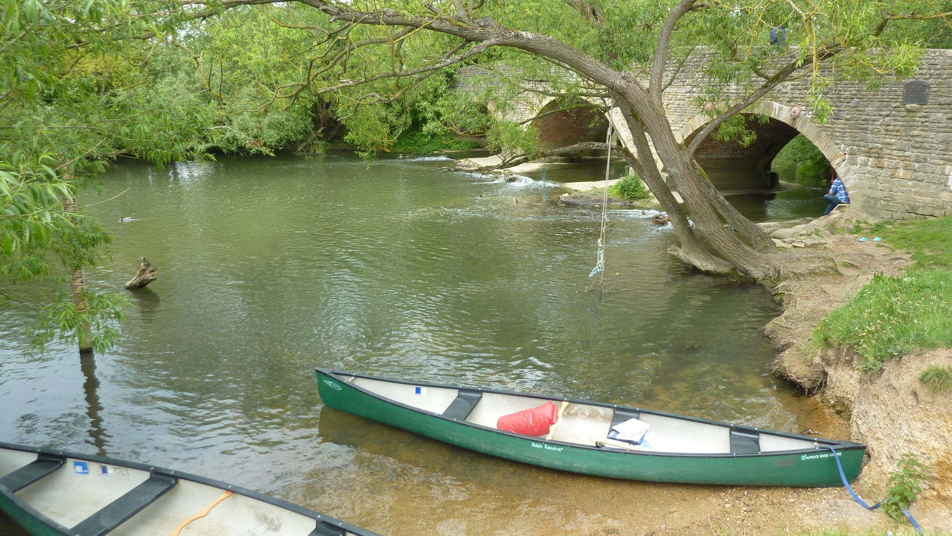
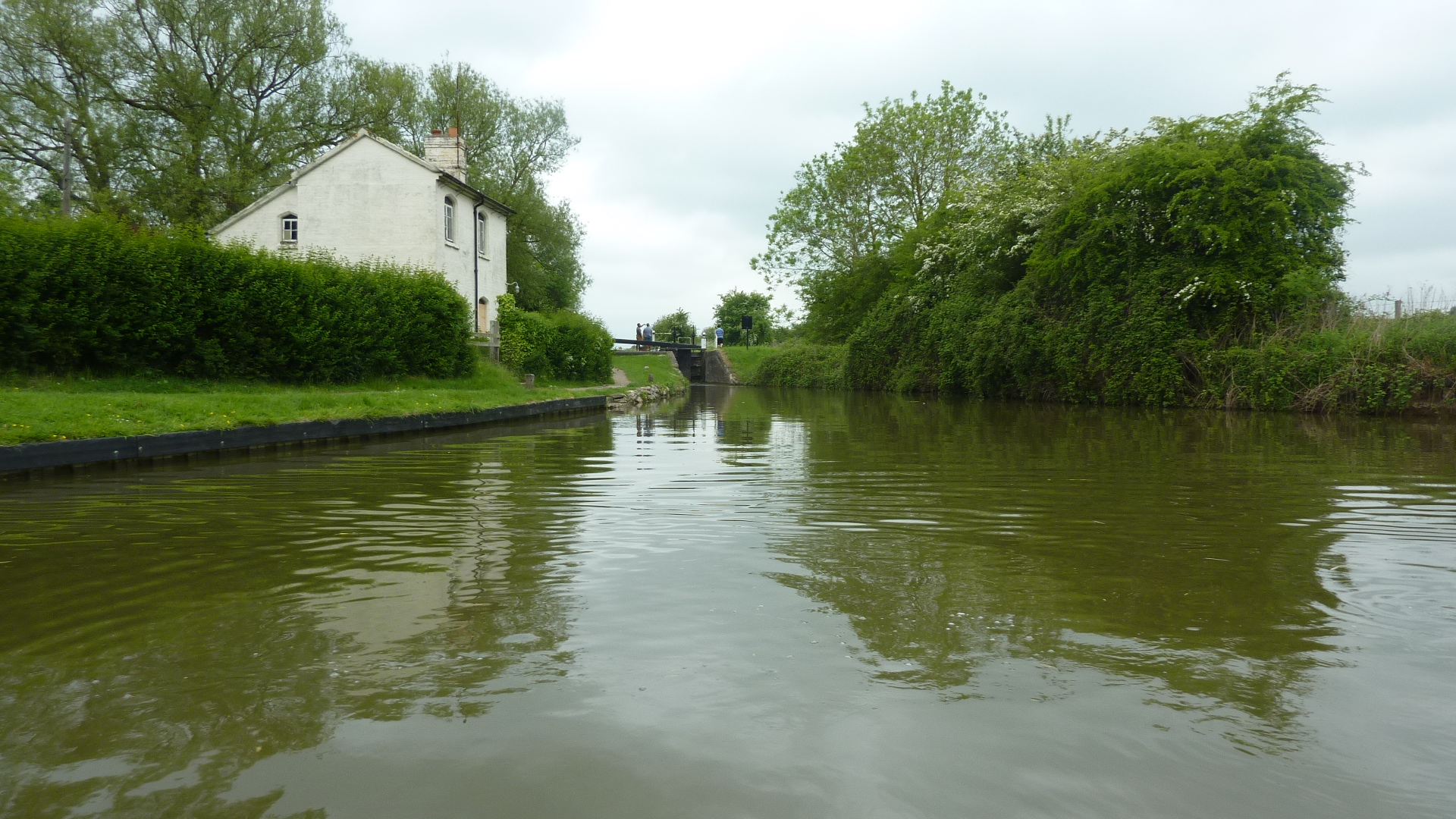
0.2 miles – Godstow lock
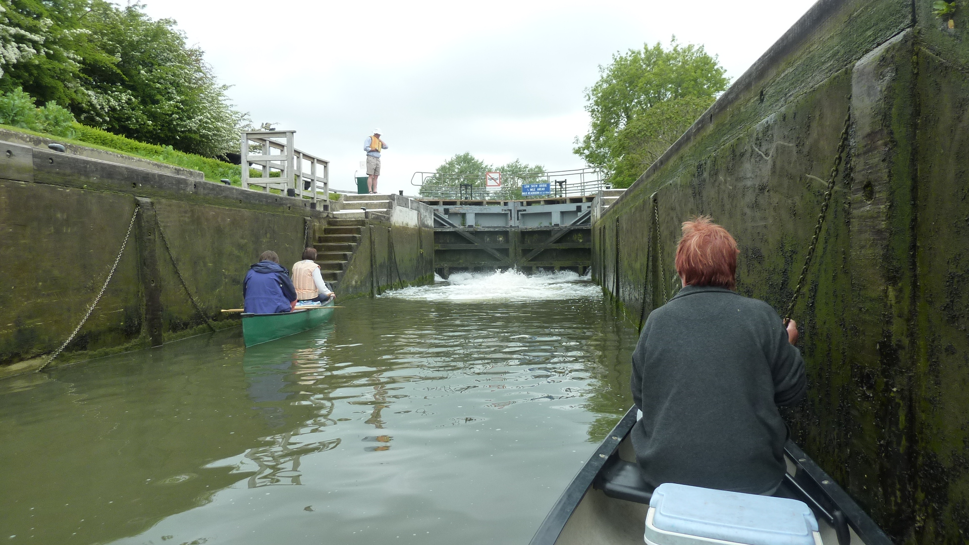
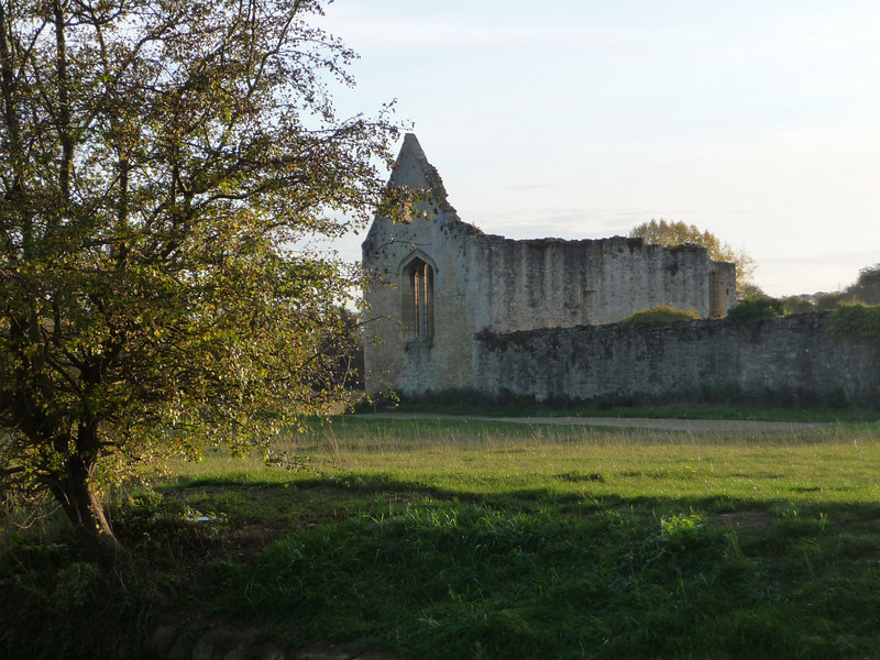
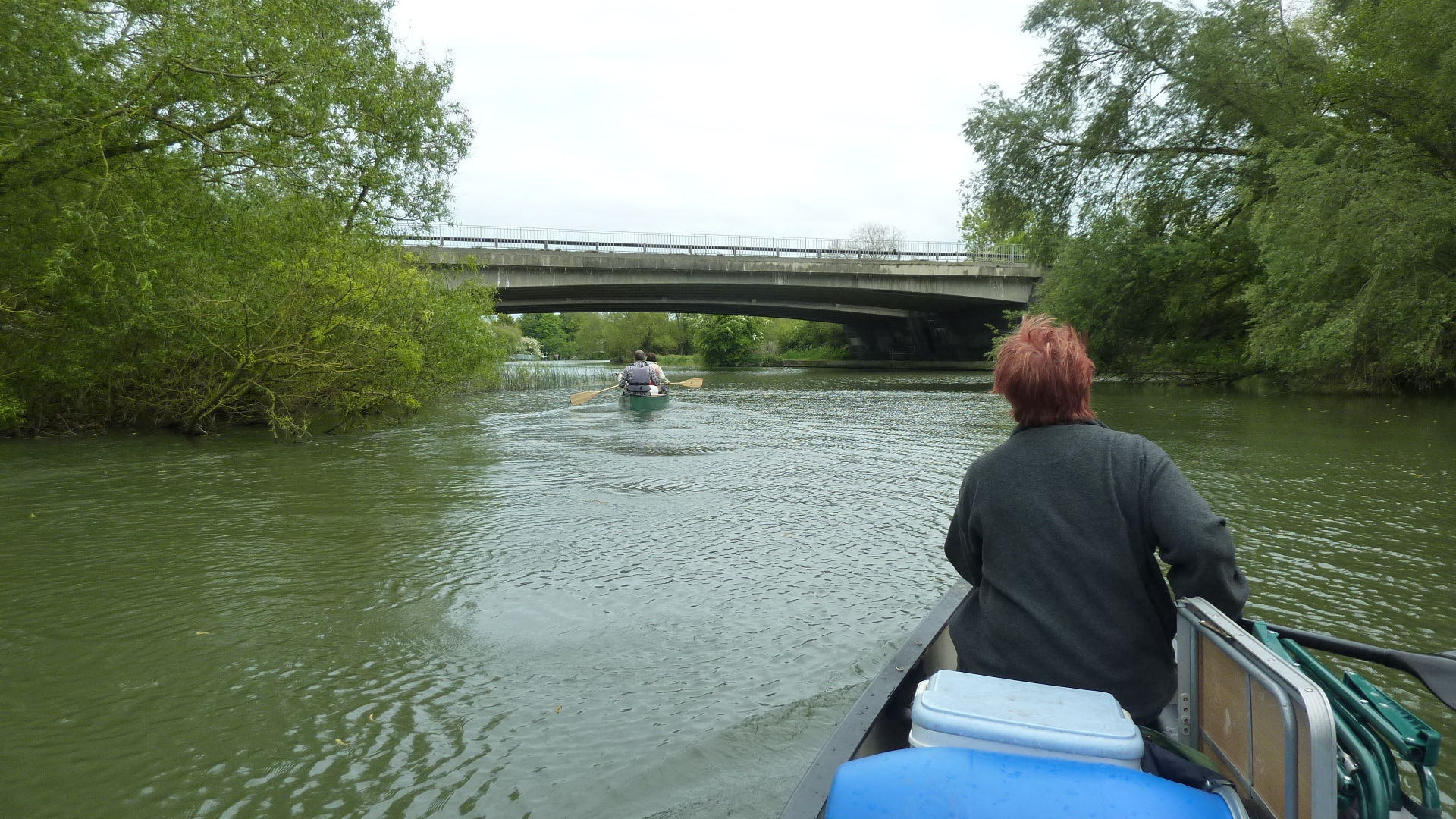
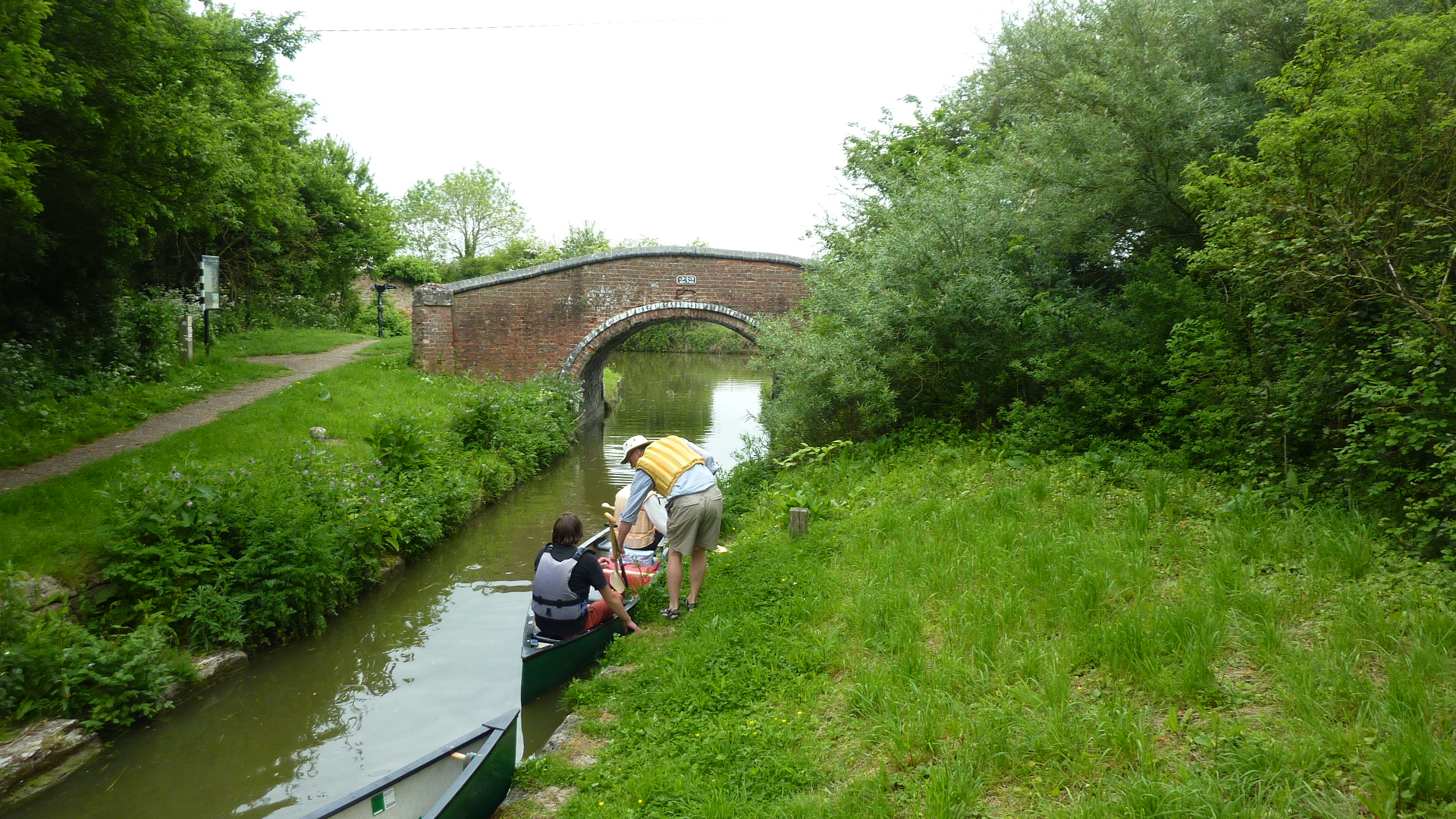
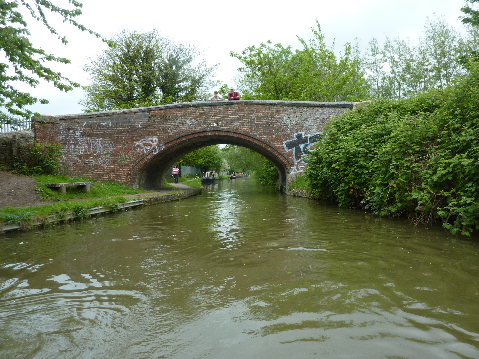
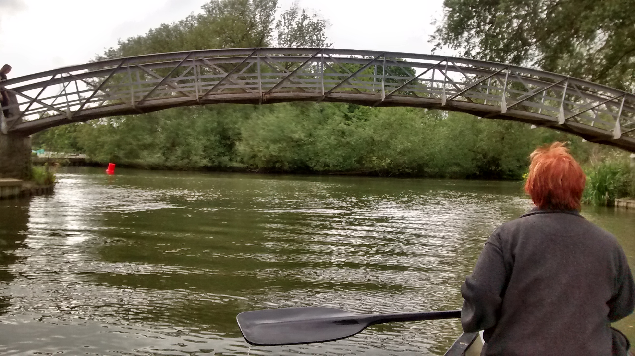
0.25 miles – Godstow bridge. Scarred by motorboat collisions! Abbey left.

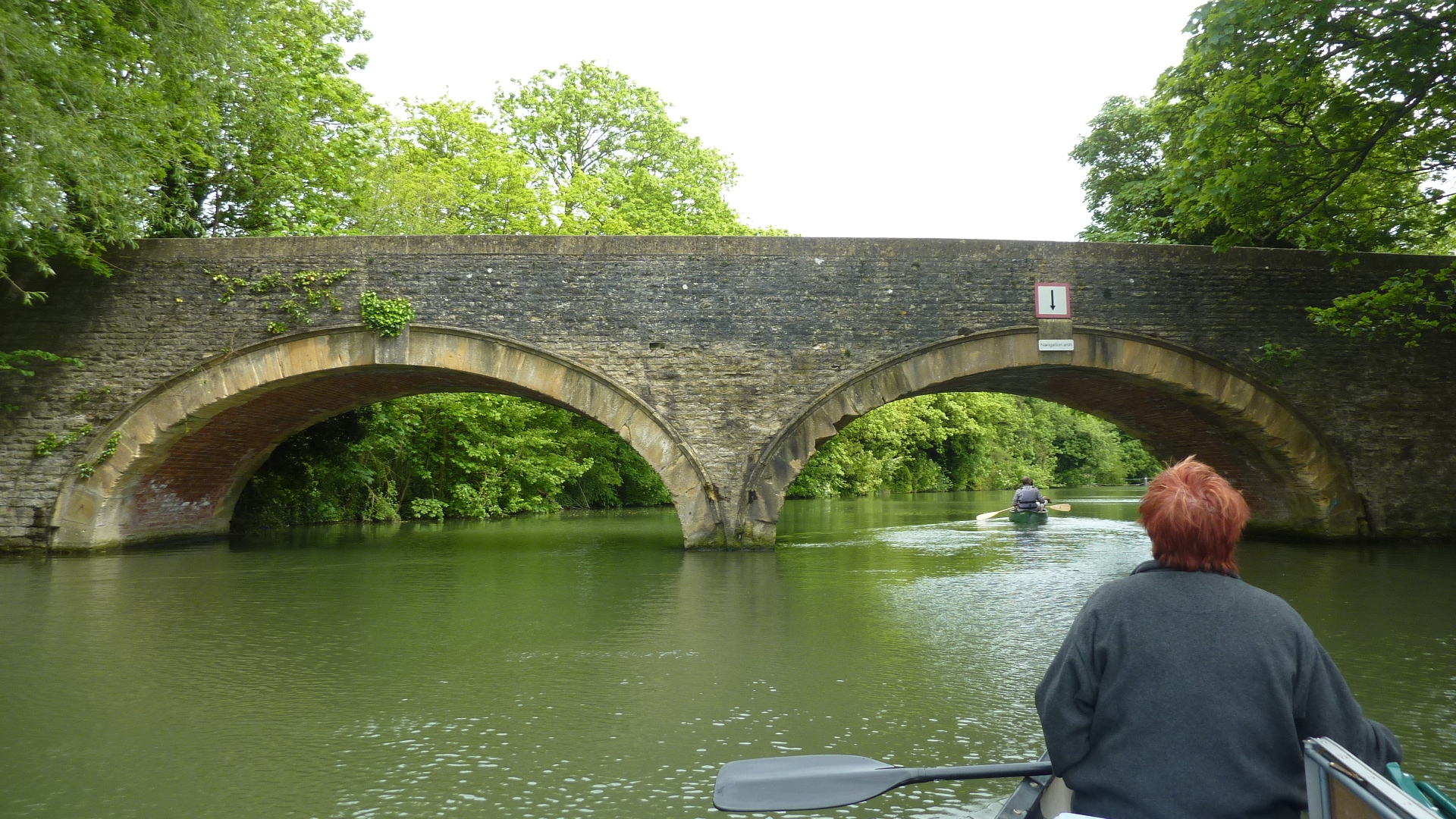
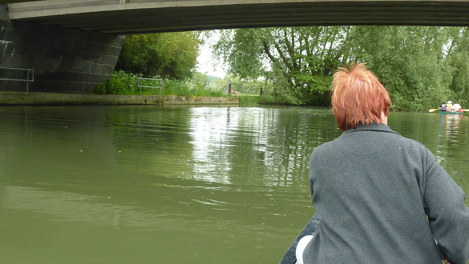
0.4 miles – A34 bypass bridge
Elegy for Iris, (p1) by John Bayley:
“For years now we’ve usually managed a treat for ourselves on really hot days at home in the summer. We take the car along the bypass road from Oxford, for a mile or two, and twist abruptly off onto the verge – quite a tricky feat with fast-moving traffic just behind. Sometimes there are hoots and shouts from passing cars which have to brake at speed, but by that time we have jolted to a stop on tussocky grass, locked the car, and crept through a gap in the hedge.
I remember the first time we did it, nearly forty-five years ago. We were on bicycles then and there was little traffic on the unimproved road. Nor did we know where the river was exactly; we just thought it must be somewhere there. And with the ardour of comparative youth we wormed our way though the rank grass and sedge until we almost fell into it. Crouching in the shelter of the reeds, we tore our clothes off and slipped in like water rats. A kingfisher flashed past our noses as we lay soundlessly in the dark, sluggish current. A moment after we had crawled out and were drying ourselves on Iris’s half slip a big pleasure boat chugged past within a few feet of the bank. The steersman, wearing a white cap, gazed intently ahead.Tobacco smoke mingled with the watery smell at the foot of the tall reeds.”
Possible spots?
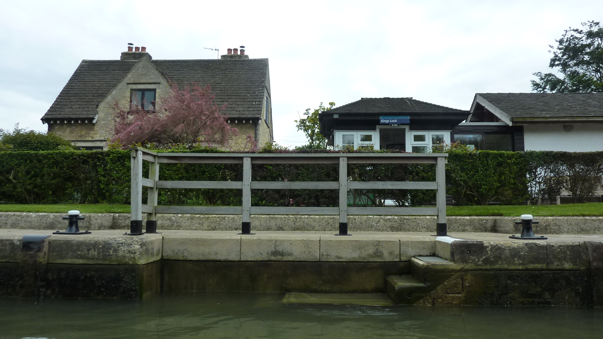
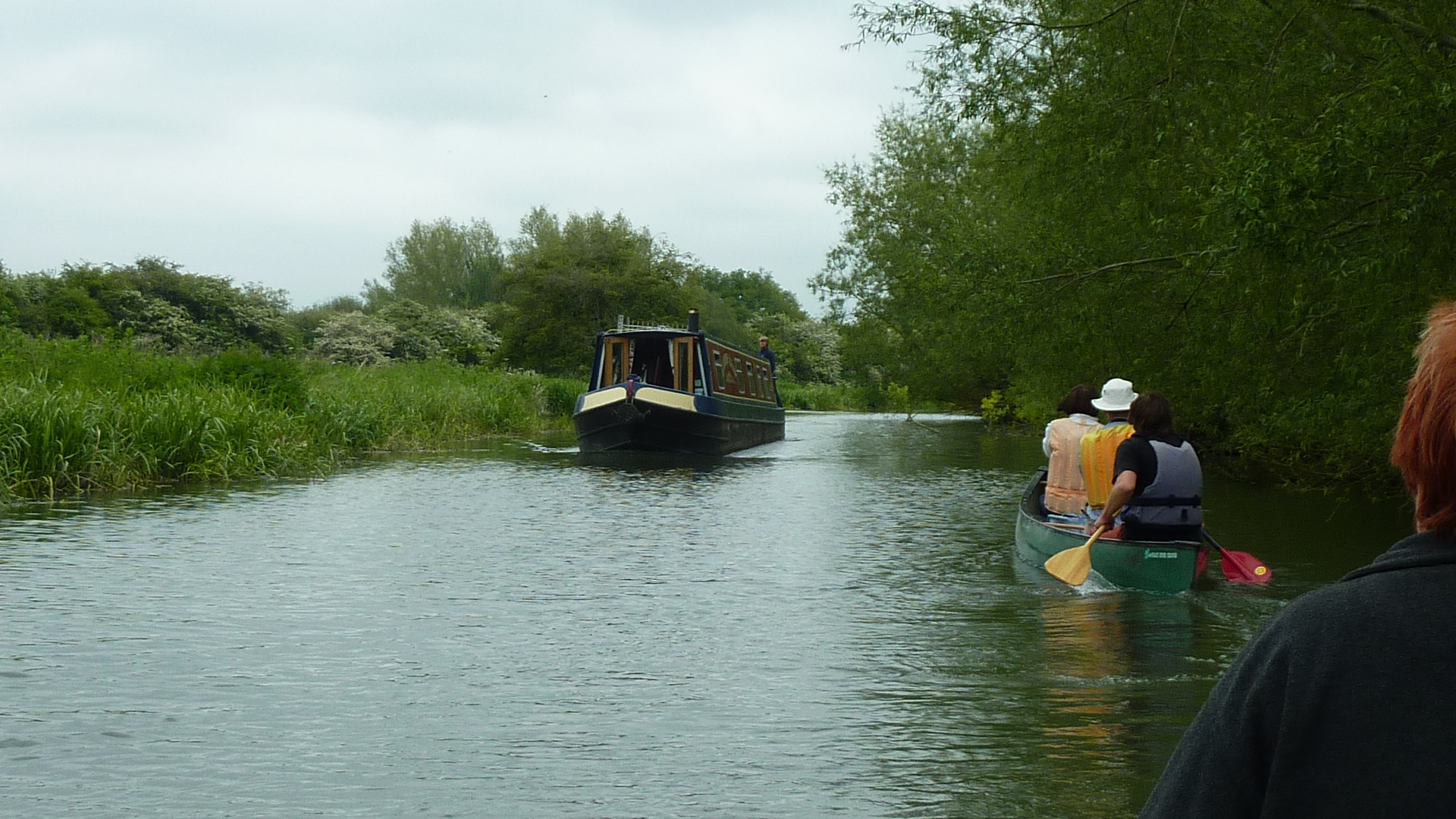
1 mile – Kings lock
Just upstream of the lock, “Duke’s cut” leaves right.
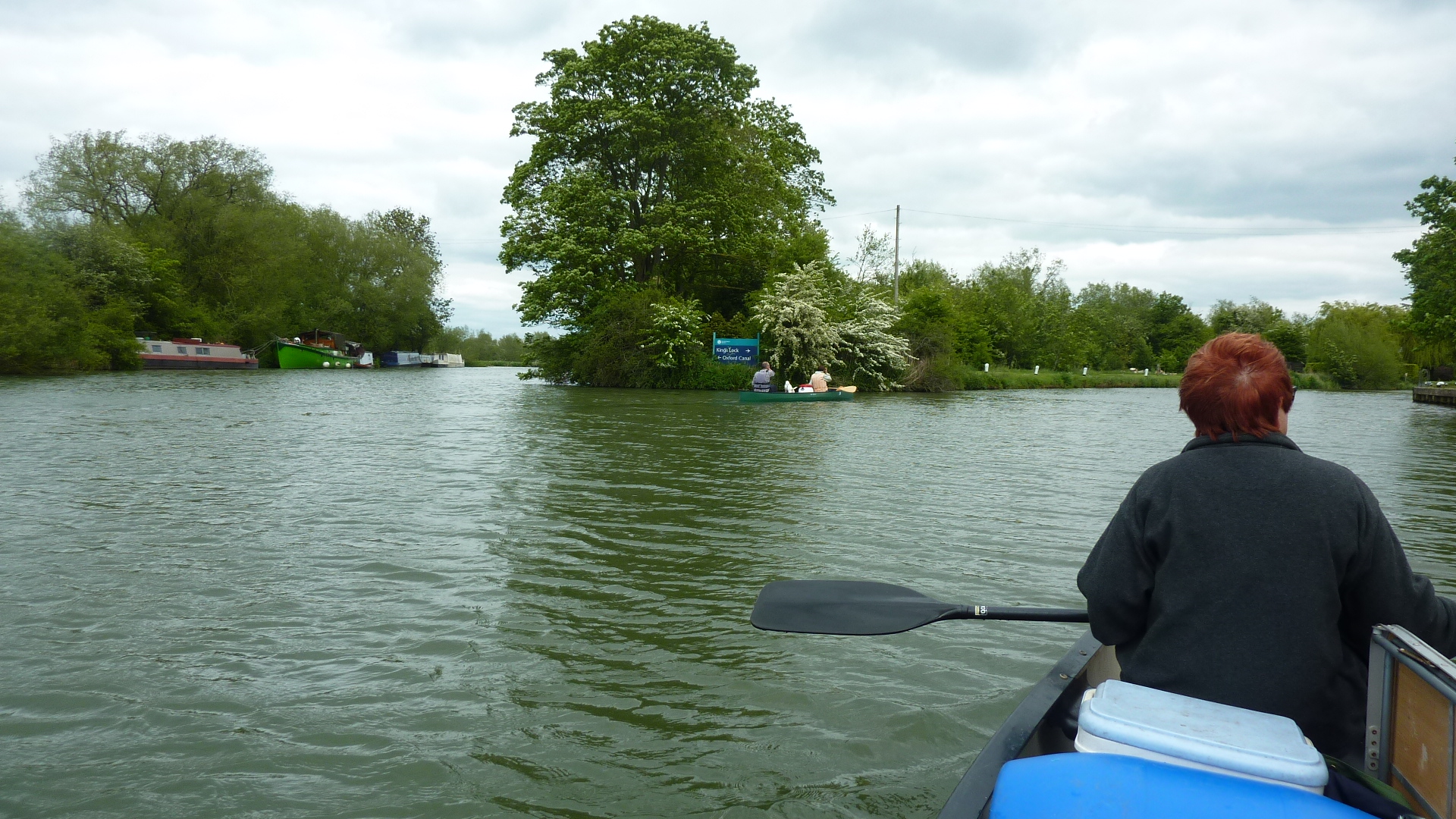
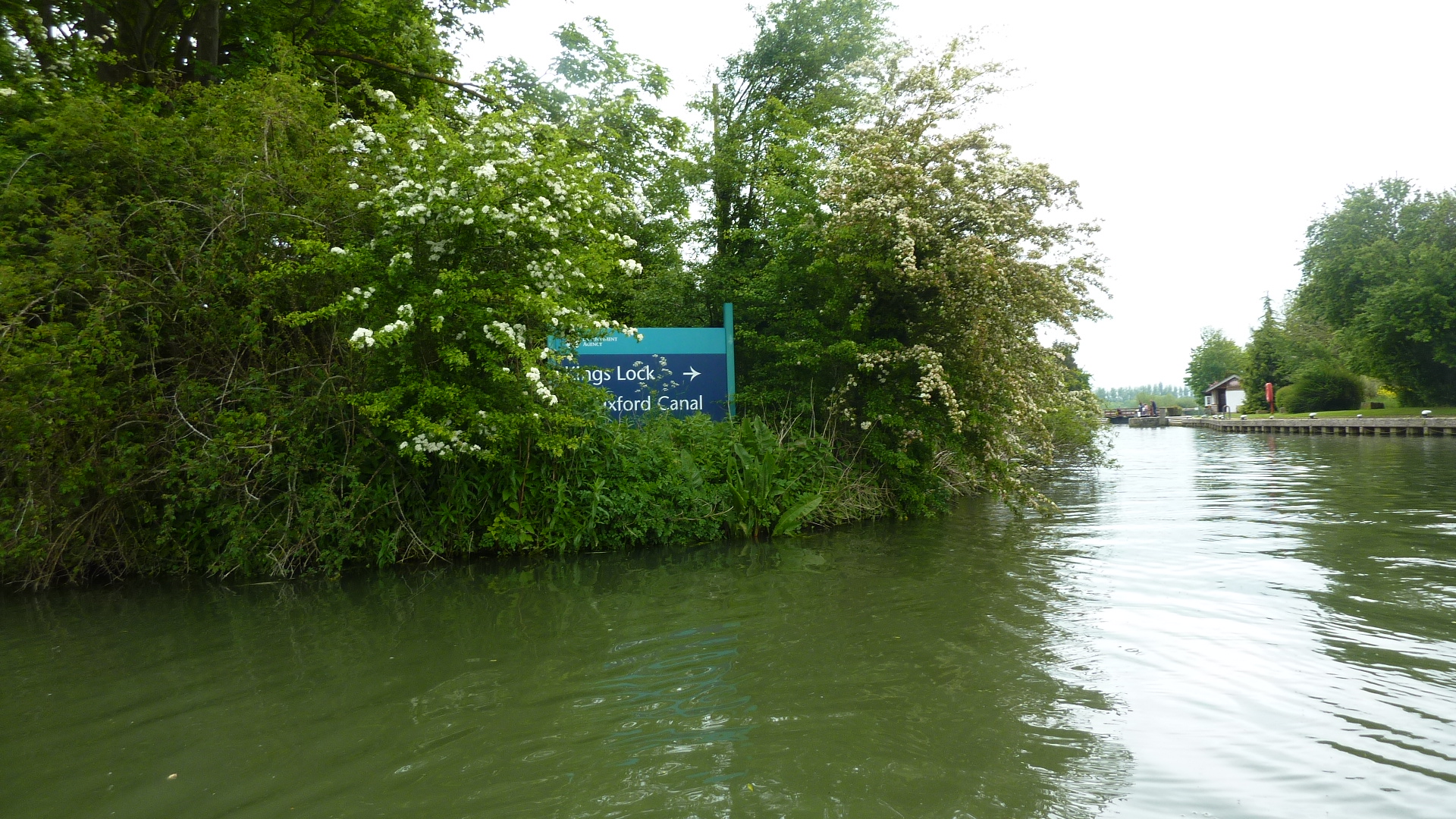
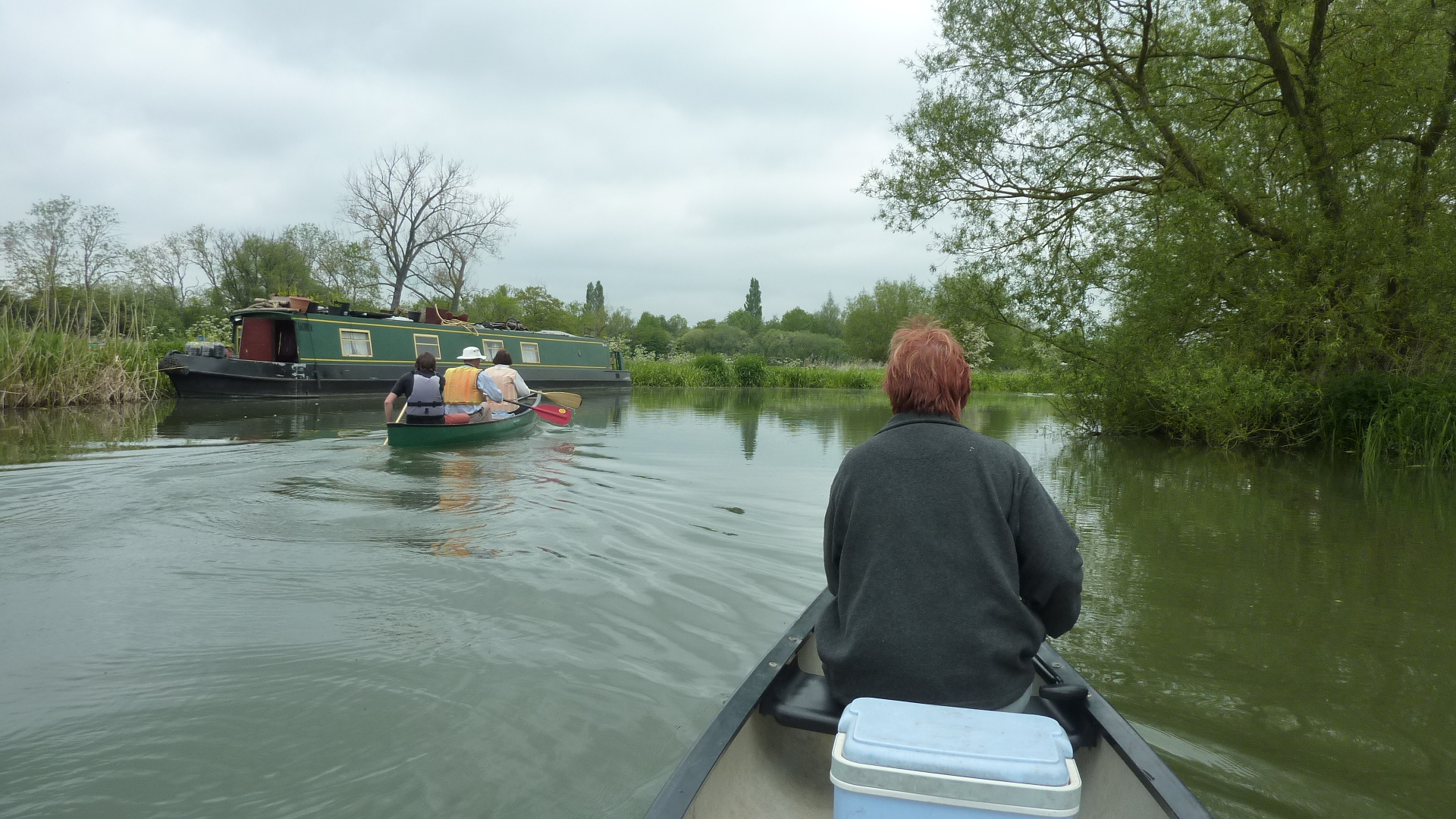
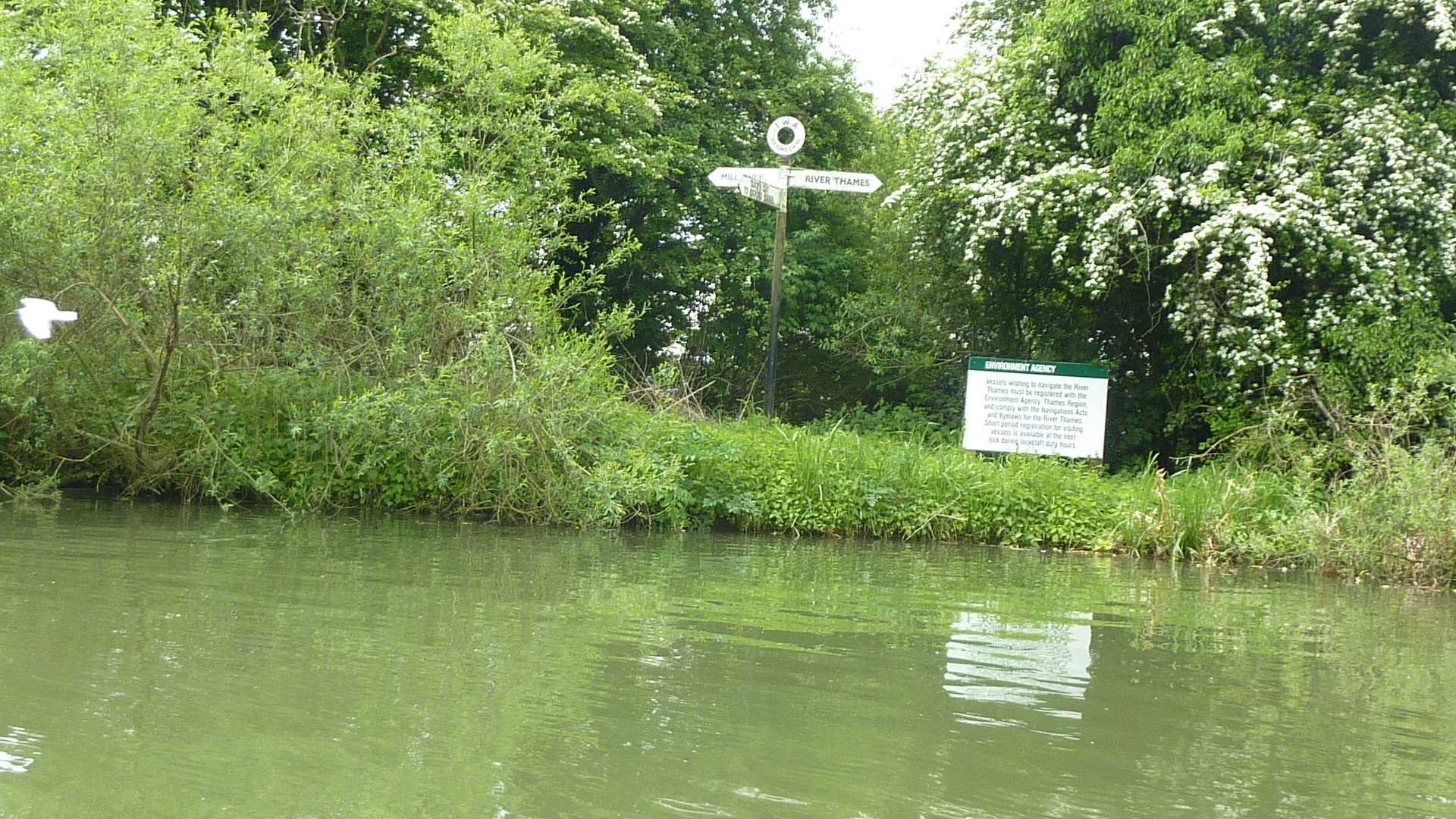
1.5 miles – junction with the eastern Thames stream. Keep left. Follow the signpost.
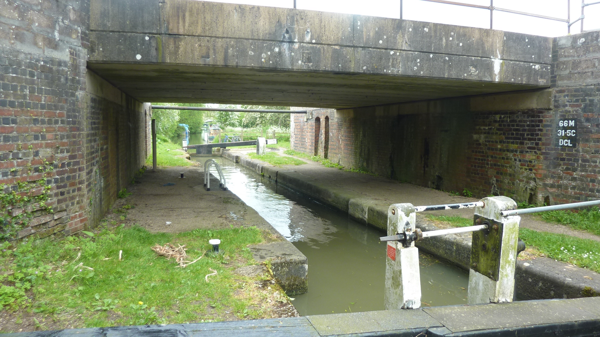
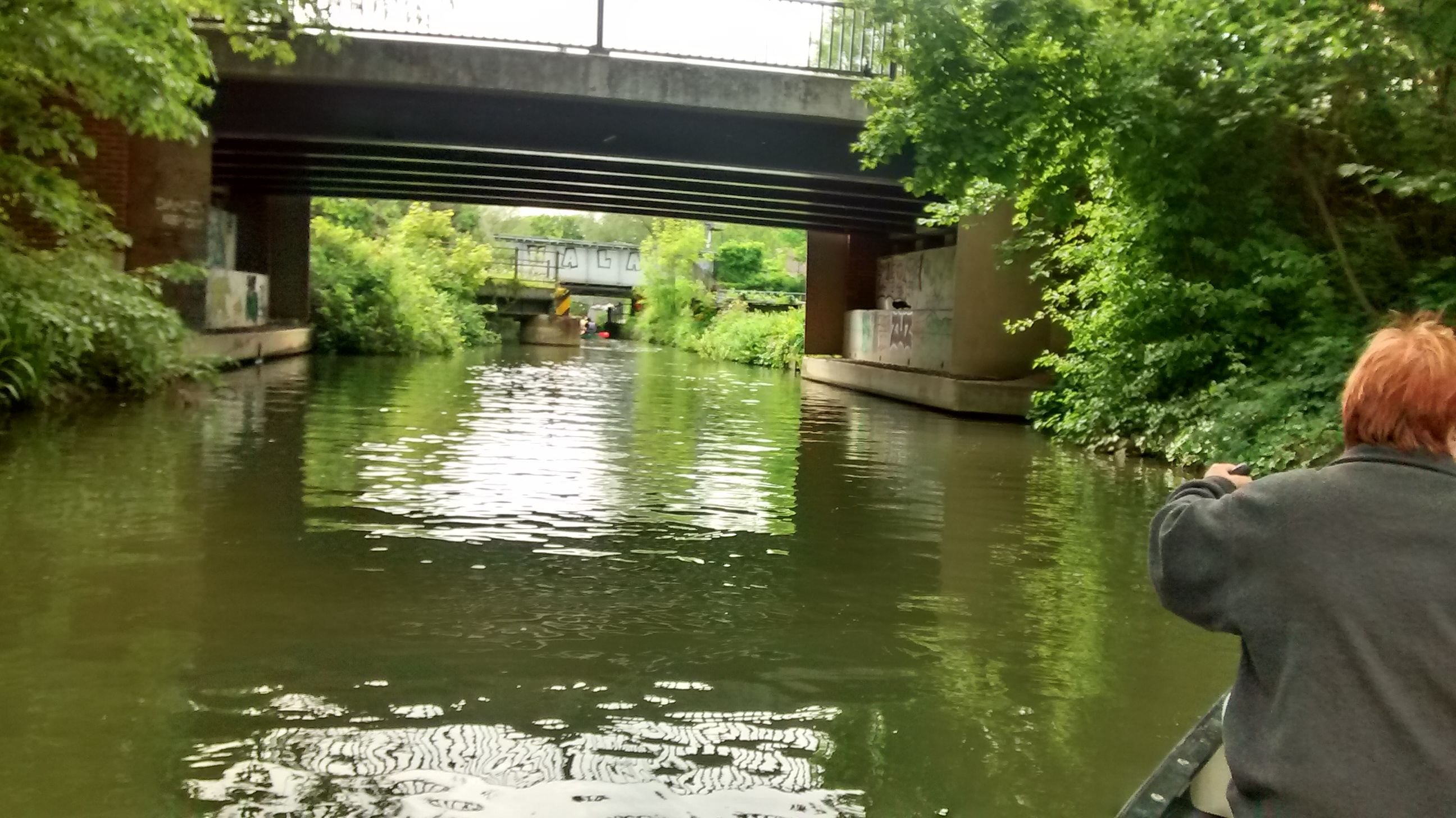
1.7 miles – A40 bridge followed by railway bridge over Duke’s cut lock
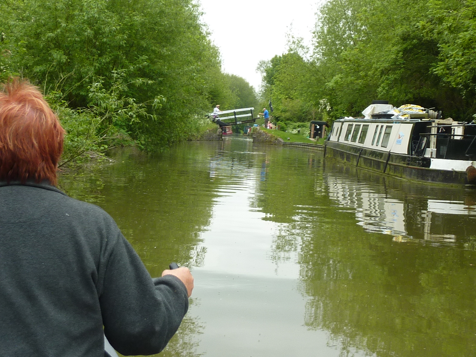
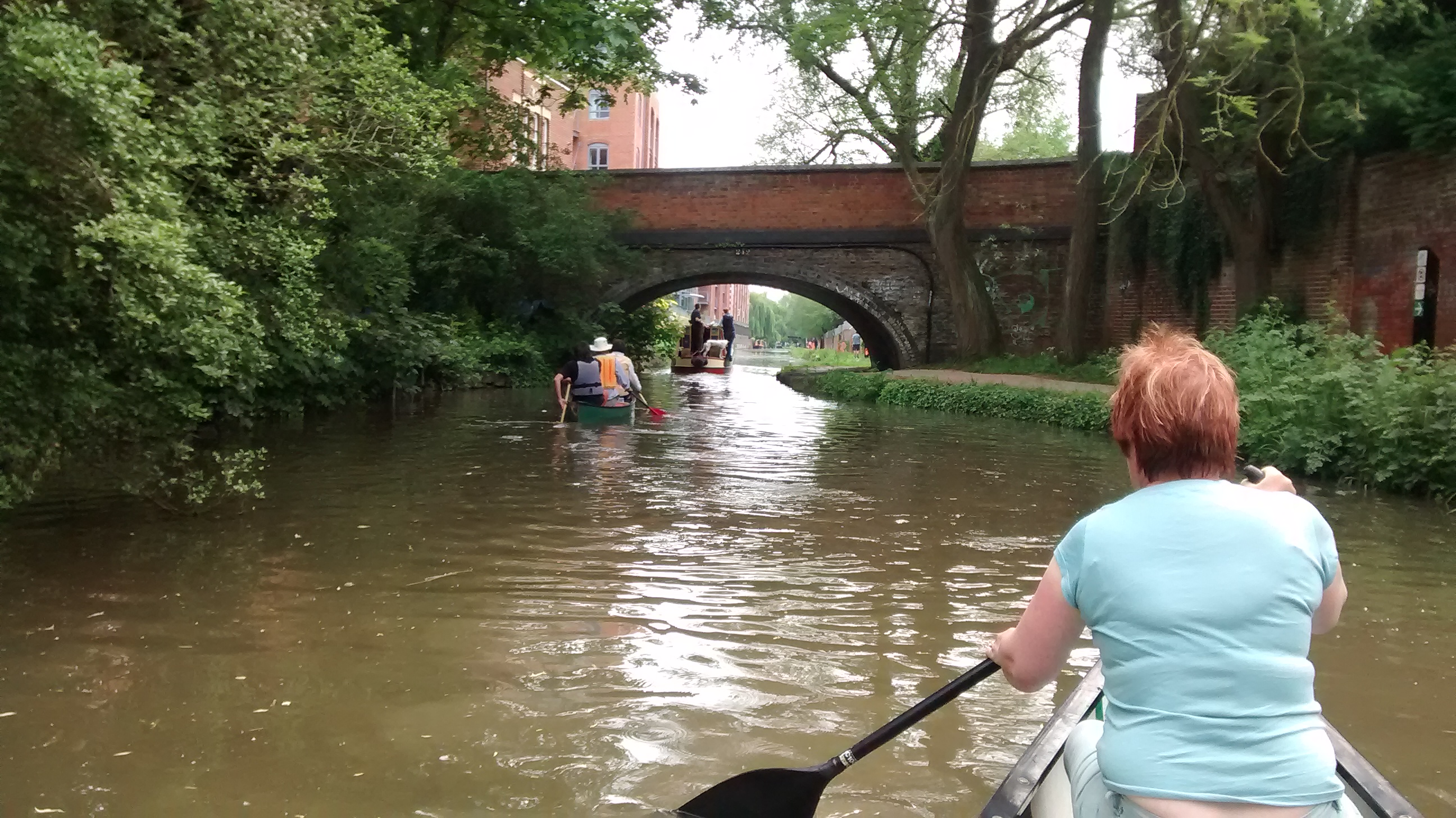
1.8 miles – towpath bridge followed by junction with the Oxford canal. Turn right.
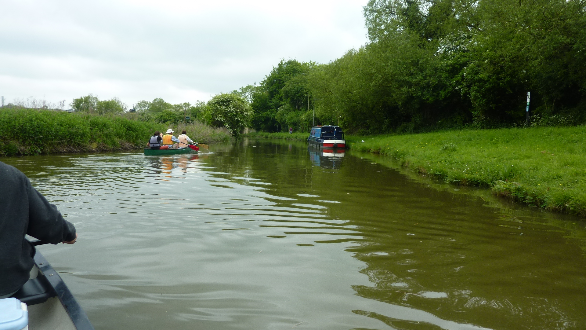
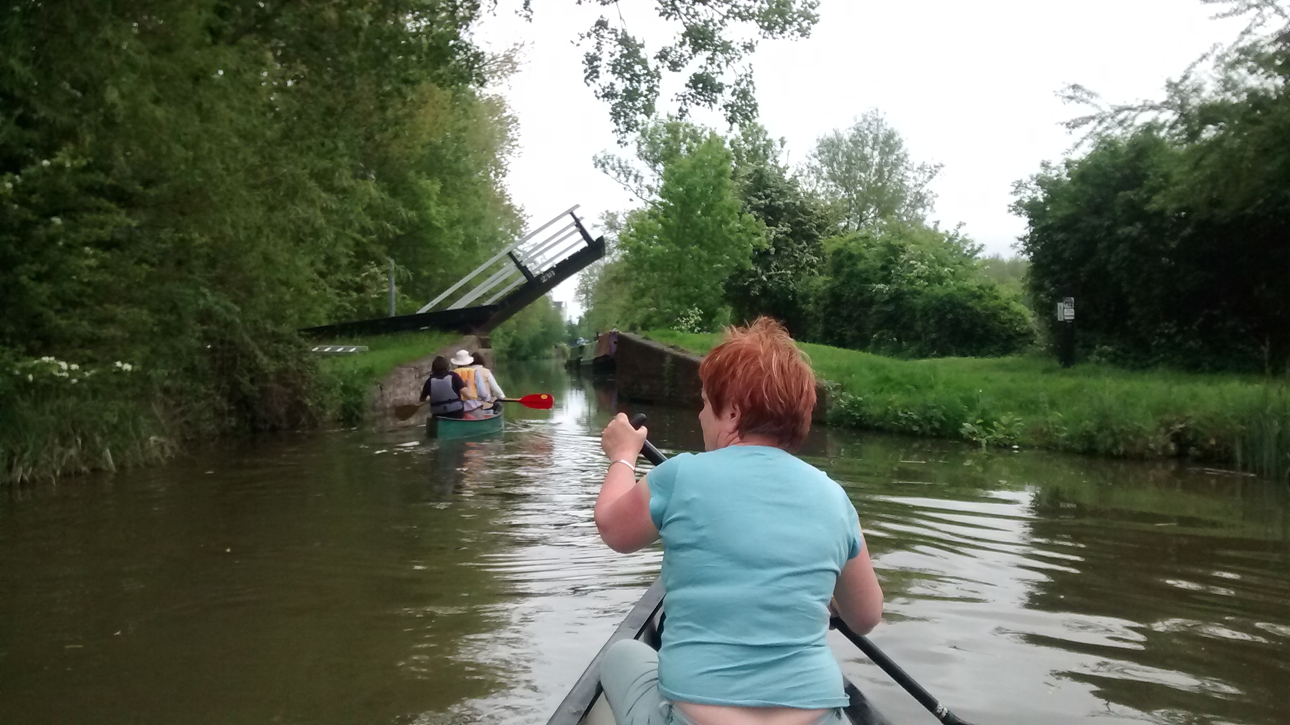
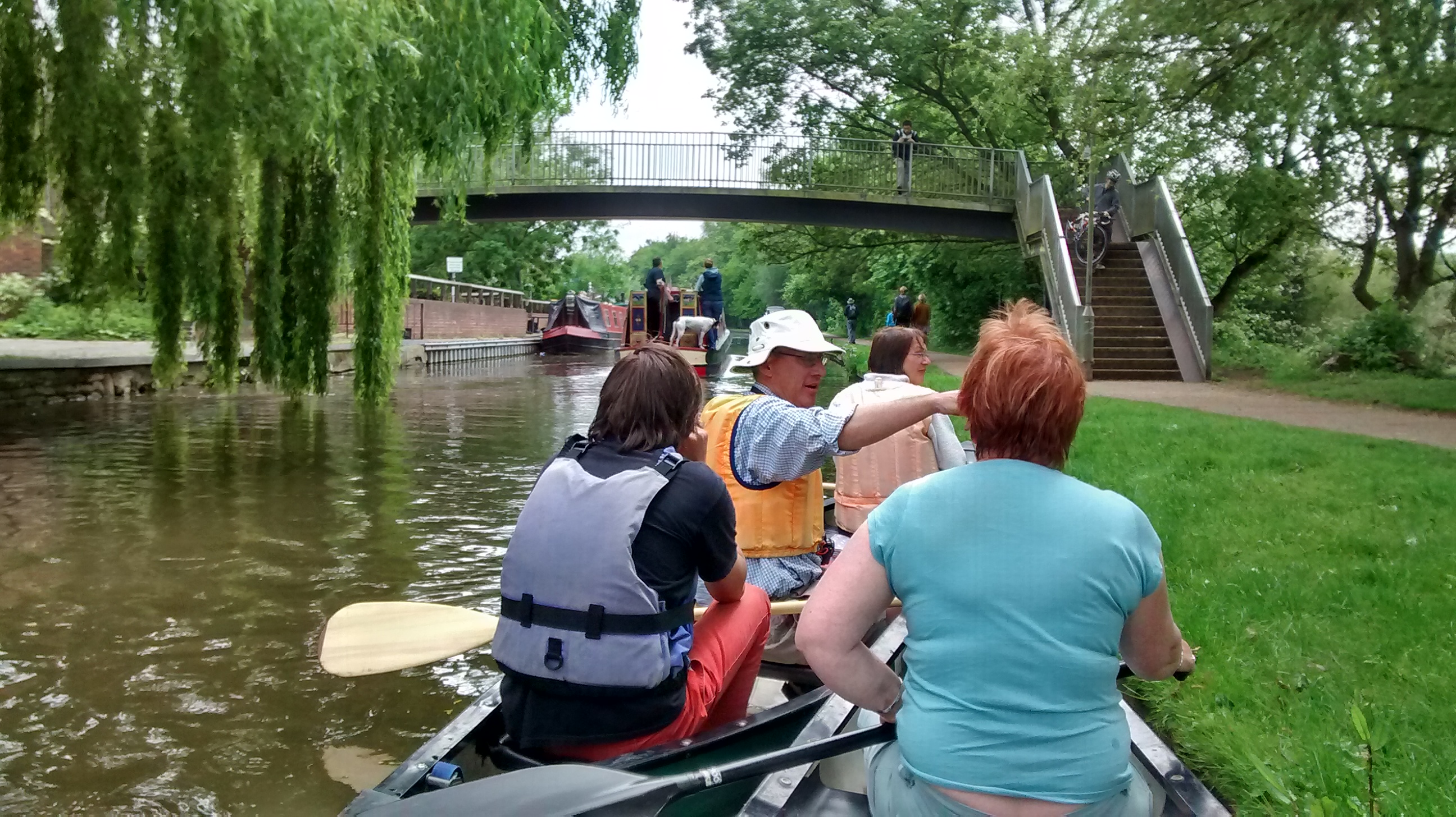
1.9 miles A40 bridge followed by the first of three lifting footbridges
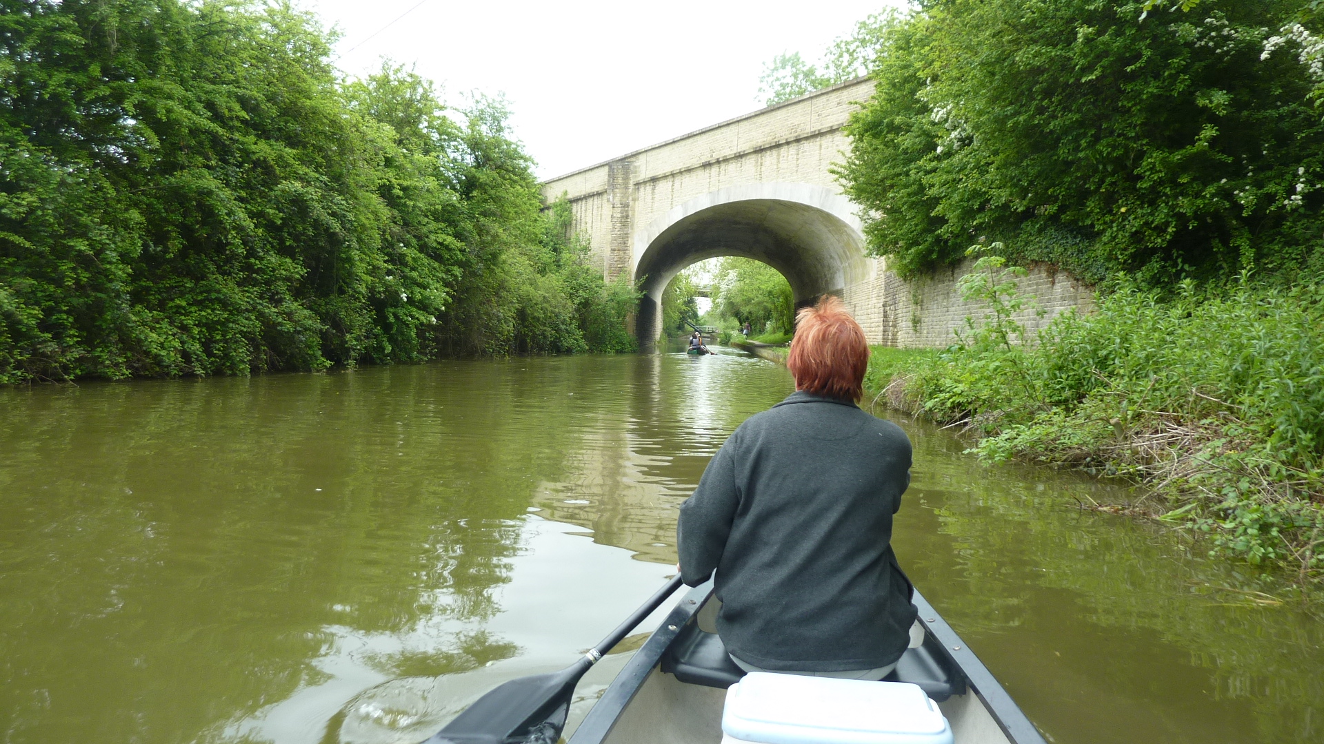
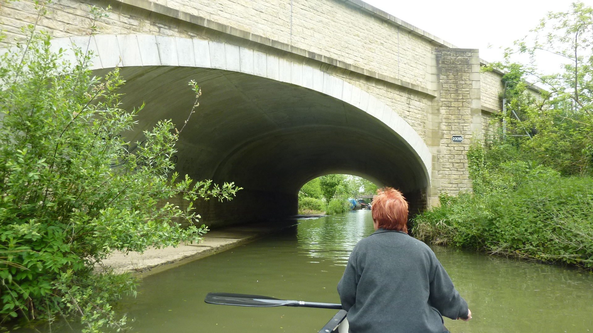
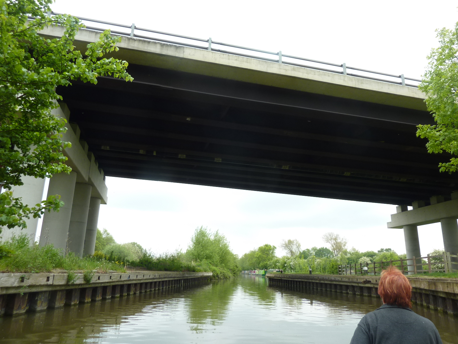
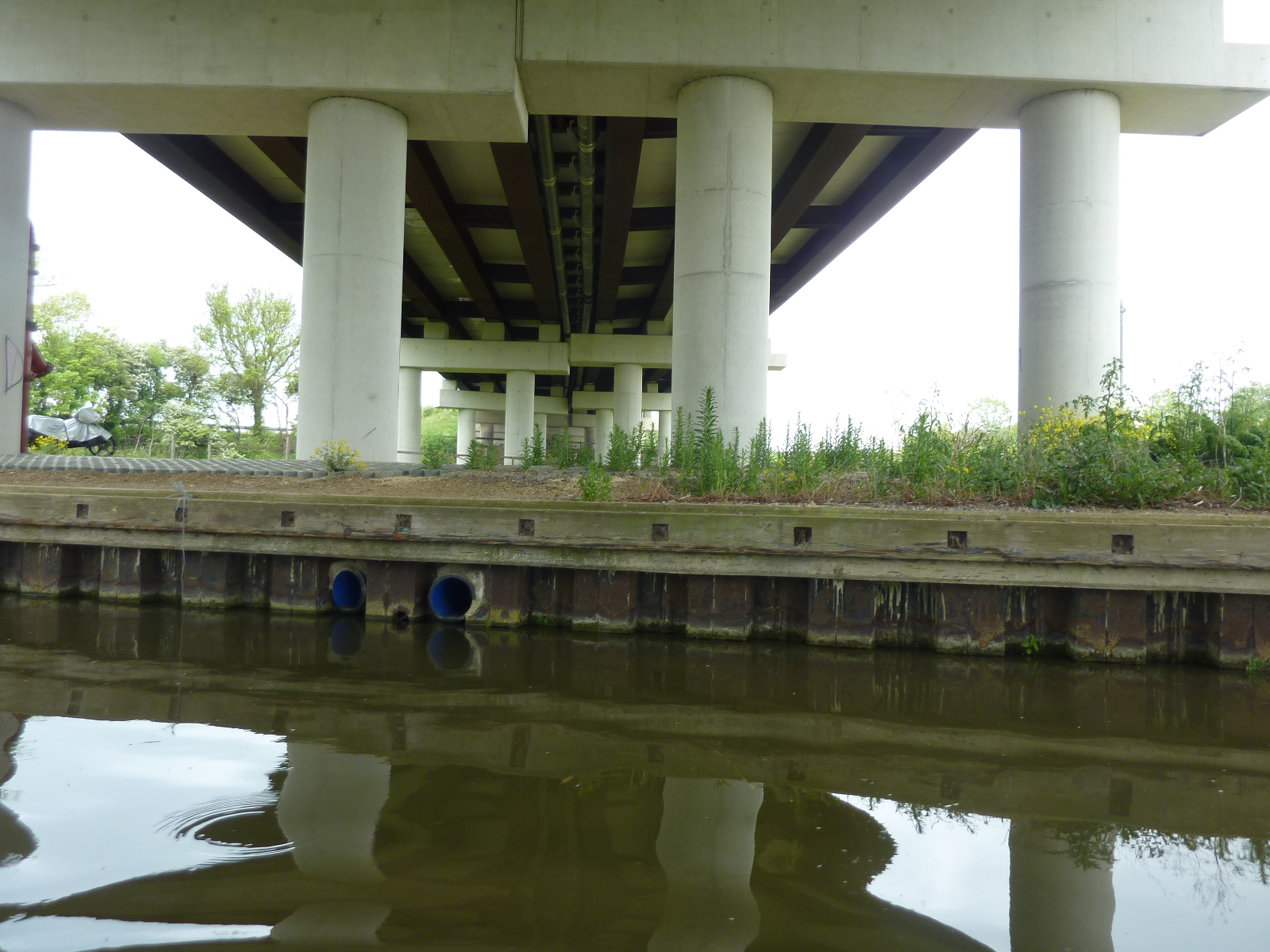
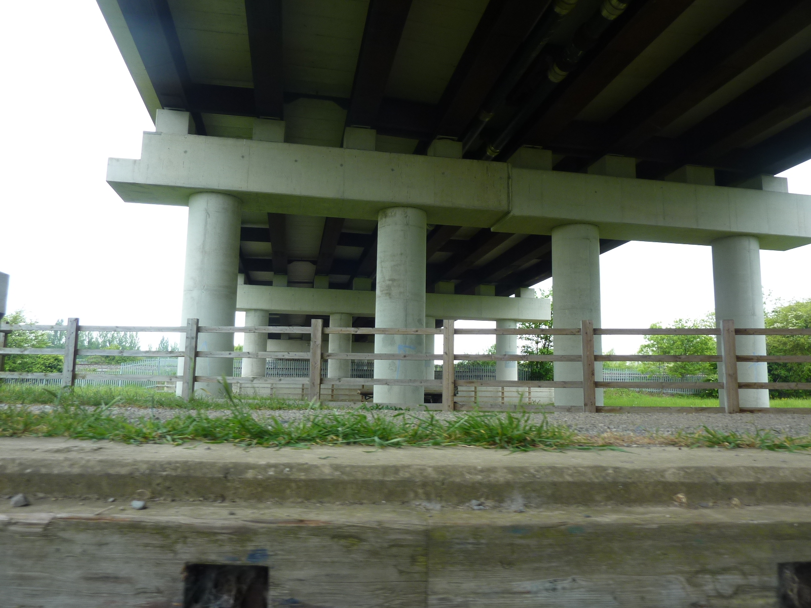
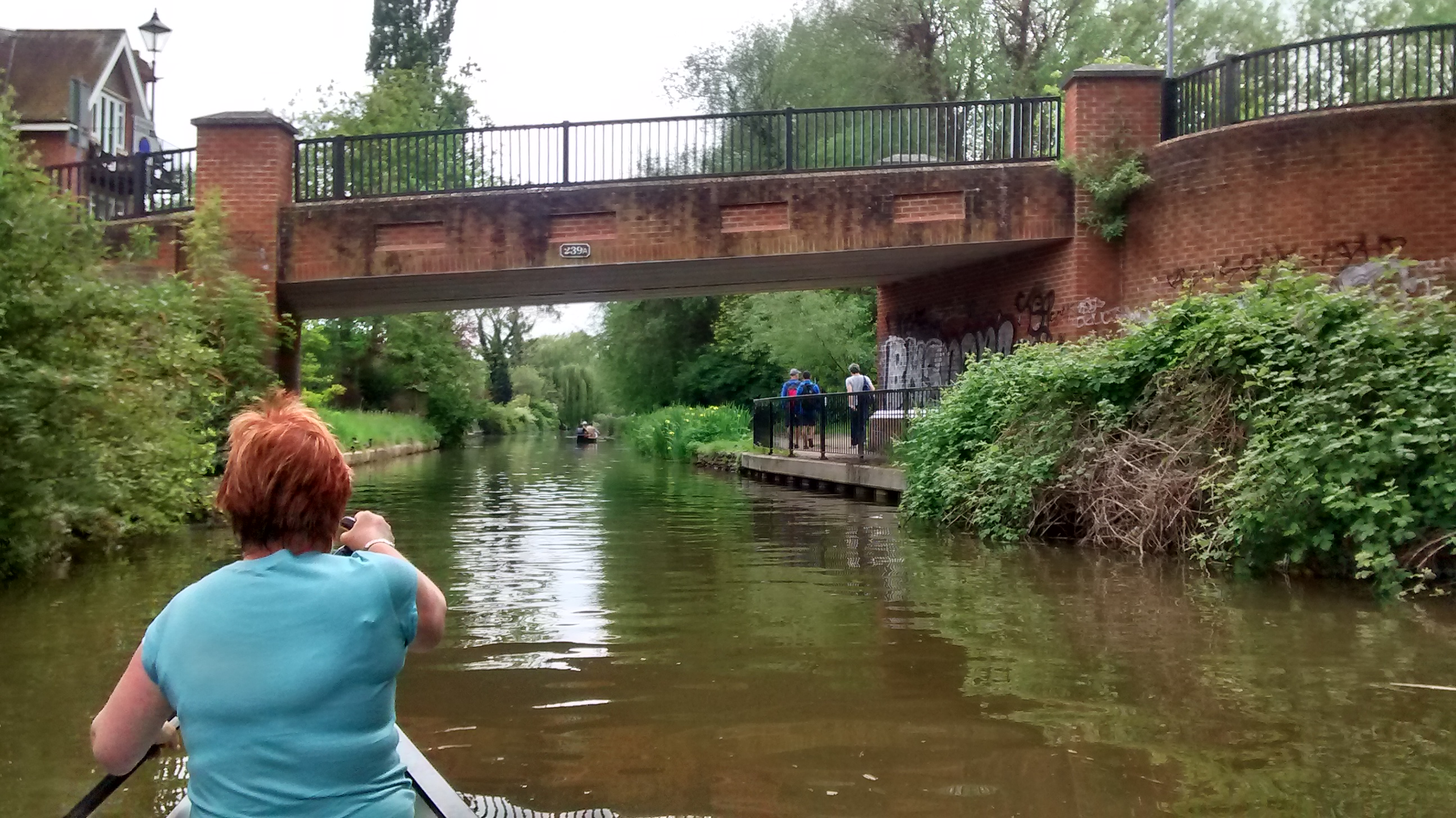
2 miles – A34 bypass bridge.
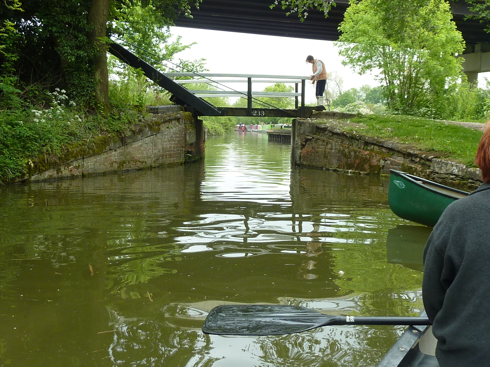
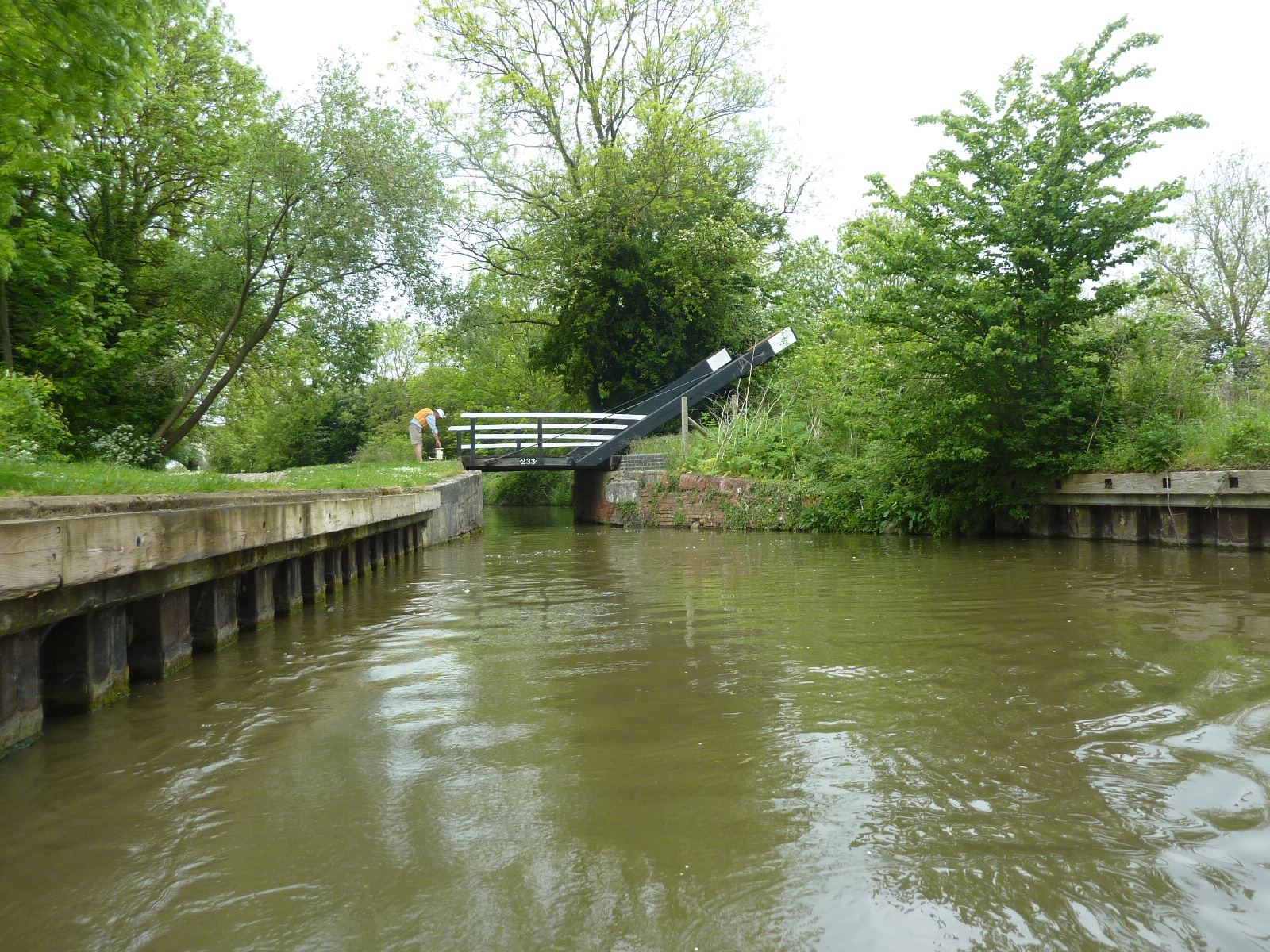
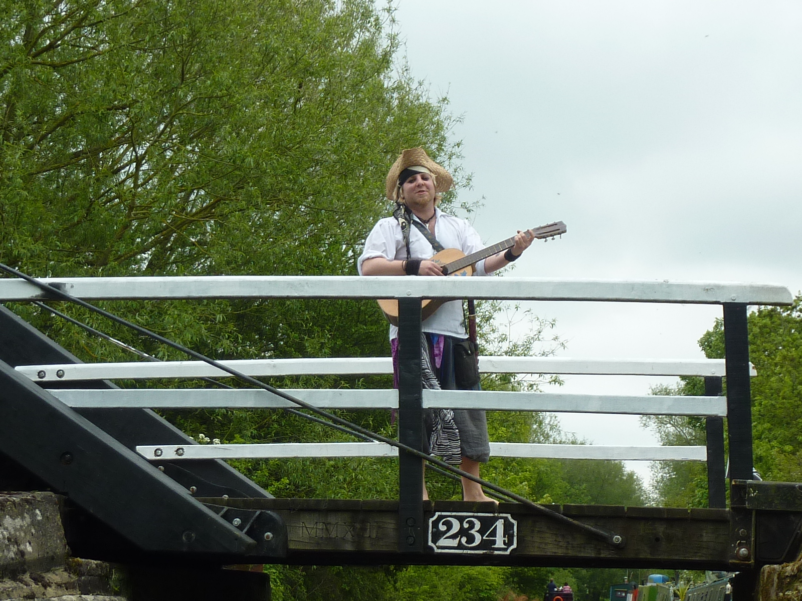
2.4 miles – lifting footbridge 234. This one had a minstrel on it.
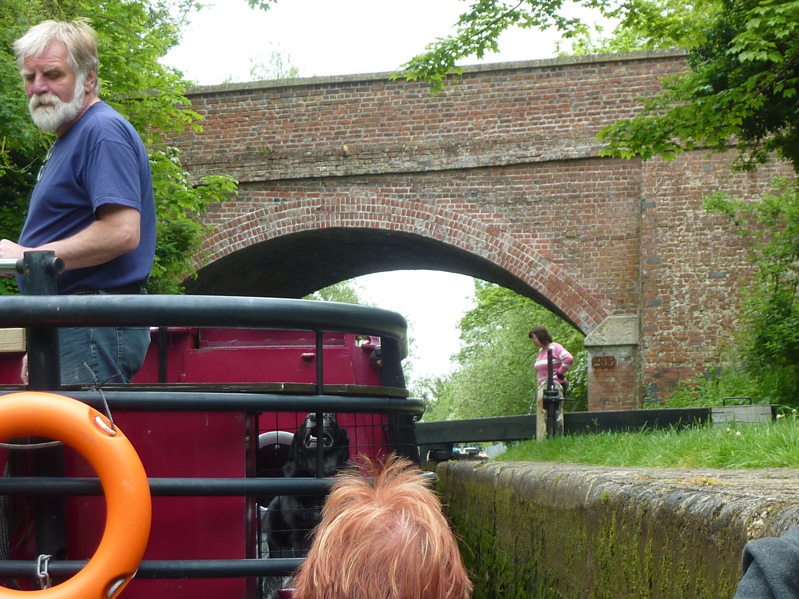
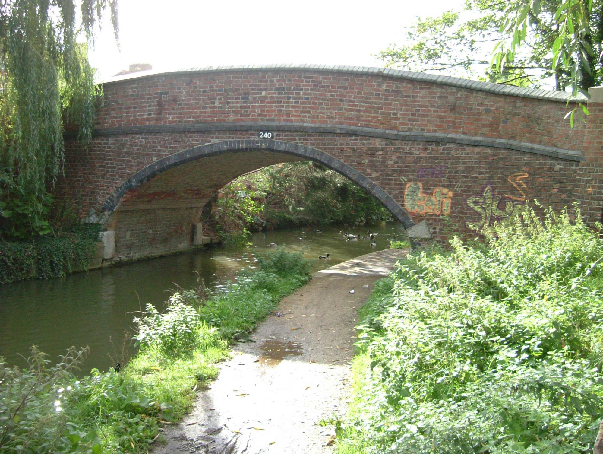
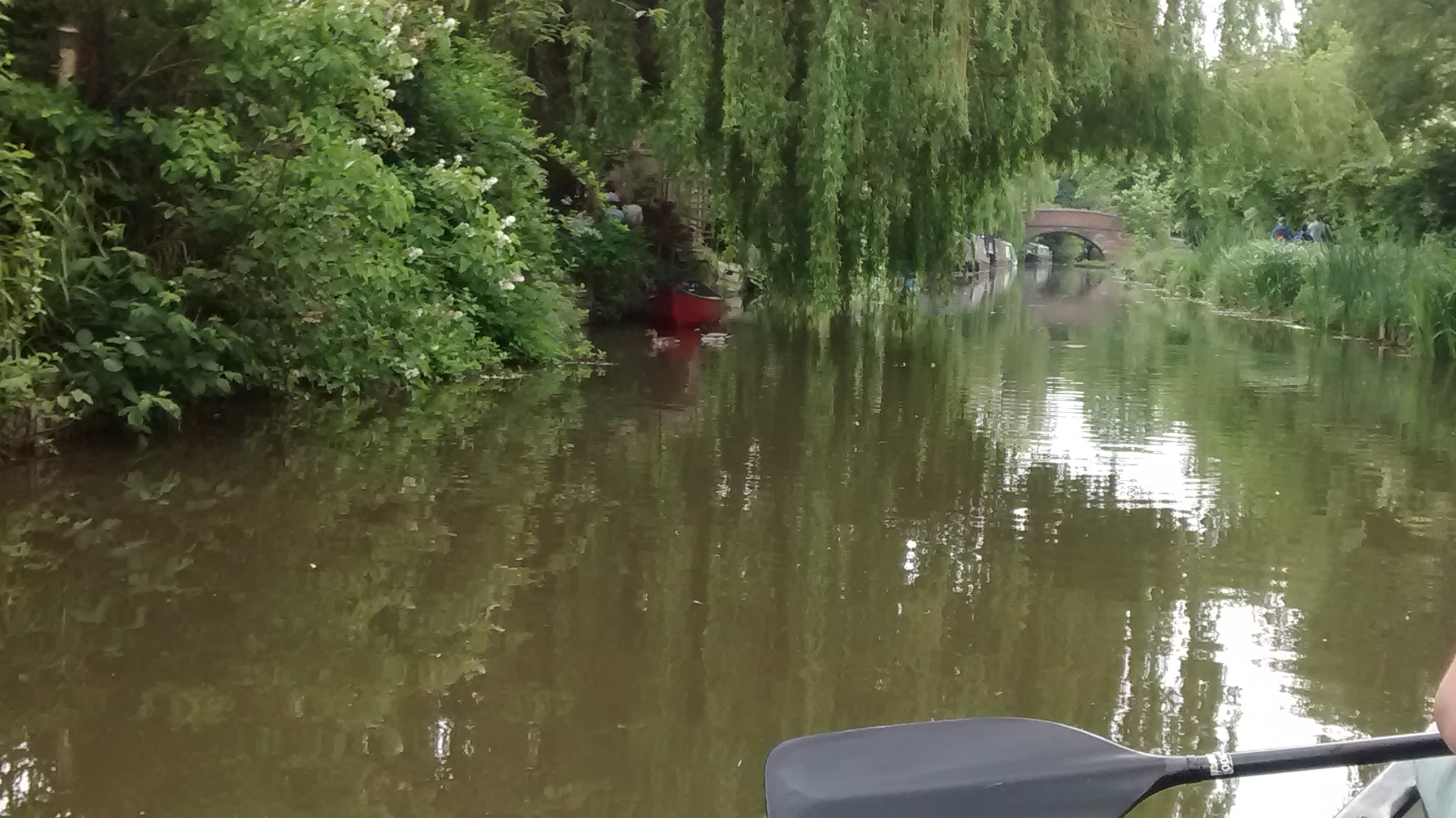
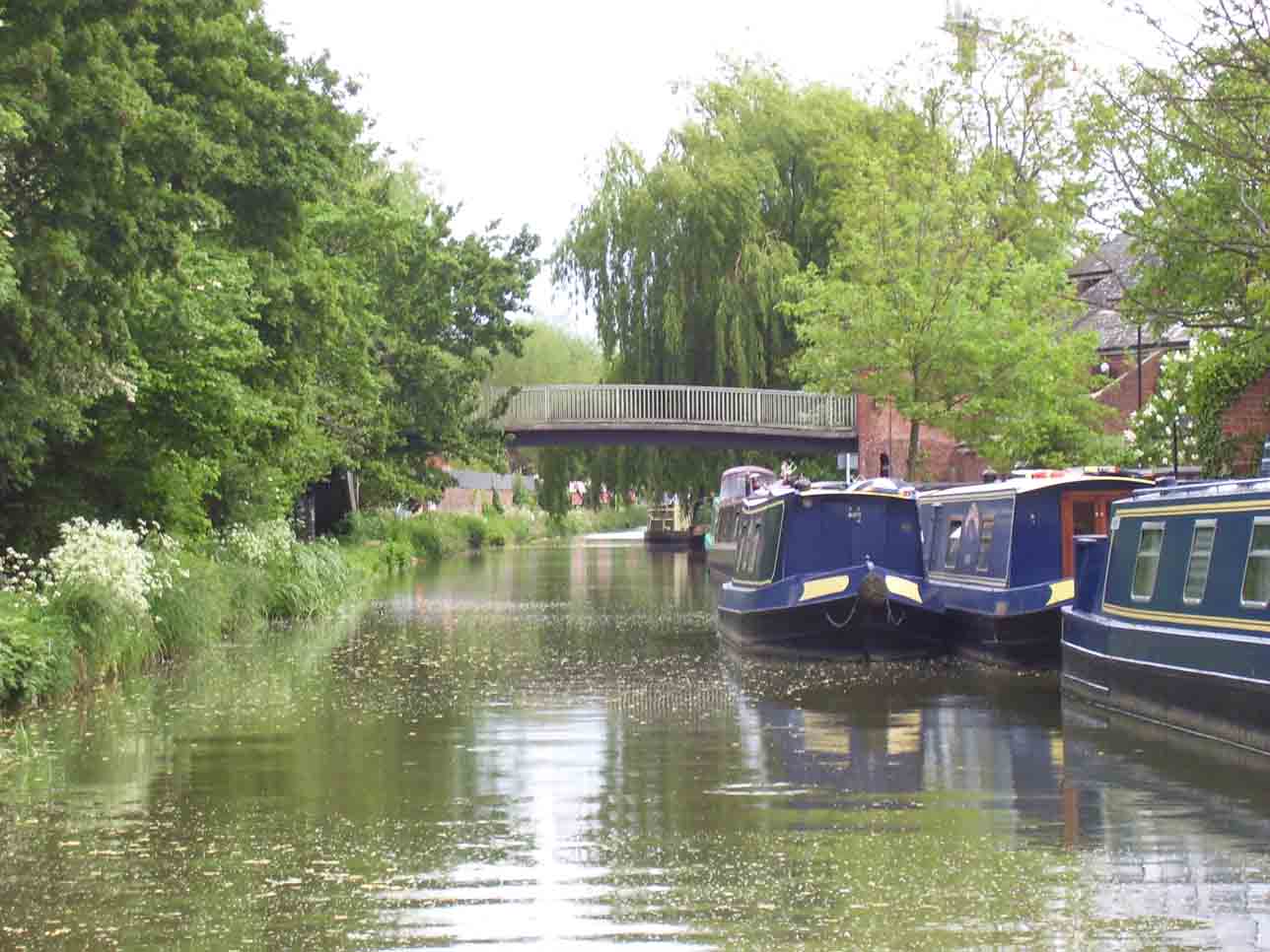
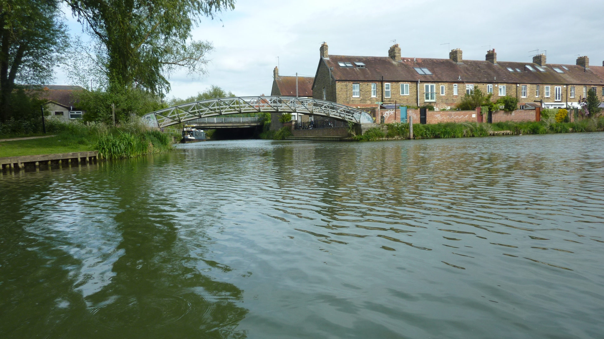
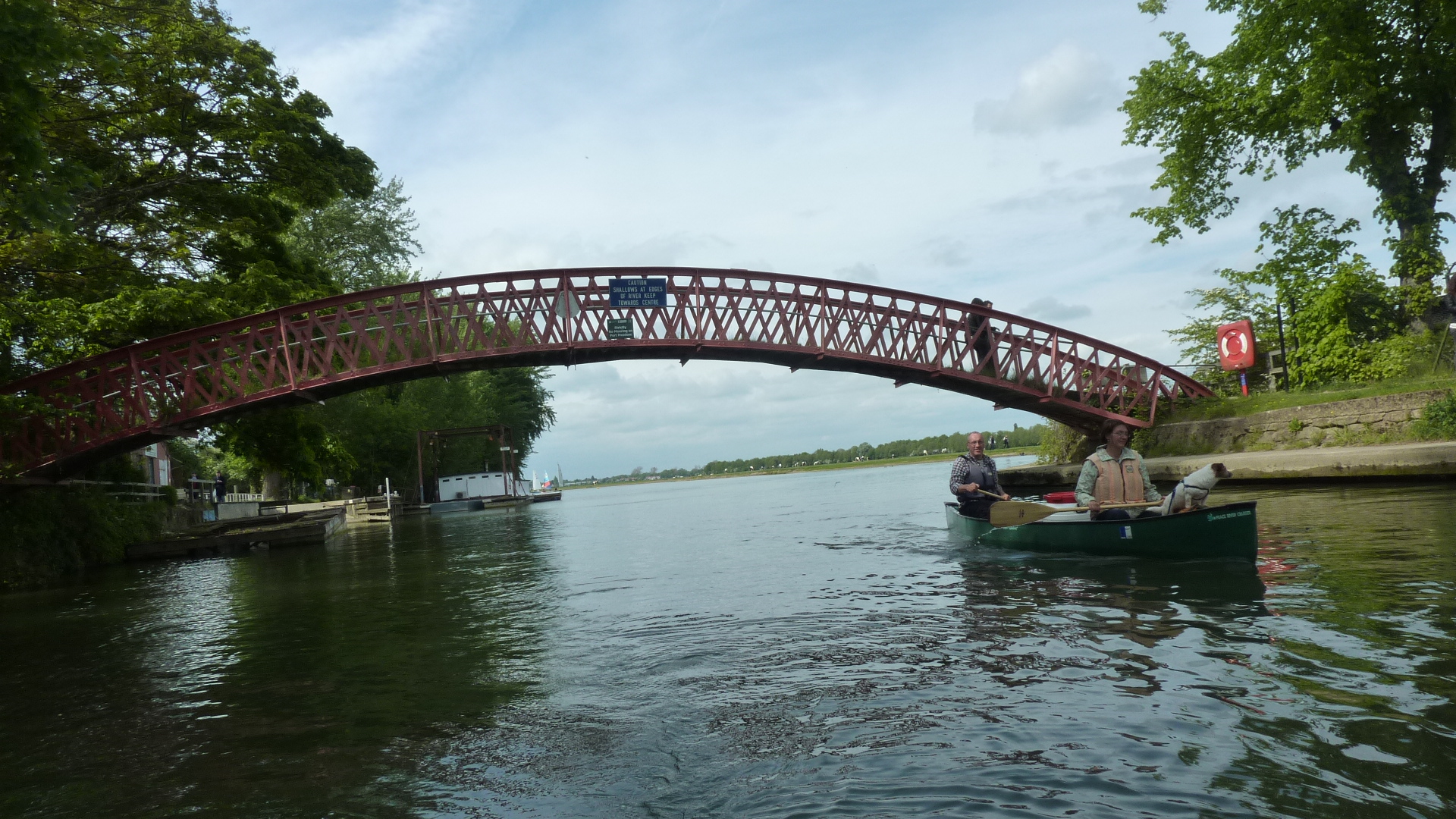
2.5 miles – Wolvercote bridge and lock. Followed immediately by the adjacent Wolvercote footbridge
2.75 miles – Wolvercote Green Field bridge. The Plough left.
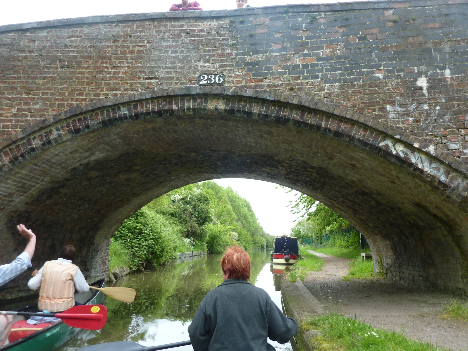
3.25 miles – Wolvercote railway bridge
3.5 miles – St Edward’s lifting footbridge. No 238.
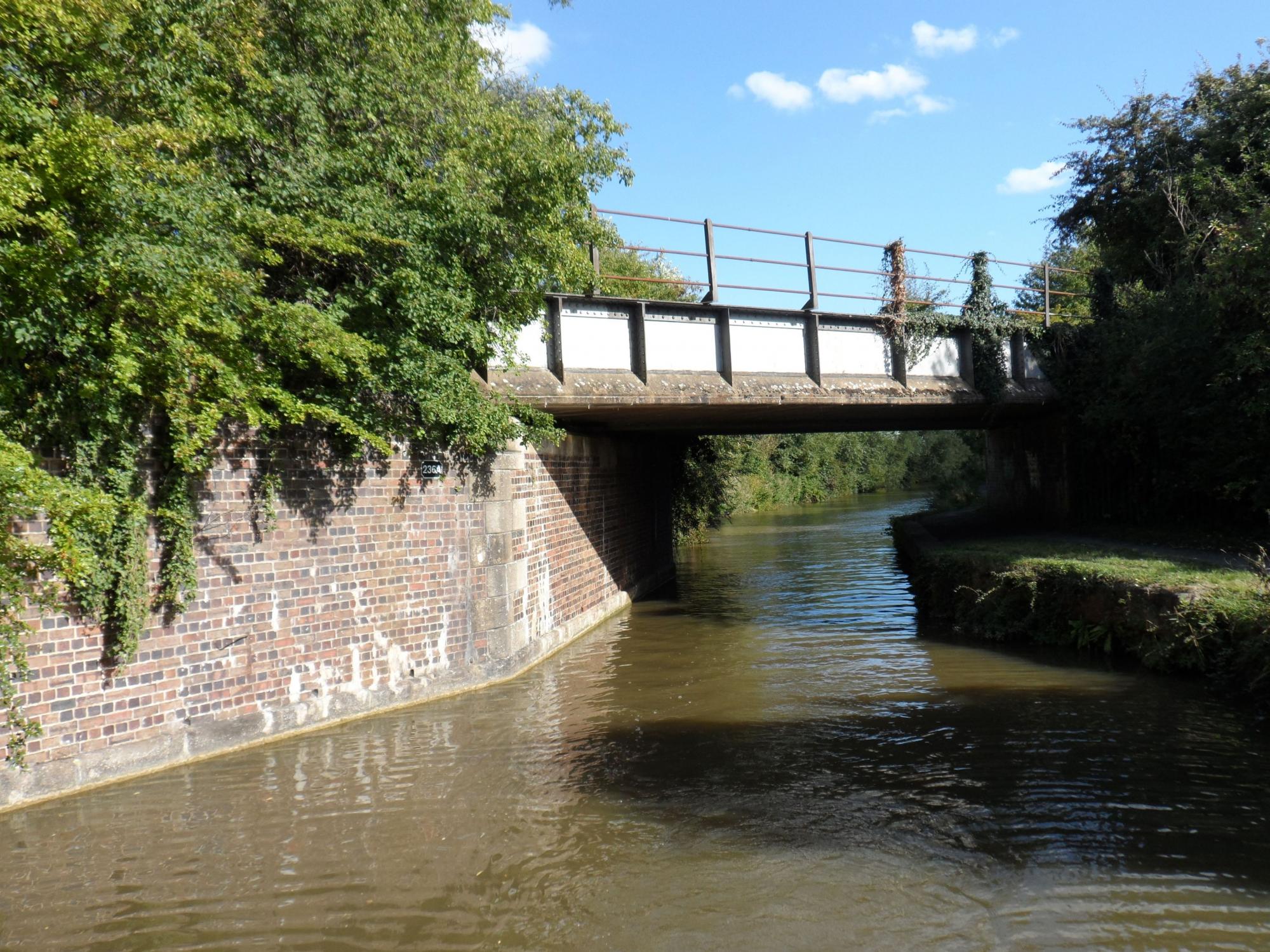
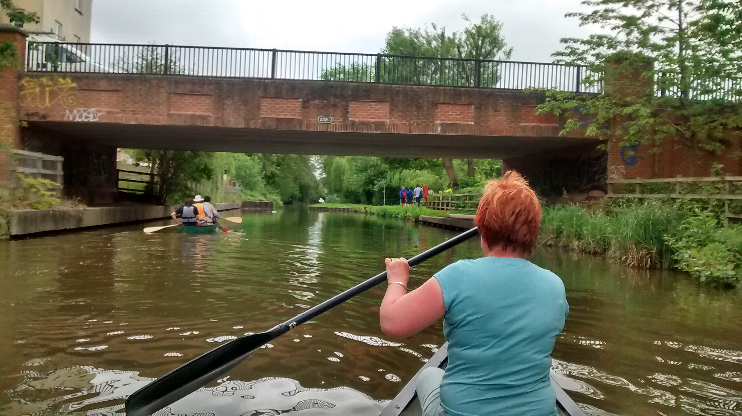
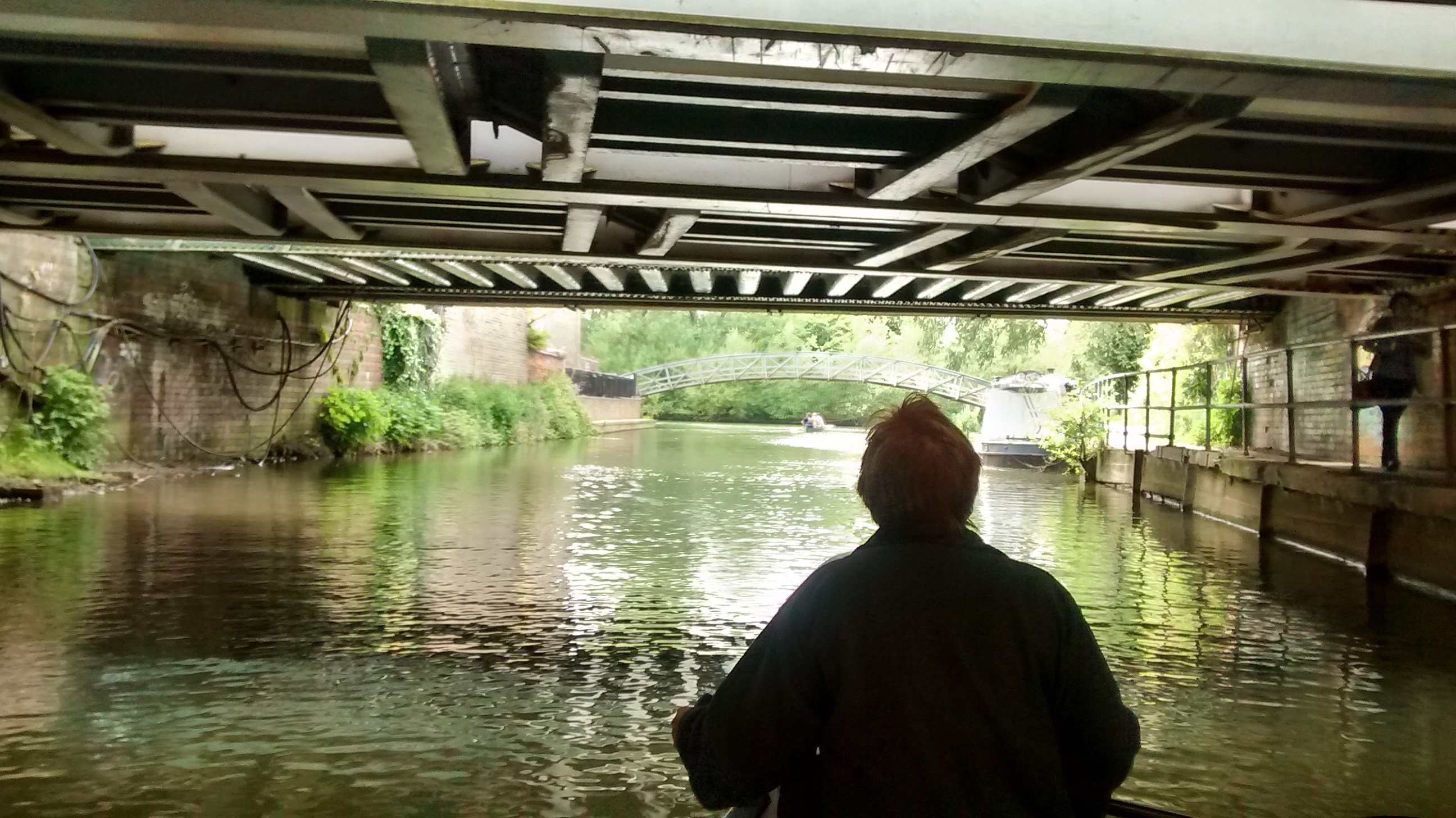
4 miles – bridge 238B Elisabeth Jennings Way bridge
4.2 miles – Frenchay Road bridge
4.4 miles – Aristotle bridge
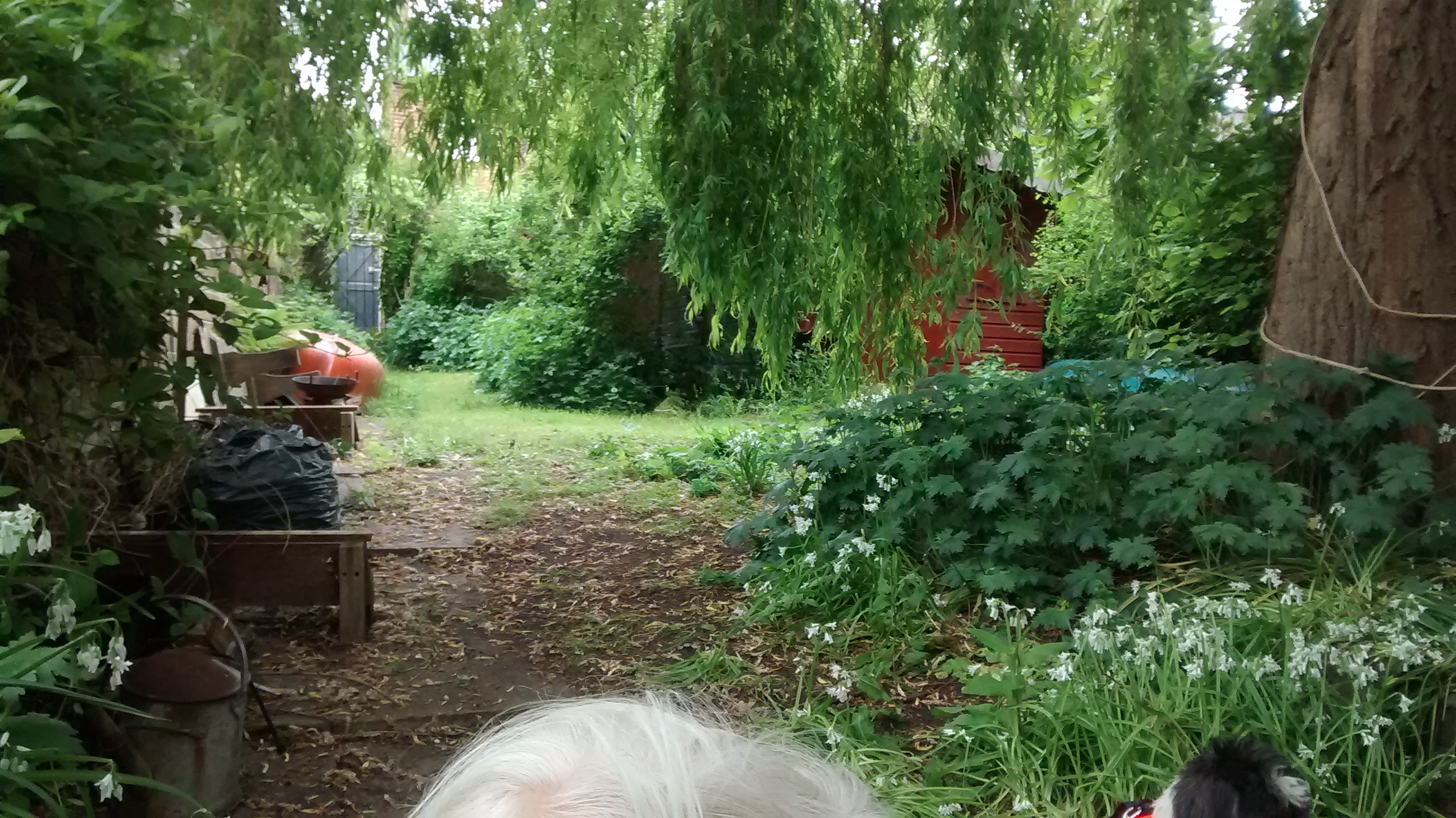
After a few hundred yards the houses and back gardens of Southmoor Road line the left bank.
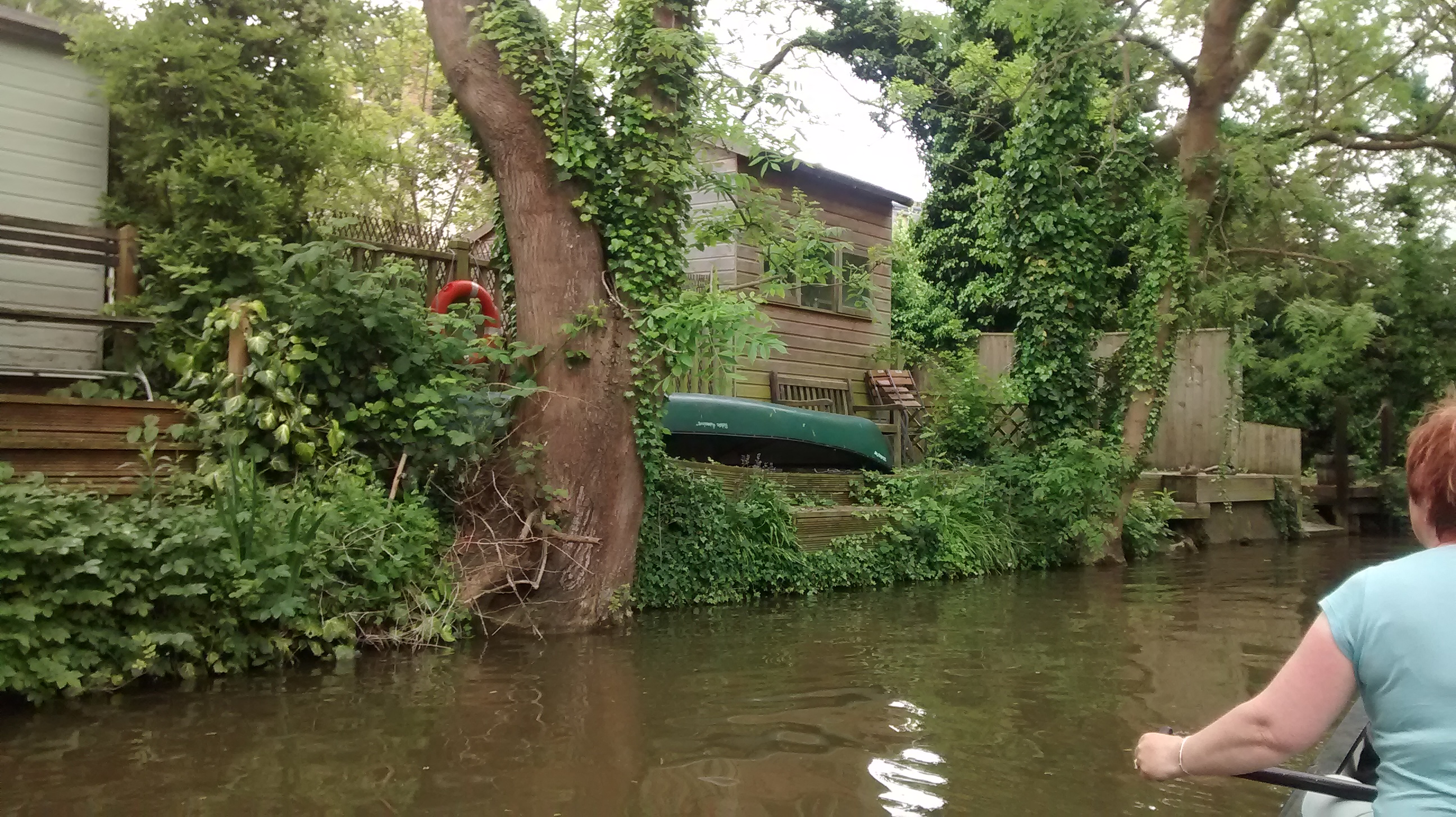
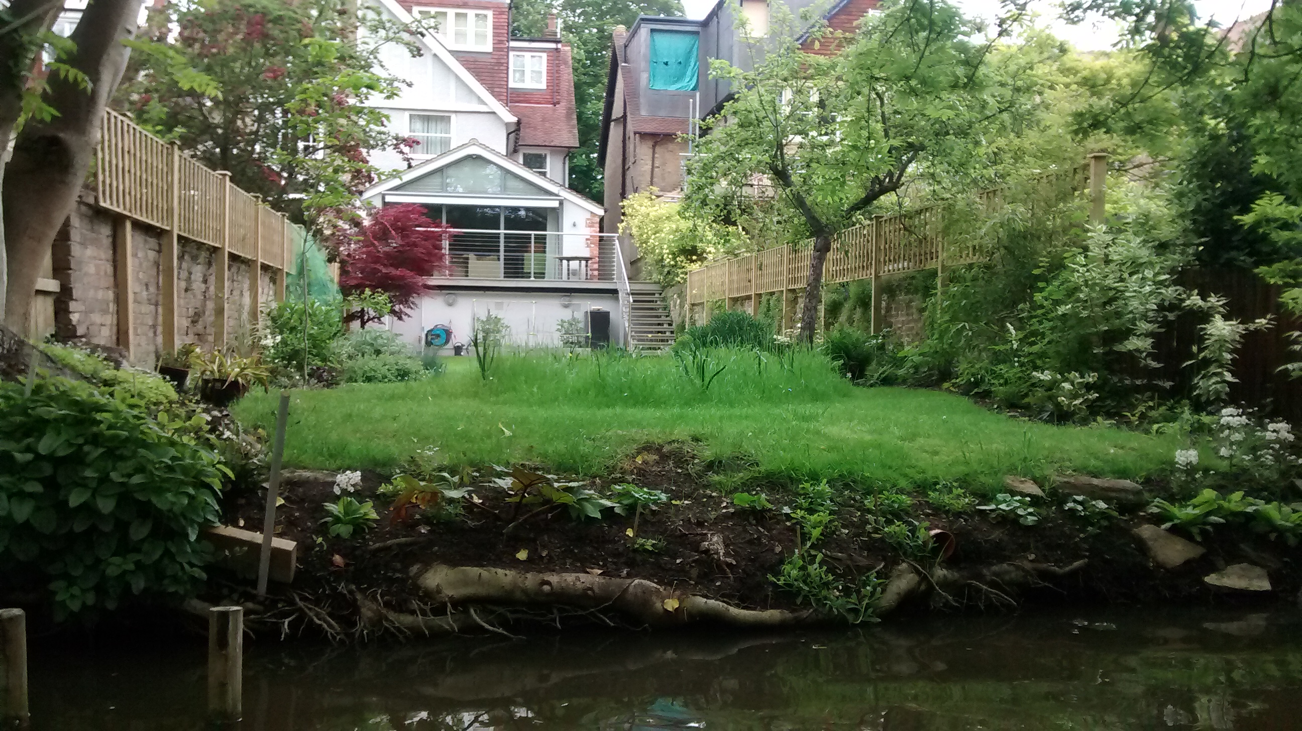
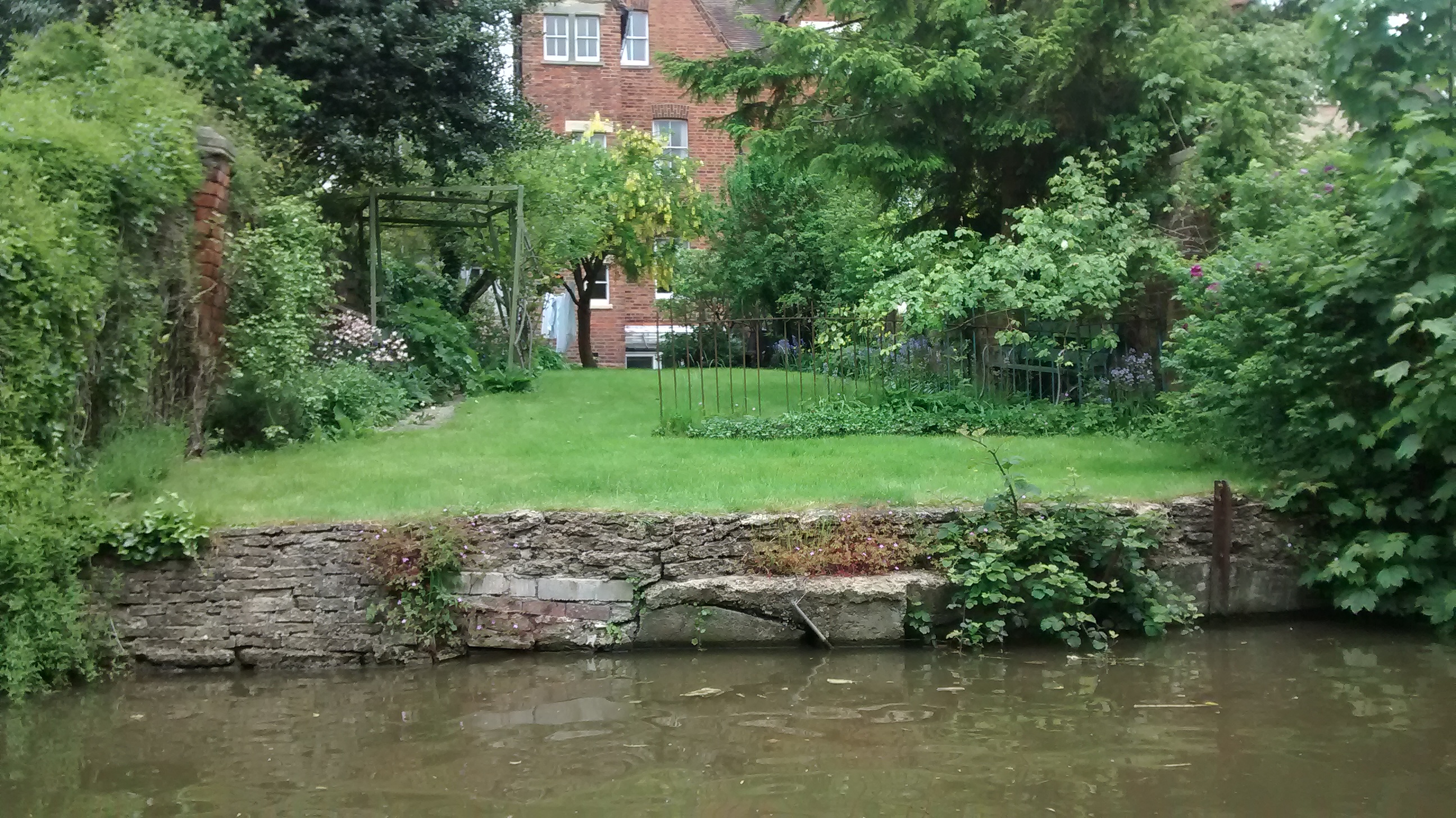
No. 48 is about 500 yards after Aristotle bridge as the canal kinks very slightly left, marked by two large weeping willows. We found two old Oxford ladies launching their canoe from an adjacent garden. They didn’t know that Murdoch had once lived nearby.
4.75 miles – Walton Well Road bridge
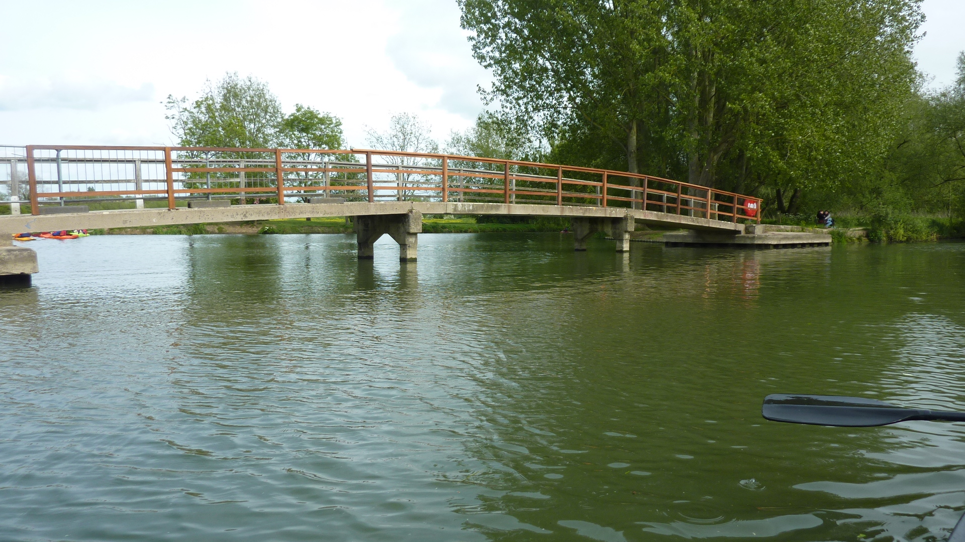
5 miles – Mount place footbridge
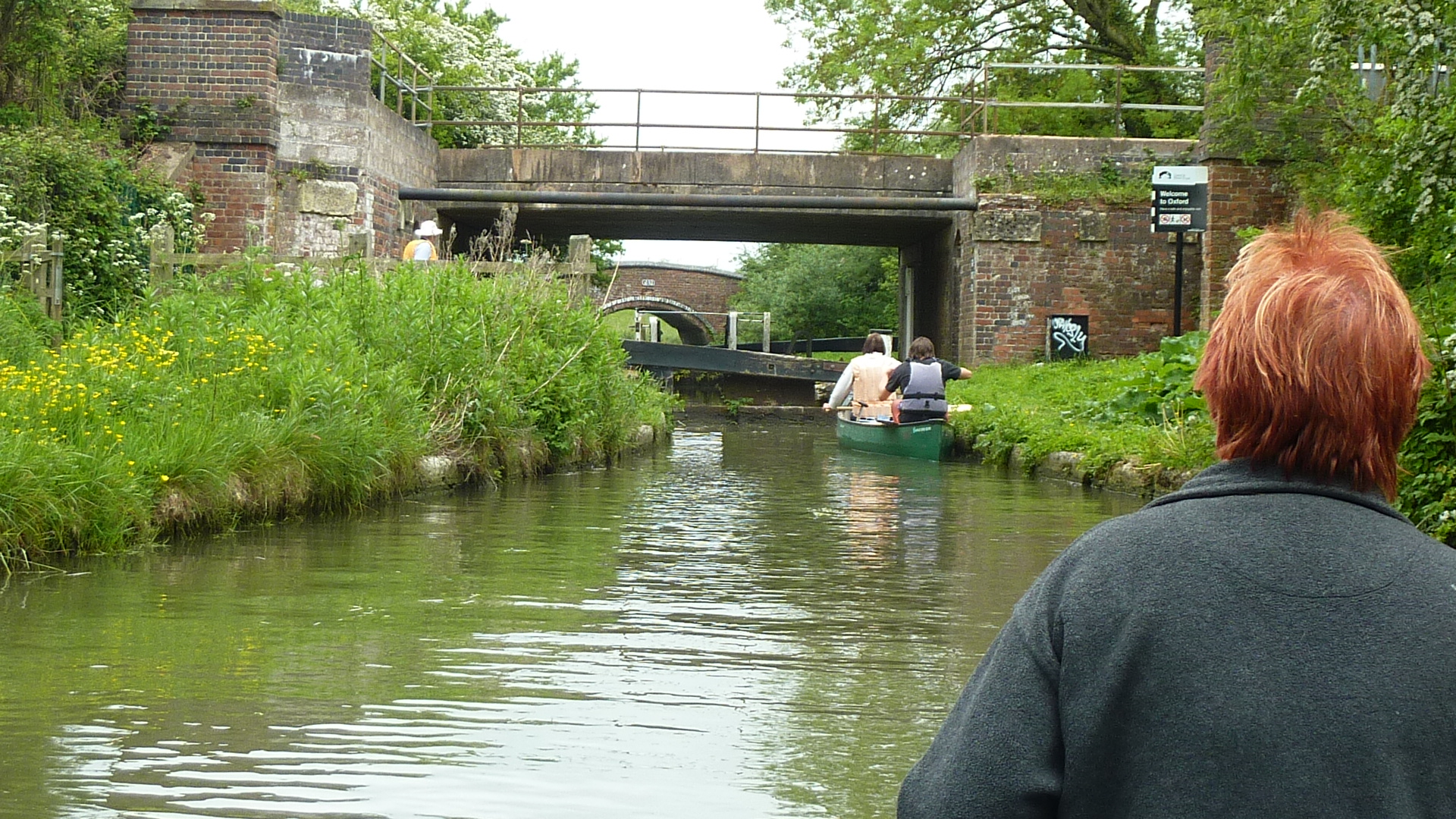
5.5 miles – Footbridge over Isis lock. Land right and portage over the bank into the Castle Mill stream. Turn right in the pool below the lock to enter the Sheepwash channel, which immediately passes under Rewley Road bridge and a railway bridge, before joining the Thames
5.75 miles – Footbridge and junction of the Sheepwash channel with the Thames. Turn right upstream. Mark the channel entrance if paddling this trip in reverse.
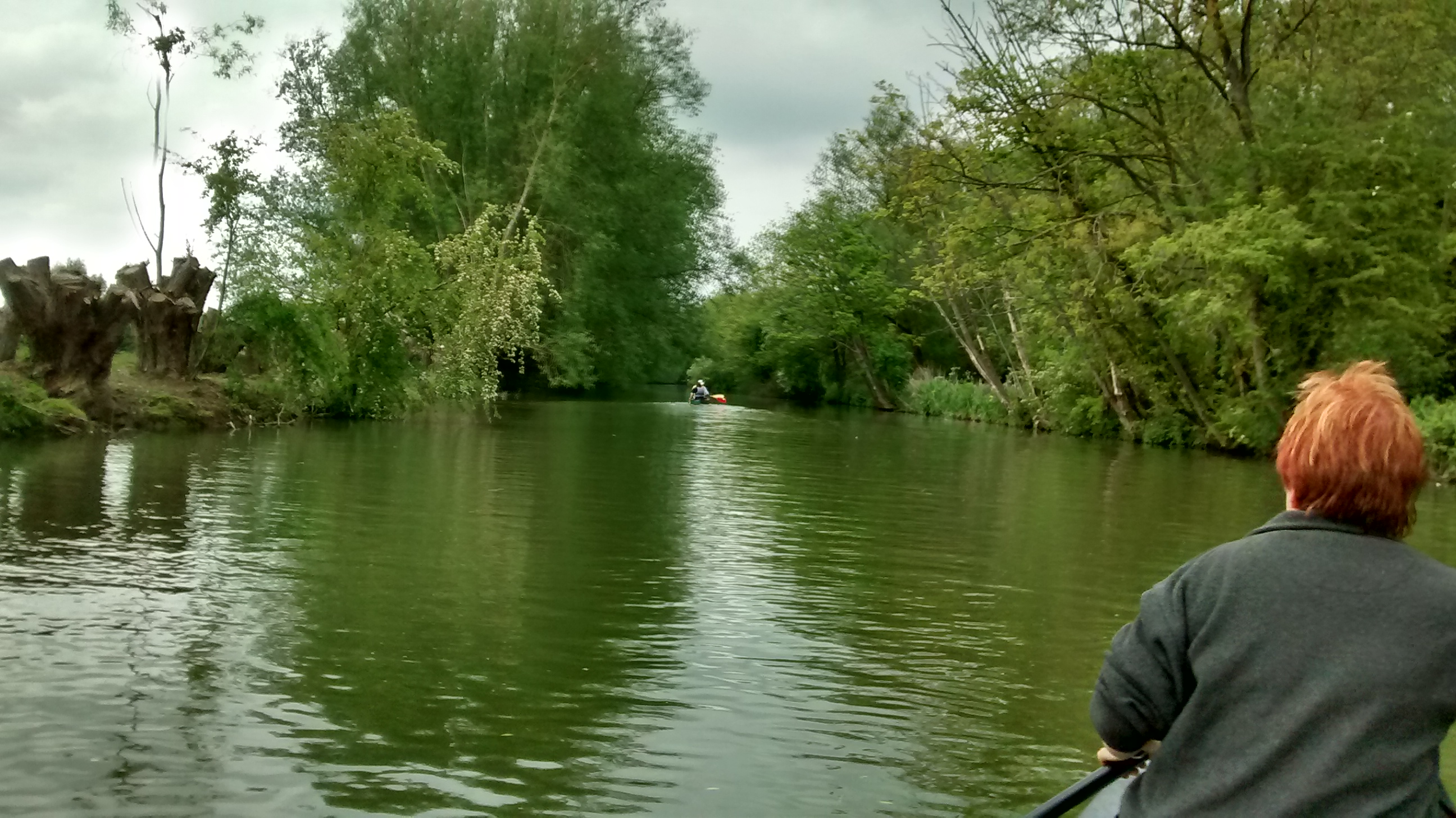
The riverside path passes over various other side channels
6.5 miles – Medley footbridge. Port Meadow right.
8 miles – At the upper end of Port Meadow take the right channel back to the car park. Or better still the middle one past a boat house, and under a wooden footbridge to the Trout Inn.
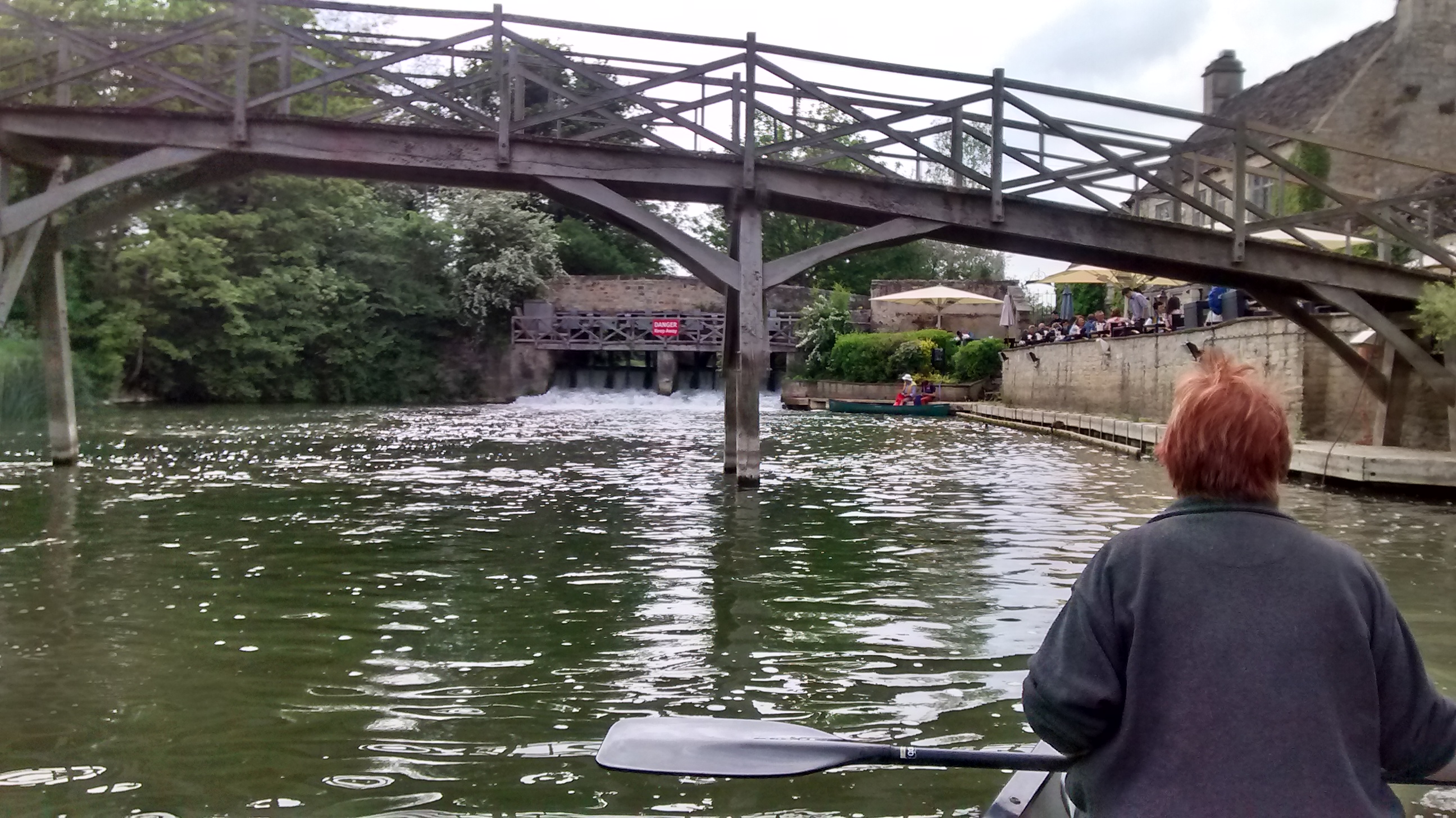
Iris loved pubs and must have visited this one. It’s famous now as one of Inspector Morse’s drinking holes. Finally, don’t miss Wolvercote community orchard (click here).
Jim Thornton

Trackbacks