The River Slea & the Kyme Eau
First posted http://www.igreens.org.uk in 2006.
Rising on the limestone hills of Willoughby Heath the Slea flows eastwards to the Witham, changing its name to the Kyme Eau halfway.
In 1792 it was canalised from Carre Street Wharf in Sleaford, but the navigation was abandoned in 1878 and the locks replaced with fixed sluices. In 1977 the Sleaford Navigation Society started converting the sluices back to gated locks.
Normally iGreens oppose repairing this sort of navigation. We prefer to see rivers in their natural state (click here to read more), but we make an exception for this one. In the absence of man the Slea would be impenetrable marsh. No-one is suggesting allowing the fens to return to their natural state, so they need to be managed. A waterway from Sleaford to the Witham would be a wonderful amenity. We wish the restorers well. Click here for their website.
In Feb 2003, the Slea was seriously polluted by a spill of the pesticide Cypermethrin into a tributary, the Nine Foot river. About 100,000 fish died over a 15 mile stretch, but rivers recover. It was good to see many fish in the river in April 2006. Enough preamble. On to the itinerary.
In the centre of Sleaford the river is inviting, but too small to canoe.
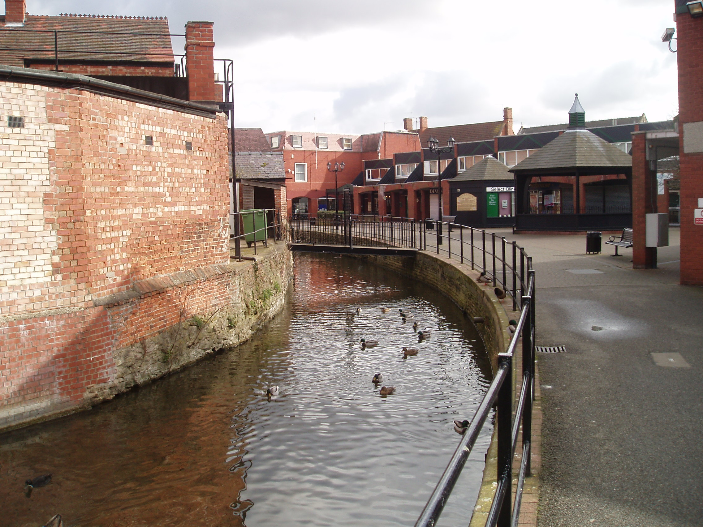
Impassable little weir under low footbridge just below the shopping centre. The upper part of the old navigation looks inviting too, but is not connected downstream.
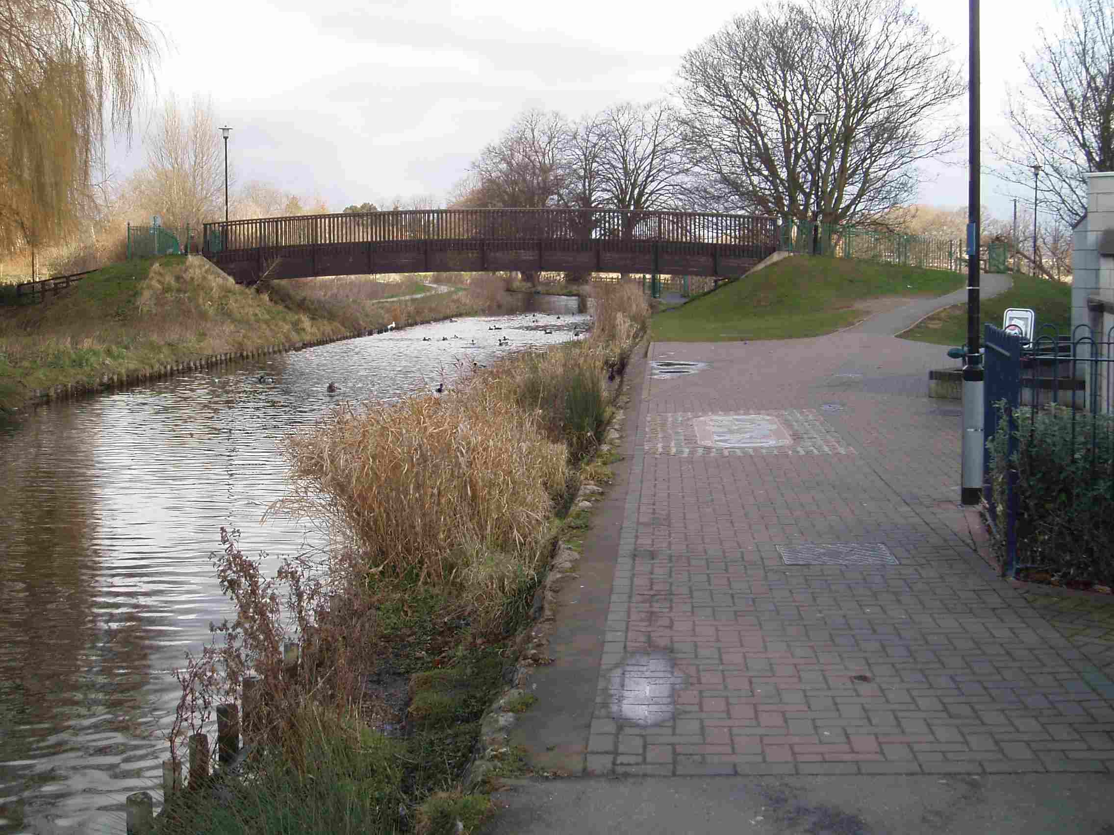
0 miles – The Hub art centre
After rain it is possible to canoe from here. Early in the year is best before the reeds grow too dense. Car parking and access from left bank in front of the art centre.
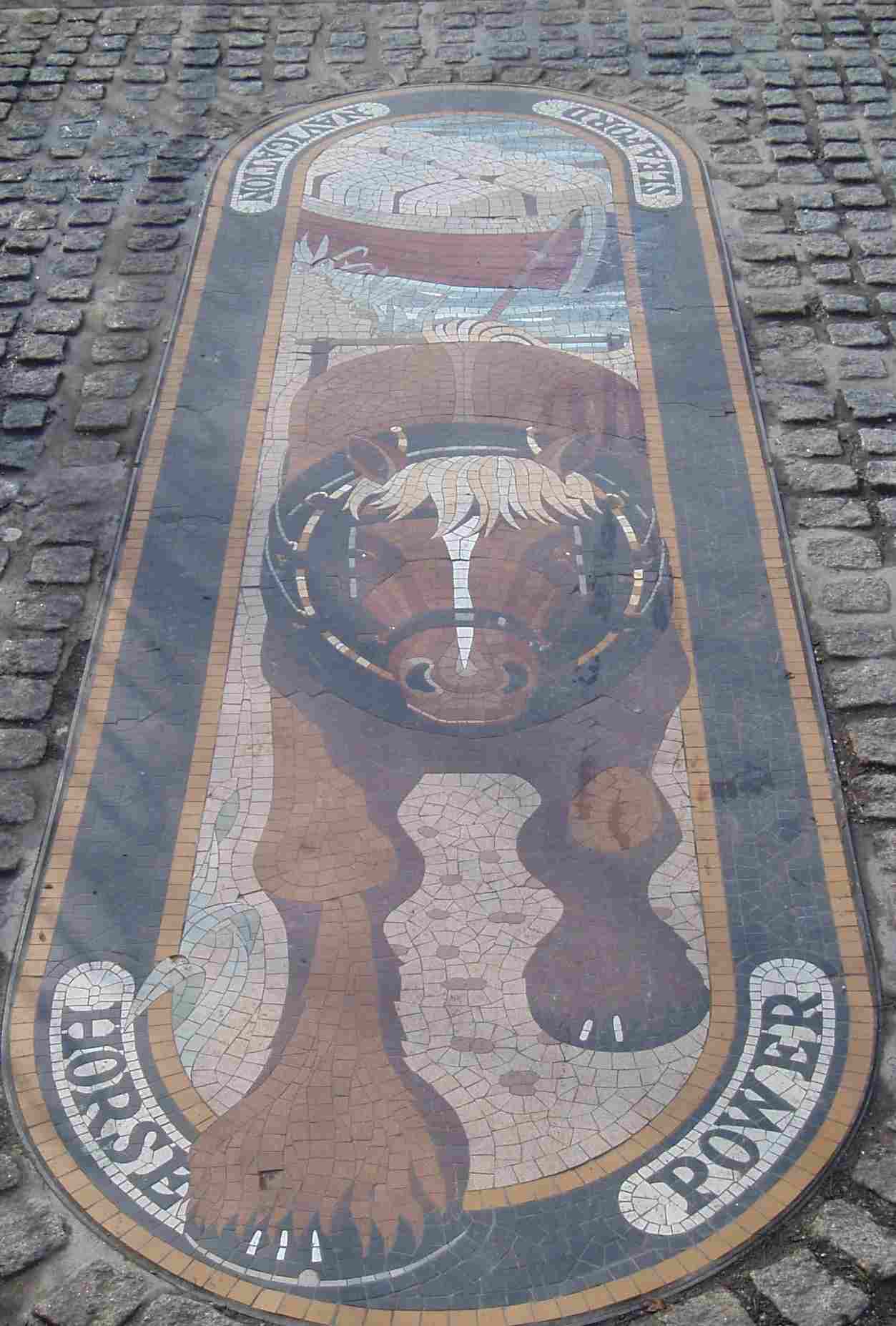
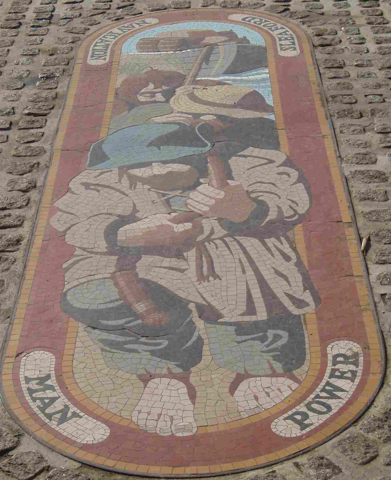
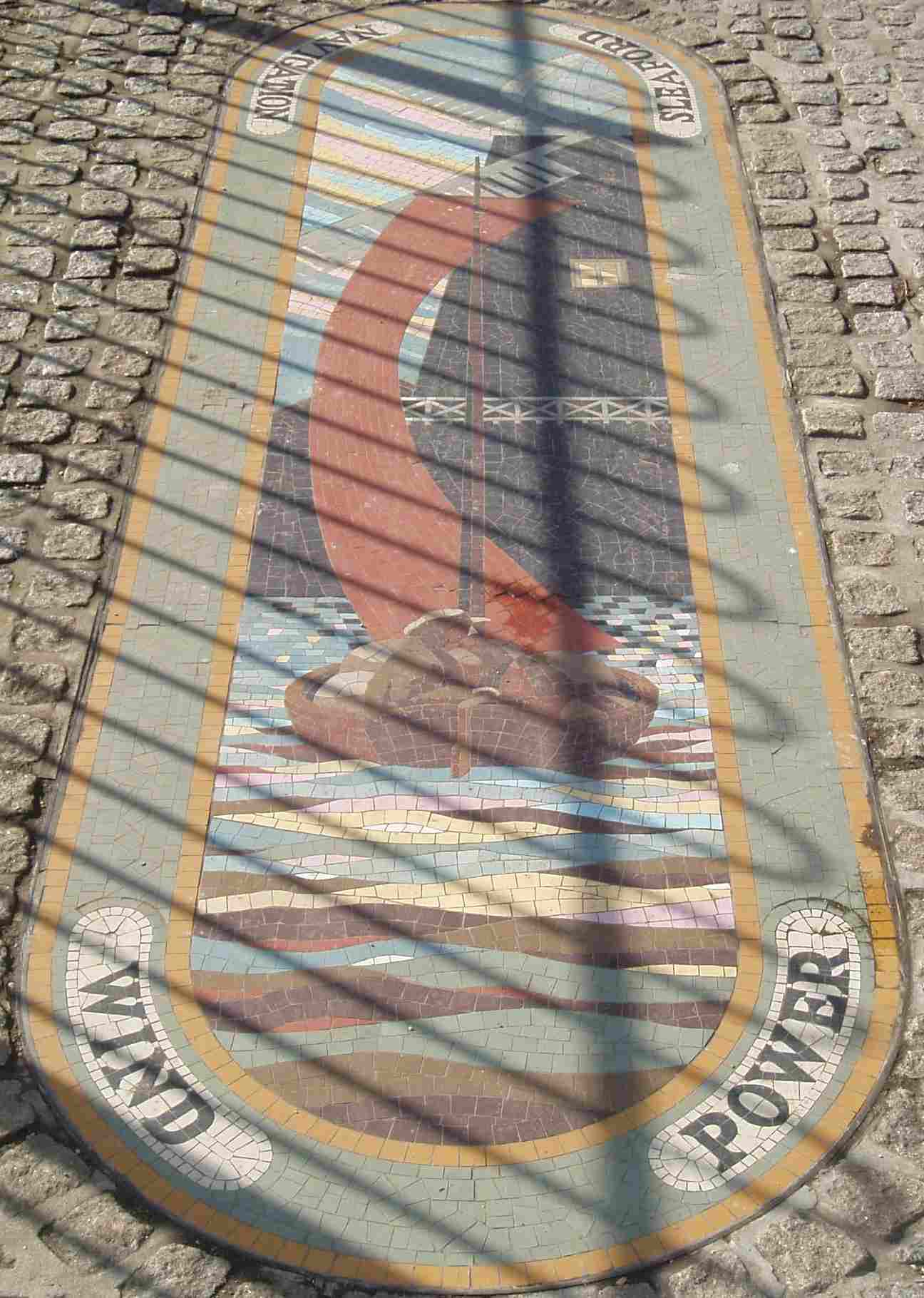
Three mosaics on the right bank commemorate the Navigation
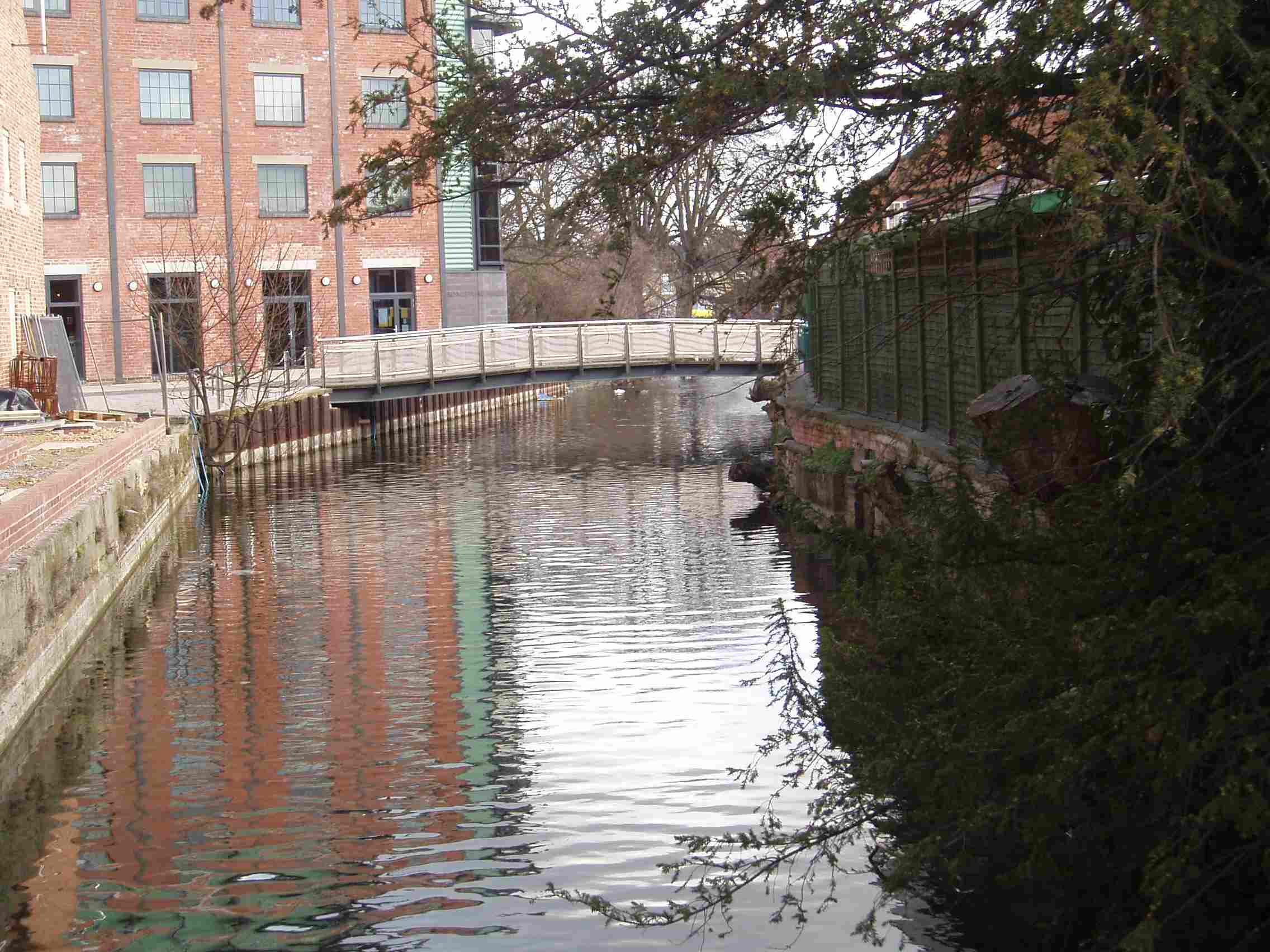
0.2 miles – Footbridge
The old river Slea branches off right over a weir. It rejoins below Cobblers lock.
0.5 miles – Cogglesford watermill
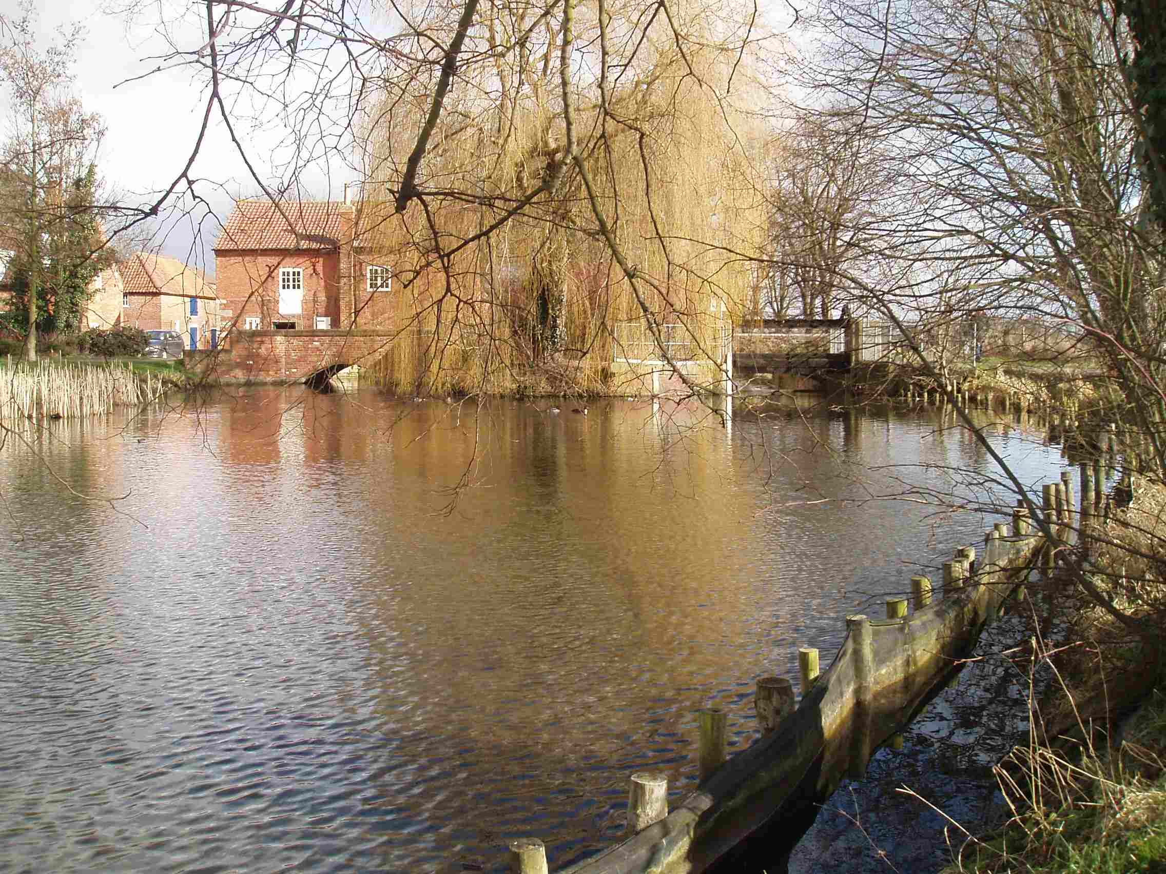
Open to the public and sometimes working. Enclosed undershot wheel.
Land left, carry over bridge and launch right
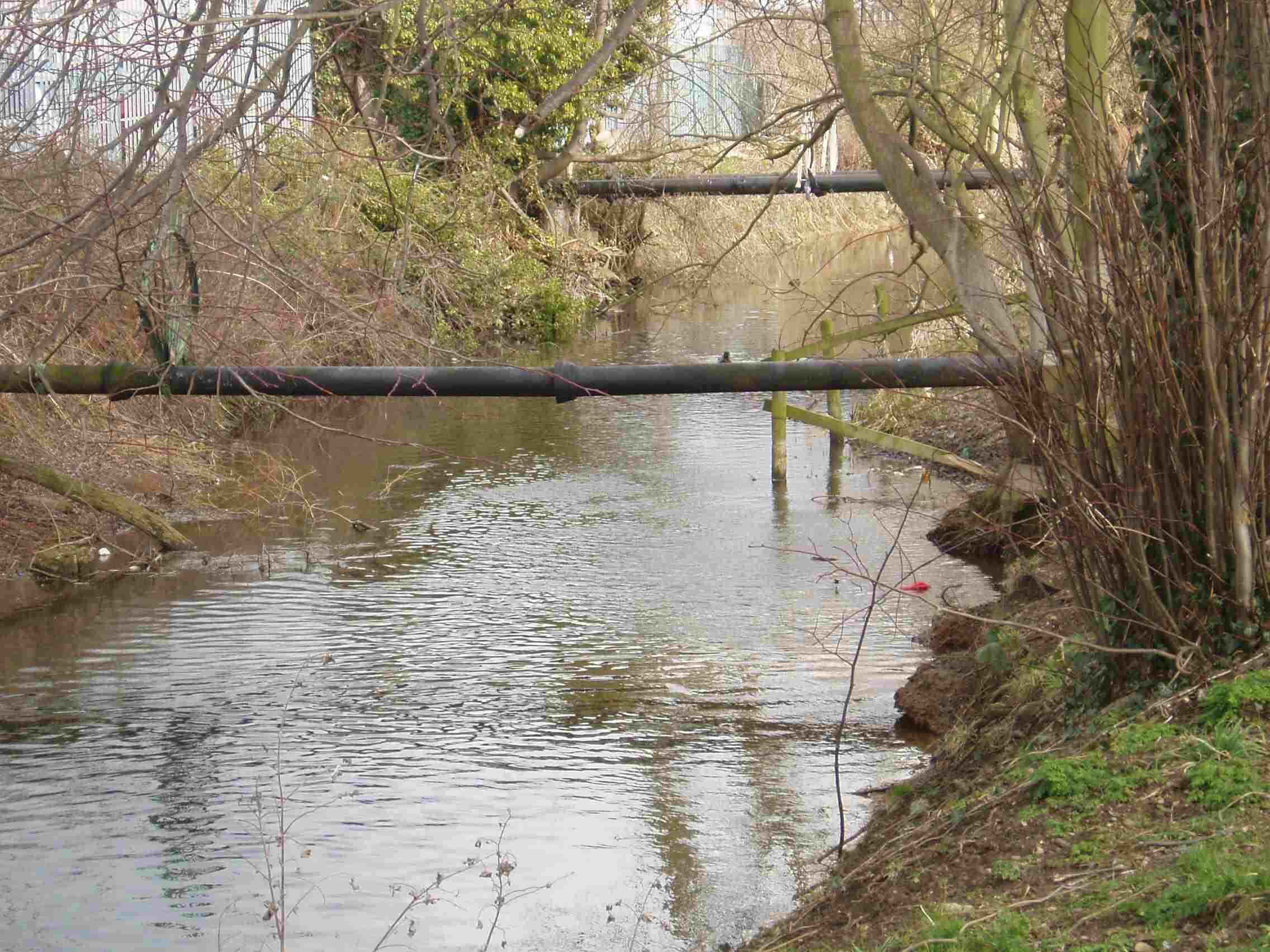
0.6 miles – two pipes
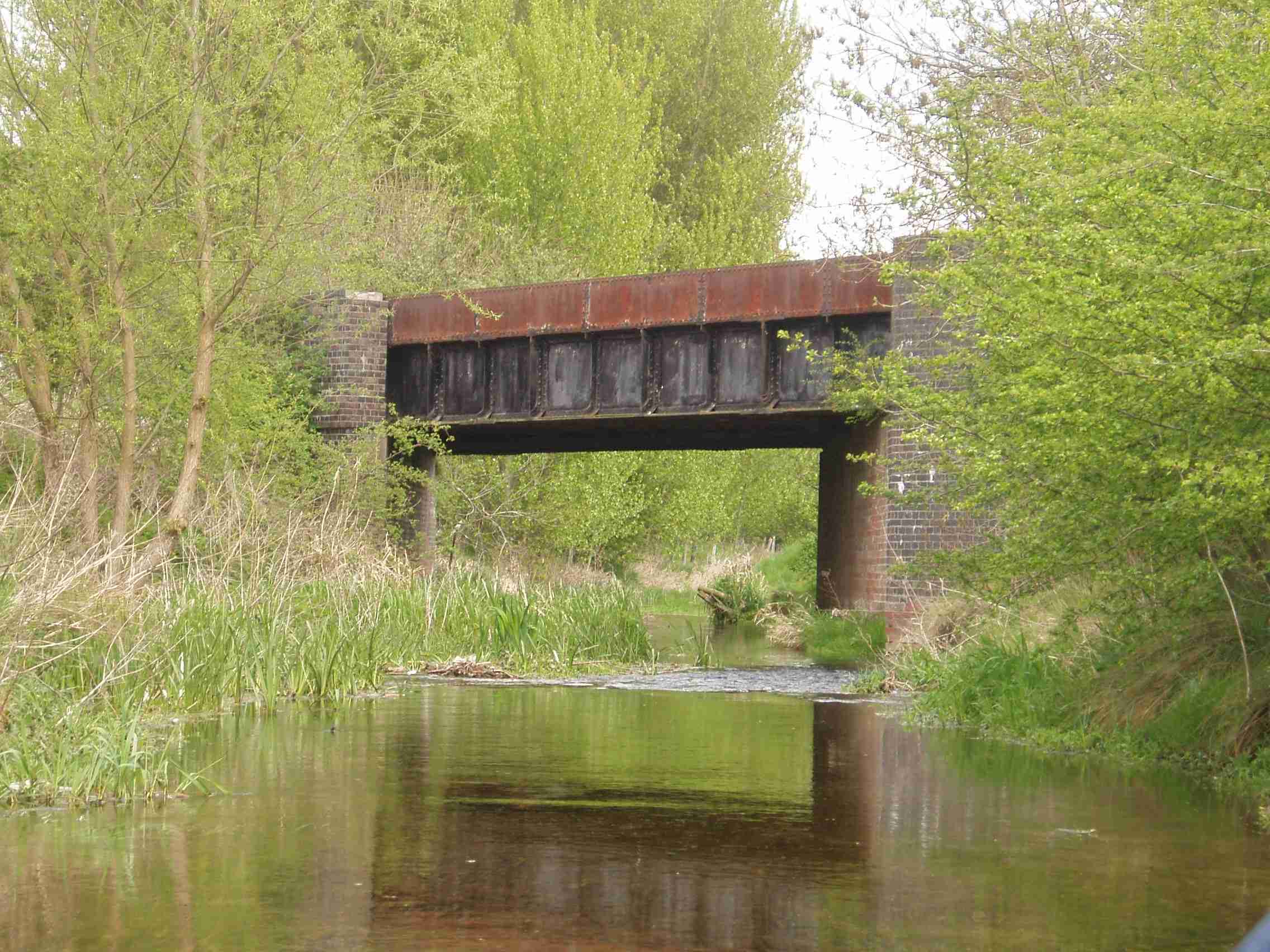
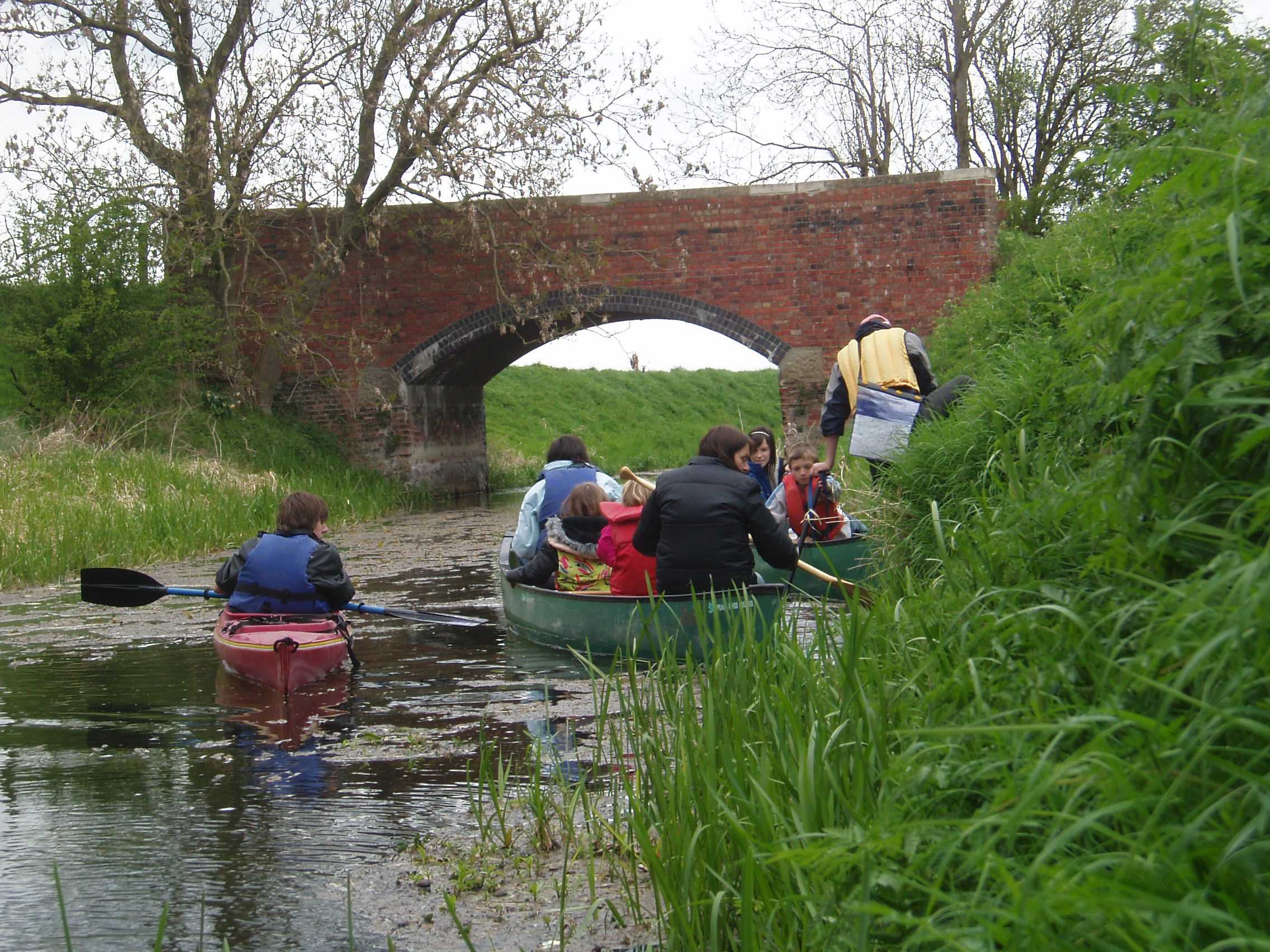
1 mile – railway bridge
1.5 miles – Bone Lock and A 17 Sleaford bypass bridge
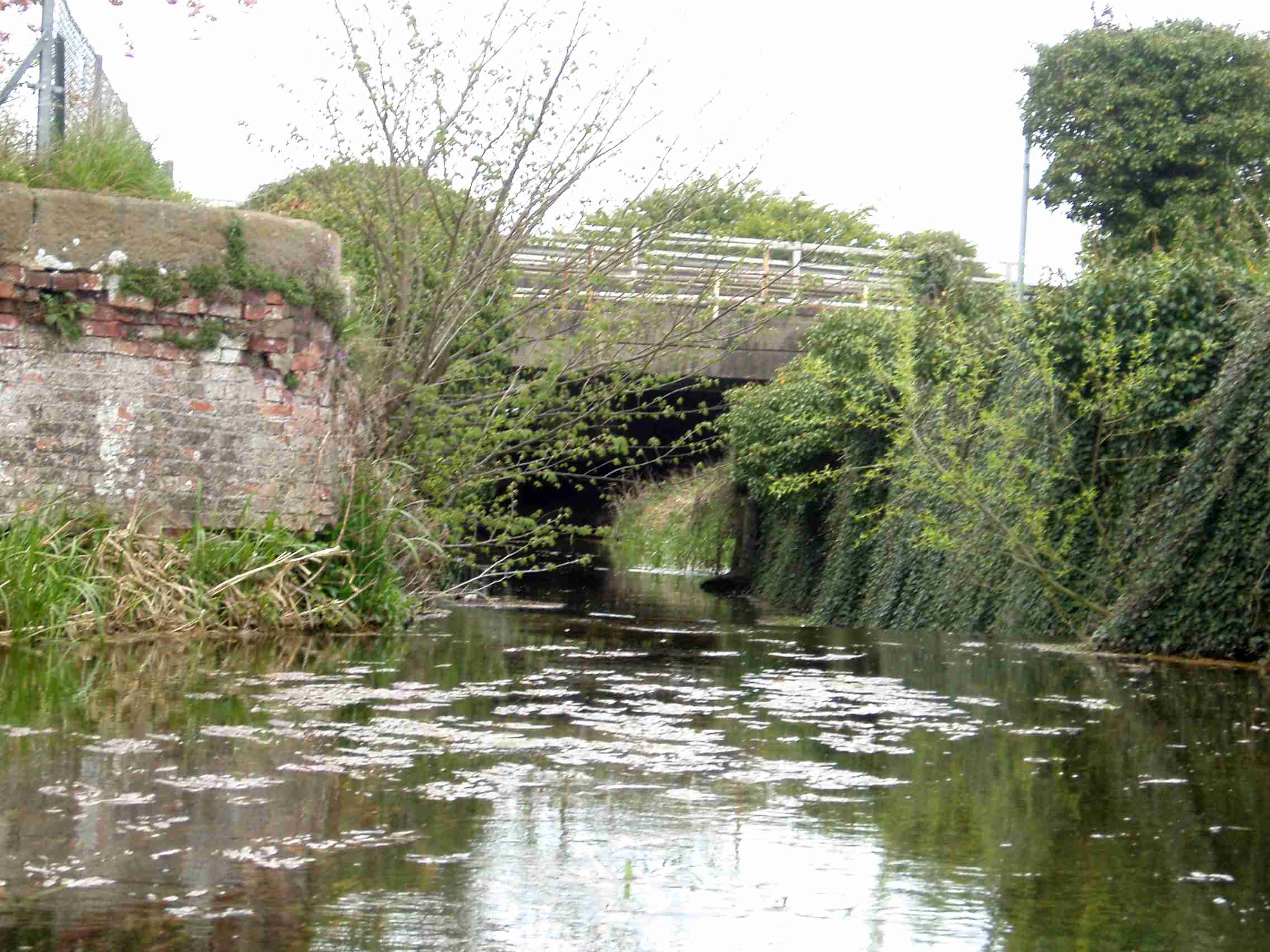
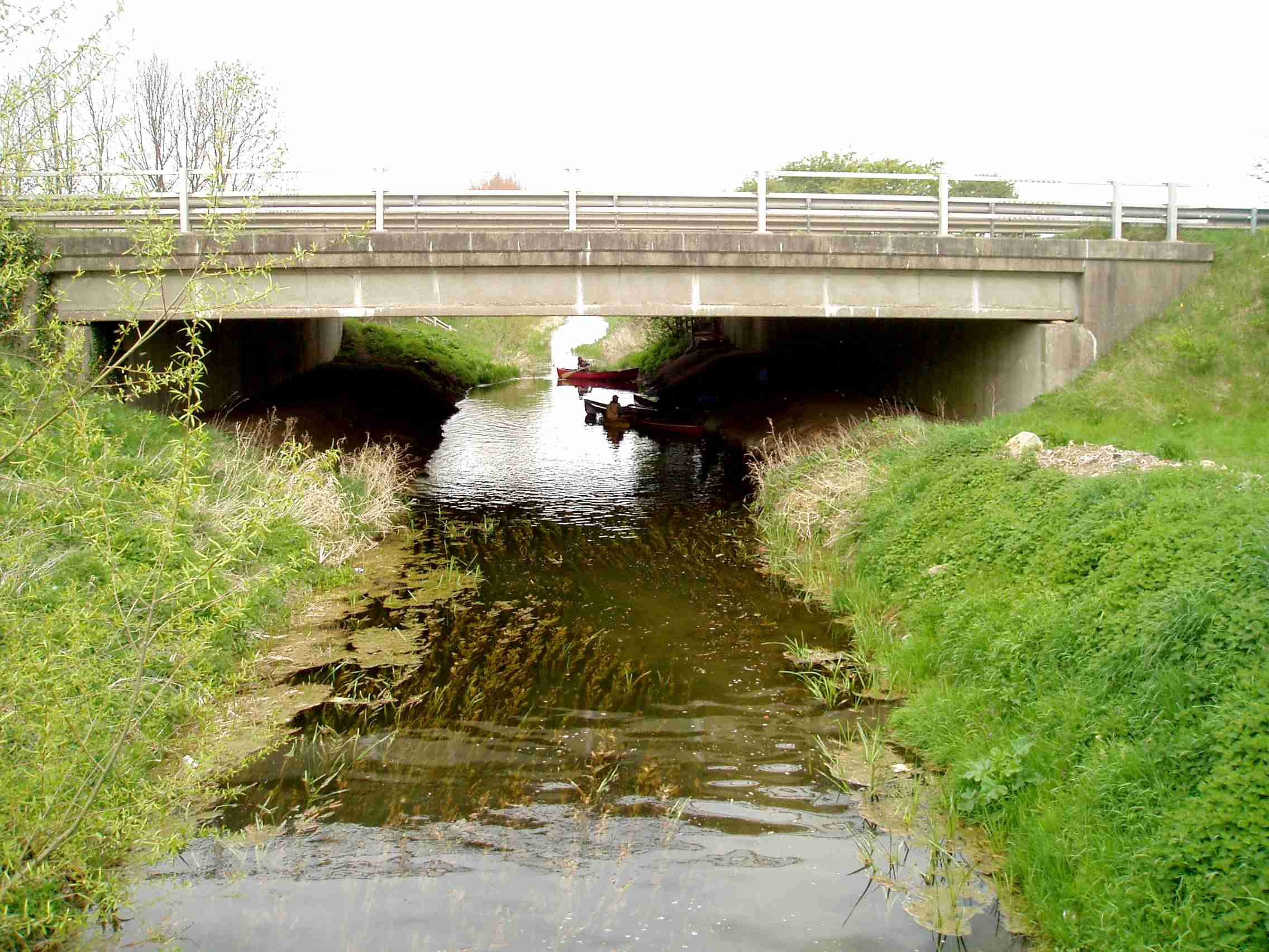
Portage right.
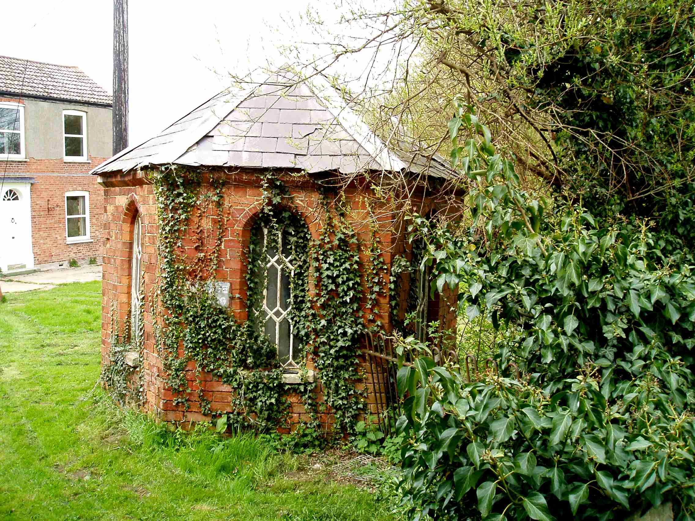
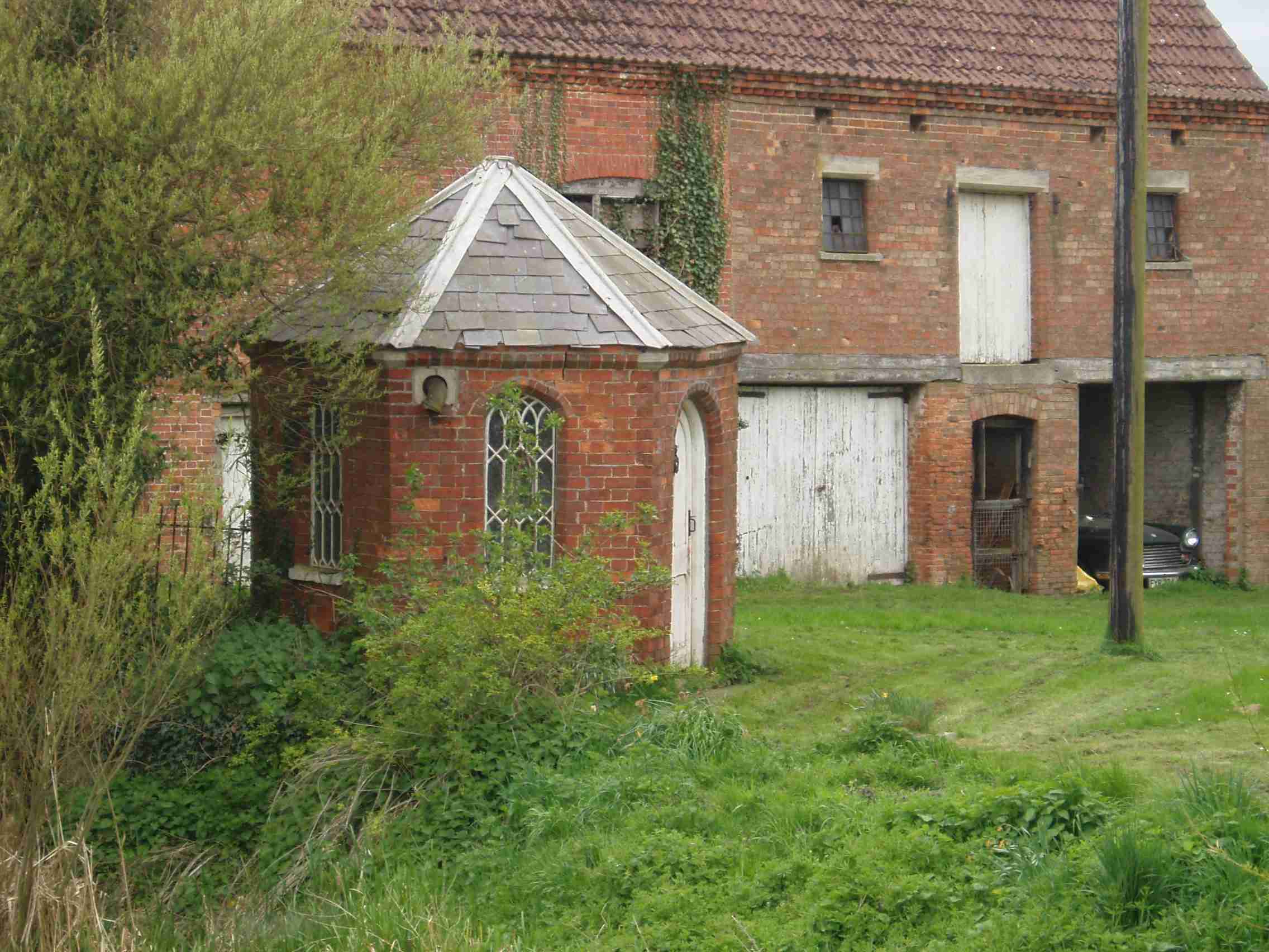
2 miles – Corn mill lock (remains) and footbridge. Holdingham flour mill left.
Portage right. Over the wooden bridge is the old flour mill and the hexagonal Navigations Toll Collection Office.
Look out for the naked woman on the left bank.

2.25 miles – Paper mill lock and road bridge (Also called Leasingham mill)
Portage right
2.8 miles – bridge

3 miles. Channel enters woodland.
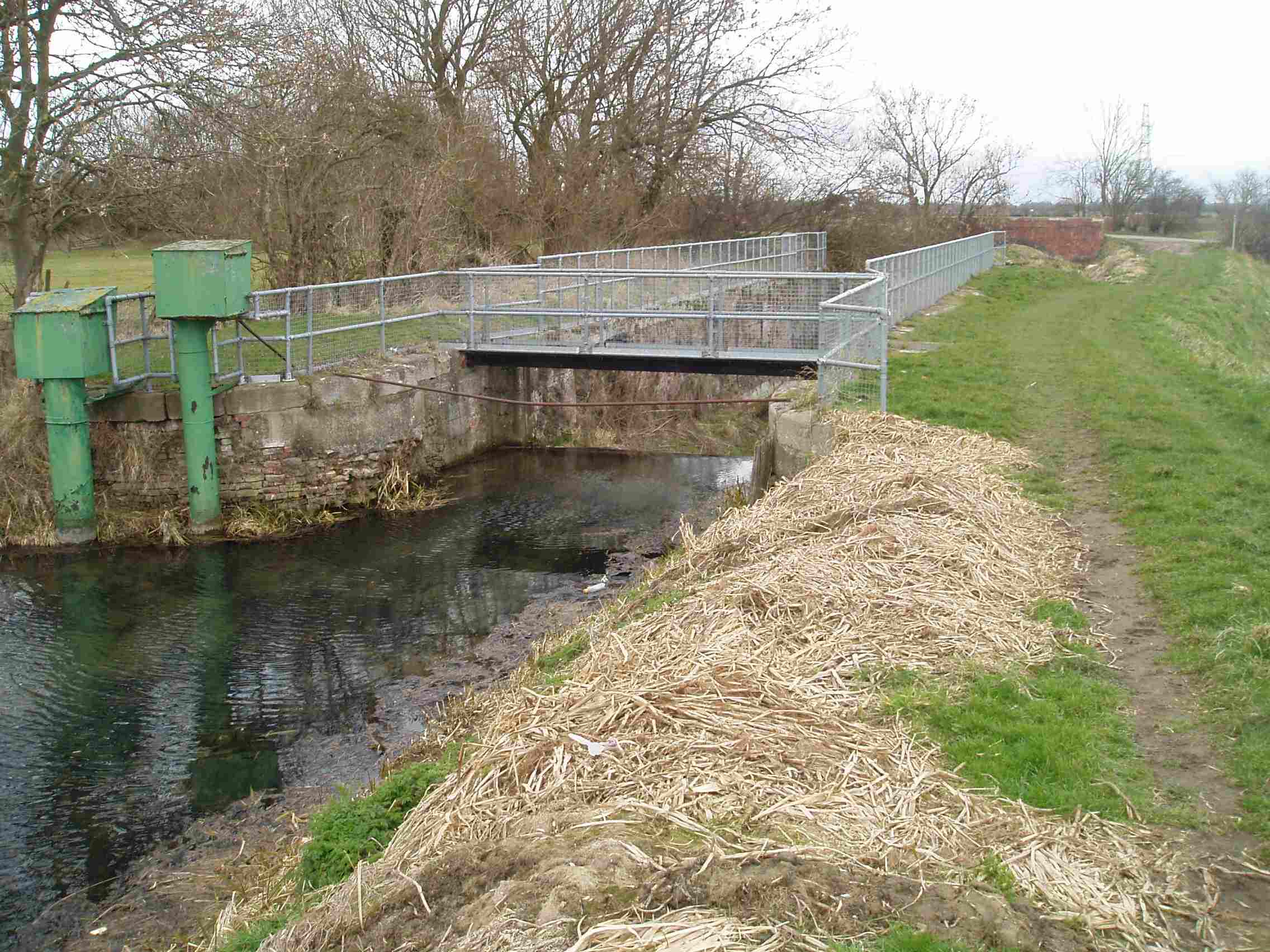
3.3 miles – Haverholme Lock
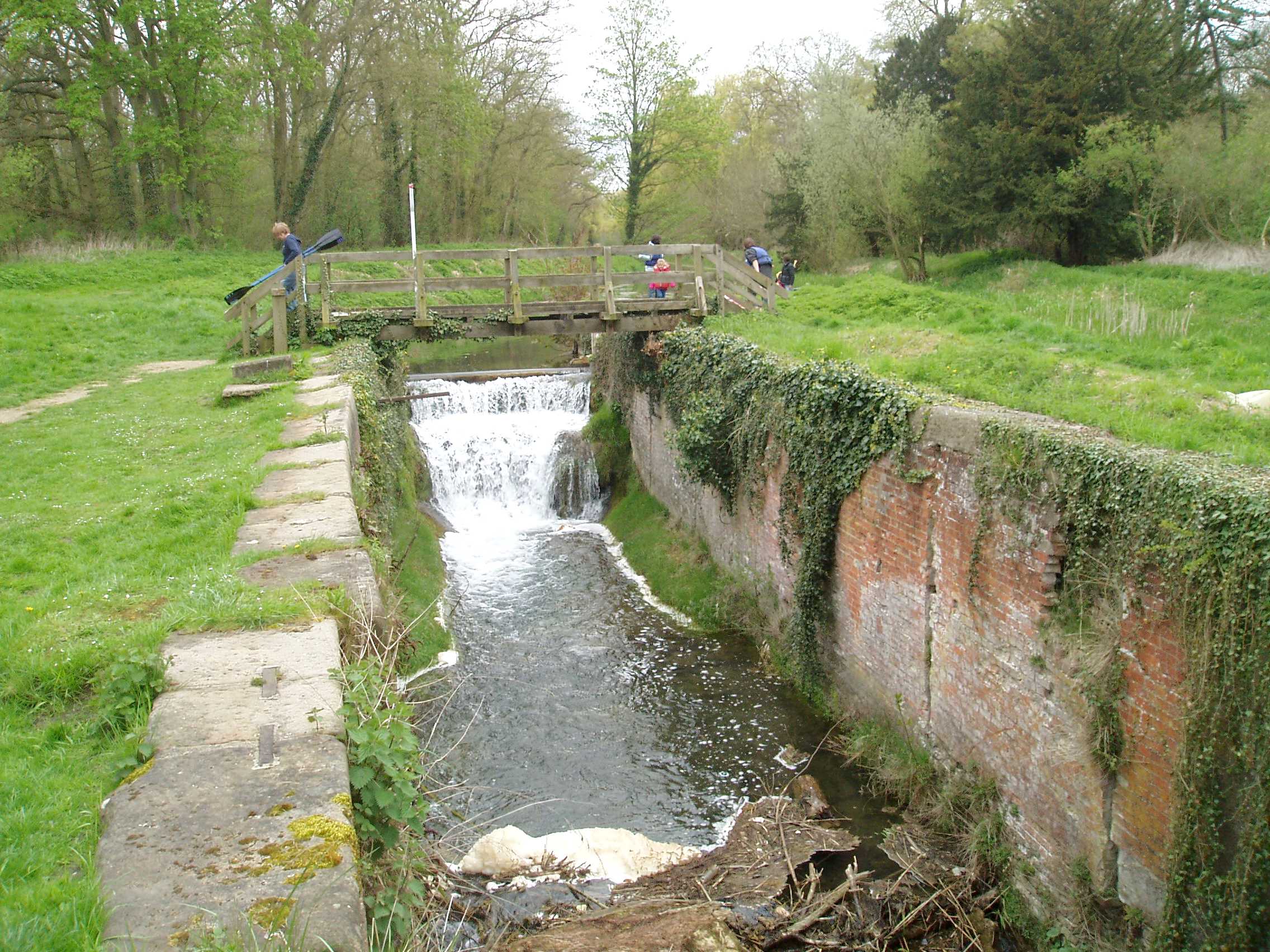
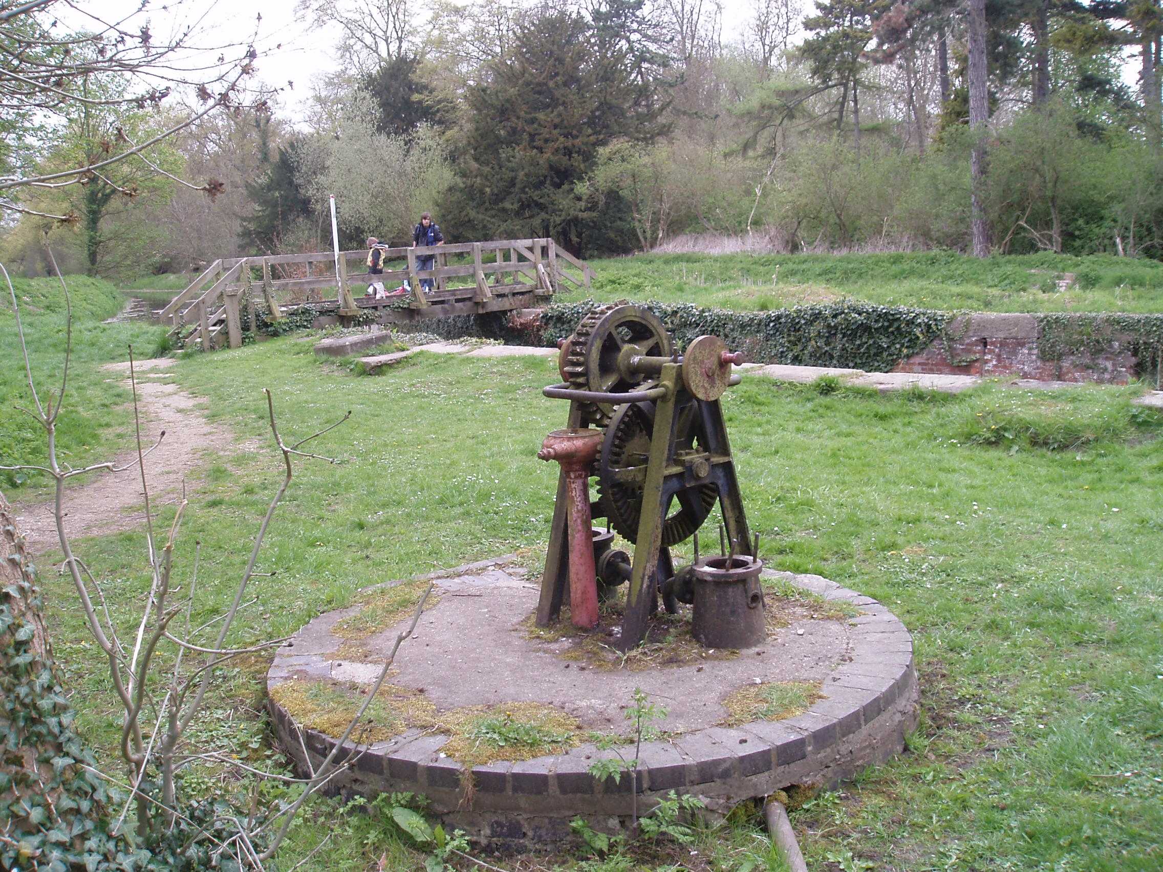
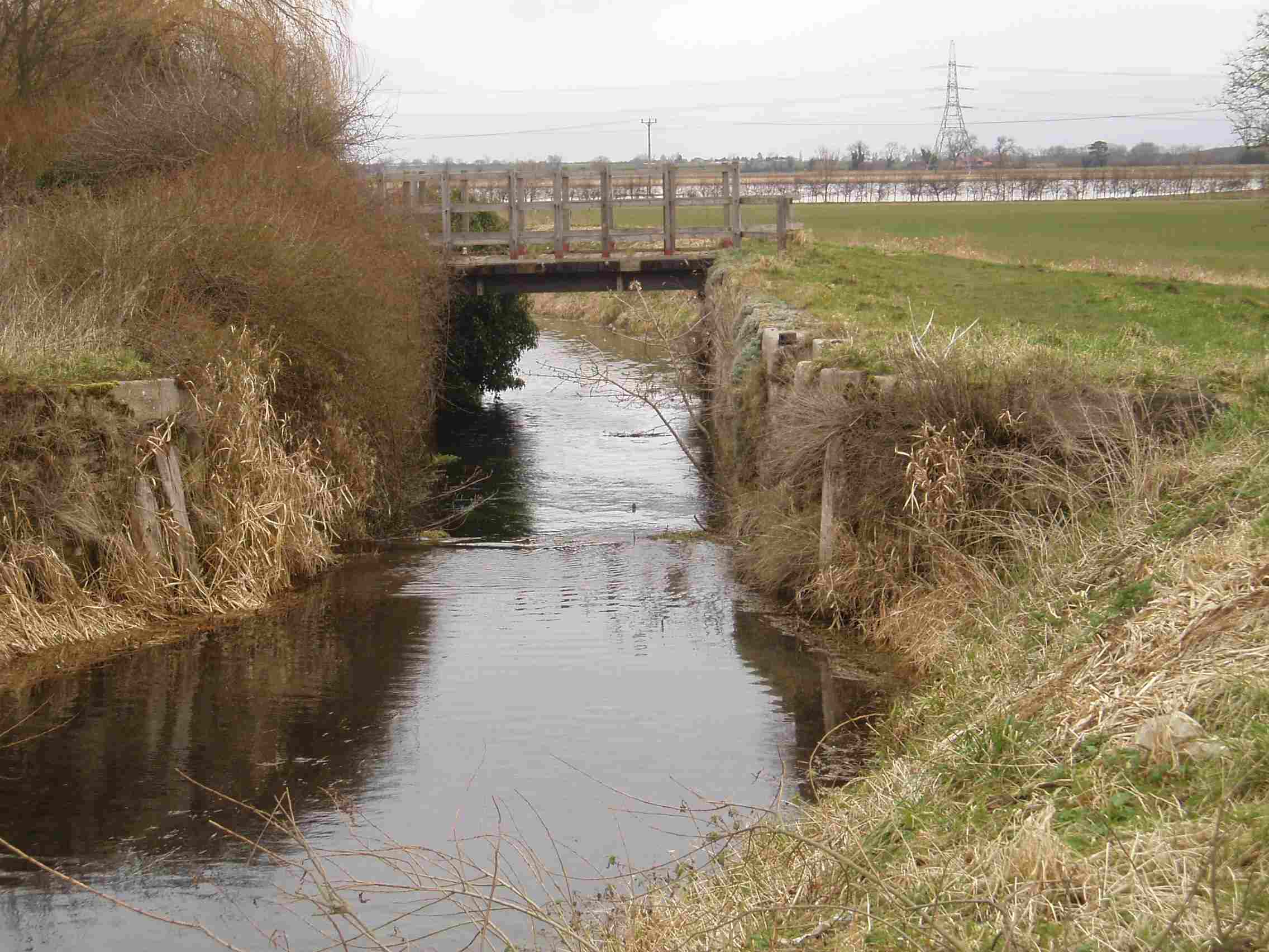
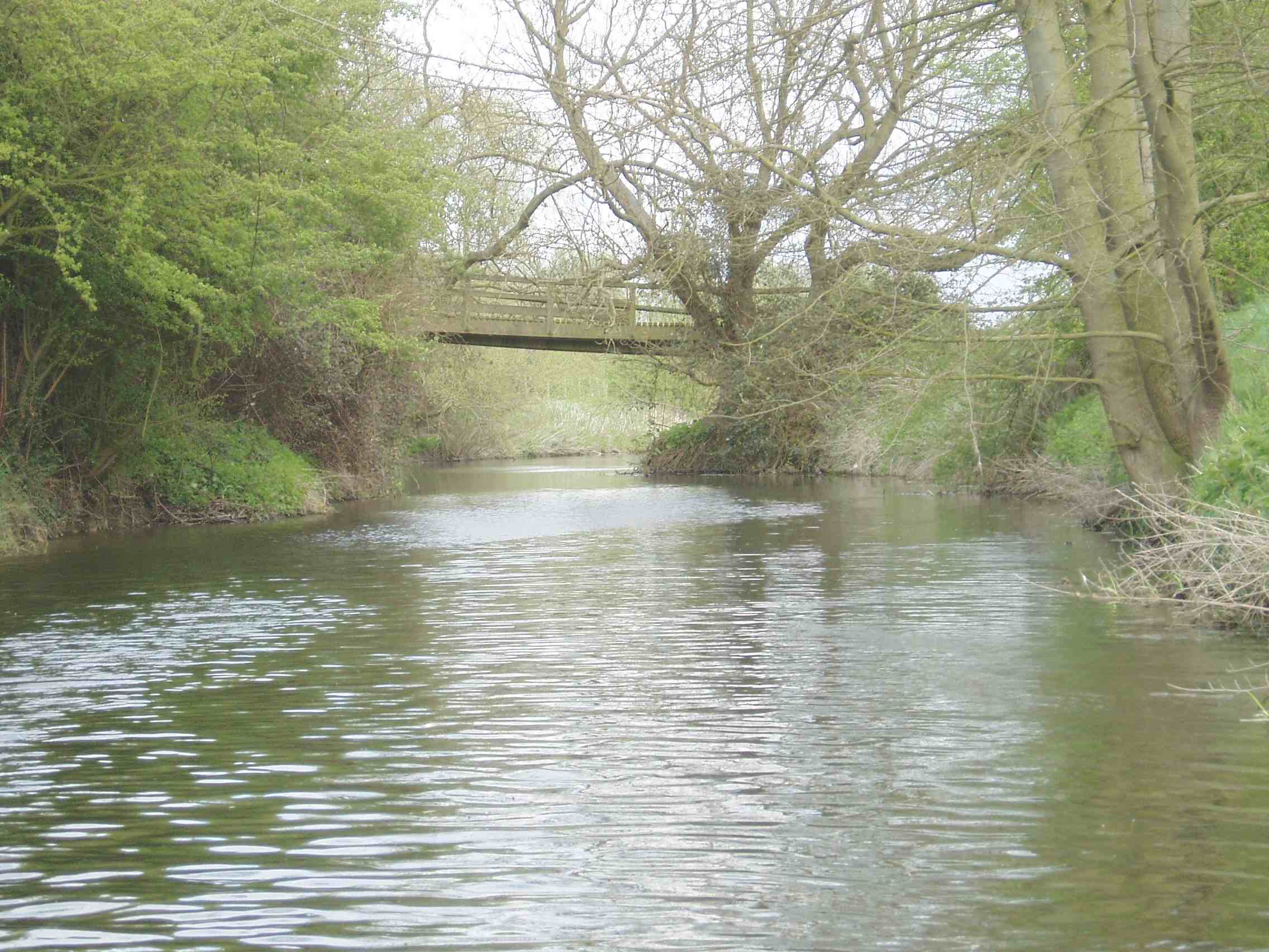
Footbridge
3.5 miles – Haverholme Priory bridge 1893
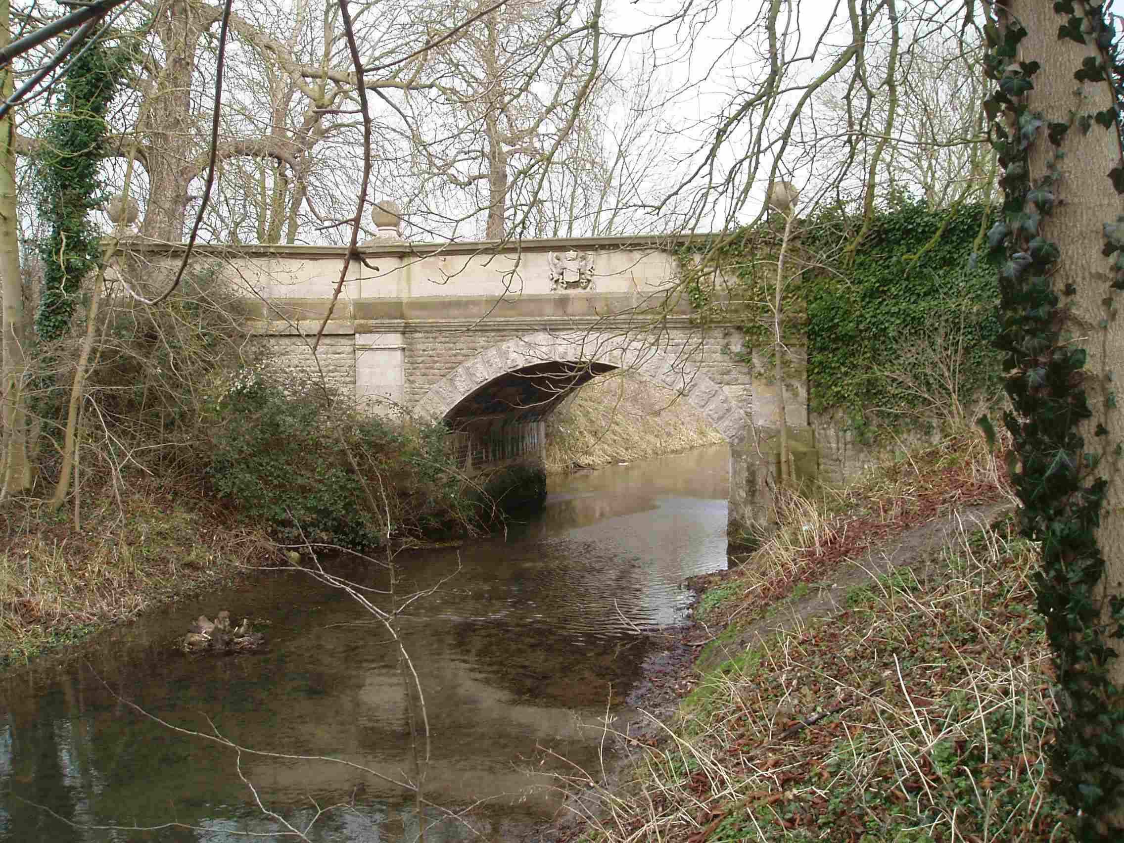
Towpath left but access right. Car park. The day I visited a crowd of “twitchers” had their cameras pointed at a pair of Hawfinches nesting in a tree next to the Priory. Apparently rare locally, although a regular at Clumber Park in Notts.
Stream enters left.
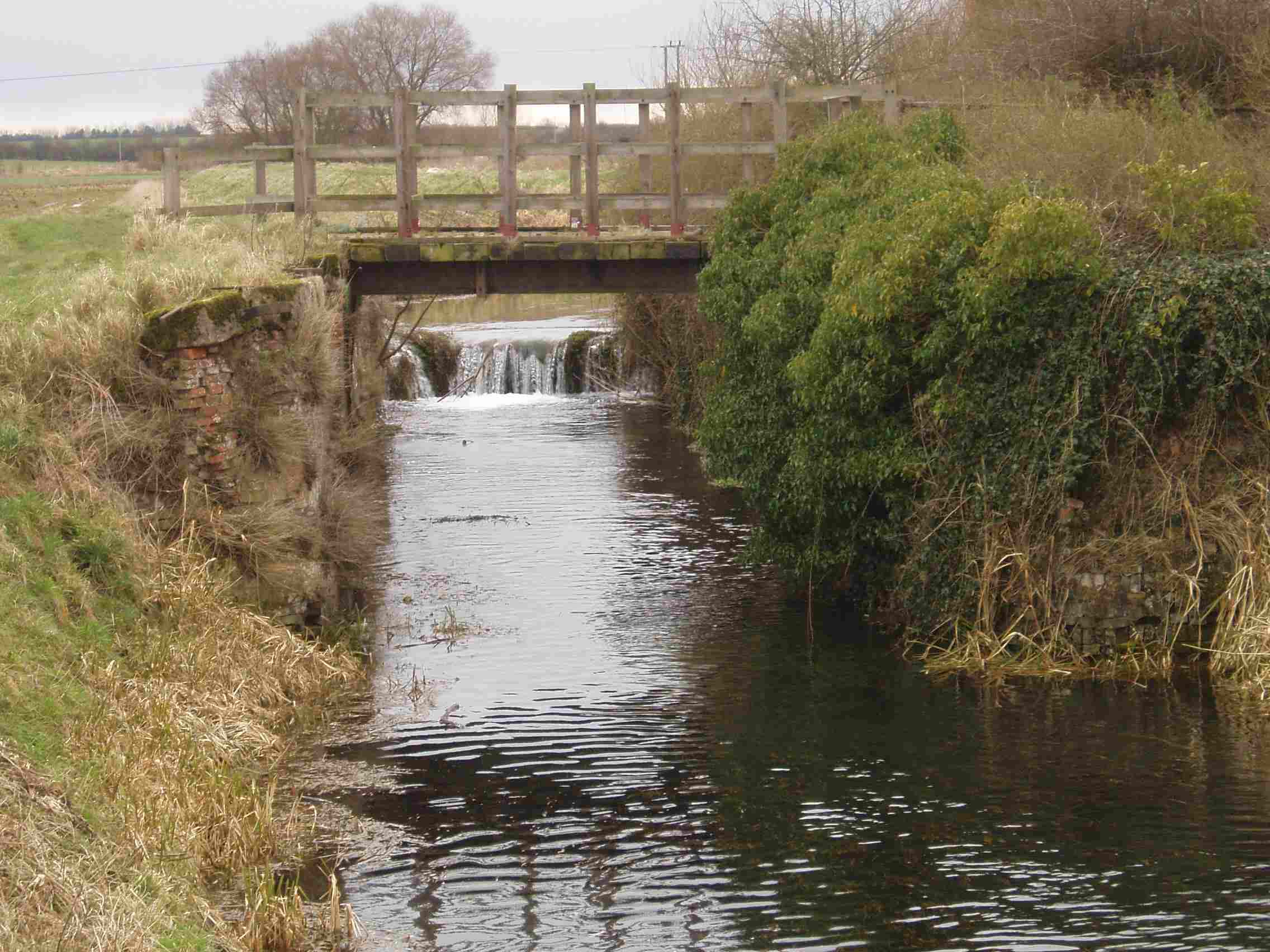
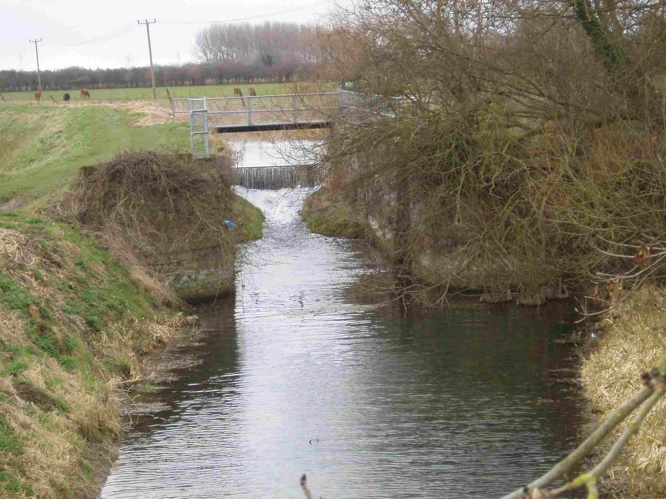
3.8 miles – Pipe bridge

Nicely raised to allow boats to pass when the navigation is restored.
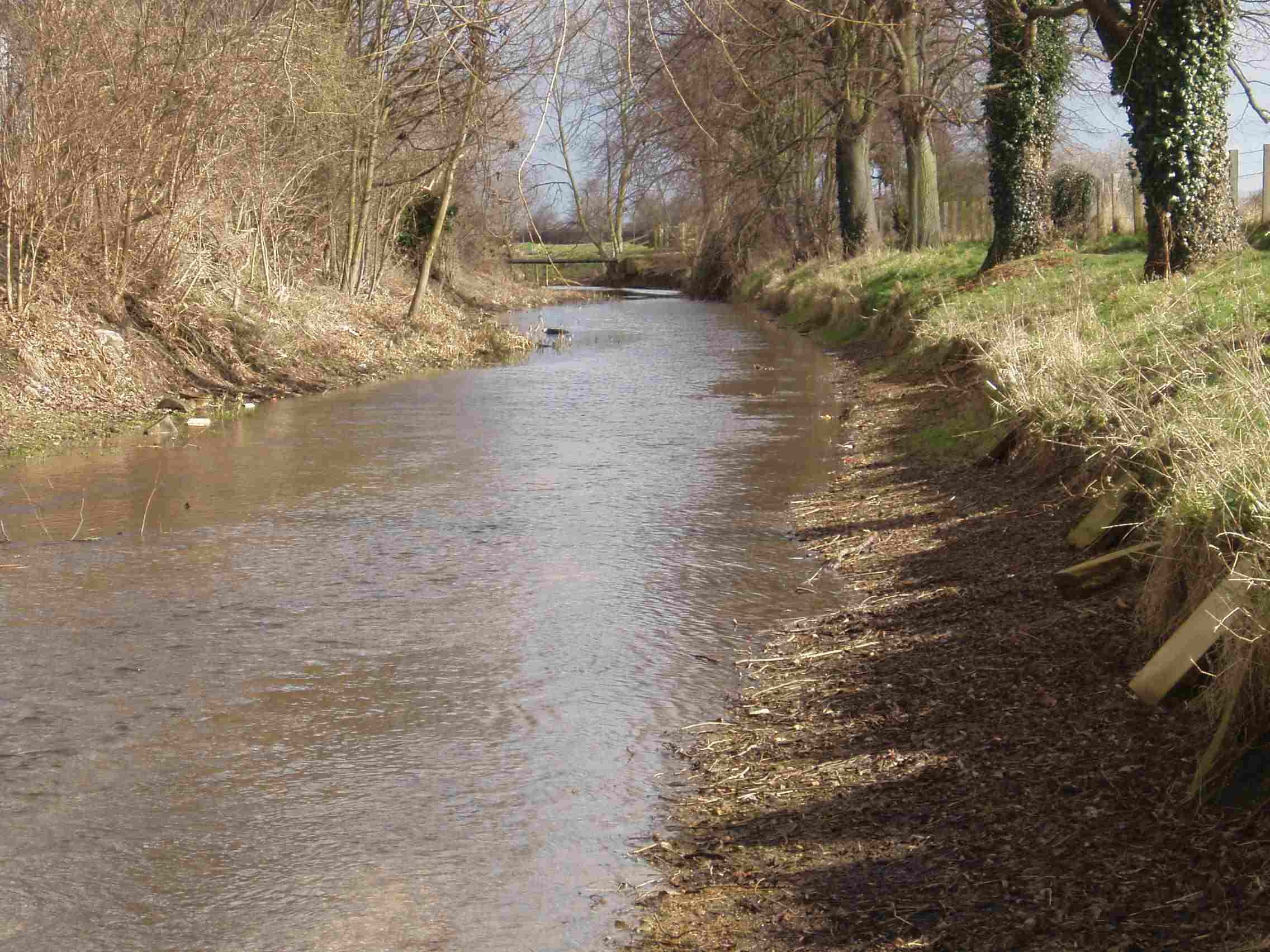
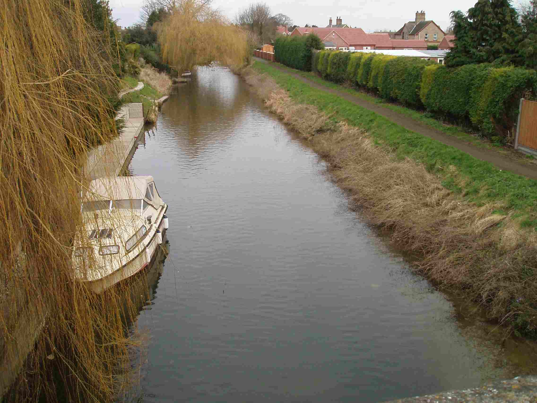
The river widens out and becomes deep enough to be paddled in normal conditions for the rest of its length.
4.8 miles – Arnwick
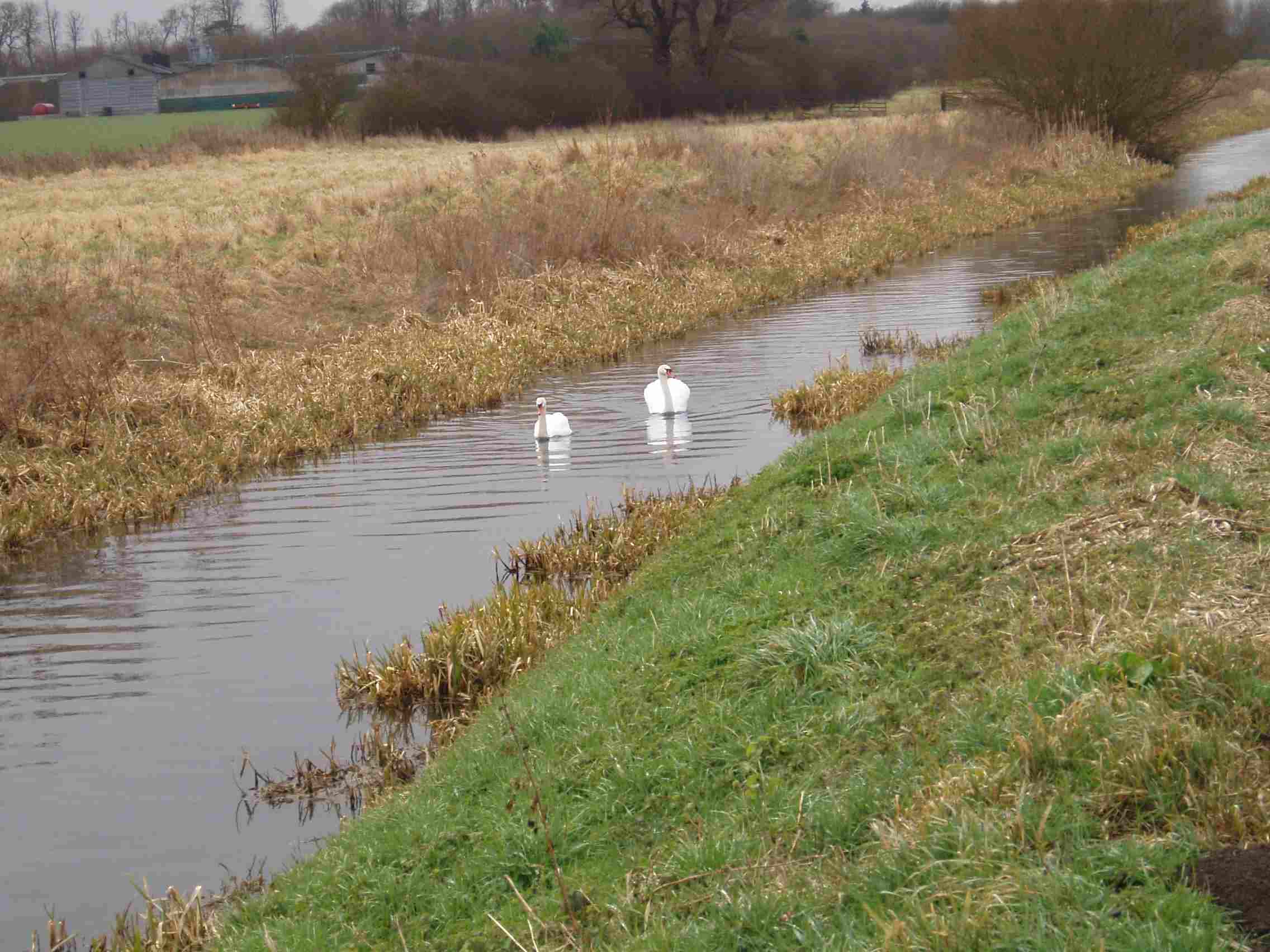
Access left. Land about 100 yards after the four tall concrete structures.
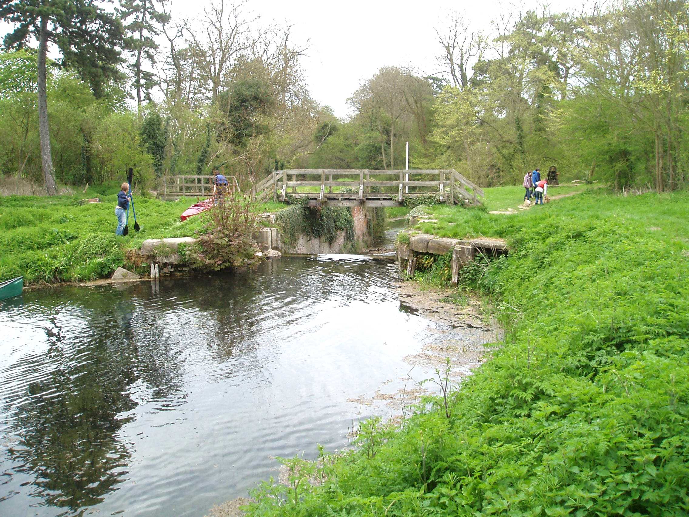
5 miles – Cobblers Lock
Portage left or line down. This lock is being restored, although there wasn’t much activity when we paddled through in April 2006. Landing stage below the lock.
The Old River Slea which left the navigation above Cogglesford rejoins right below the lock.
7.2 miles – Ferry Farm corner

Sharp right turn. The river name changes to the Kyme Eau here. The next section is part of an old Roman canal which ran from Waterbeach to Lincoln, the Car Dyke.
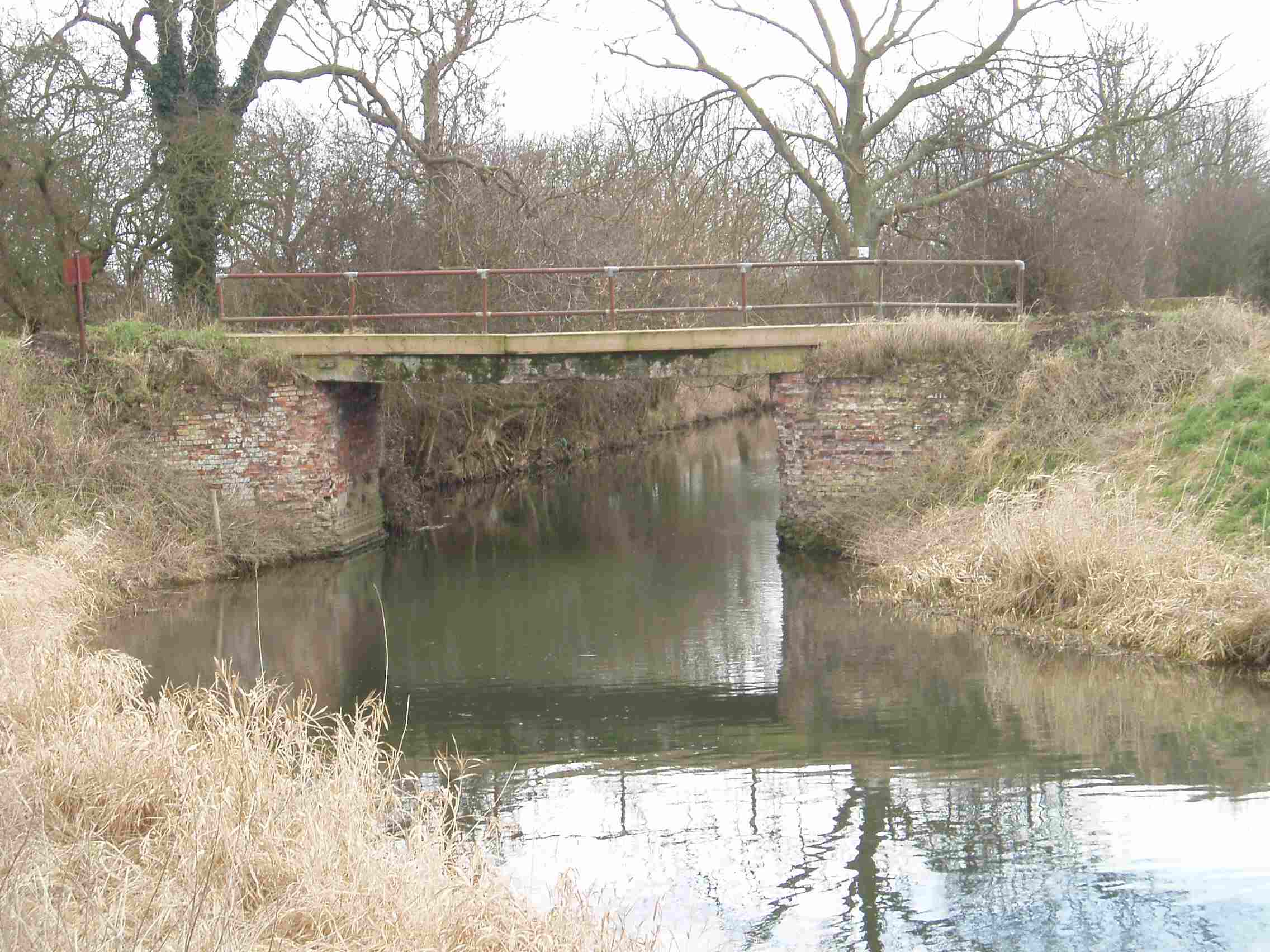
8 miles – metal farm bridge
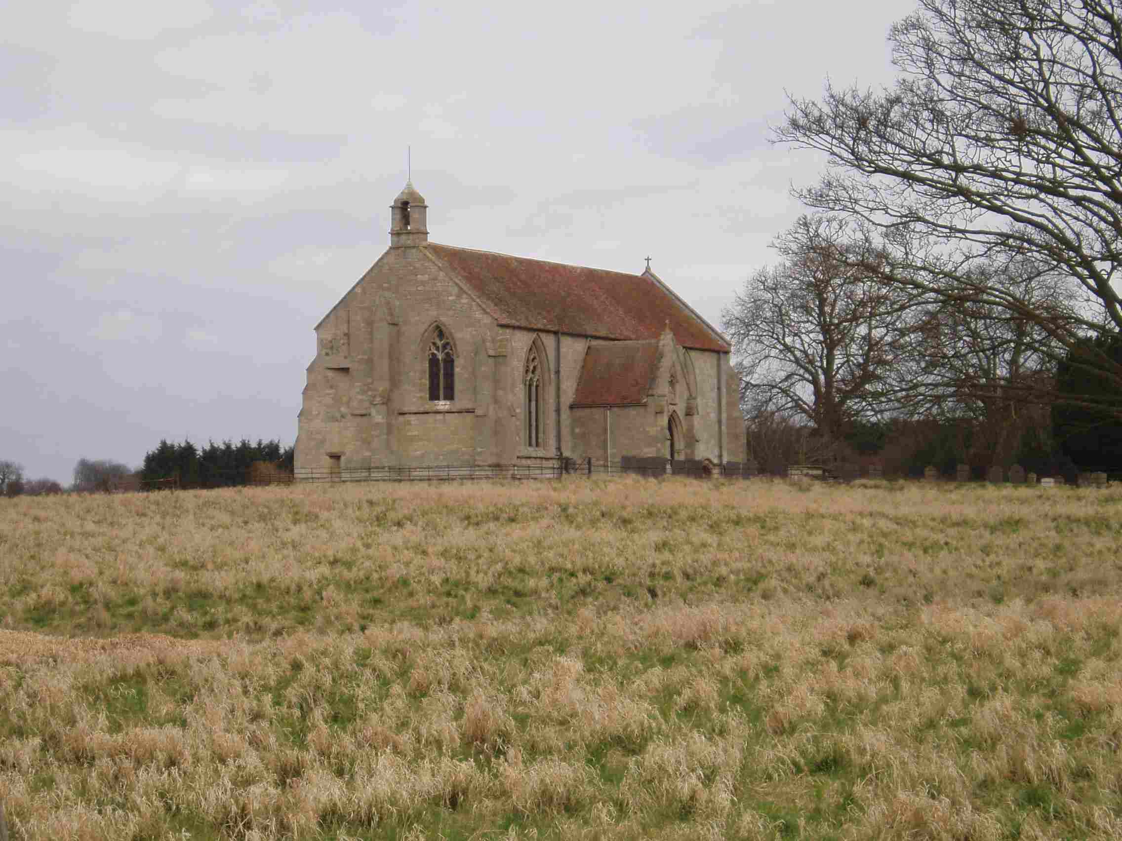
8.4 miles – Farm bridge on the outskirts of South Kyme
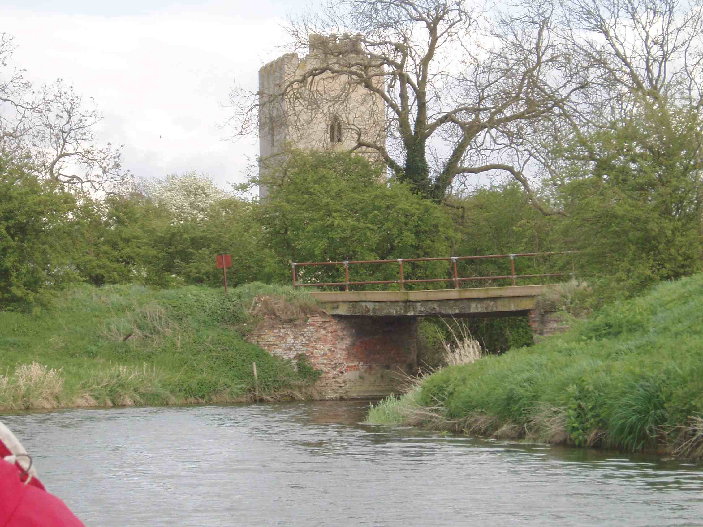
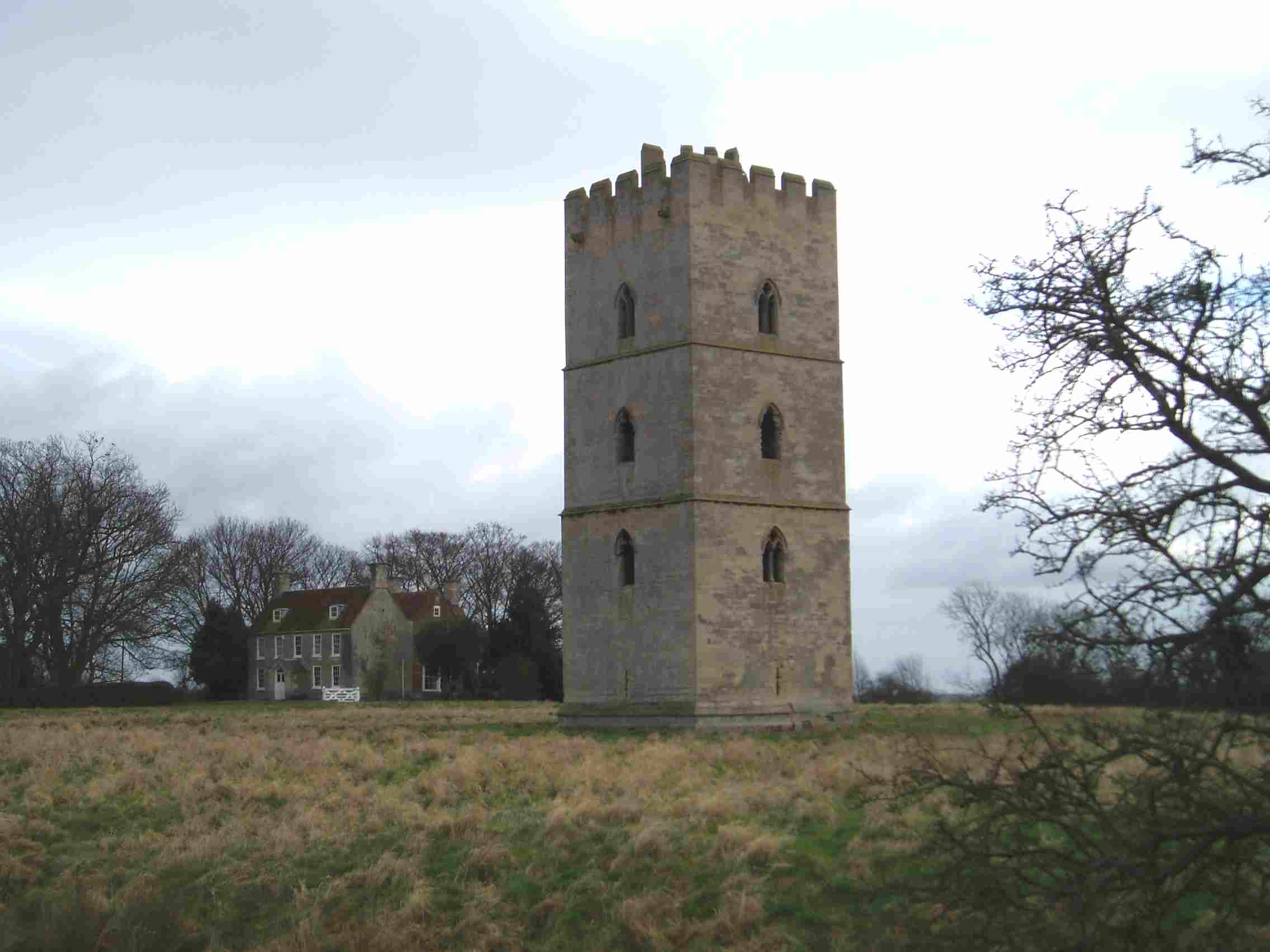
South Kyme church and separate tower left. The tower was built in the 1350s by Gilbert de Umfraville. Originally four towers formed a substantial castle but only one remains.
Rickety bridge
9 miles – South Kyme bridge
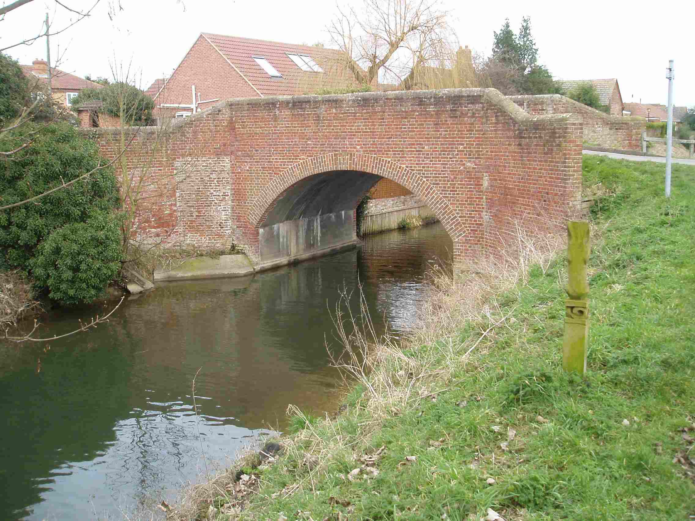

The Hume Arms left has now closed. But the word is that a restaurant will be opening on the same site later in 2006. South Kyme is a lovely village.
9.3 miles – B1395 bridge
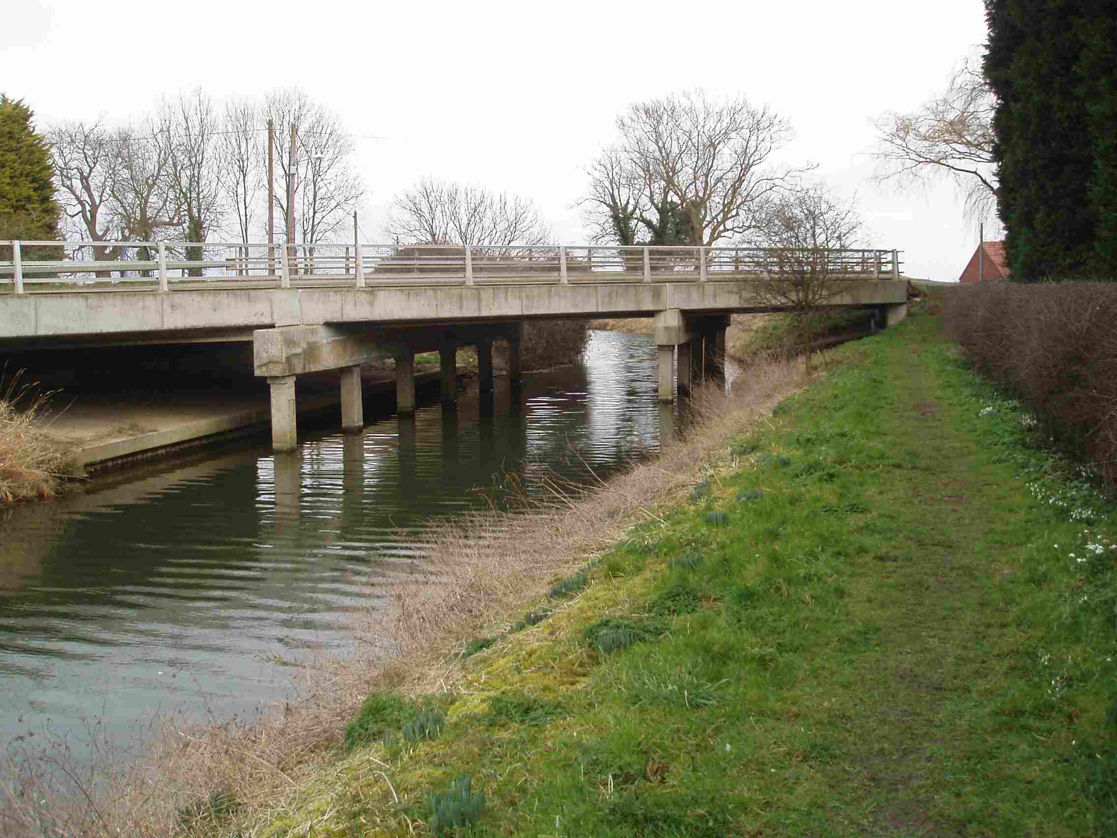

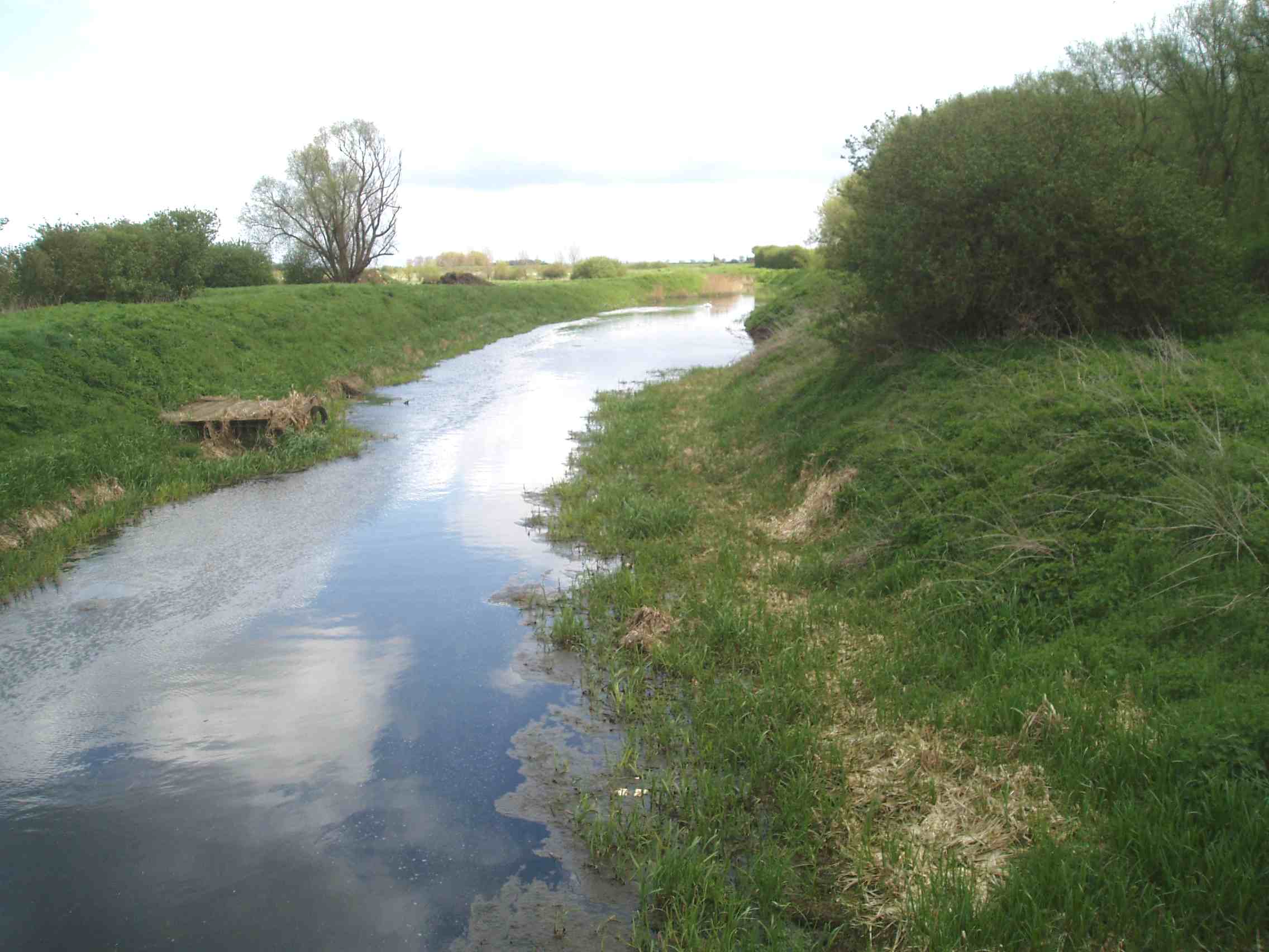
The river turns northwards. High embankments in open farmland.
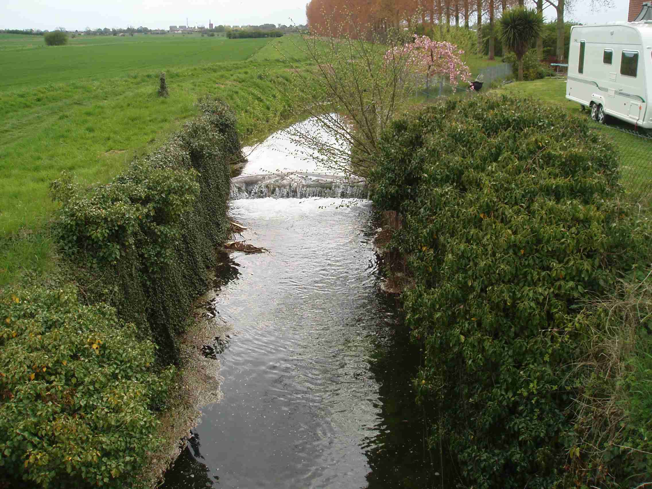
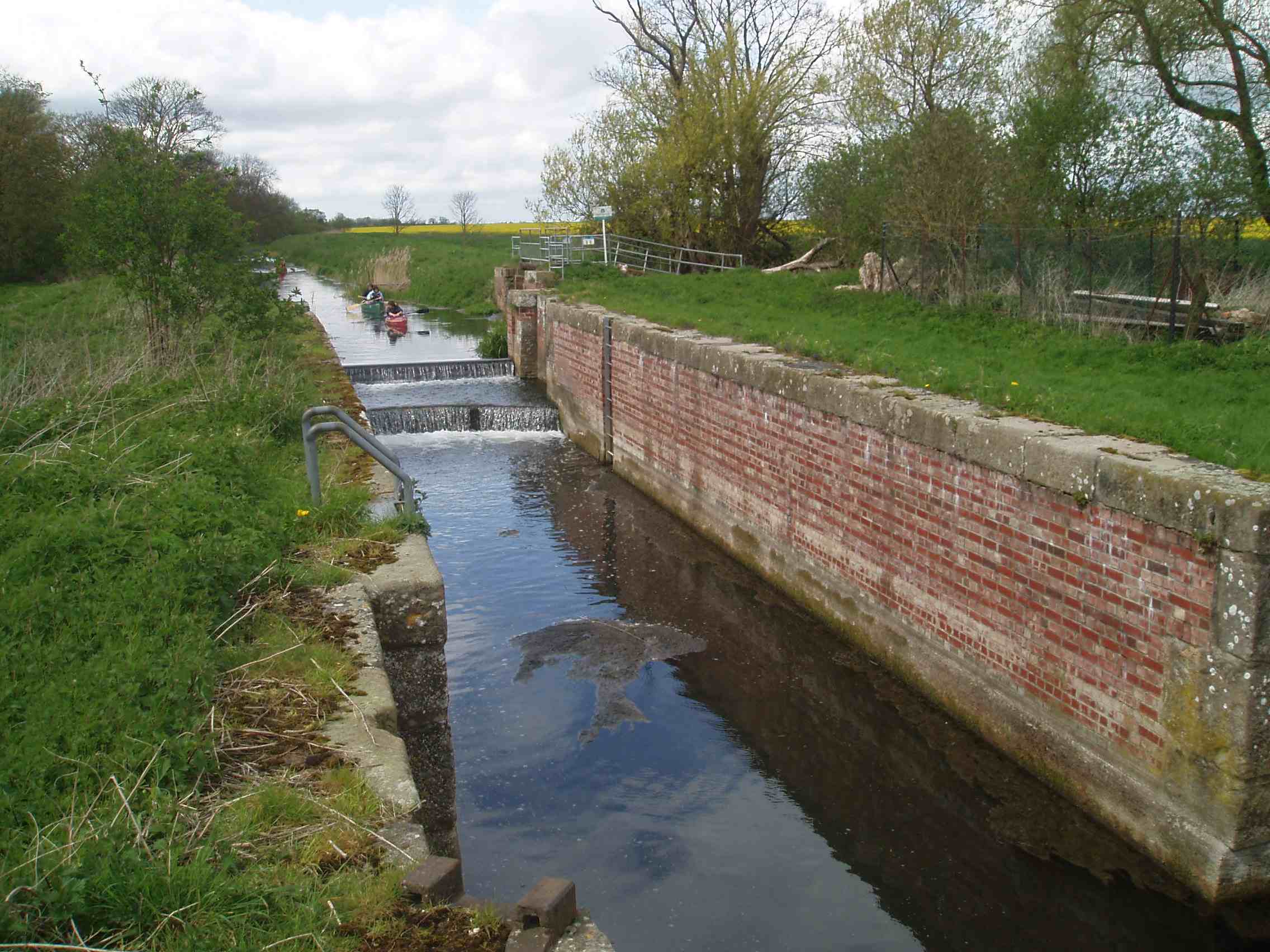
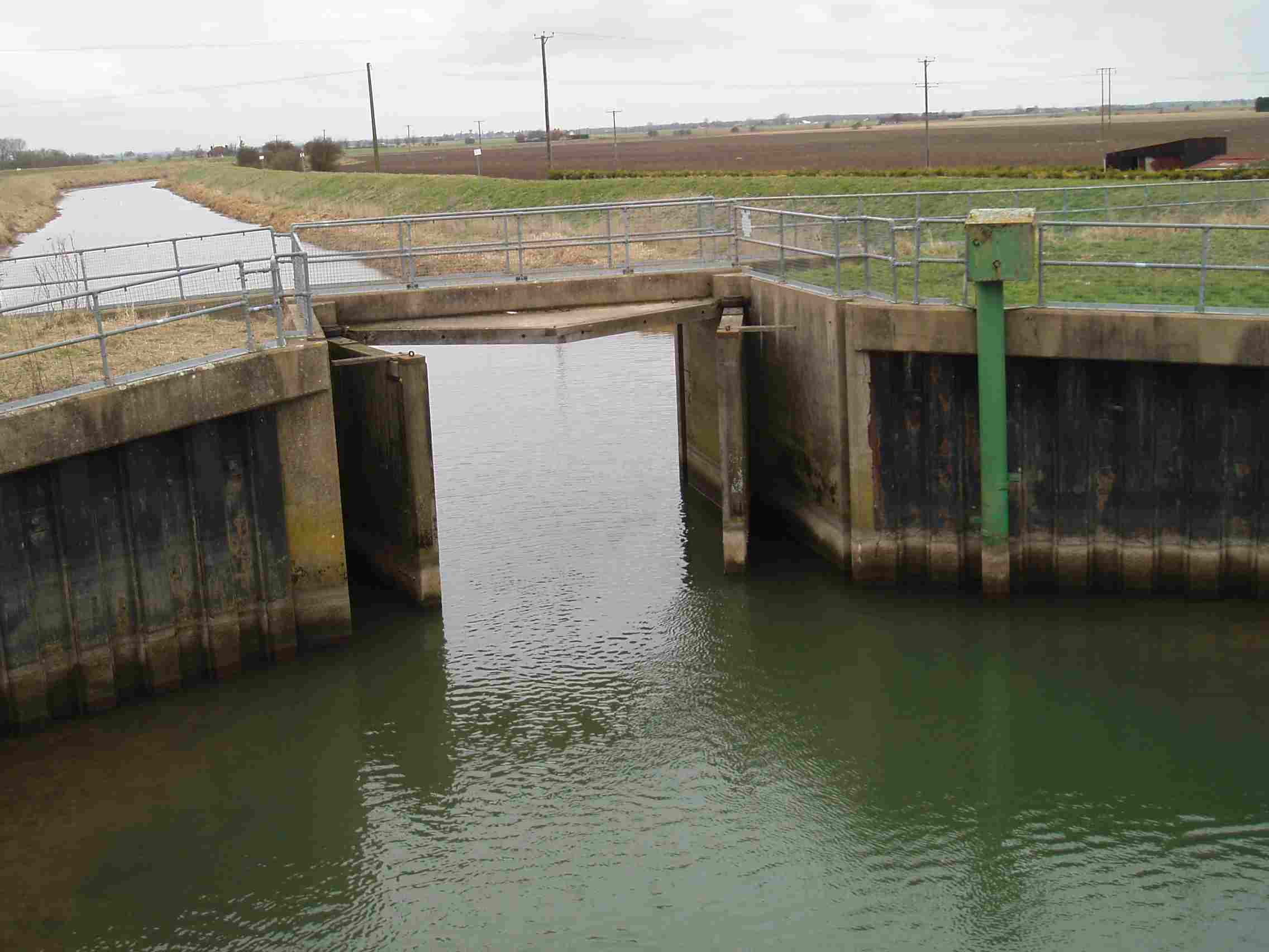
11 miles – Lower Kyme Lock
Restored with a guillotine gate at its upstream end.
12 miles – Bridge Farm bridge
13 miles – Chapel Hill bridge
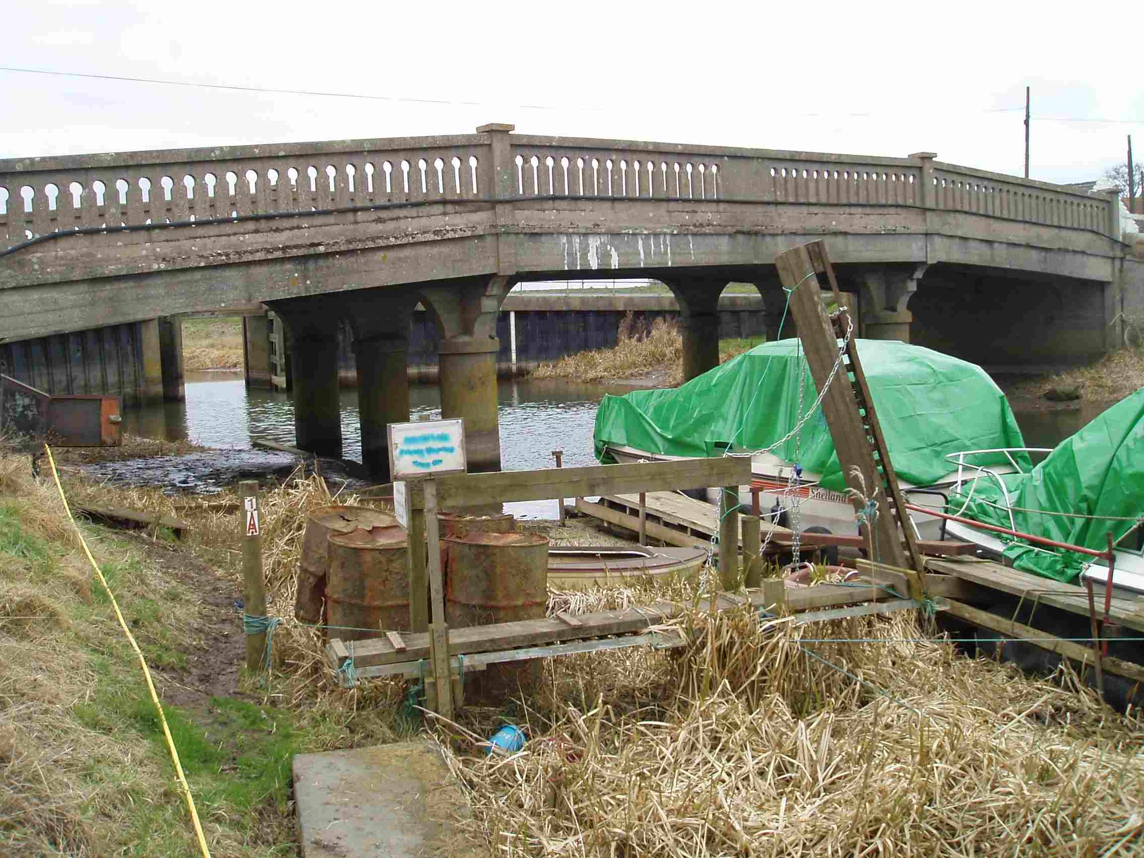
Automatic flood control gates, usually open. Roadside parking. Crown Lodge left.
Camping at Orchard Caravans and Camping Park. Tel 01526 342414, mobile 07810 603723
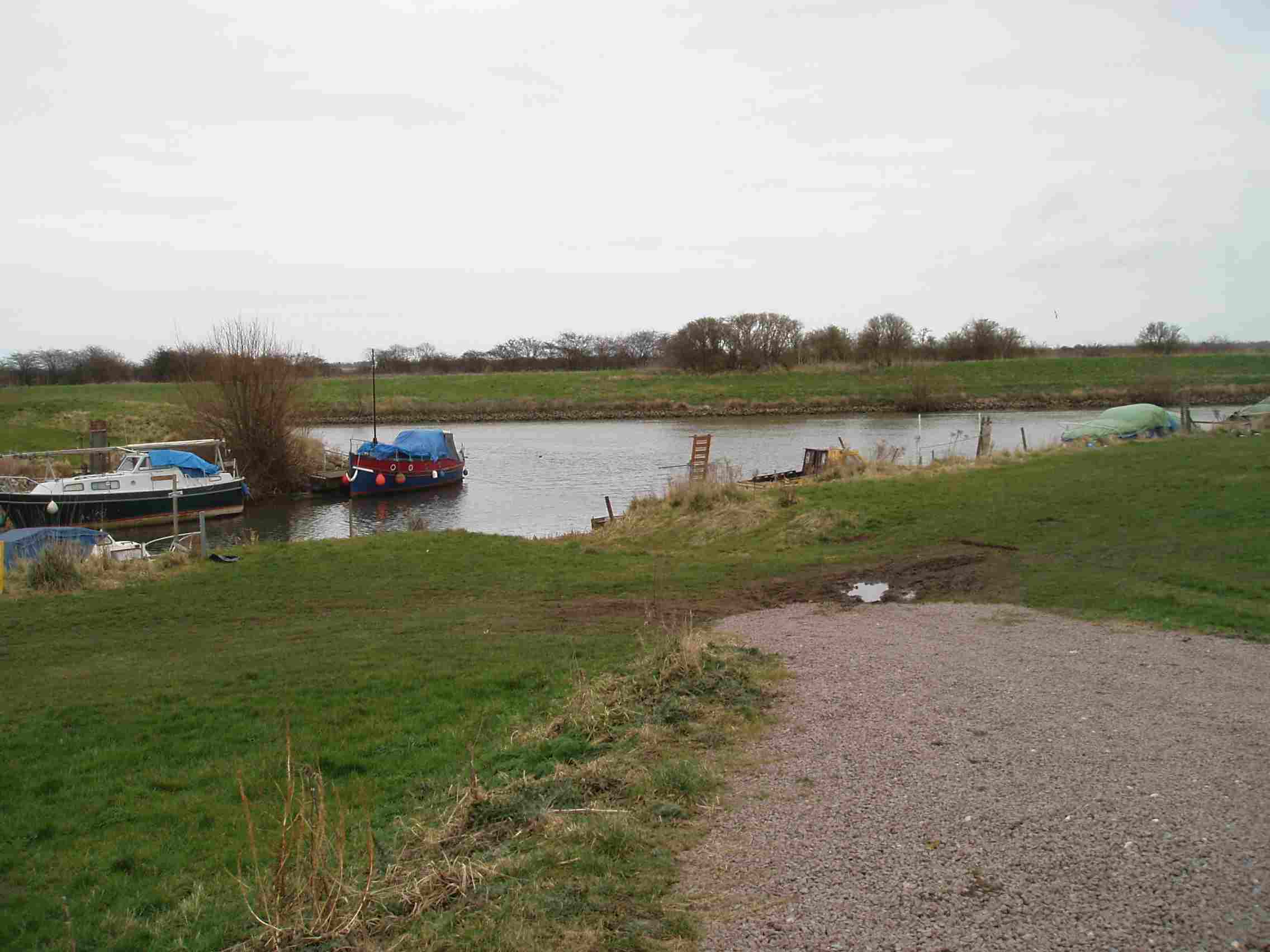
Moorings from here to the River Witham.

Jim Thornton
