Mosel canoeing
Traben Trarbach to the Rhine
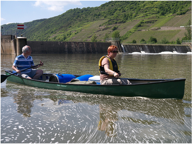
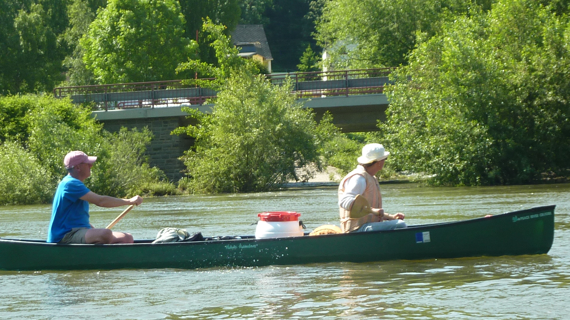
This is great canoe touring, safe and scenic with excellent camp sites, a few wild ones, and plenty of famous wines and beers to drink. Tour boats and industrial barges add interest, and the railway follows the river, so getting back to the top is easy. But we met only one other canoeist over a whole week in June. Sure, the dams occasionally need portaging, and it can be hard work in a headwind, but that hardly explains the neglect.
Although the best wine comes from the middle Mosel, this lower section also runs through fine vineyards, culminating at Winningen in a steep south-facing terrace that produces the real top stuff. If you’re nervous of venturing onto the Rhine this is a good place to finish.
For Trier to Traben Trarbach click here. Bank markers give the distance in km from the Rhine, but those below are approximate km from Trier.
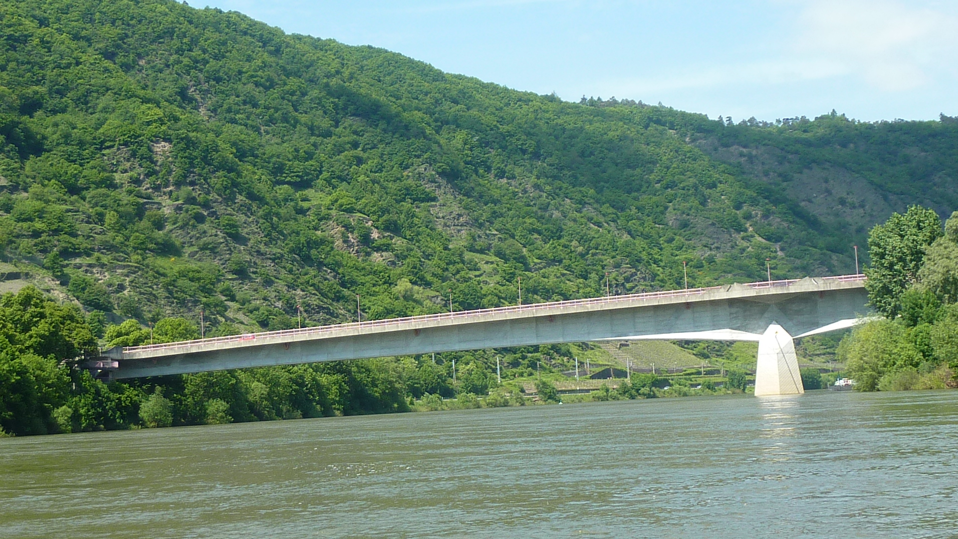
88 km – Camping Rissbach left (click here). In 2013 ground was being broken for the B50 motorway crossing.
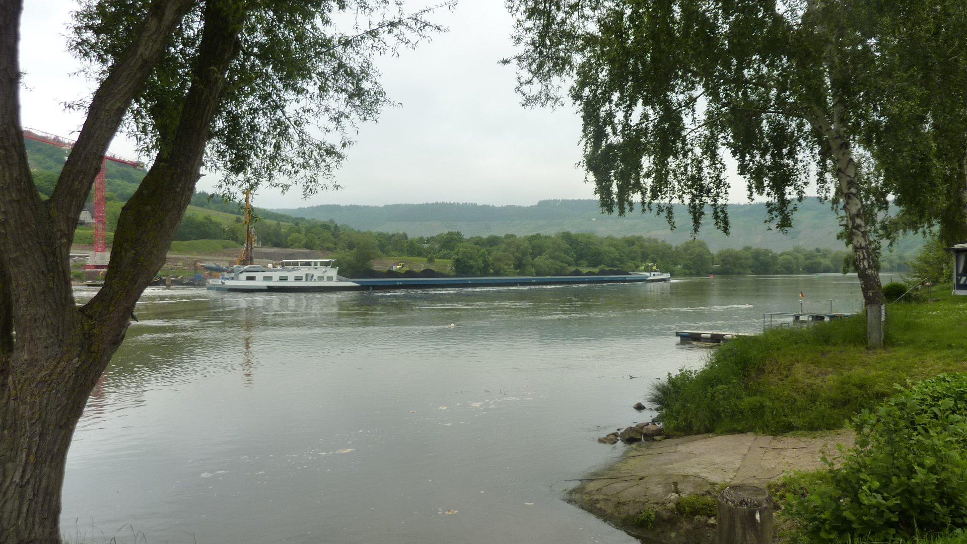

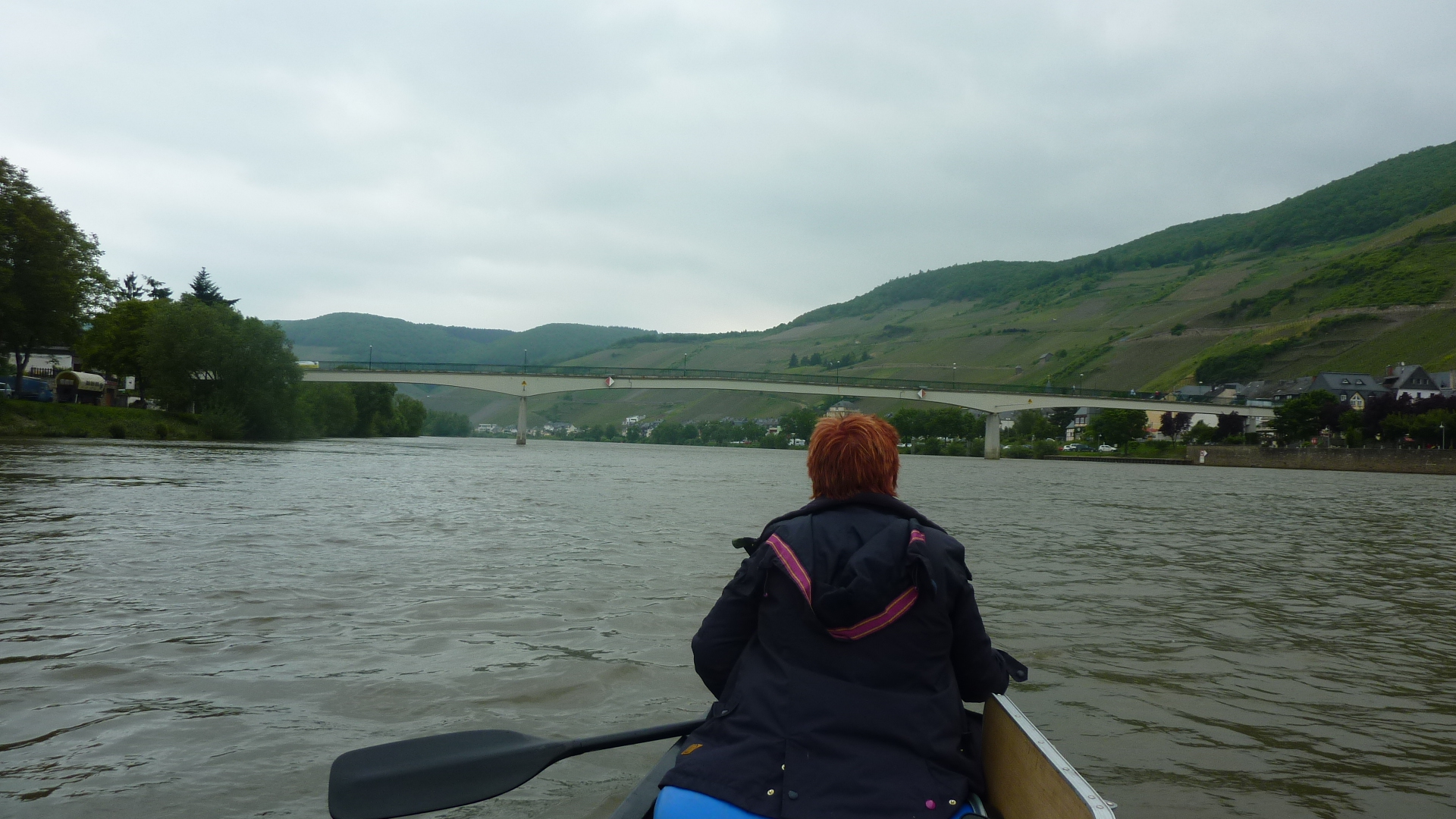
90 km – Traben Trabach.


91.5 km – small boat harbour left
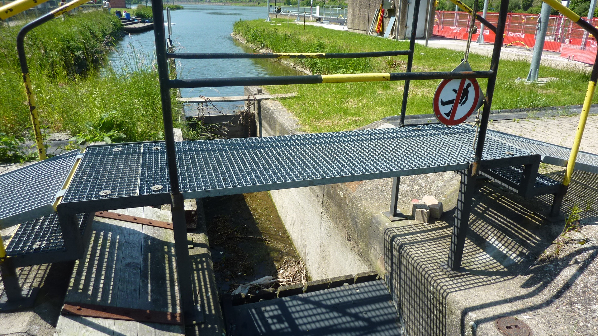
93 km – Enkirk right. Locks and dam.
Big lock left, small lock and canoe portage, dam and power station right. Built in 1966, with a 7.5M drop and 18.4MW capacity

When the river is high canoes are encouraged to use the big locks. There’s no worry about wasting water, and it keeps us away from the weirs.
94 km – Enkirch right. Enkirch großbach joins right.

The campsite right, just after the stream, caters mainly for motor homes, but there is a shower and toilet block, and you can camp. Someone comes round every evening to collect the money.
98 km – Reil road bridge. Reil left.

Three campsites between Reil and Punderich – left after the bridge for motorhomes, on the right bank 0.5 km on, and another at the apex of the bend opposite the viaduct. I’ve no details of any.
100 km – Punderich railway viaduct left


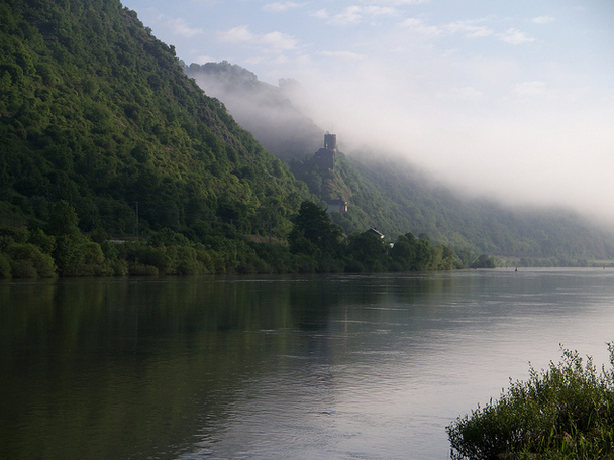
102 km – Punderich ferry. Marienburg castle left. Punderich right. Marienburg campsite (click here) is a lovely site. Bikers, tattoos, misbehaviour – how camping should be. Punderich means “place with a ferry”.


The river enters a 5 km loop that returns to a few hundred metres from where it started. A few hundred thousand years and it’ll breaks through, leaving Zell in a dry valley. I guess Platten and Bengel were river villages once, albeit long before they were villages.
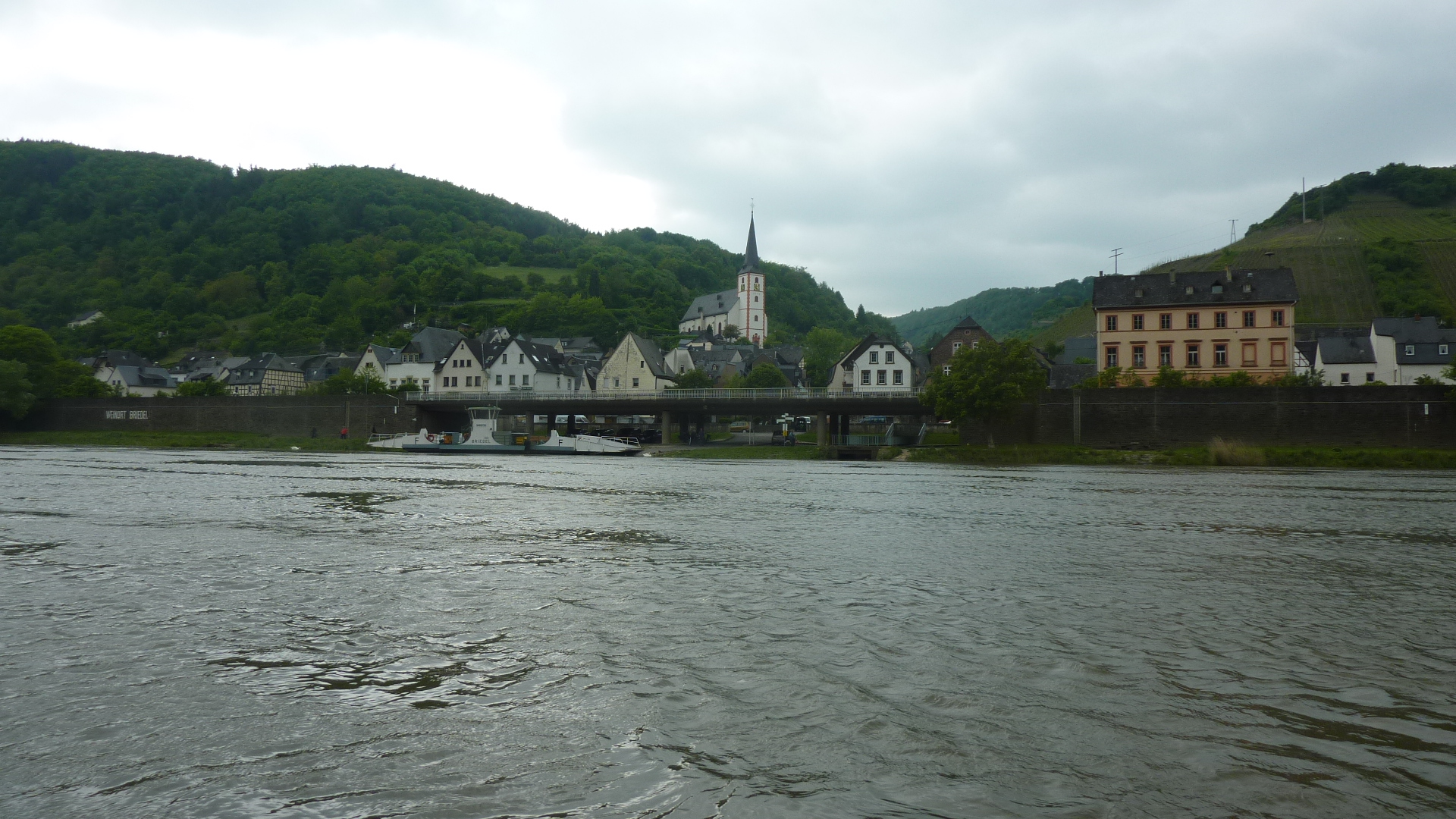
105 km – Briedel right
107km – L194 bridge

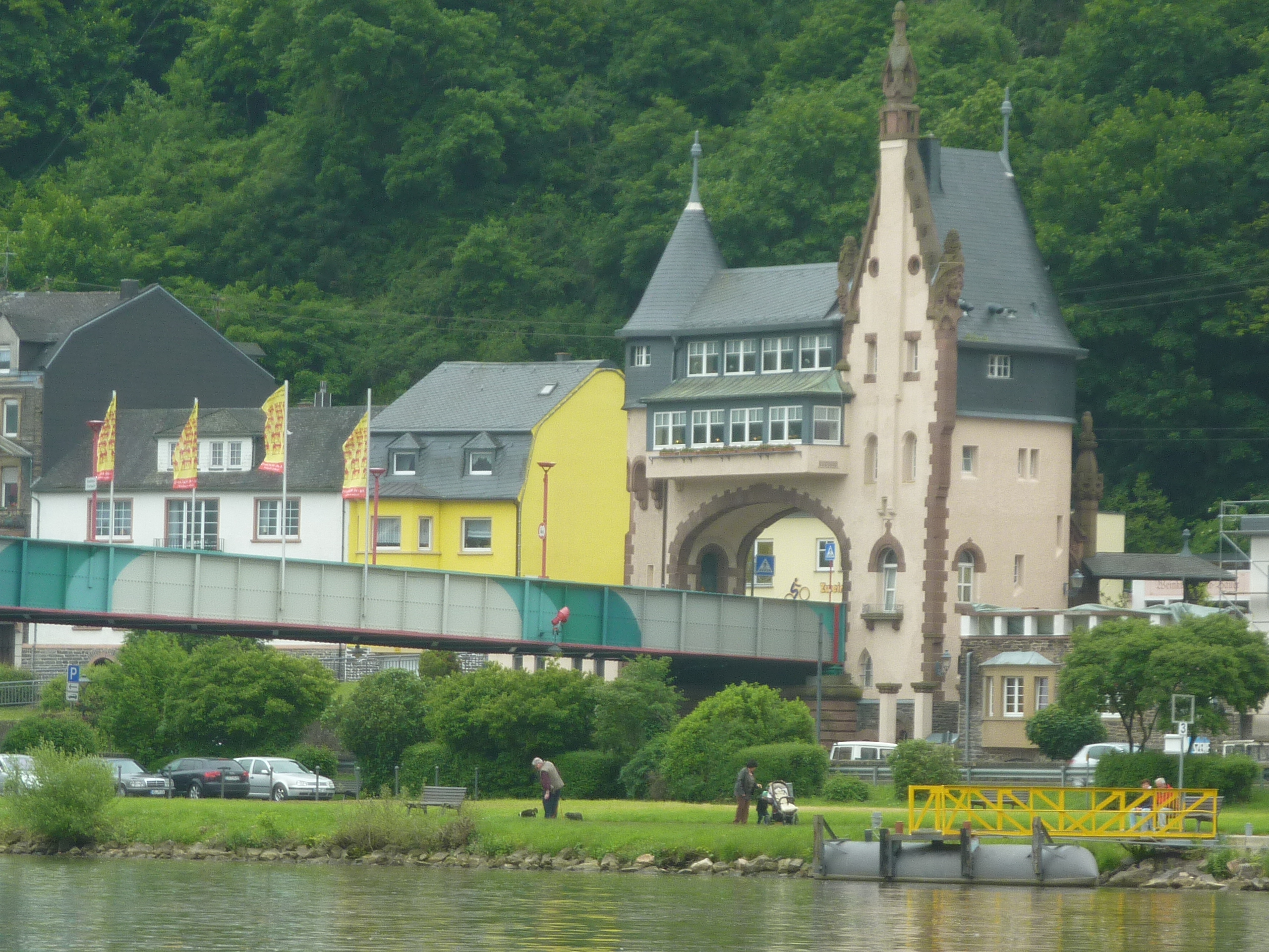
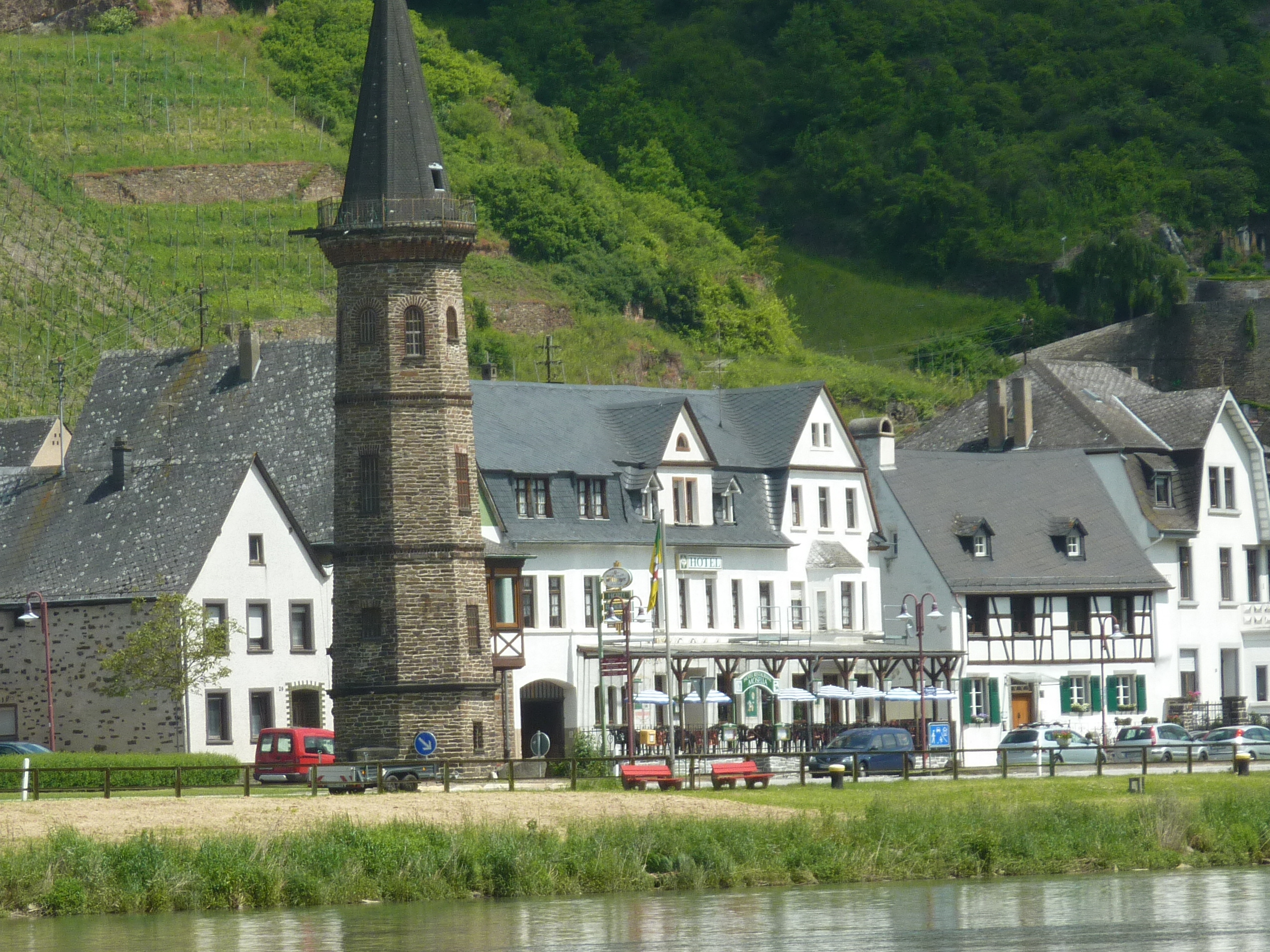
108 Km – Zell footbridge. Black Cat vineyard right.


Old ferry toll house left


109 km – Island. Take left channel for camping left bank
Here’s the narrow neck of the Zell loop from the other side.

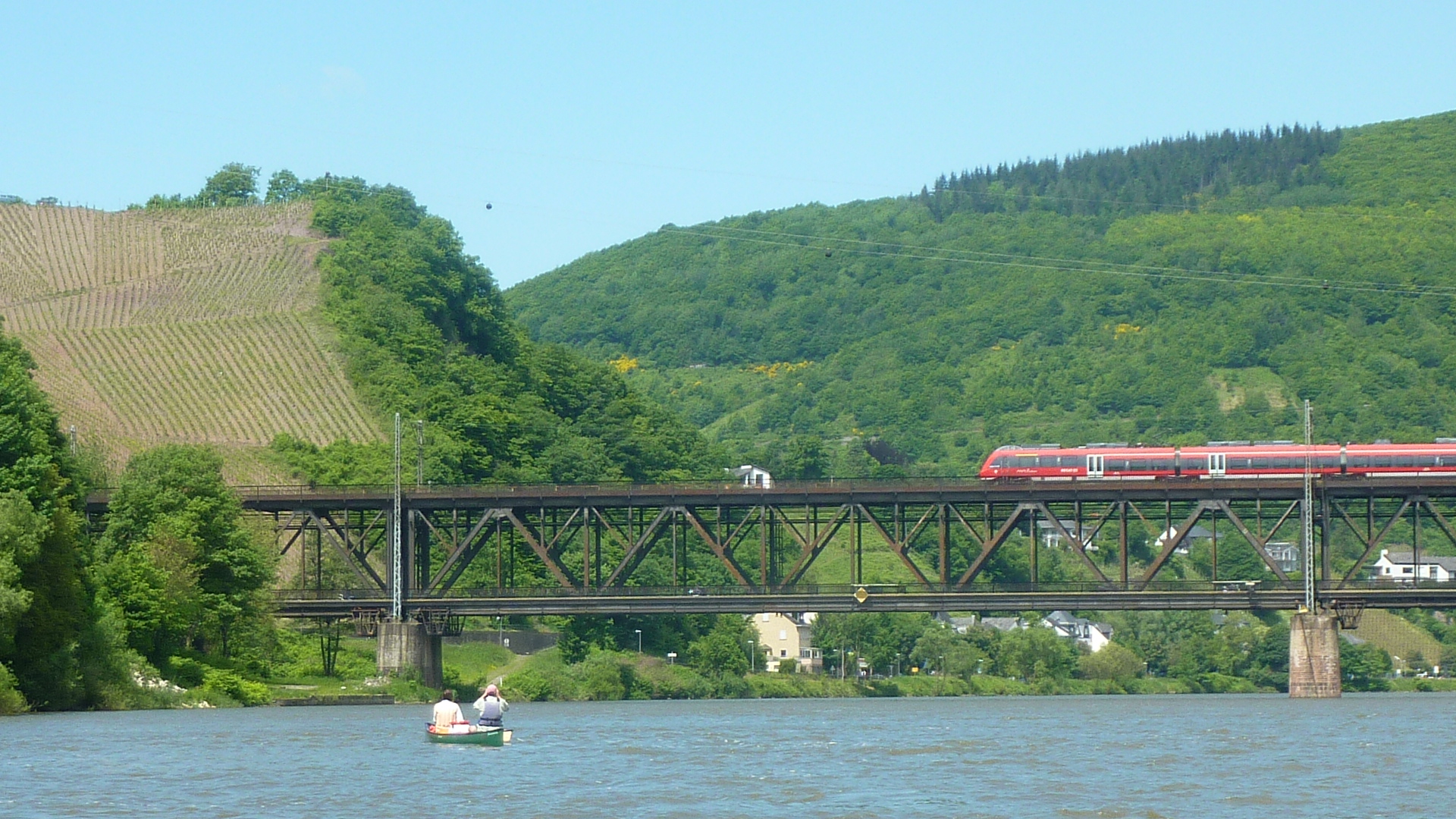
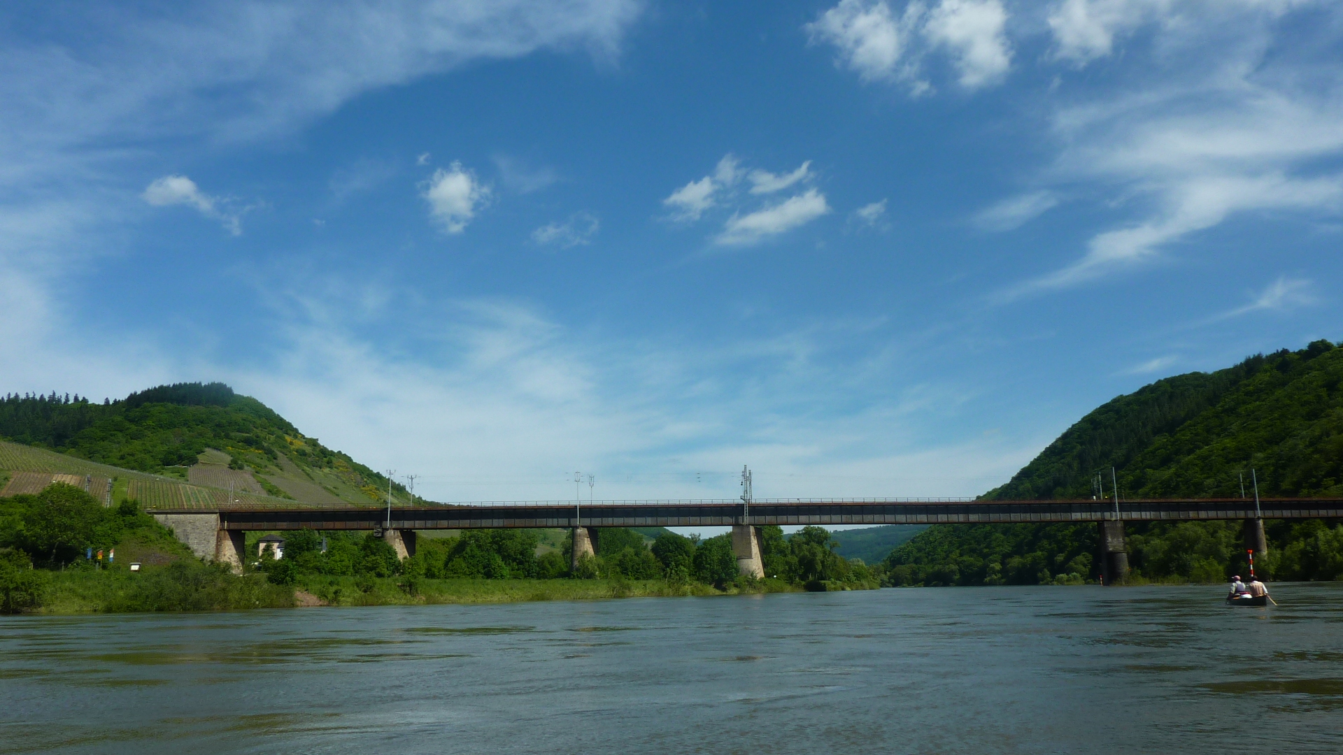
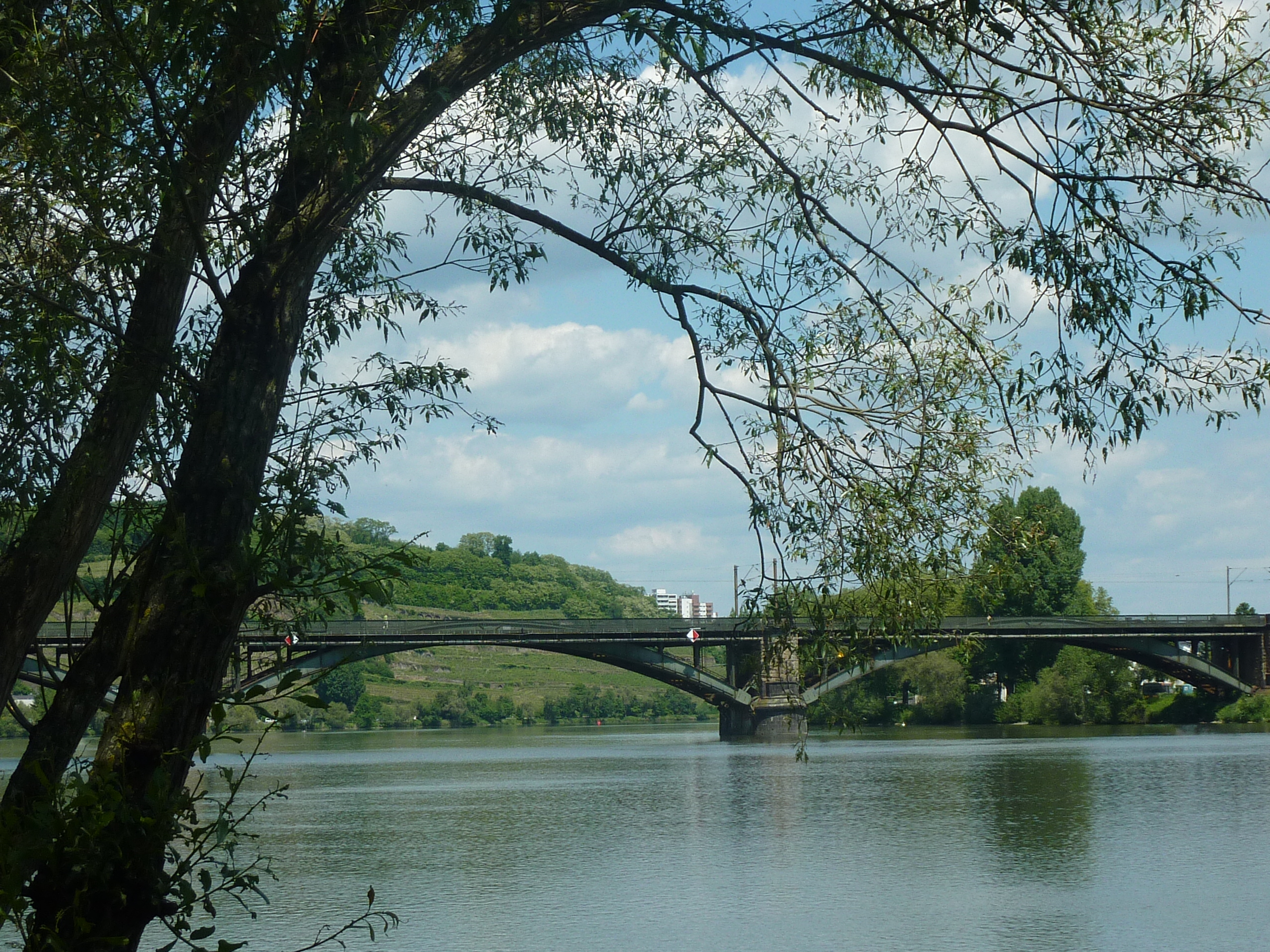
114.5 Km – Bullay road and rail bridge
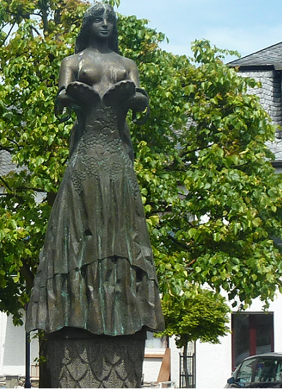
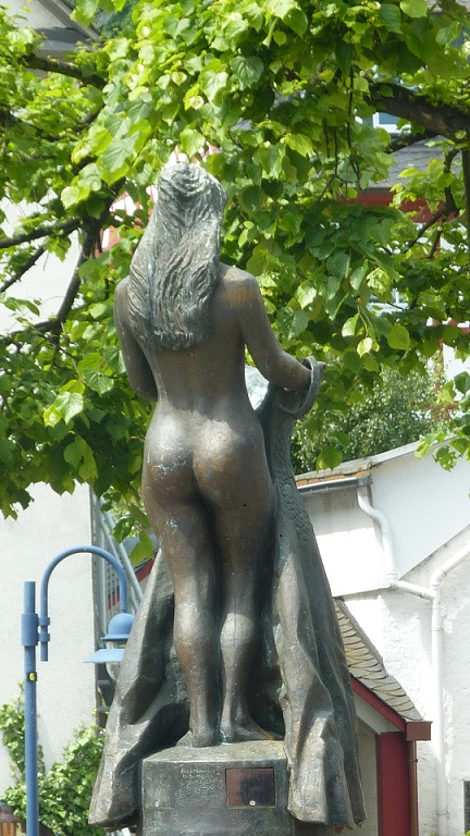
115 km – Bullay right. Alf Left. Rather a fine statue rotates above Bullay fountain. Don’t miss her rear view.

Another old ferry toll house (I think) left

119 km – Neef. Large lock left, small lock, weir, power station right. Built in 1966, with a 7M drop and 16.4MW capacity
119.5 Km – K41 road bridge

120 km – Bremm left.

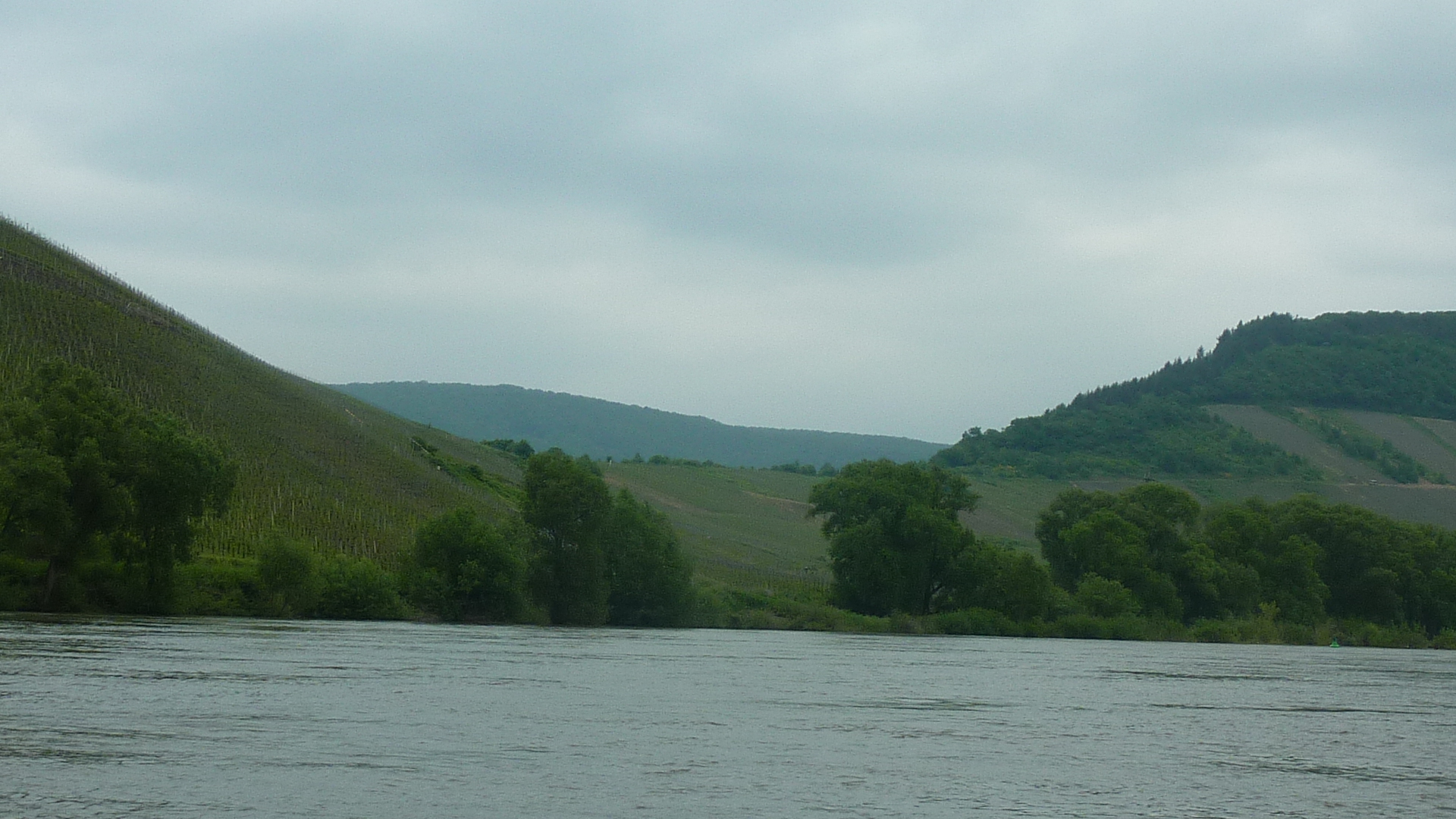
The Calmont Vineyard on the left bank is allegedly the steepest on the river.

The ruined church right was built in 1685 on the site of a 12th century Augustinian monastery. A good spot for a picnic but not easy to access from the river.


121 km – Railway bridge
122 km – Ediger left. Ferry tower

123 km – Eller. Another ferry tower

124 km – Camping Zum Feuerberg left
126 km – Nehren. Campsite left
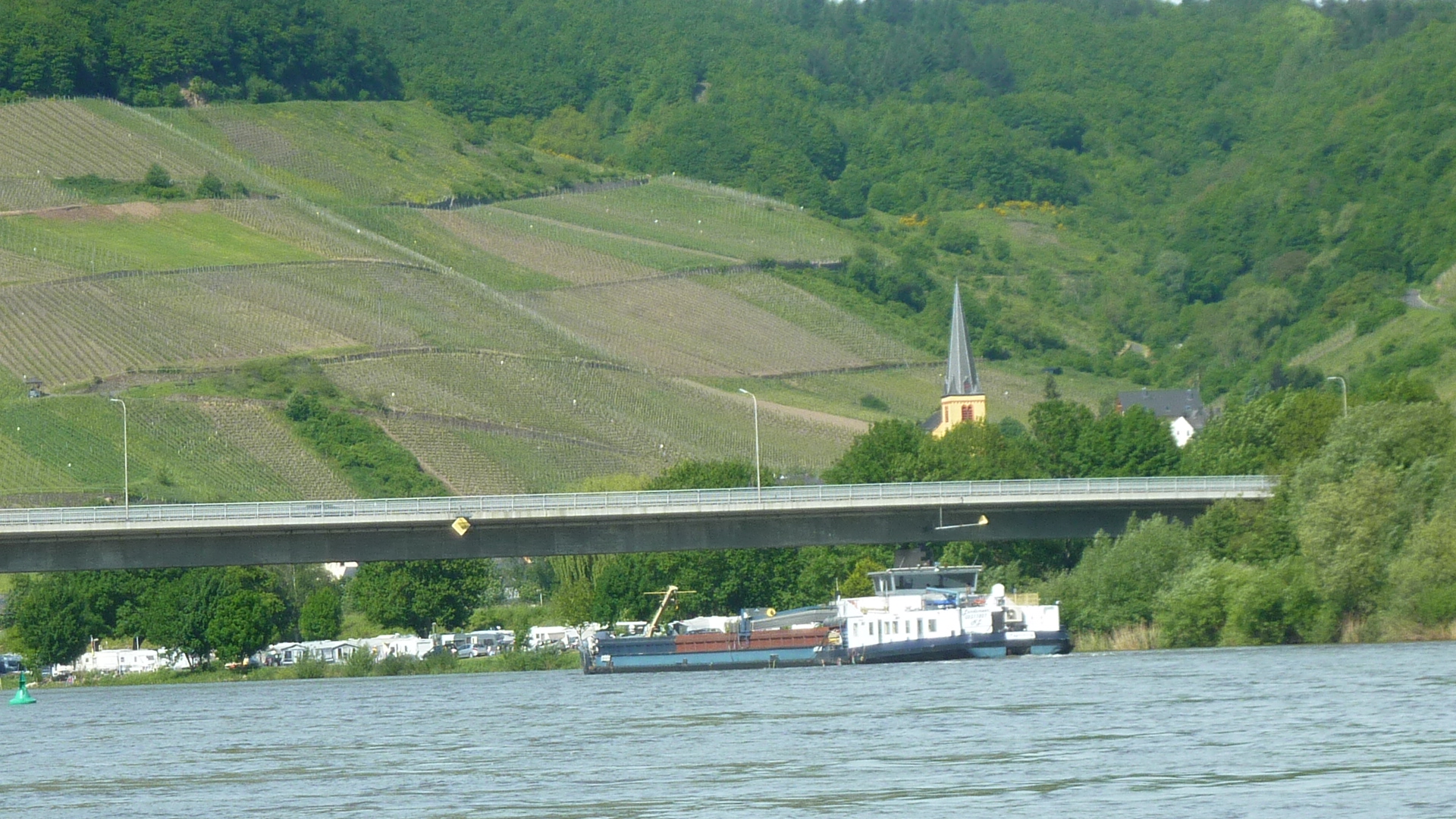
128 km L98 bridge. Senhals left. Senheim right – camping and pleasure boat harbour.
Just by the bridge on the left is a brothel, Tanja’s Club (click here). Prostitution in legal in Germany, but it still give a frisson to come across such a place out in the country like this.
130 km – Mesenich right. Camping, but no obvious landing site.
132 km – Briedern right
134 km – Poltersdorf left. Ferry tower. I think wild camping is permitted on the grass around the tower.

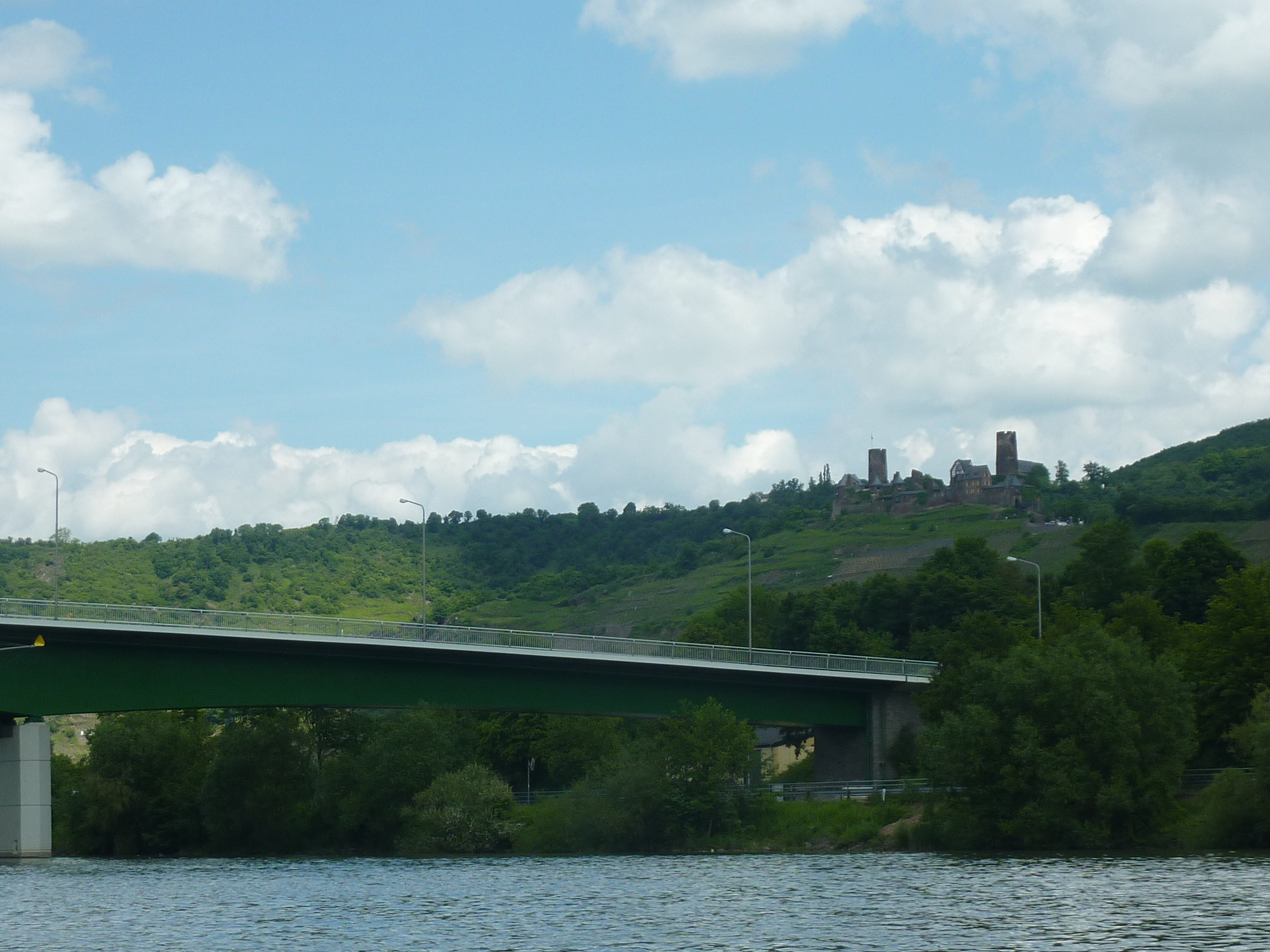
135 km – Ferry. Camping left opposite Beilstein and castle Metternich. This campsite appears to have no public landing, but it’s a lovely site. Recommend. If you can’t land, stop at the ferry slip and walk back.


137 km – Fankel. Hydroelectric power station left, dam, small lock, large lock right. Built in 1963, with a 7M drop and 16.4MW capacity

138 km – Camping Buttig-Fankel right
139 km – K35 bridge

140 km – Ernst left.

141 km – Valwig right
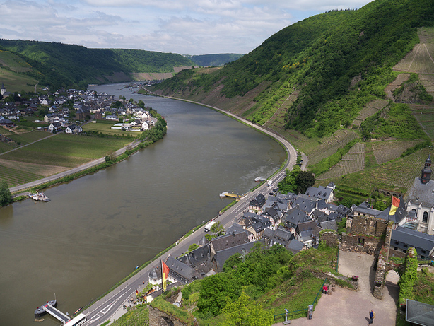
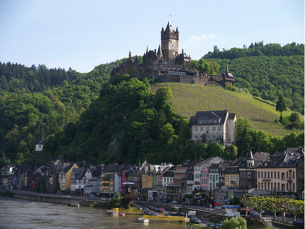
Cochem castle, the finest on the river, albeit a 19th cetury replica, comes into view as you round the final bend into the town. Canoeists have the most dramatic view.

143 km – Ferry toll tower left, Ferry hotel right


144 km – Cochem bridge

144.5 km – North bridge (K60)
145 km – Camping Moselbad right. (Click here). Excellent site, good landing stage.
148 km – Klotten left. Ferry.

153 km – Camping Pommern left. (Click here)
154.5 km – island. Camping on island. (Click here)
155 km – Treis Karden right
155.5 km – B49 bridge
156 km – Karden left
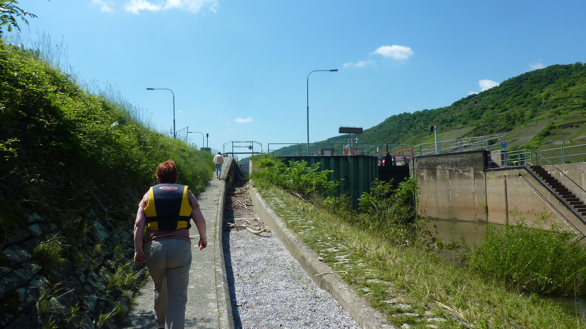
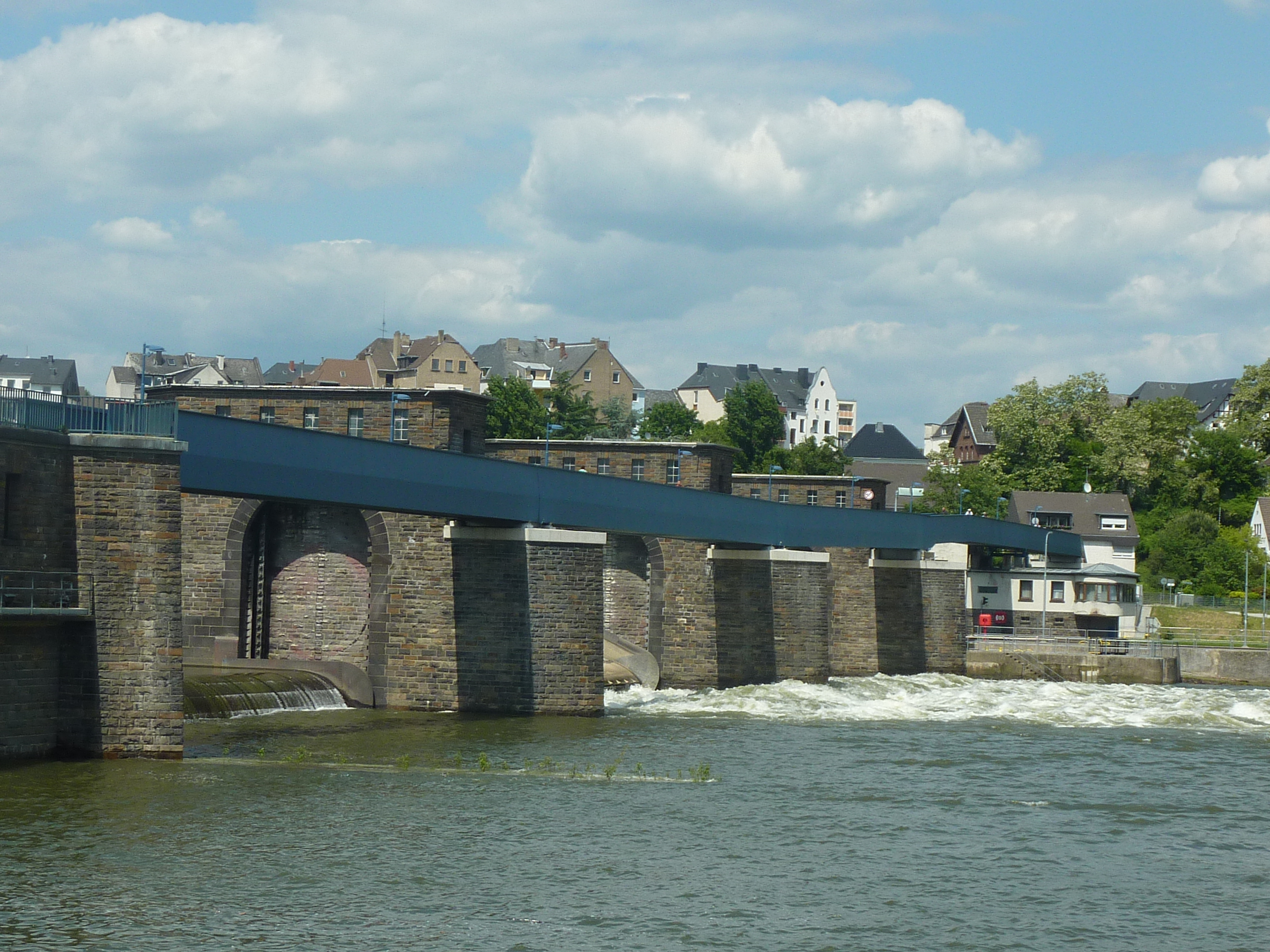
158 km – Muden. Hydro-electic station left, dam, small lock and portage, big lock right. Built in 1965, with a 6.5M drop and 16.4MW capacity

The portage is along the old canoe shoot. Sad that these have all been closed. Health and Safety presumably.
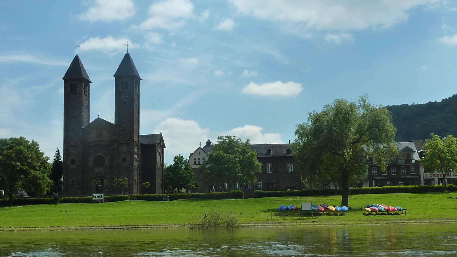
160 km – Moselkern left. Camping Burg Elz, left before the village. (click here) The Elzbach enters left. A couple of miles upstream, Burg Elz the most touristy fairytale castle in the region is not visible from the river.

162 km – The first Burgen campsite (click here) Good landing stage, good facilities and unheated pool. Recommended.
163 km Burgen right, castle left.

164 km – the 2nd Burgen campsite. (click here)
165 km Hatzenport camping left on the island. (click here)
166 km – Hatzenport left. Tall ferry tower. Wild camping allowed between road and river, about 100 metres upstream from the ferry tower. Snuck in behind the trees.

168 km – Brodenbach right
168.5 km – bridge K41
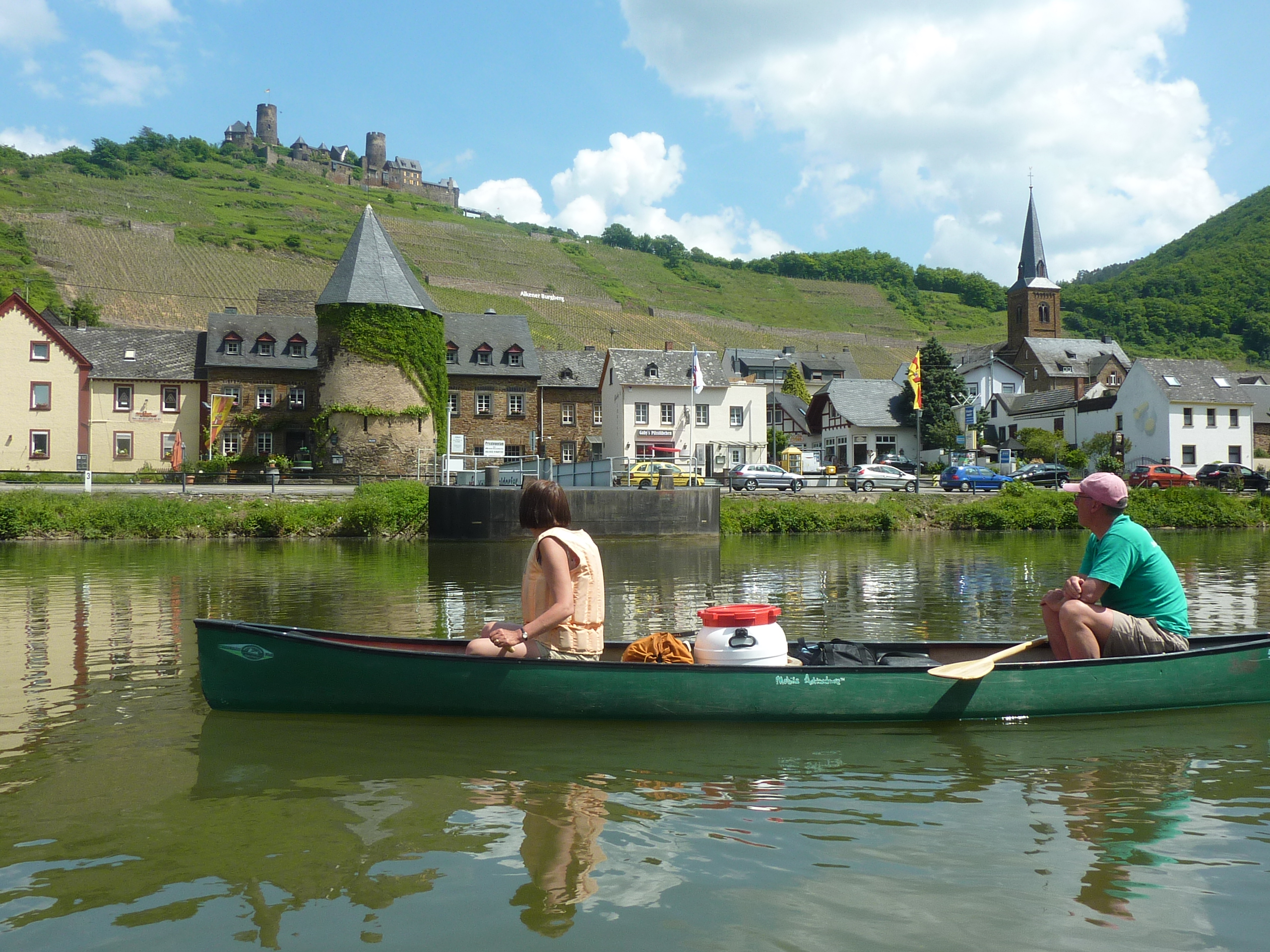
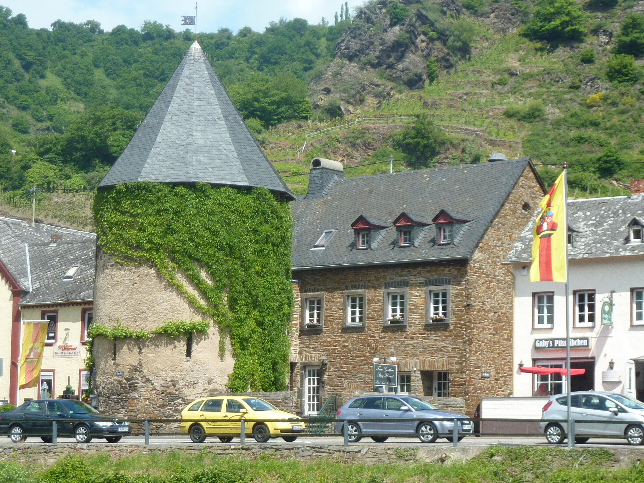
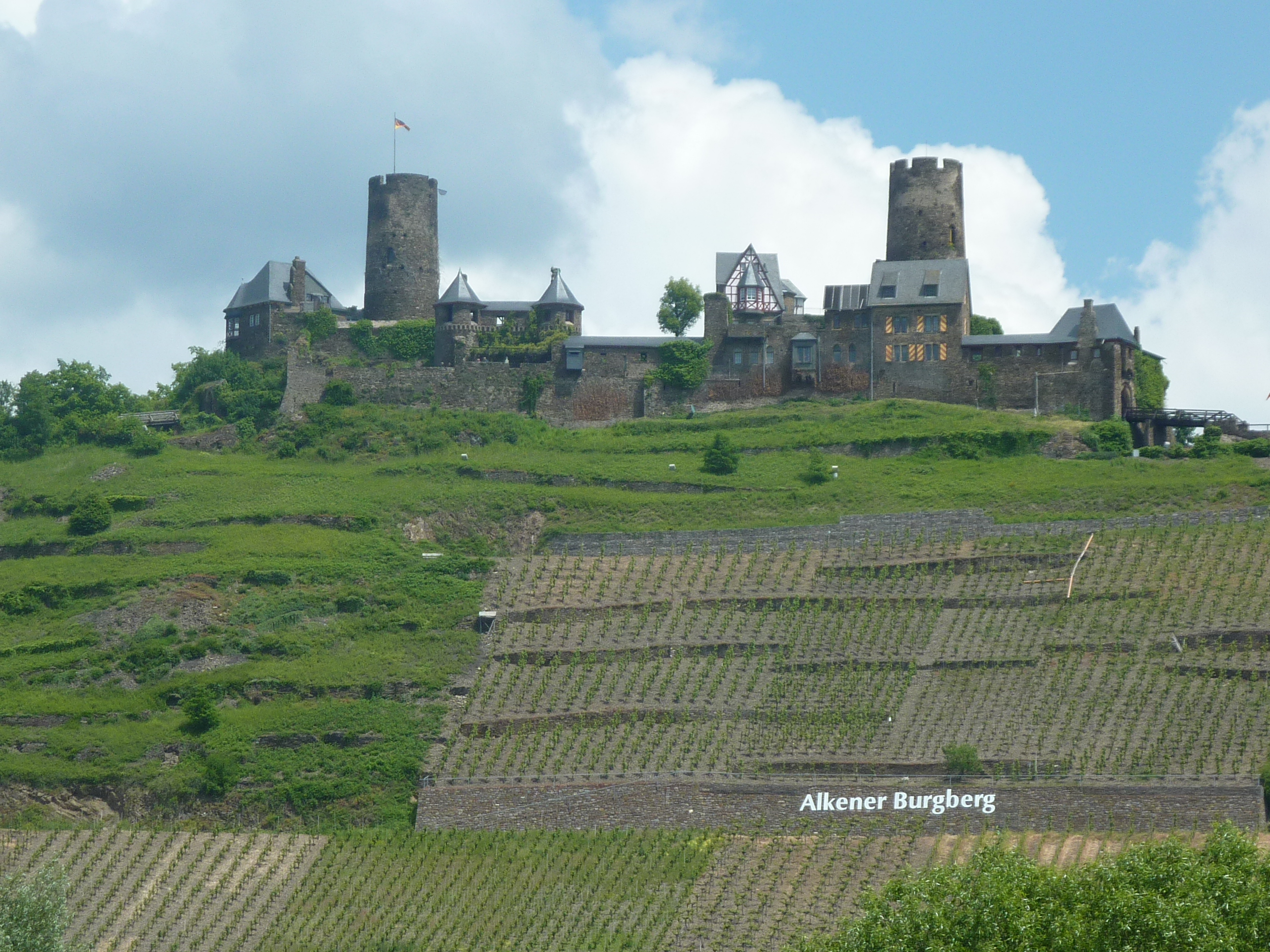
169 km – Alken right. Ferry tower. Castle Alken behind the town
172 km – Kattenes left
174 km – Oberfell right
Island. Pass left. This is a nature reserve.
175 km – Lehmen big lock left, small lock and portage, dam, hydro-electric station right. Built in 1962, with a 7.5M drop and a 20MW capacity
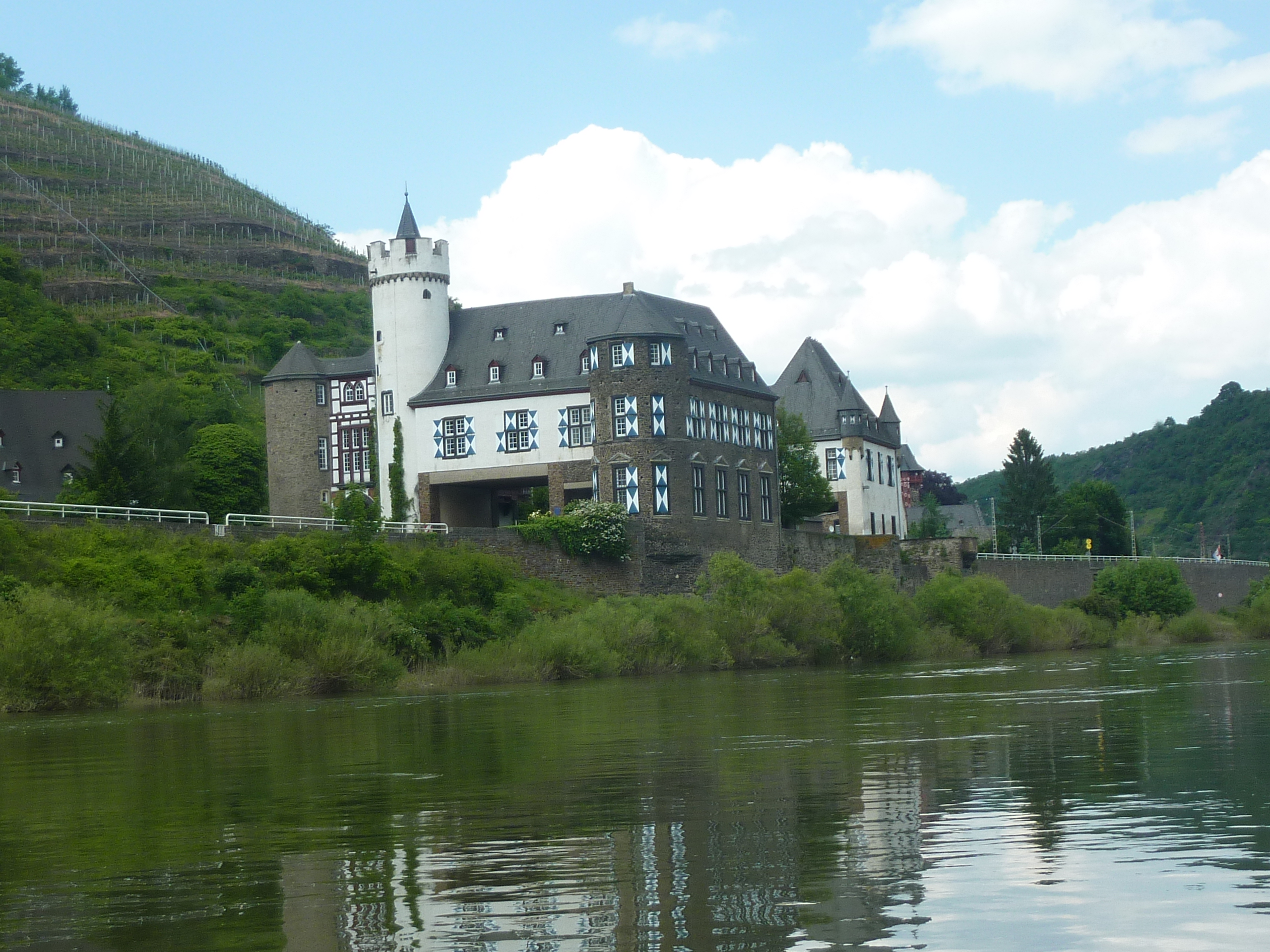
176 km – Schloss Gondorf left. The road goes through it.
177 km – bridge K77. Kobern-Gondorf left.
180 km – Dieblich right. Some maps mark a campsite here. But it was closed in 2013.
182 km – Winningen Ulen vineyard left. This incredibly steep southwest facing wall is the finest since Ürziger Würzgarten. The best by far on the lower Mosel.

182.5 km – E31 bridge
183 km – The camping island of Winningen left. (click here). Not the cheapest site on the river but one of the best in amongst the trees. Paddle past the restaurant and back up into the harbour for the slipway.
184 km – Winningen left.
Winningen makes the best wine on the lower Mosel. When you’ve retrieved your car drive into the town and fill up. Some sellers in the town centre are rather pricey. Better wander into the back streets and buy direct from one of the growers. We got great stuff from Weingut Hess-Haut (click here), who gave us a free tasting without booking. Recommended.
186 km – Lay right.
188 km – Railway bridge

190 km – K6 bridge

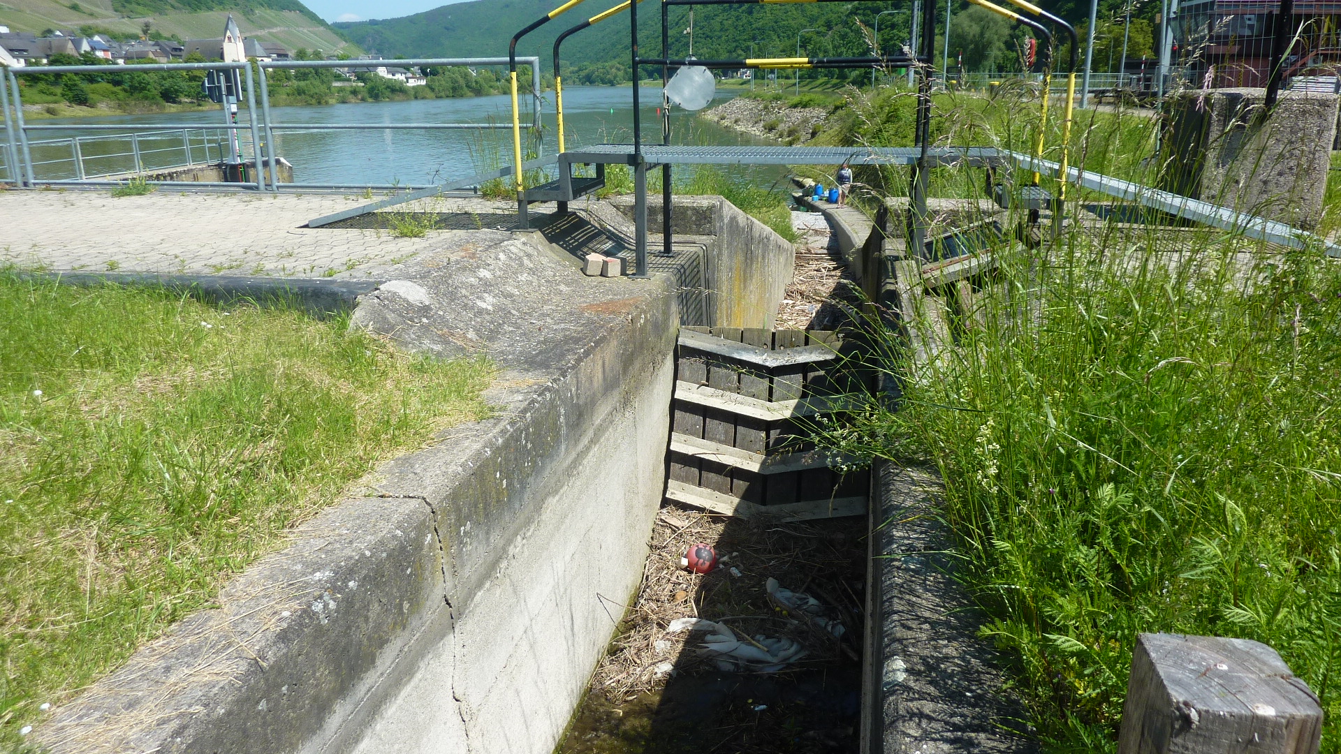
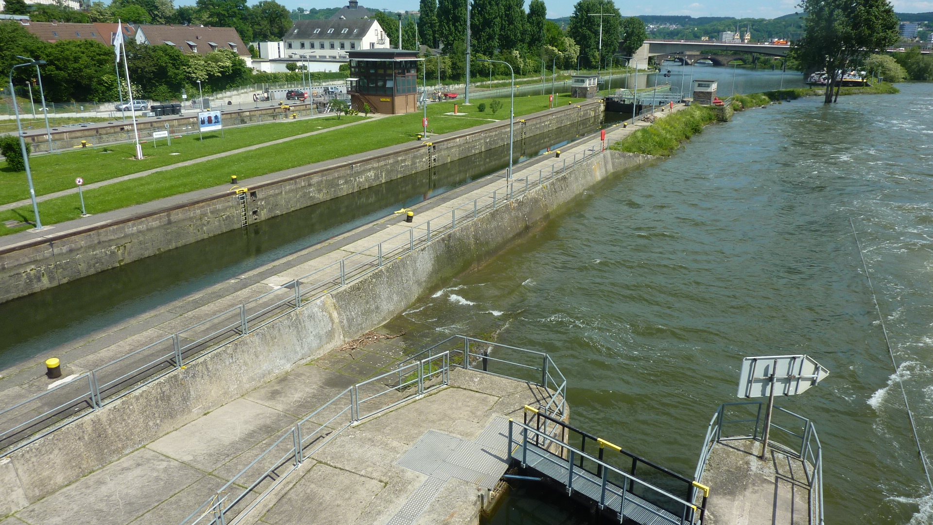
192 km – Koblenz weir. Two big locks left, small lock, weir, fish pass, hydroelectic station and visitor centre right. Built in 1951, with a 5.3M drop and 16MW capacity, this was the first hydroelectric station on the Mosel.


192.25 km – Europa bridge

192.5 km – Railway bridge

192.75 km – Balduin bridge. Originally built in 1343. Repaired and rebuilt innumerable times since.

In the 3rd century the Romans built a wooden bridge about 50 yards downstream of the the Balduin bridge. The larger cruise ships moor up on the right bank between here and the Rhine.
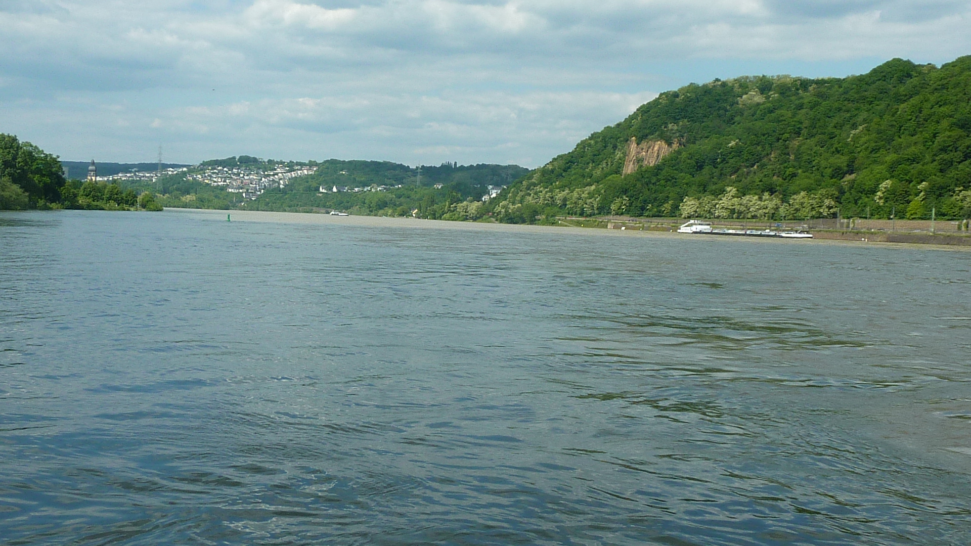
193 km – mouth of the Mosel. Camping left bank at the junction. (Click here)


Jim Thornton. Thanks to Pete for some of the pictures.

Great river experience! This article is for those who want to have the best fun in the waters. An excellent canoe touring.