River Medway
Leigh barrier to Allington lock
Twenty miles gentle paddling spiced up by Environment Agency canoe shoots. The railway follows the valley most of the way so getting back to the top is easy, and there’s excellent wild camping at Oakweir lock, Stoneham lock and Barming bridge. I dunked my camera so the pictures below are either cribbed from the web (forgive me), or credit Alan or Pete.
0 miles – Leigh flood barrier. Built in 1982 to protect Tonbridge, it wasn’t adequate in 2013, and may need to be raised soon.
It is on the new cut, now the main channel. No easy access. Better to launch in Tonbridge and paddle up to the barrier.
0.5 mile – old stream joins right.
1 mile – Lucifer footbridge. Barden Park right.

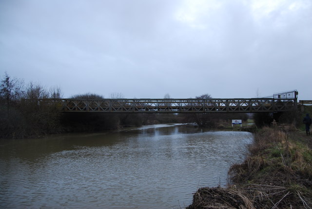
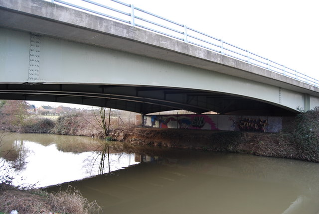
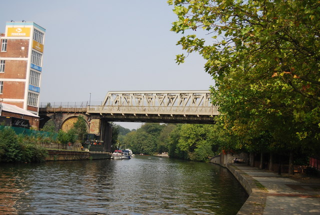
1.2 miles – railway bridge.
River divides round Tonbridge sports-ground.
Left channel footbridge 1 mile.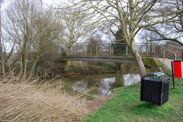
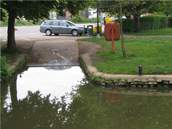
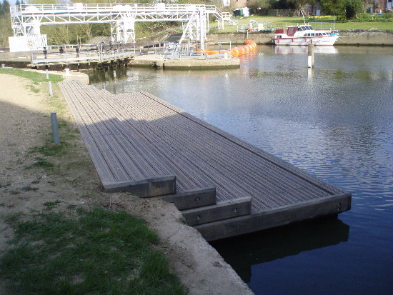
Slipway left 1.5 miles. Excellent launch spot with car parking. Footbridge
|
Alternative right channel. Allotments right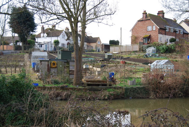
Boatyard right.1.4 miles – footbridge.
Botany stream leaves right over weir.
1.5 miles New Wharfe Road bridge
|

1.6 miles – channels merge
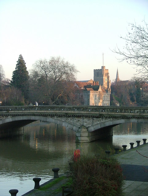
1.8 miles – Town Bridge
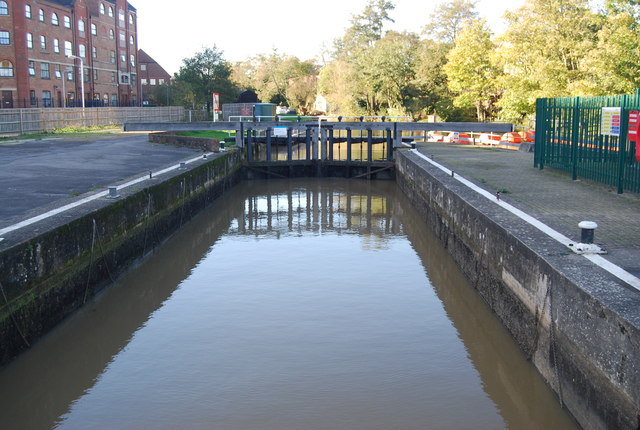
2 miles – Town lock right. Sluice gate. Canoe pass. Weir. Millstream leaves left

2.5 miles – Cannon Lane bridge. Access left below bridge.
2.8 miles – Botany stream rejoins right
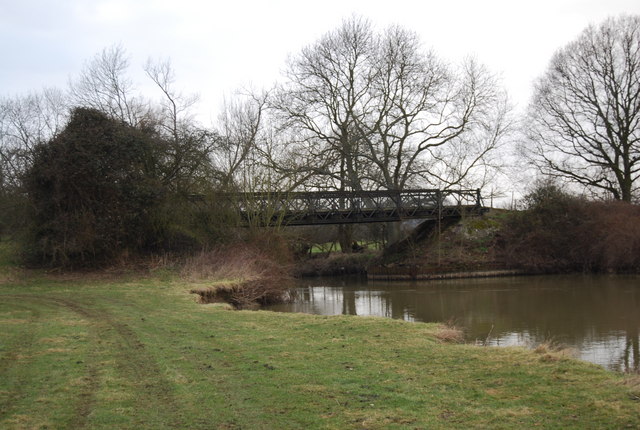
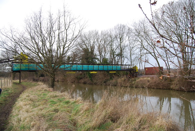
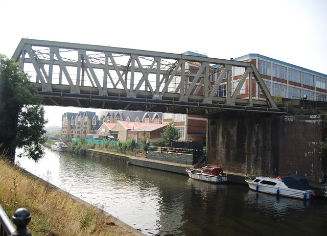
3 miles – Gravel conveyor bridge

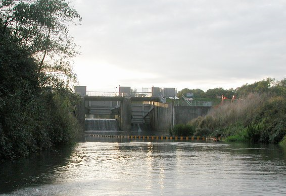
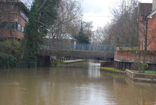
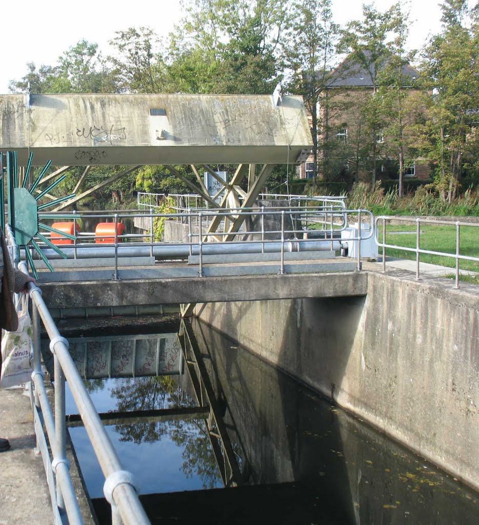
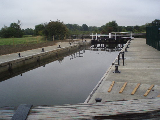
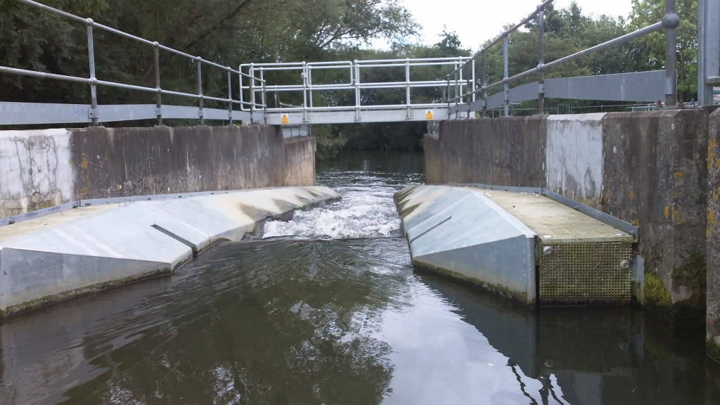
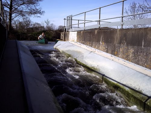
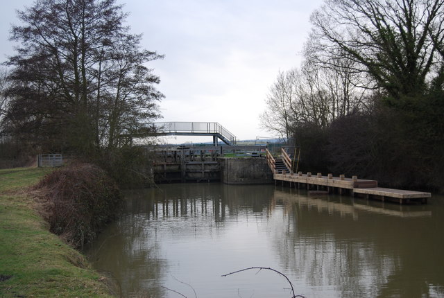
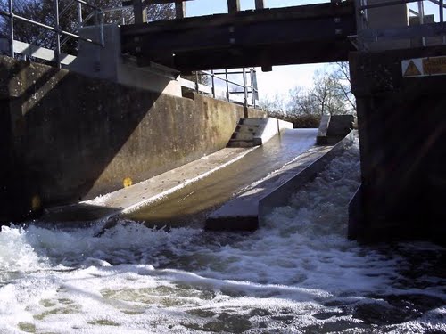
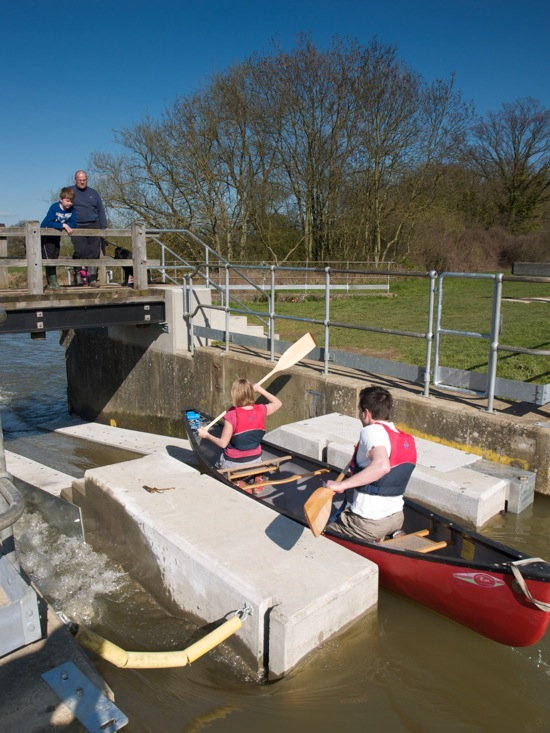
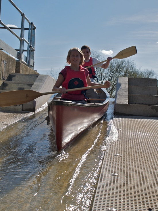
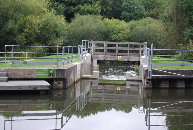
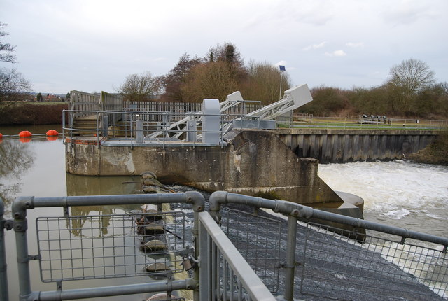
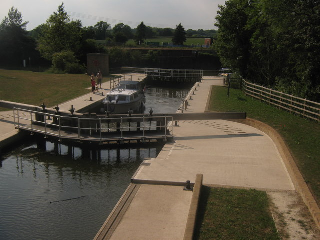
3.5 miles Eldridge’s lock left. Sluice. Canoe shoot right. In two sections.
4.5 miles – Porters lock. Sluice gates right. Canoe shoot. Channel leading to lock left

Landing stages
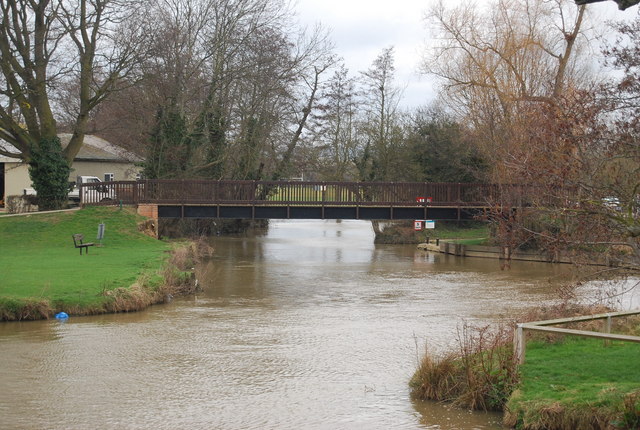
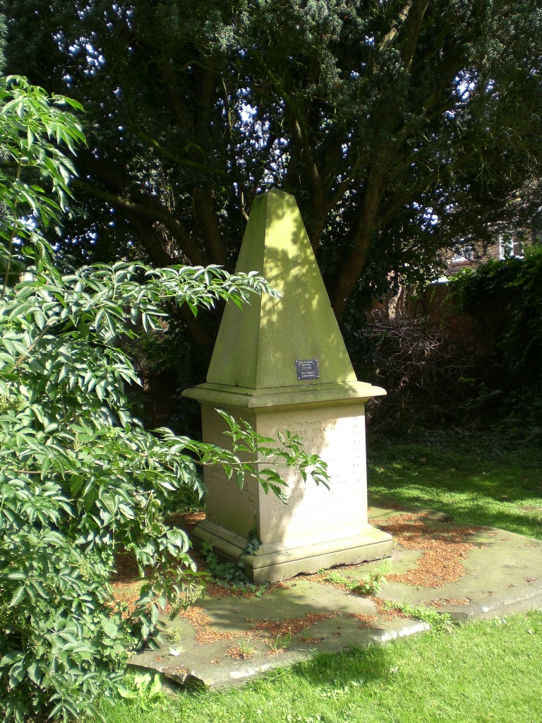
5 miles – Hartlake bridge.


Memorial to 30 hop pickers who drowned here 1853 when an earlier bridge collapsed in flood. Access below bridge.

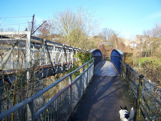
5.25 miles – footbridge
6 miles – East lock right.

Canoe shoot middle.
Sluice gates left.

6.25 miles – Ford Green footbridge
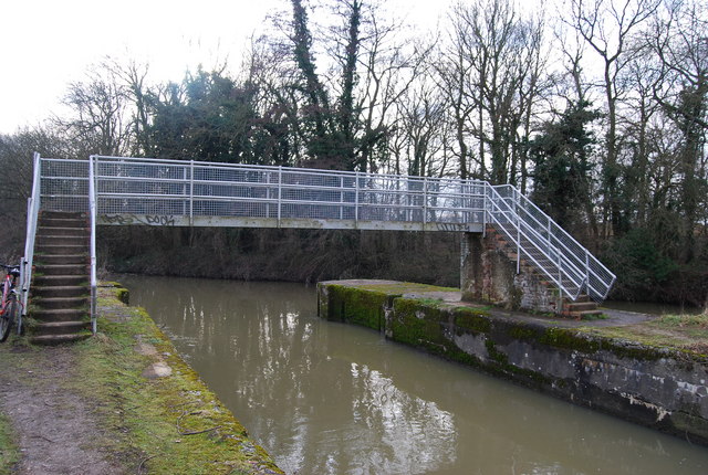
7 miles – Oak weir lock Right
Canoe pass middle
Sluice left
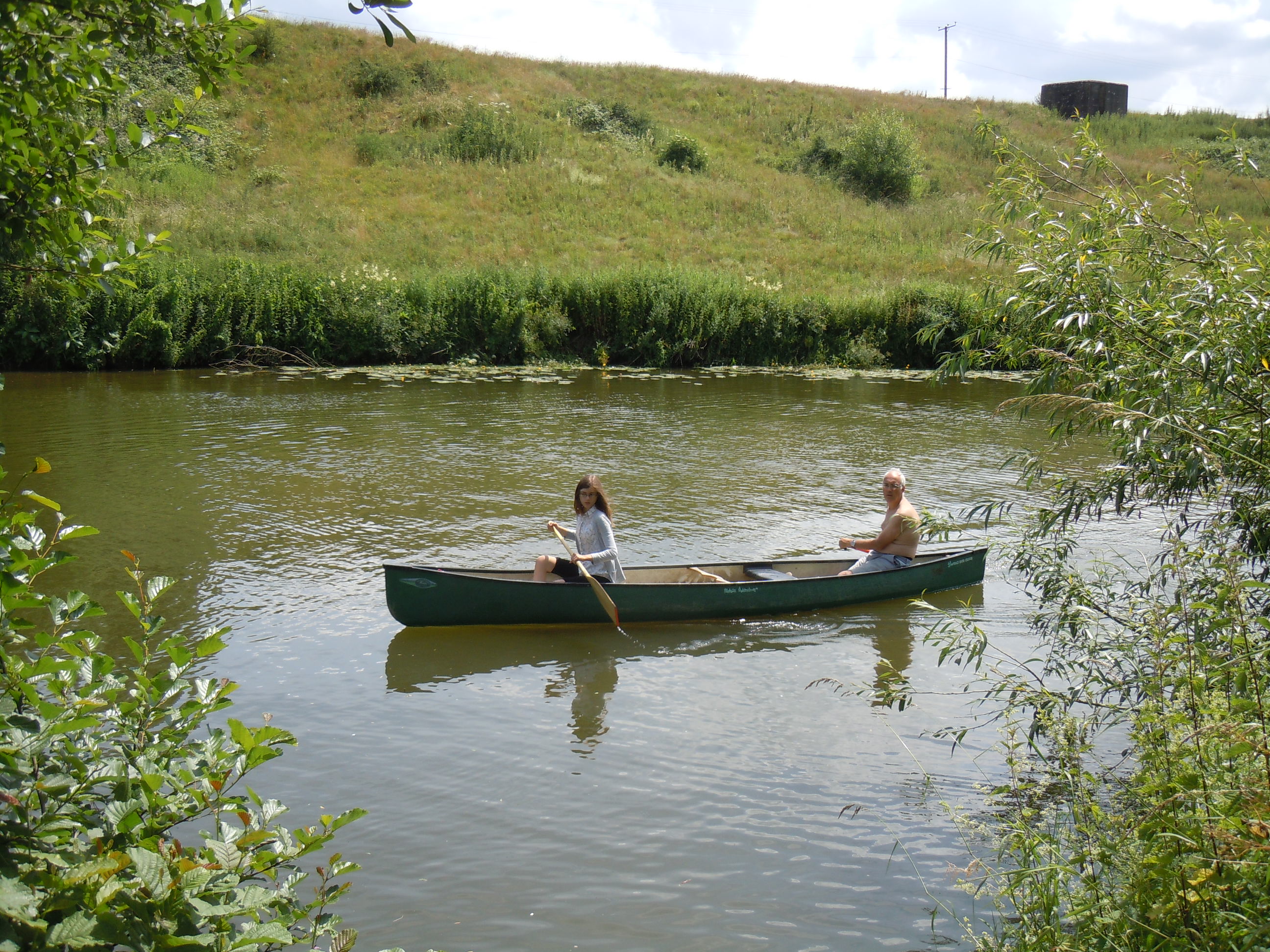
Camping allowed on the island. No facilities.
7.25 miles – Stilstead bridge
7.75 miles – River Bourne joins left. Footbridge.

Hop Farm Family Park right. Many attractions. If that sort of thing floats your boat, pass under the footbridge right to reach the campsite. If not, wild camping at Stoneham lock is only two miles away
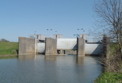
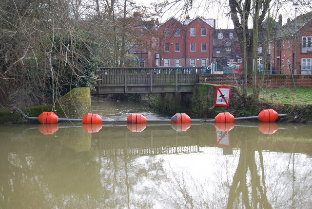
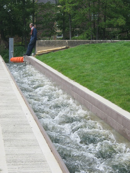
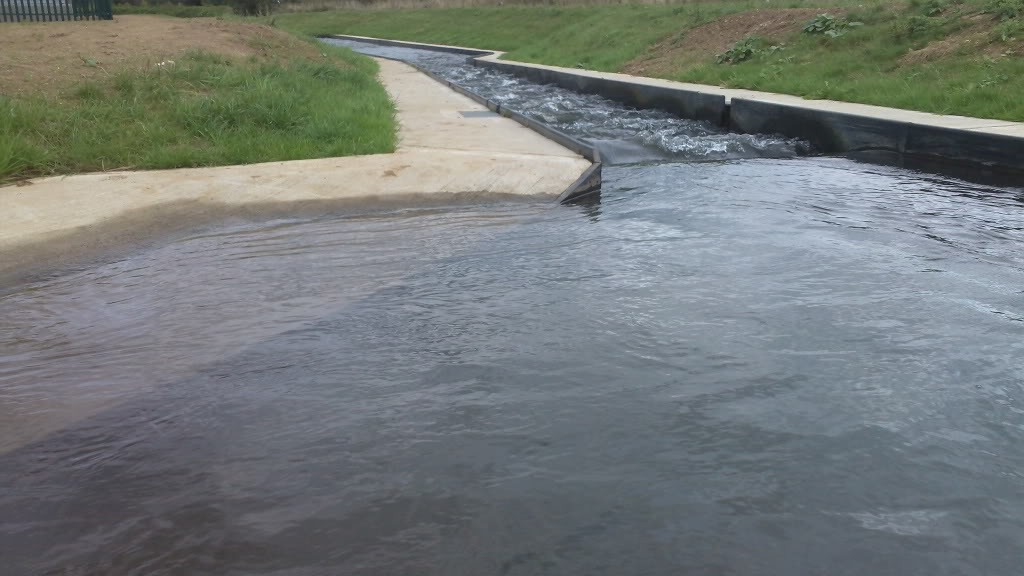
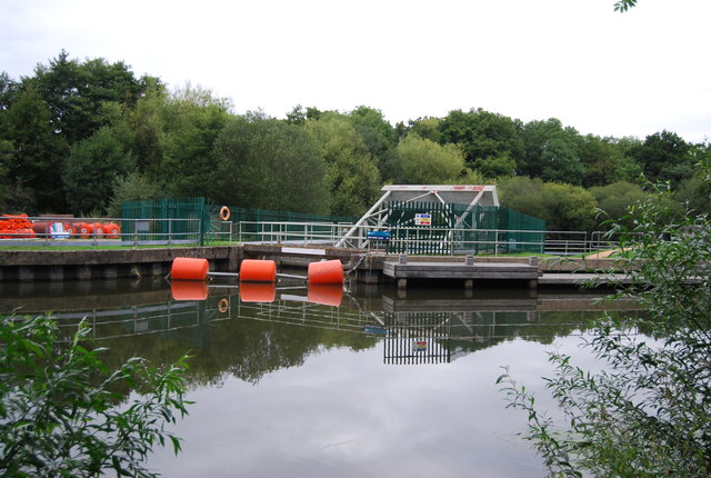
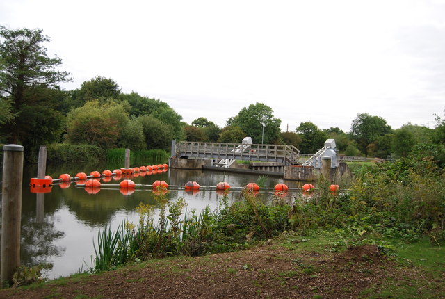
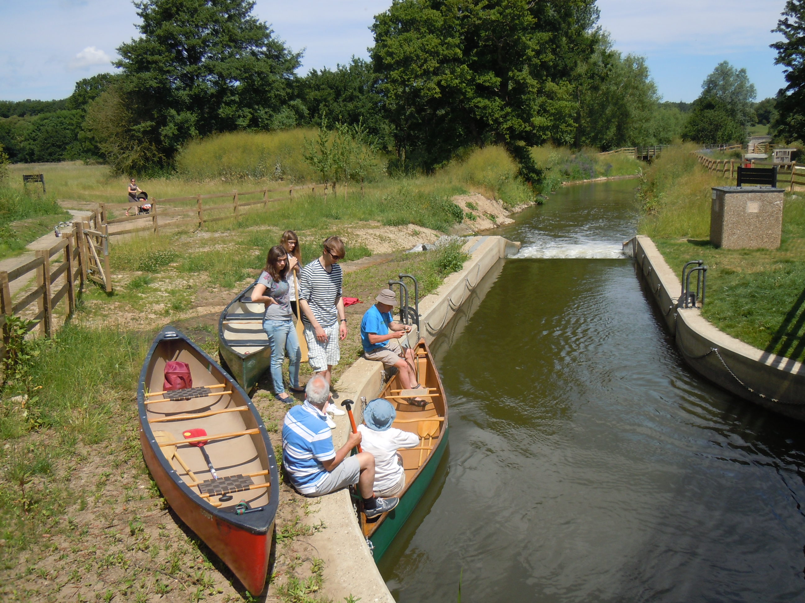
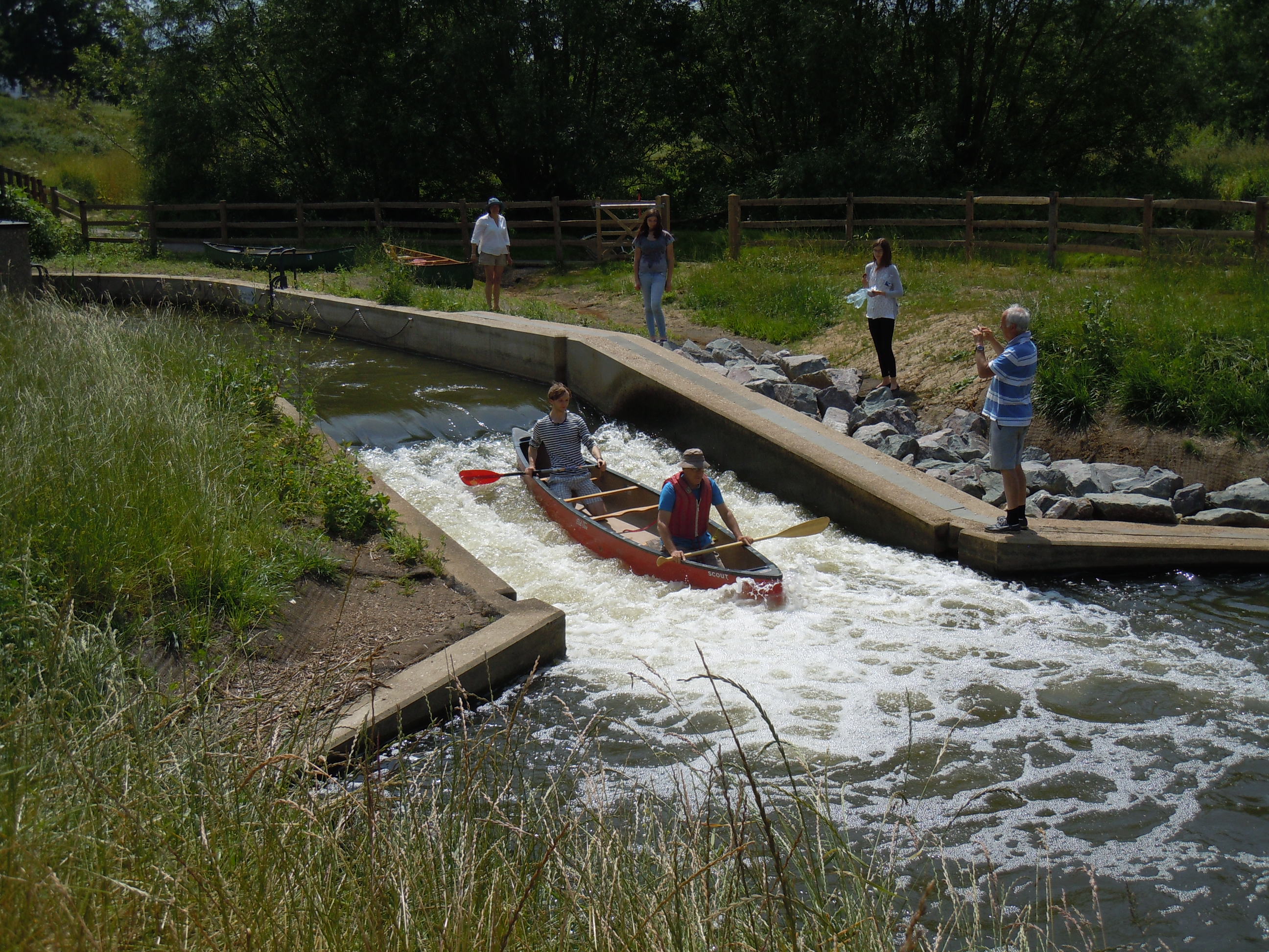
8.5 miles – Sluice weir lock left. Sluice gates and weir middle. Canoe shoot and fish ladder right.

Click here for a video clip of shooting the canoe pass
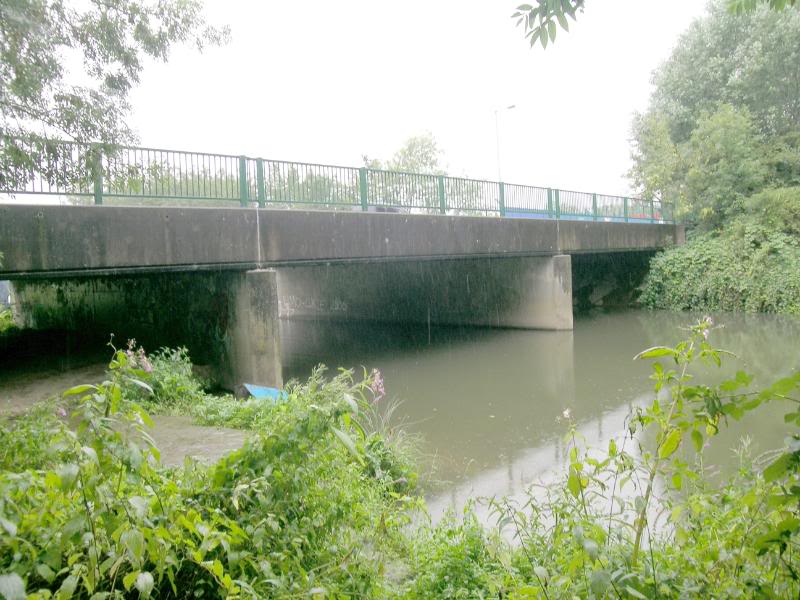
9 miles – Branbridges. Road bridge
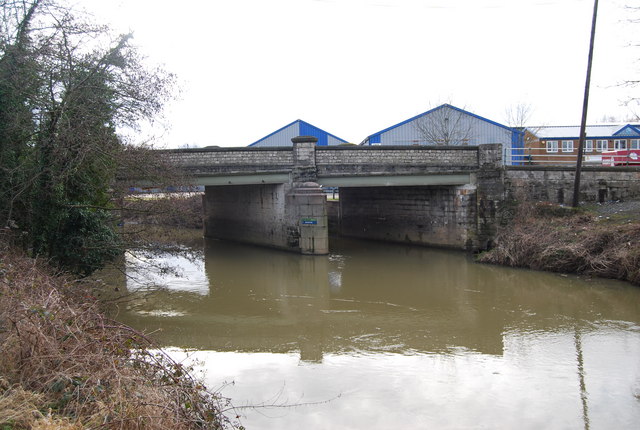
9.25 miles – A228 bridge
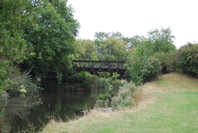
9.3 miles – conveyor belt bridge
9.5 miles – Railway bridge
10 miles – Stoneham old lock (disused). Camping. No facilities.
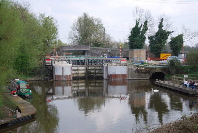
10.75 miles – Yalding. Sluice and weir right. Take lock cut left.


Alternatively land right upstream of the booms, portage over the bank to river Teise, under Twyford bridge and down to Marlin canoe club campsite (booking needed).
Footbridge over lock cut (Hampstead lane canal). Anchor inn left
11.5 miles – Hampstead bridge and Hampstead lock
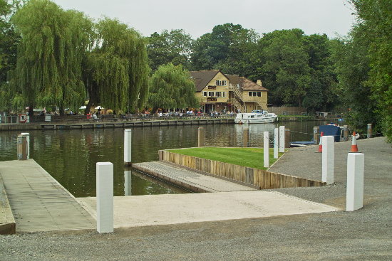
Hampstead marina right below the lock
11.75 miles – rejoin main channel
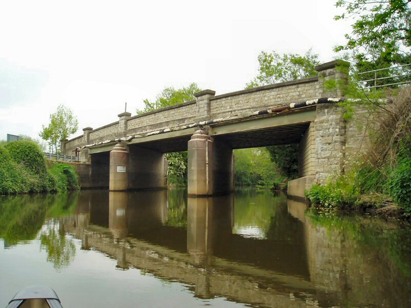
13.5 miles – Bow bridge. Wateringbury
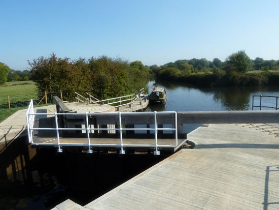
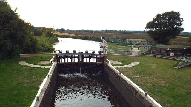
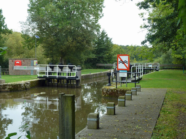
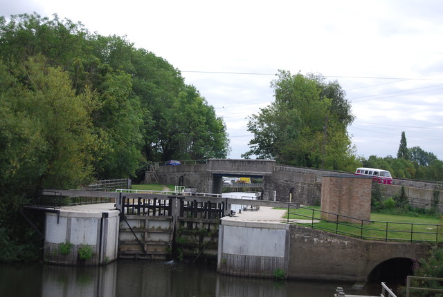
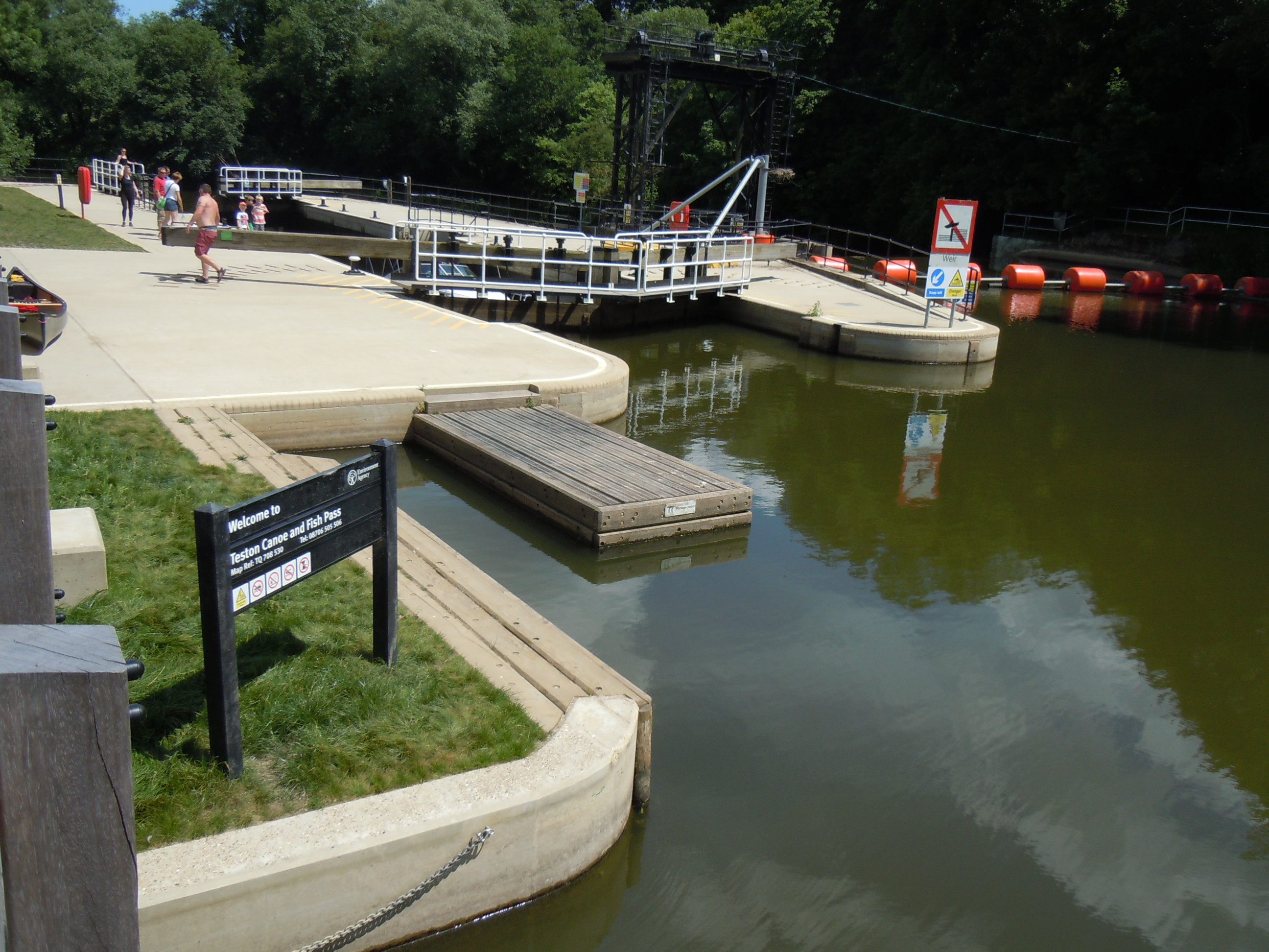
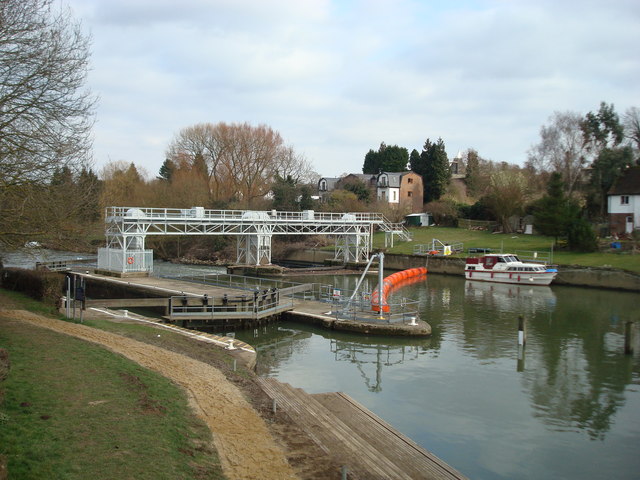
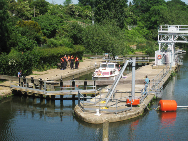
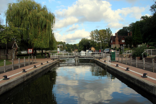
15 miles – Teston lock. Weir right. Canoe shoot left. Beware – in two section.
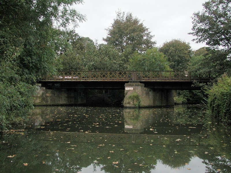
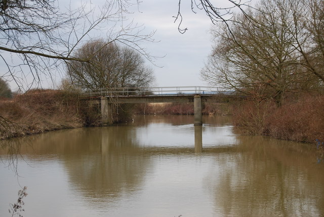
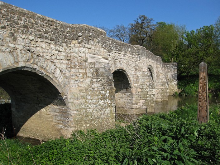
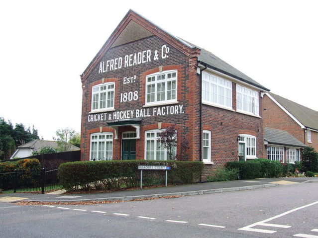
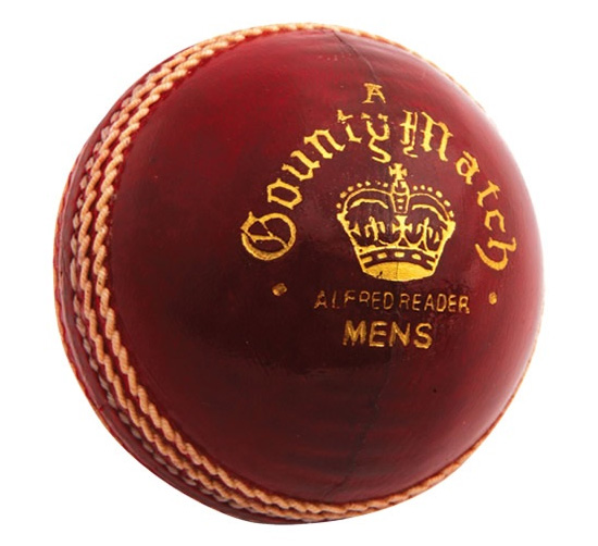
15.1 miles – Teston bridge. Reader’s cricket balls were made in Teston for 200 years
Teston bridge county park left. Access and parking.
16 miles – Barming bridge. Site of old ford. Camping is allowed on the right bank just before the bridge
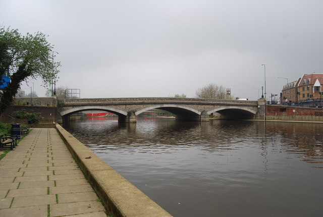
17 miles – East Farleigh bridge
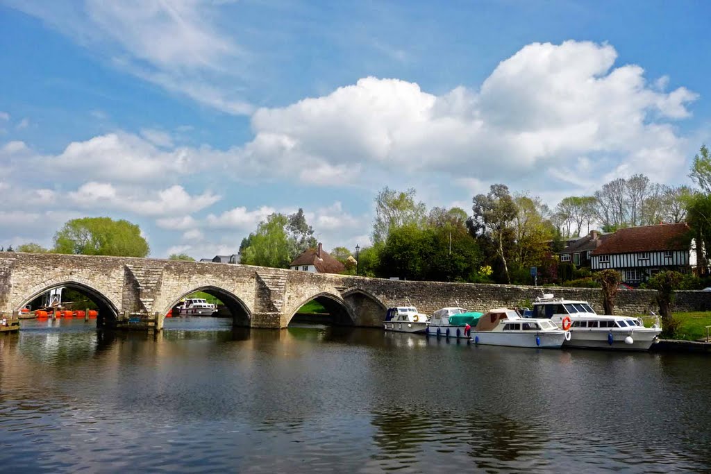
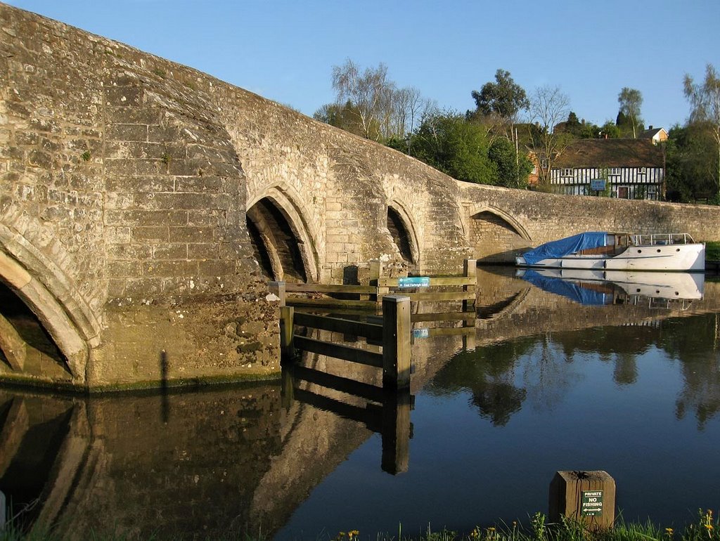
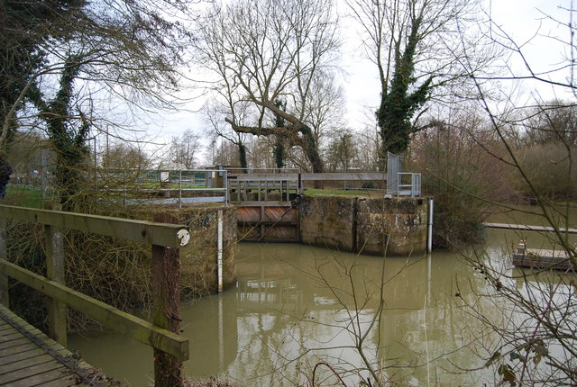
Farleigh lock. No canoe shoot. But easy portage.
18.5 miles – Tovil footbridge. Access right below.
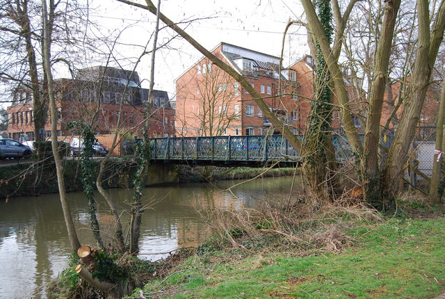
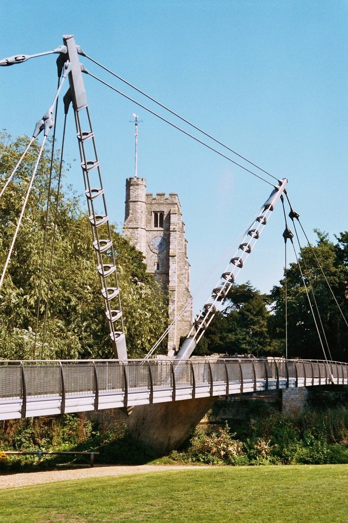
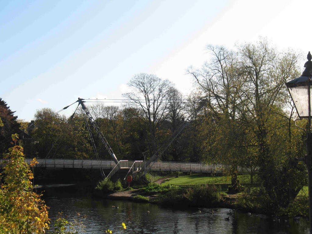
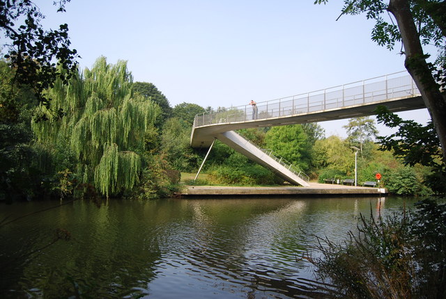
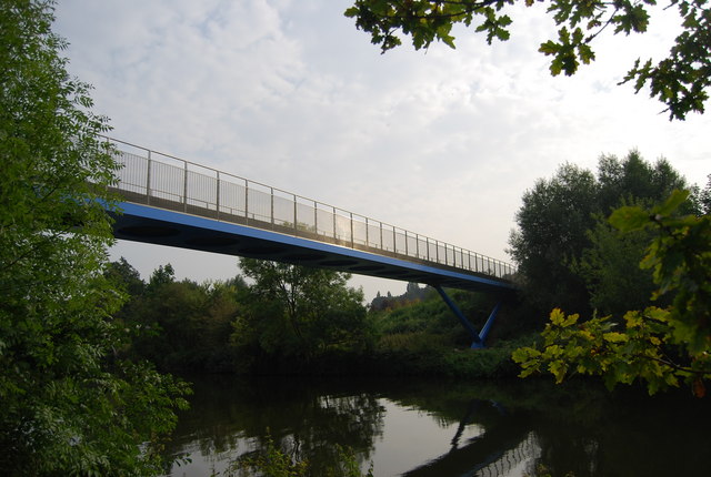
19 miles – Millennium footbridge. The upstream one.
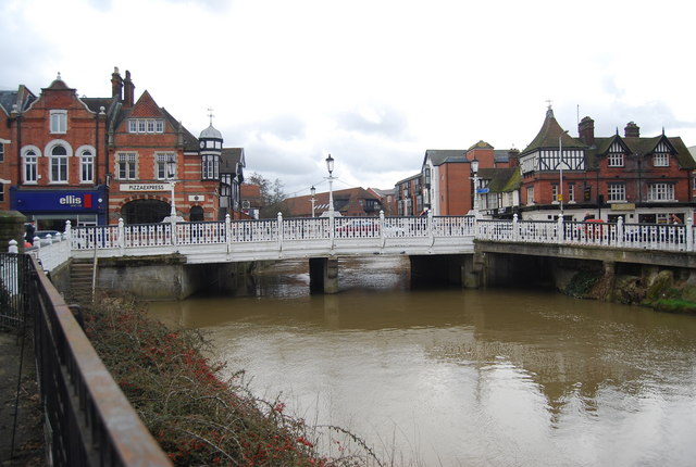
19.5 miles – Maidstone bridge
19.6 miles Maidstone New bridge
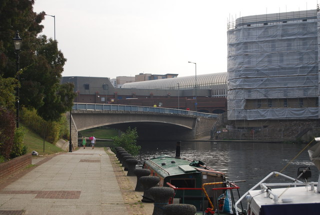
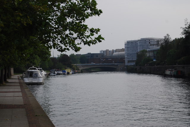
20 miles – Rail bridge
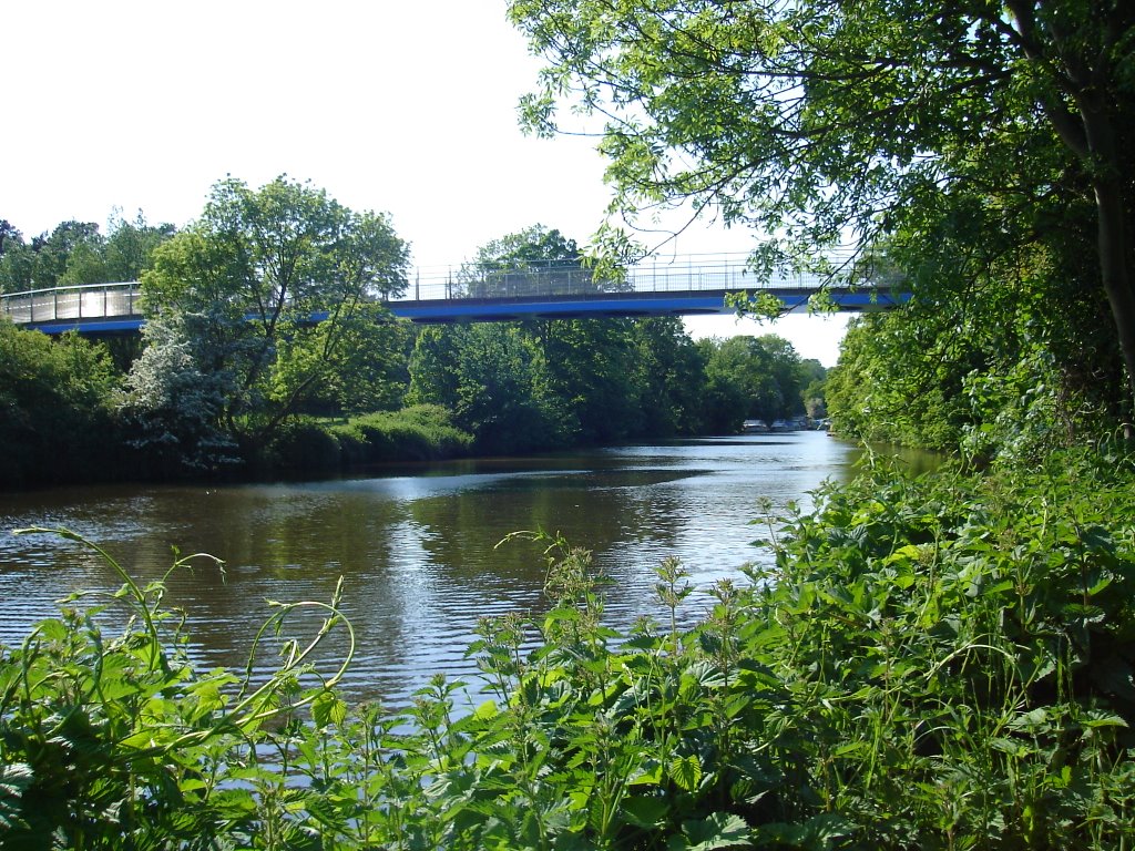
20.5 miles – Maidstone millenium footbridge. The second millenium bridge in Maidstone.
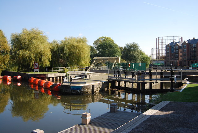
22 miles – Allington lock (tidal limit). Malt Inn right. Slipway left.

Jim Thornton
