The Ronne river (Rönne å) in Sweden
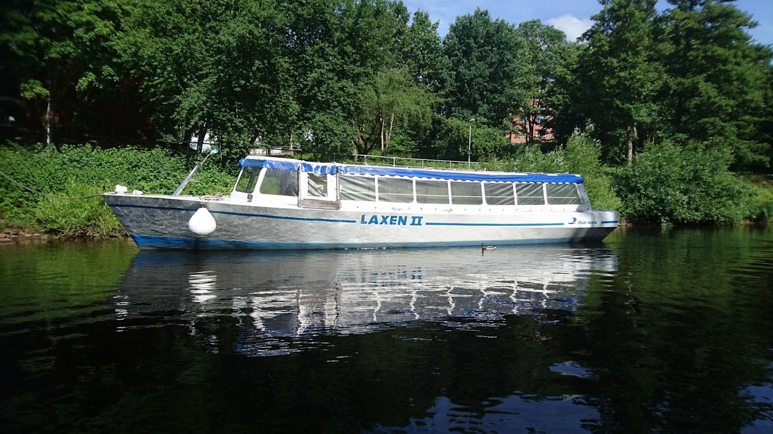

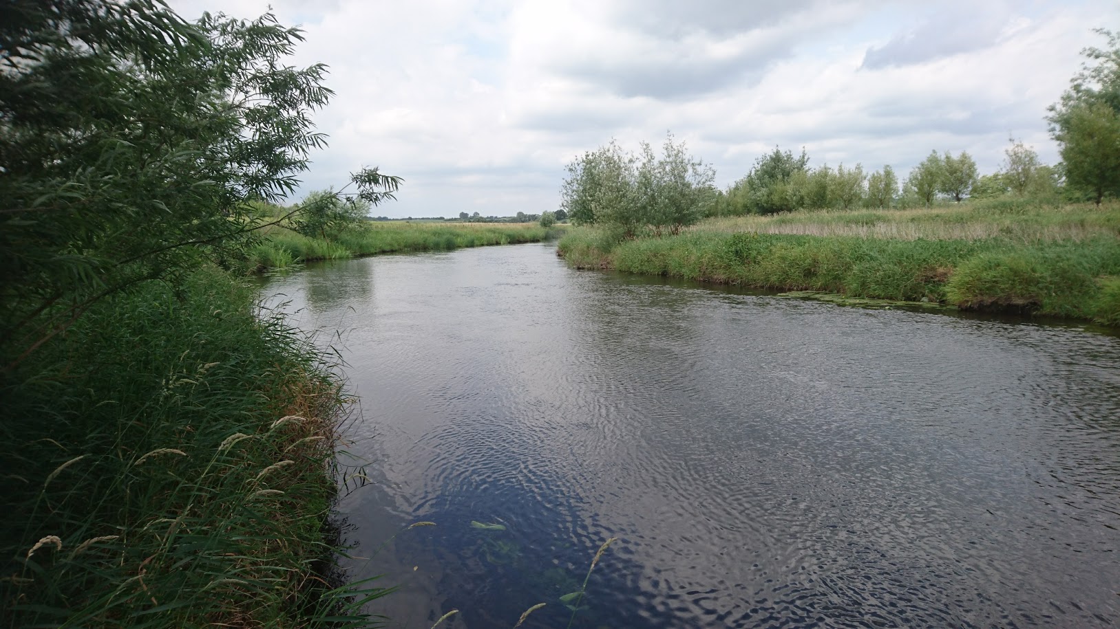
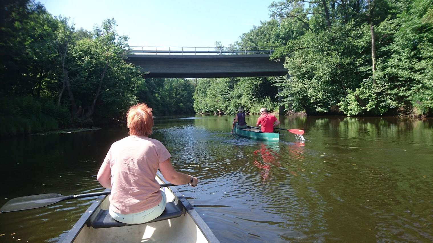
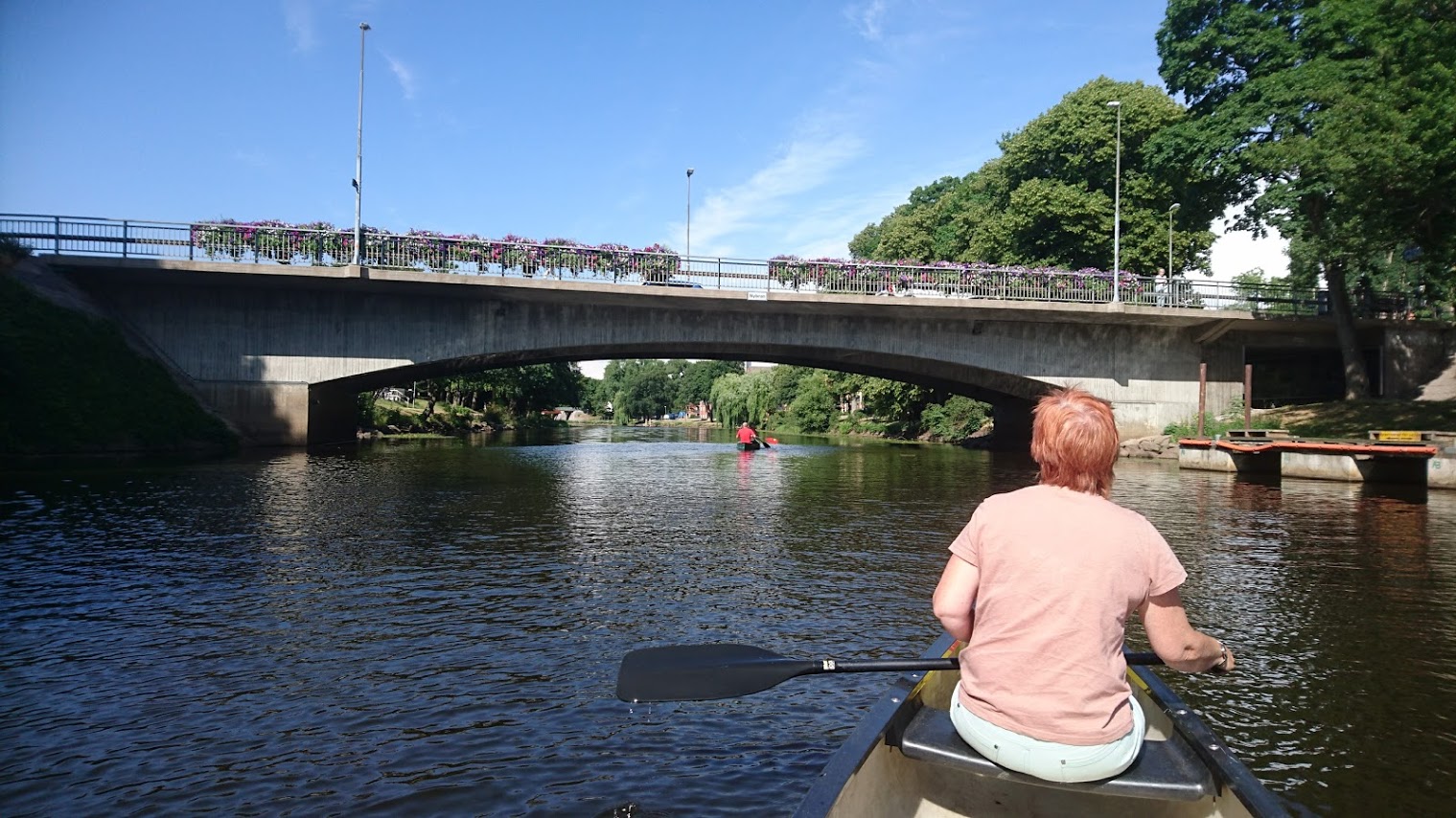
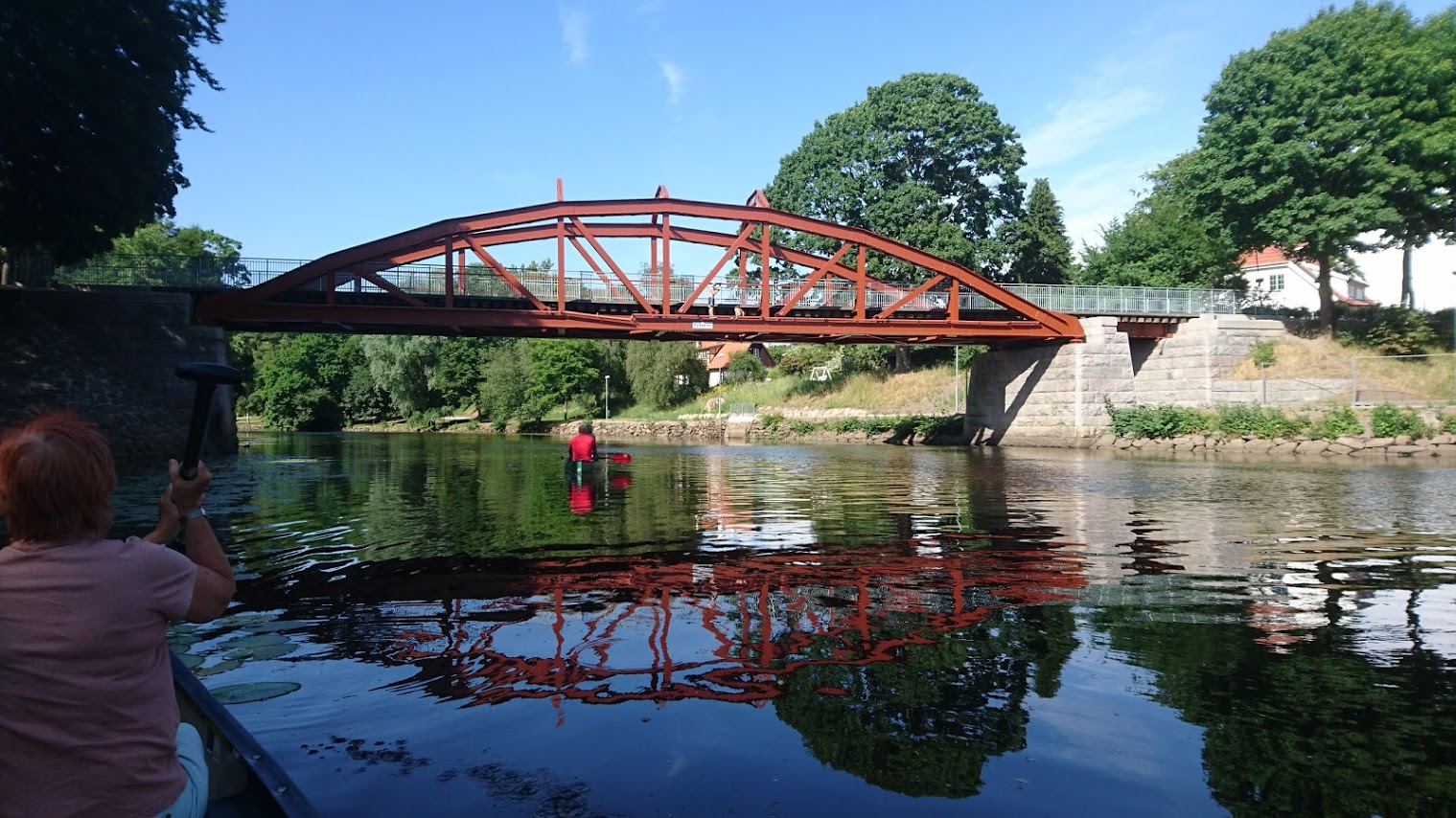
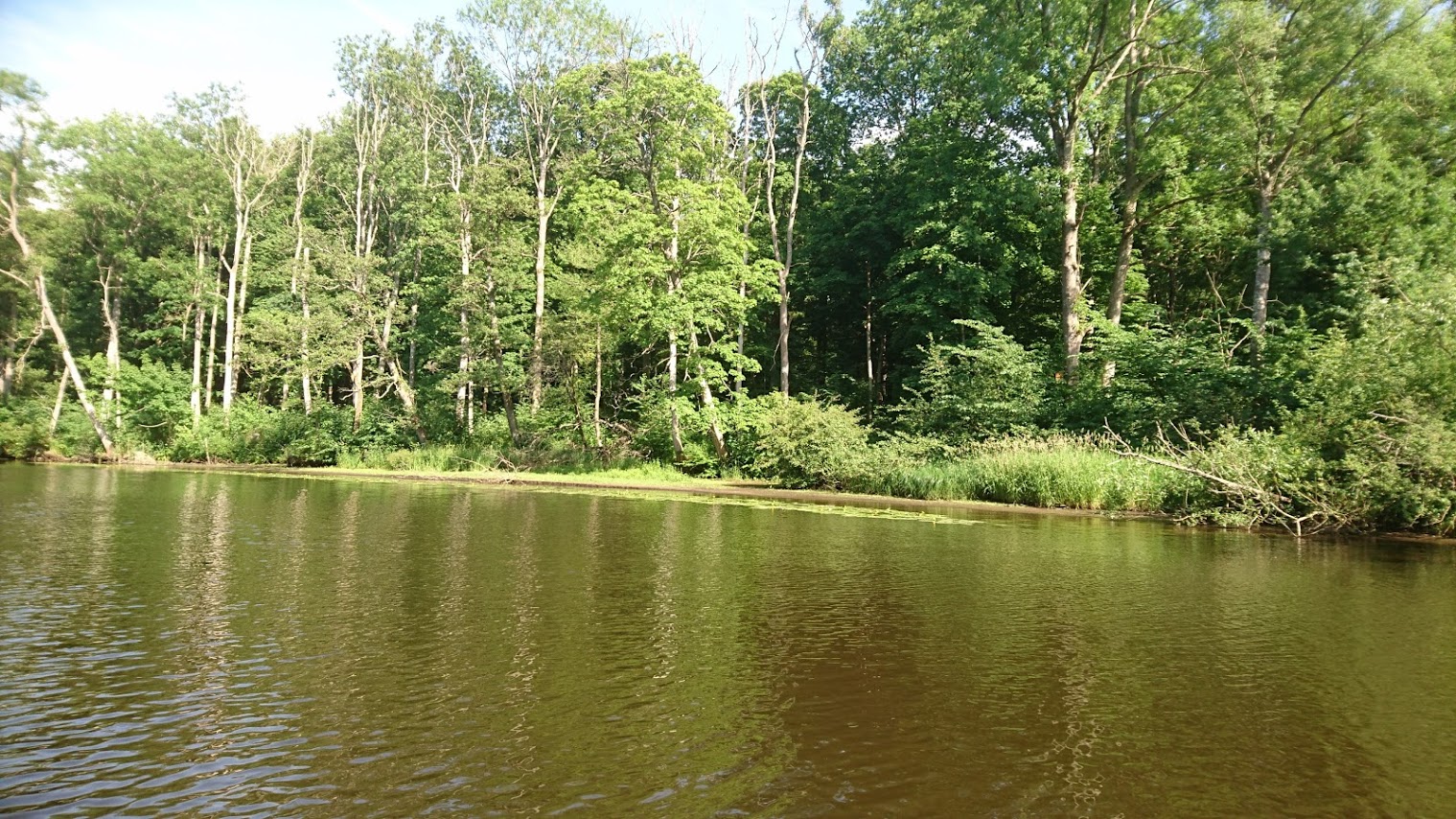
Canoeable from Klippan power station to the sea and, I’m told, also a bit above the top Klippan dam. We paddled from the E4 motorway bridge. Gentle touring, no rapids, but beware fallen trees. A tourist boat, the Laxen, cruises the scenic loops around Angelholm, home of Koenigsegg sports cars and an ice cream factory. The locals love their bridges – I counted 16 between the E20 and the sea – although Tullport, the latest, is causing them trouble.
The best map is Terrankartan 1:50,000, no 507 Helsingborg. We stayed at the famous Starby B&B, (click here) run by the legendary Urban Lennartson; don’t miss the fermented fish and model Holy Land!
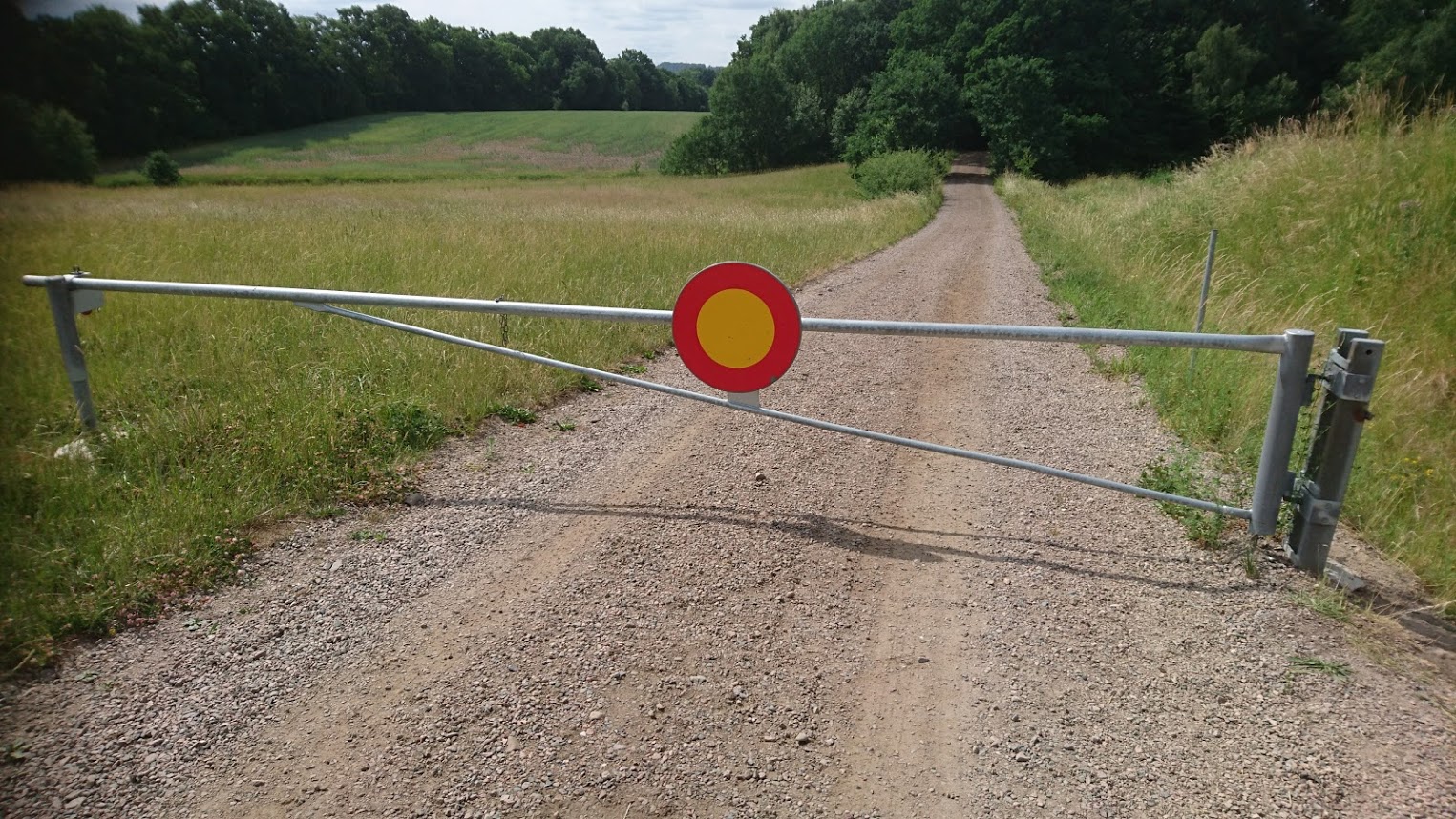
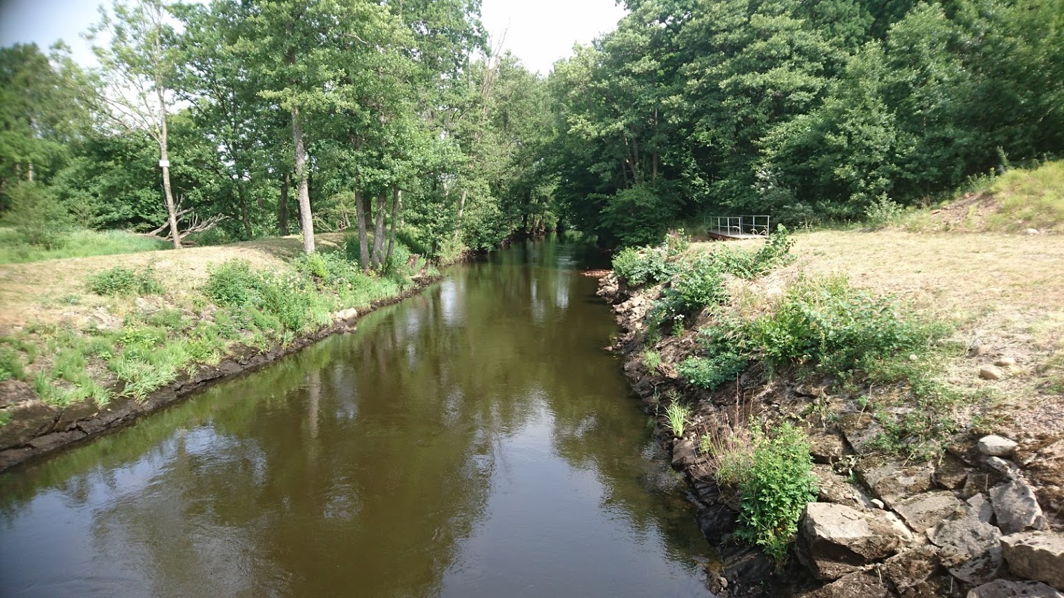
0 km – Klippan dam. Take the road signed to KMT AB Entr & Service. Barrier 0.5 km up the track, so longish carry. The track is good and the launch spot easy. The 0.7 MW power station (1950), one of eight run by Skanska Energi, is small for a hydroelectric power station, but approximately equivalent in power output to the largest wind turbine ever built.


1 km – A13 bridge. No easy access.
1.5 km – Railway bridge
8 km – Tranarp road bridge. No easy access.
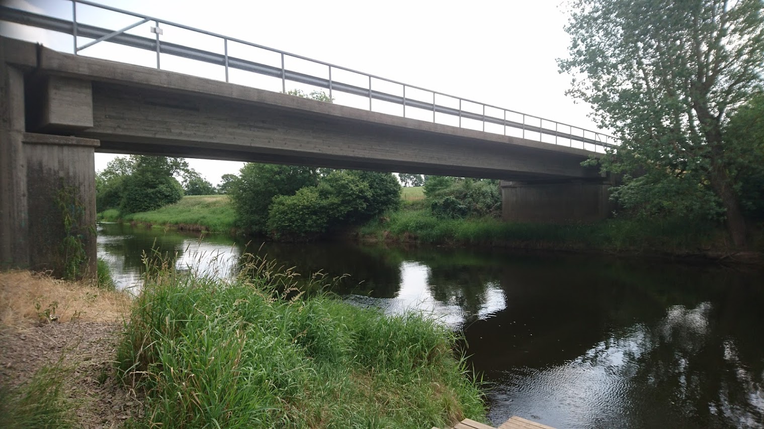
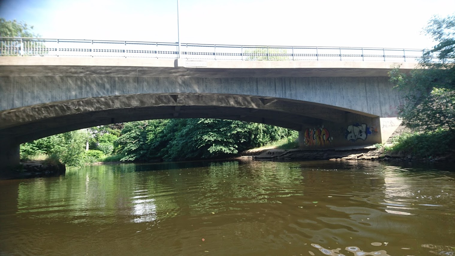
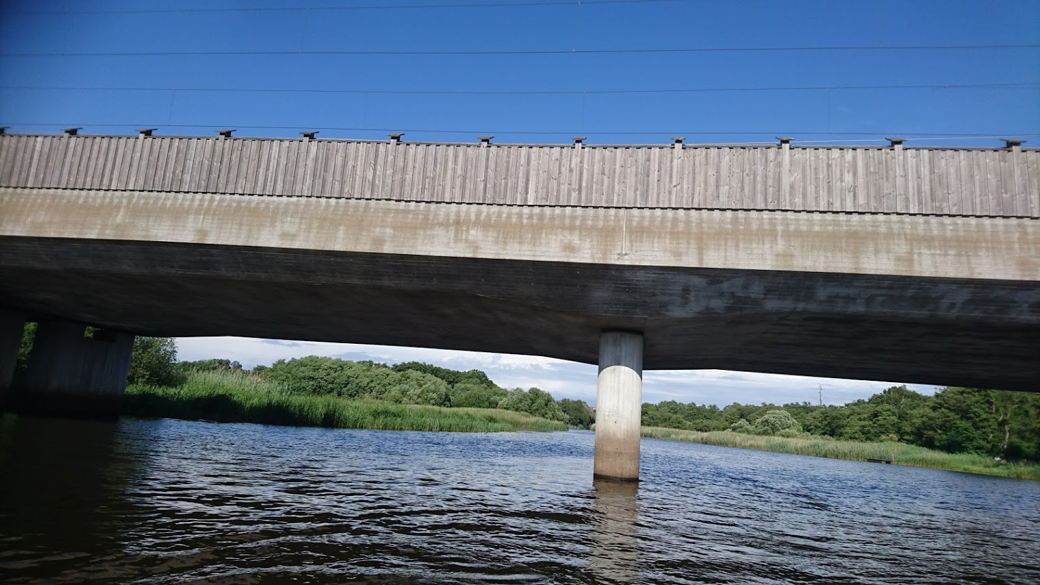
8.5 km – E4 motorway bridge. Excellent access from the Starby road from which a track runs under the flyover to the river. We started here.


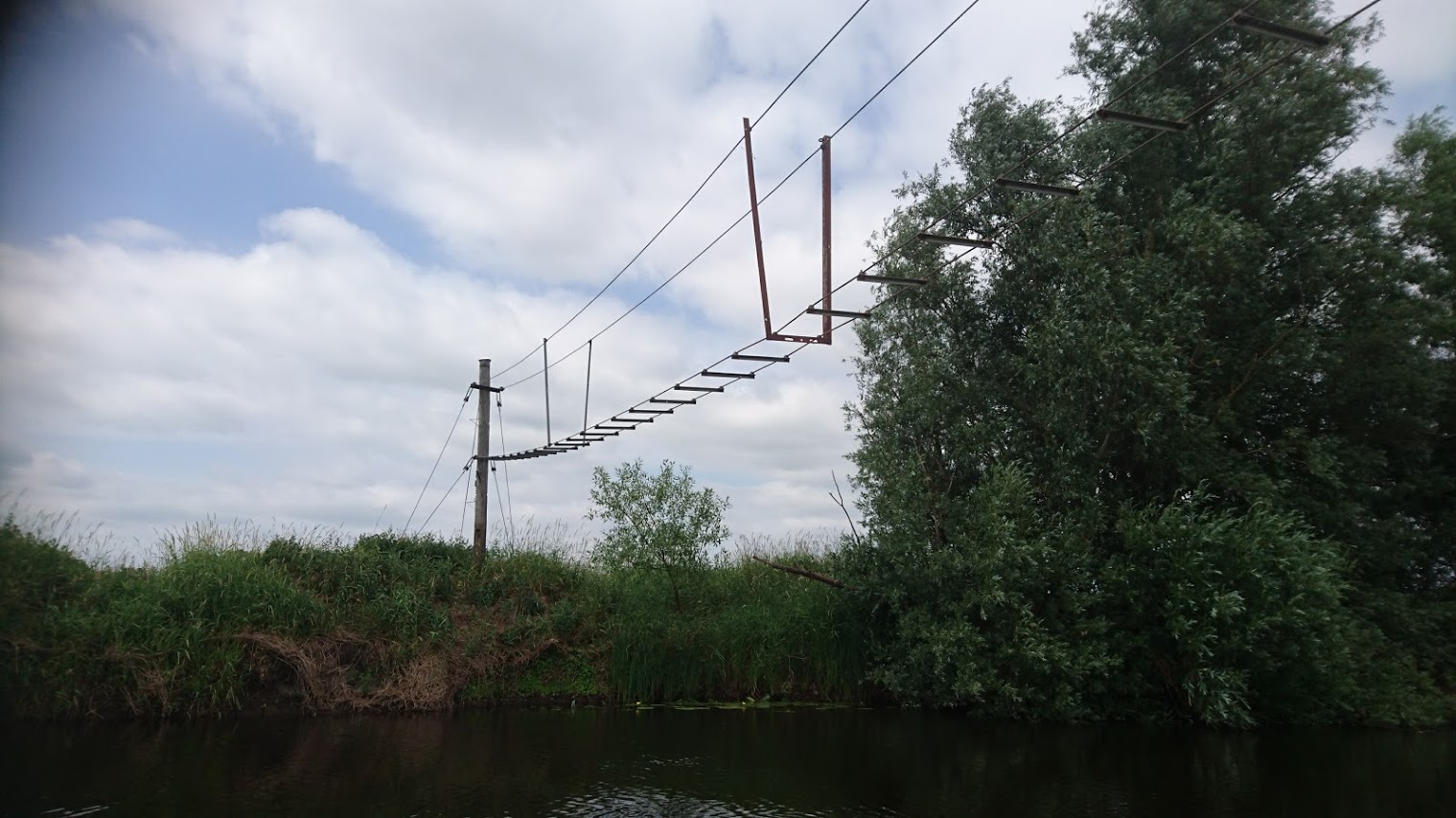
10.5 km – Flimsy wire footbridge

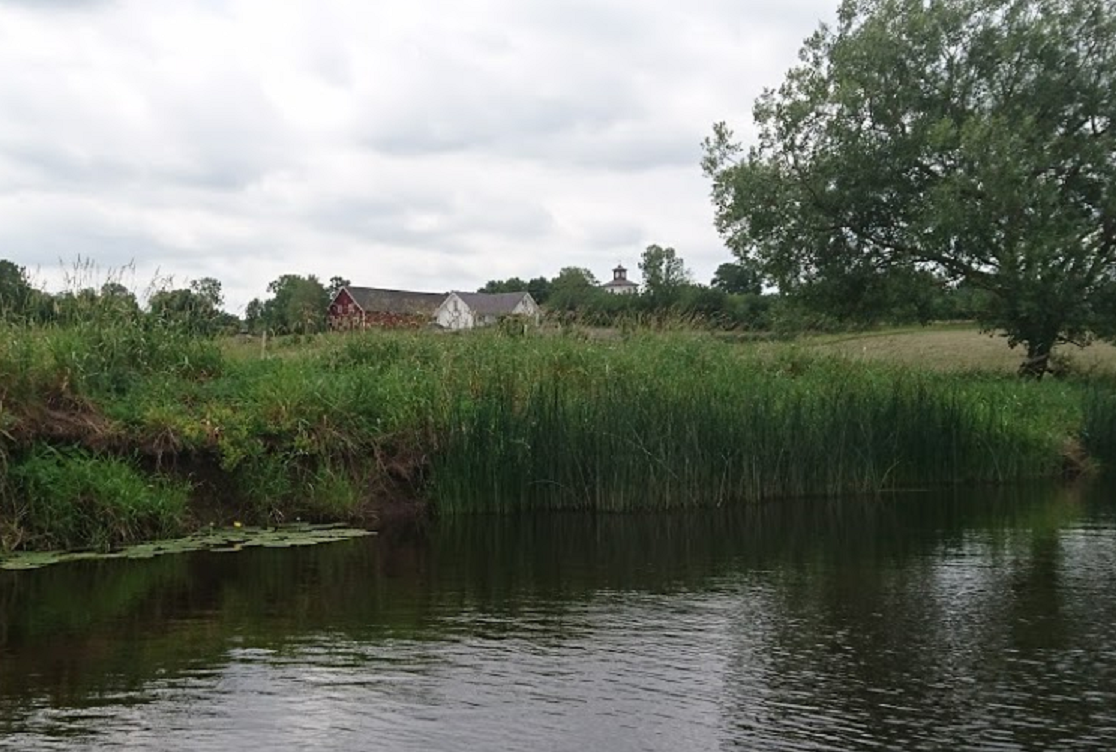
12 km – Starby left. No easy access but the church is visible over the trees.

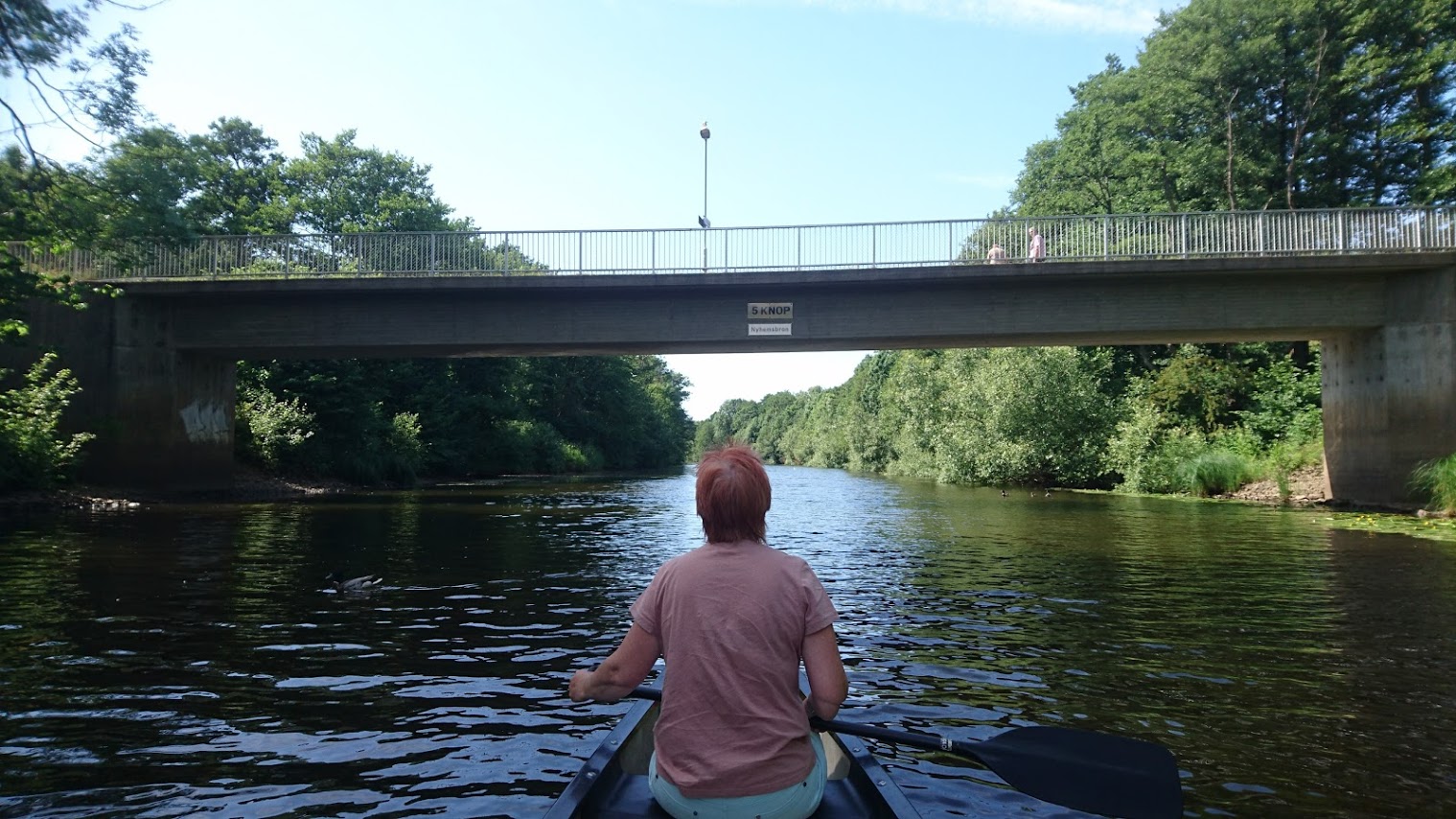
14 km – Starby bridge. Access left. Parking.


17 km – Neuhof bridge. Hoja left. Access right. Parking


20 km – F6 E20 motorway bridge

20.5 km – Angelhom ring road (kungsgardsleden) bridge
22 km – footbridge
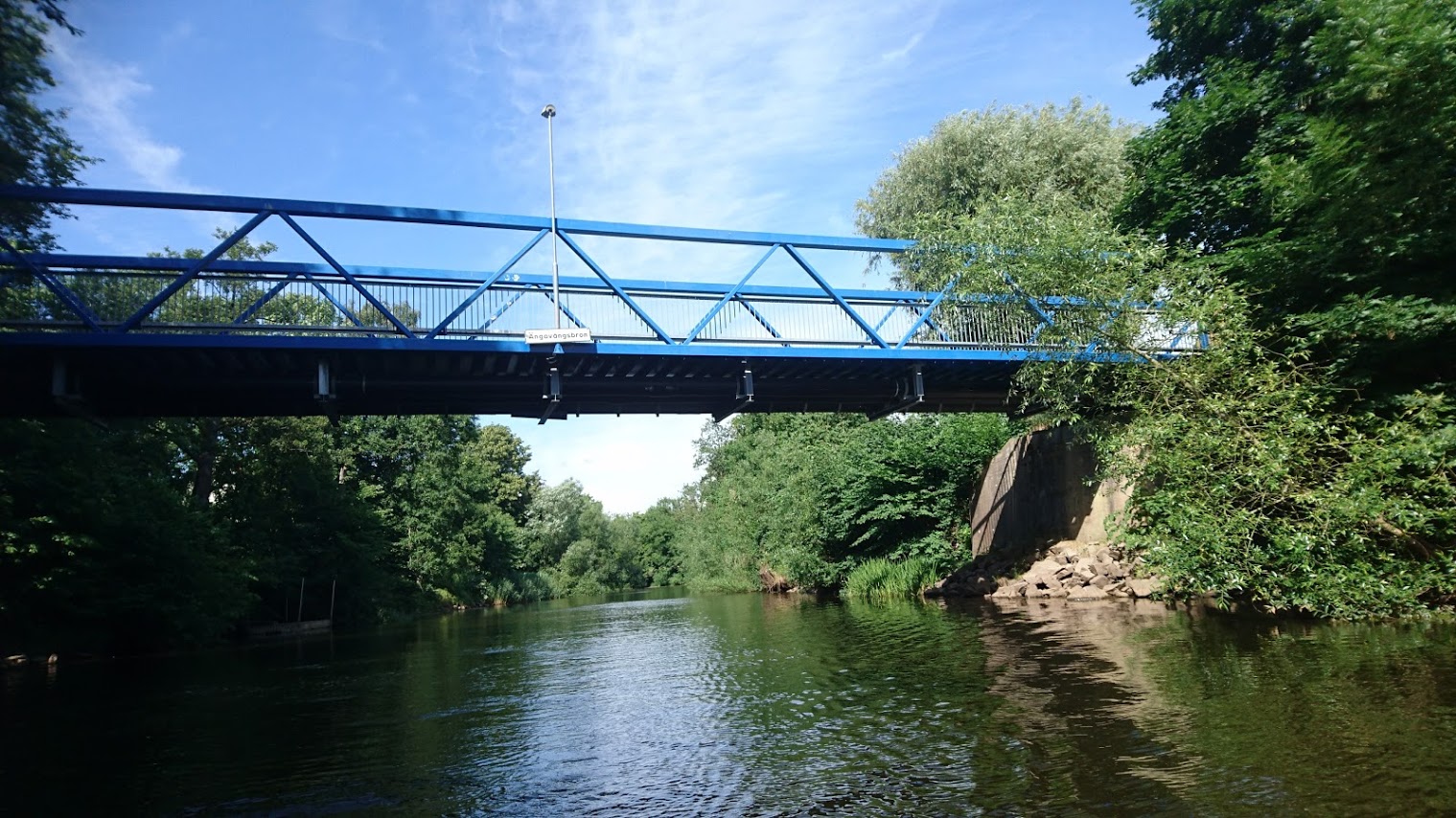
23 km – Angavangs bridge
23.25 km – Kristian II bridge

23.5 km – footbridge

23.75 km – Tegel bridge

24.5 km – Carl XV bridge (2005). Site of a much older bridge (click here)


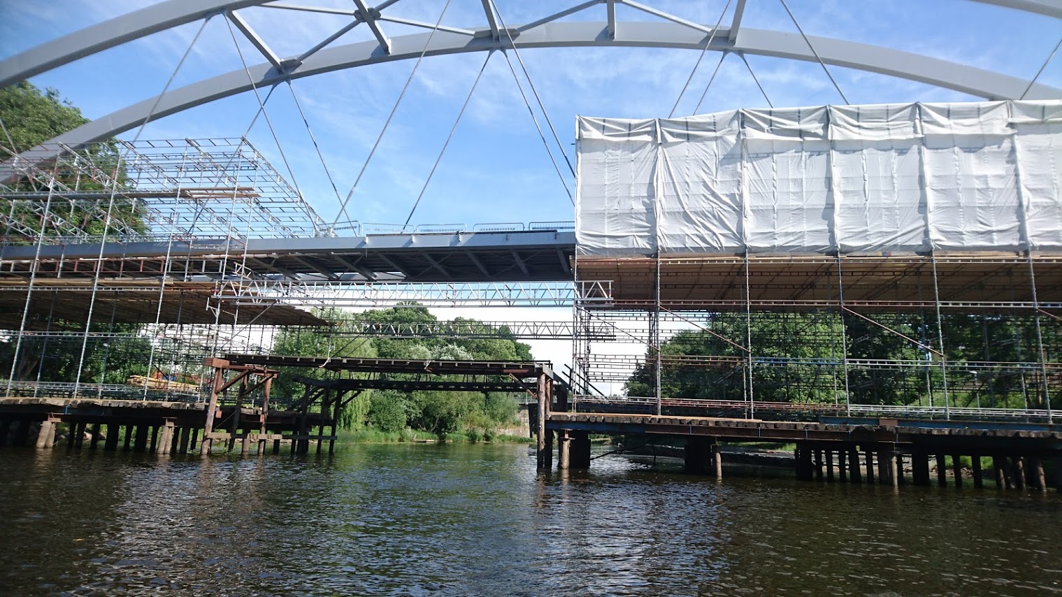
24.6 km – Tullport (Customs port) bridge. Built in 2017 and already closed for repair. Not only is it sloping 4 degrees but the beams were shifting and rusting within months of opening. Good looking, but surely over-engineered for a footbridge.


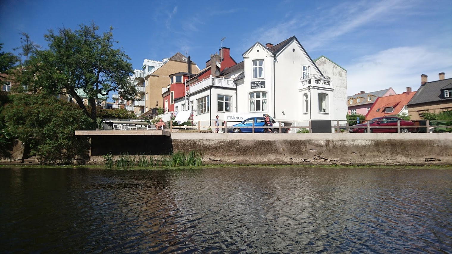
Lilton hotel right


25 km – Jarnvags bridge. Railway station left.


25.25 km – footbridge. Followed by some lovely riverside apartments.

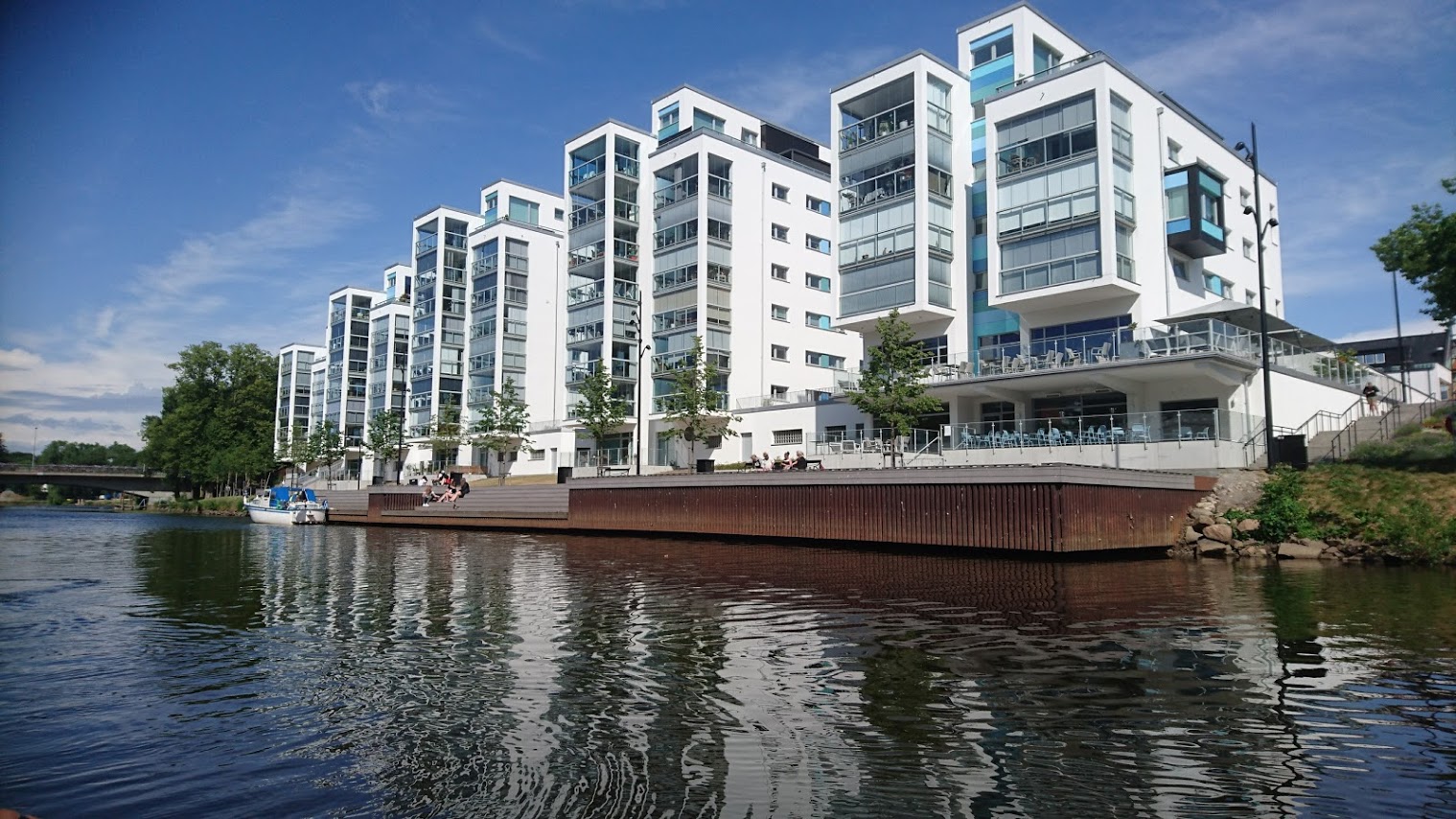
25.5 km – New bridge and more handsome flats


26 km – footbridge. Followed by Angelholm park right.

26.5 km – Roddock canoe club (click here) left.


28 km – Two adjacent railway bridges

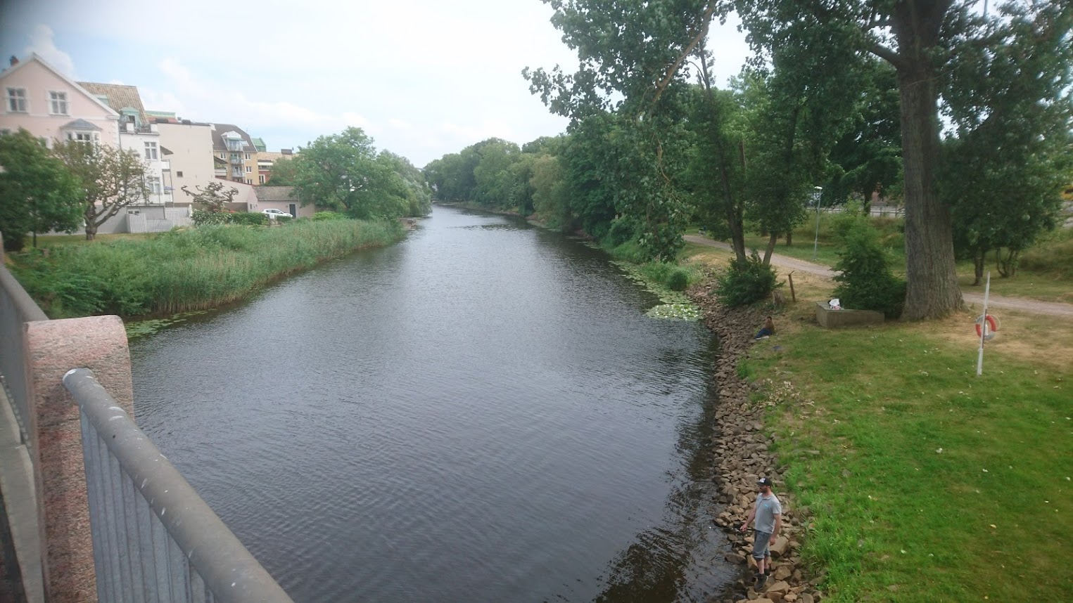
29 km – Footbridge followed by marina right. Access and parking.


Jim Thornton
